Village · Guadalajara · 1,178 m
Morenilla
Morenilla is a small village at around 1,190 metres southeast of Molina along the N-211. The Gallo River crosses its territory from southwest to east, softening a high terrain that rises to 1,370 metres to the south. In 1850 it had 110 residents; today around fifty.
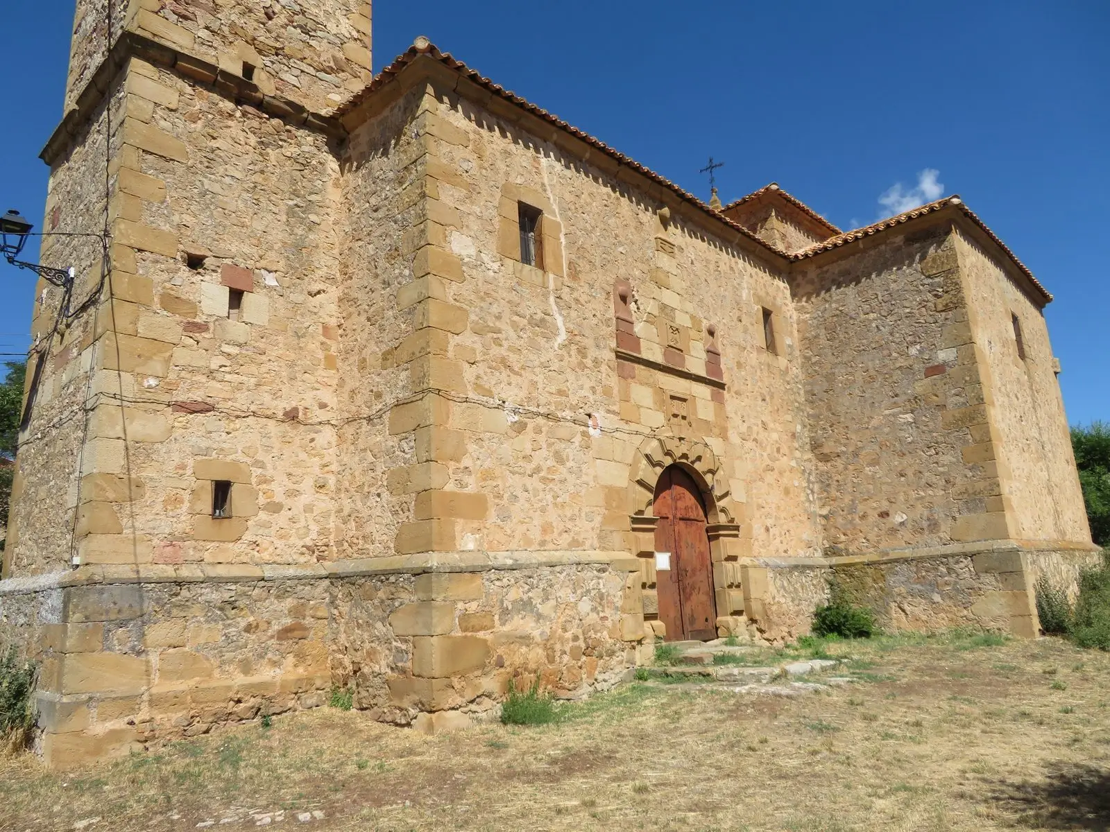
Along the Gallo
Morenilla stands at around 1,190 metres, in the high plateau southeast of Molina. The Gallo River traverses the municipality from southwest to east, opening a gentler valley within terrain that climbs to 1,370 metres in the south. Madoz counted around 110 inhabitants in the mid-19th century; today there are about fifty.
Nearby
Morenilla is a practical starting point for exploring the hamlets of the historic Pedregal district:
- Hombrados, two and a half kilometres away, with its open-air museum.
- El Pobo de Dueñas, with its ethnographic museum.
- Chera, next to the hillfort of La Coronilla.
Near Morenilla
Hombrados Open-Air Museum: farm machinery in the streets
HombradosHermitage of the Virgen de la Carrasca: Romanesque in Sierra de Caldereros
Castellar de la MuelaEthnographic Museum of El Pobo de Dueñas
El Pobo de Dueñas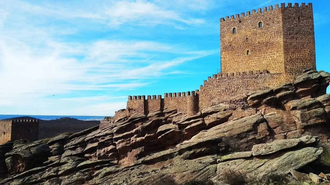
Castle of Zafra: the rock fortress of the Sierra de Caldereros
Castro de El Castillejo (Anquela del Pedregal): two enclosures upon a hill
Anquela del Pedregal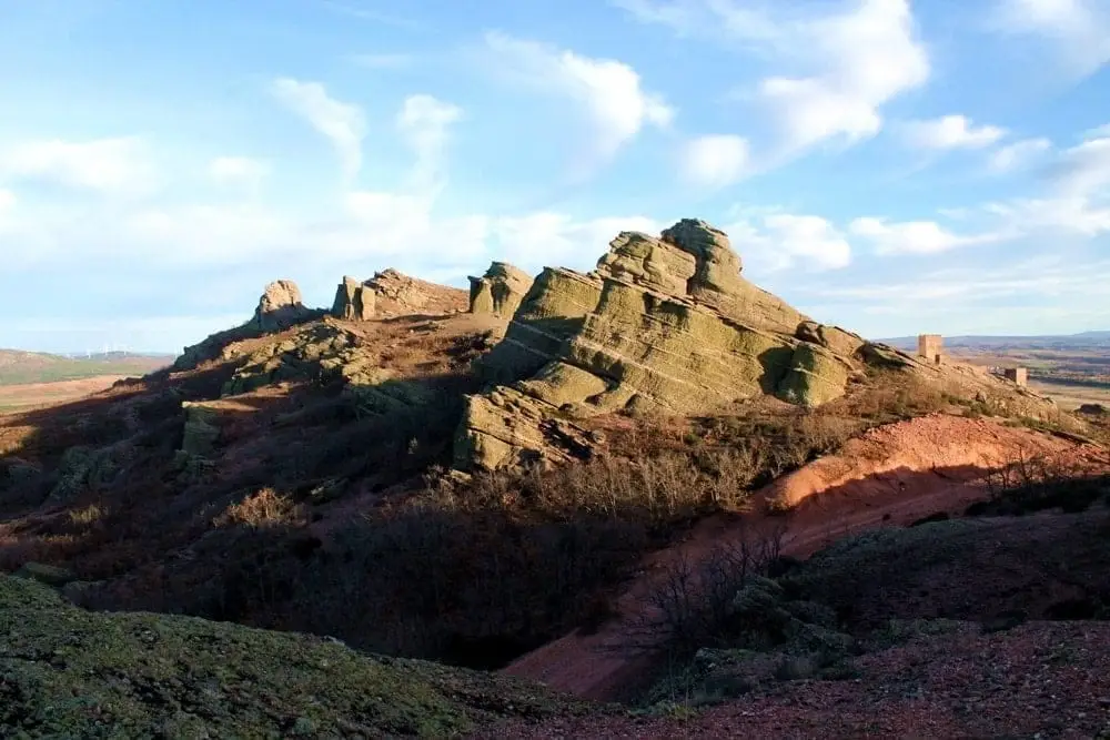
Sierra de Caldereros: Red Sandstone and Zafra Castle
Castro de La Coronilla (Chera): an excavated Celtiberian hillfort
CheraFortified house of La Bujeda (Traíd)
TraídPopulation of Morenilla, 1842–2021
Morenilla reached a peak of 291 inhabitants in 1940 . In the 2021 census there were 50 , a decrease of 83%. This is the history told in the emptying of the Alto Tajo.
Climate in Morenilla month by month
2015–2024 averages from Copernicus ERA5 reanalysis for an altitude of approx. 1,178 m. Useful for planning, not a substitute for live forecasts.
Location
● Reference point · ● Villages · ● Places
Location diagram. Detailed map with tracks and names loads on zoom.
Reference villages: Hombrados · El Pobo de Dueñas · Anquela del Pedregal · Chera.
Open the full map and historical layers →