Village · Guadalajara · 1,190 m
El Pedregal
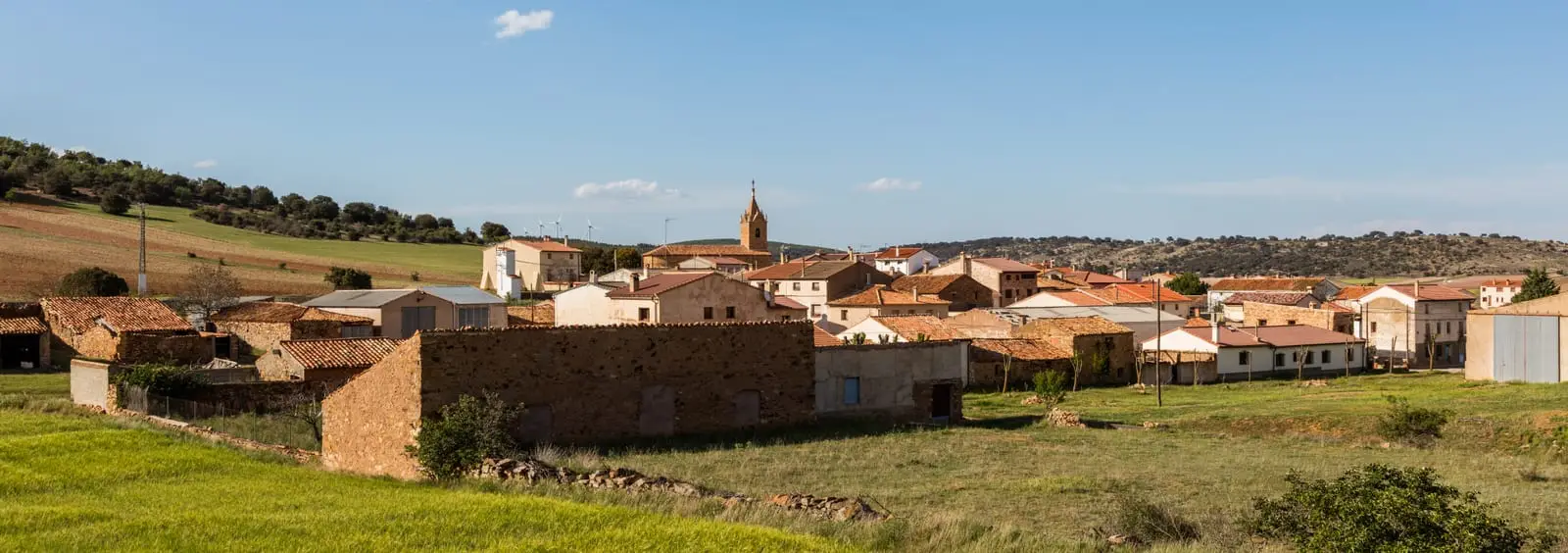
El Pedregal is the last village on the N-211 before entering Teruel, at about 1,190 metres, between plains and heights rising to Sierra Menera. It named the historical Sexma del Pedregal. It preserves five pairones, including a 19th-century one on the Setiles road still used for blessing fields on the May Cross.
Lands and landscapes
From here, follow the memory of the territory
These readings connect El Pedregal with the history, work, and villages around it.
What to see in El Pedregal
- Its pairones: five stone pillars beside paths, such as that of San Pedro (19th century) on the track to Setiles.
- Sierra Menera to the south, approaching 1,380 metres at Collado del Raso.
Village of the Sexma
The Tierra de Molina was divided into four sexmas, and one took its name from this village: the Sexma del Pedregal, gathering settlements in the southeast of the Señorío. El Pedregal sits at about 1,190 metres and is the last municipality traversed by the N-211 before reaching Teruel.
Nearby
Setiles, with its iron mines, and El Pobo de Dueñas, about six kilometres away.
Places in and around El Pedregal
Routes linked to El Pedregal
Near El Pedregal
Setiles iron mines: the other side of Sierra Menera
SetilesEthnographic Museum of El Pobo de Dueñas
El Pobo de Dueñas
PR-GU 23: the historic mining trail of Setiles
15.8 km · Circular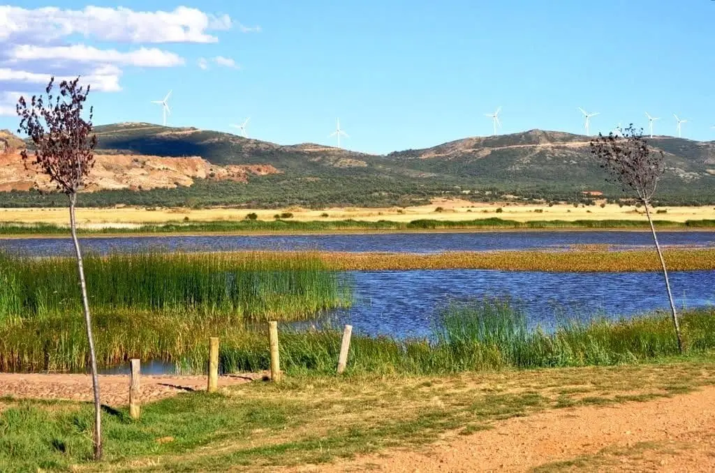
Setiles lagoon or Laguna de los Majanos
Hombrados Open-Air Museum: farm machinery in the streets
Hombrados
Tordesilos lagoon: birds on the eastern boundary
Tordesilos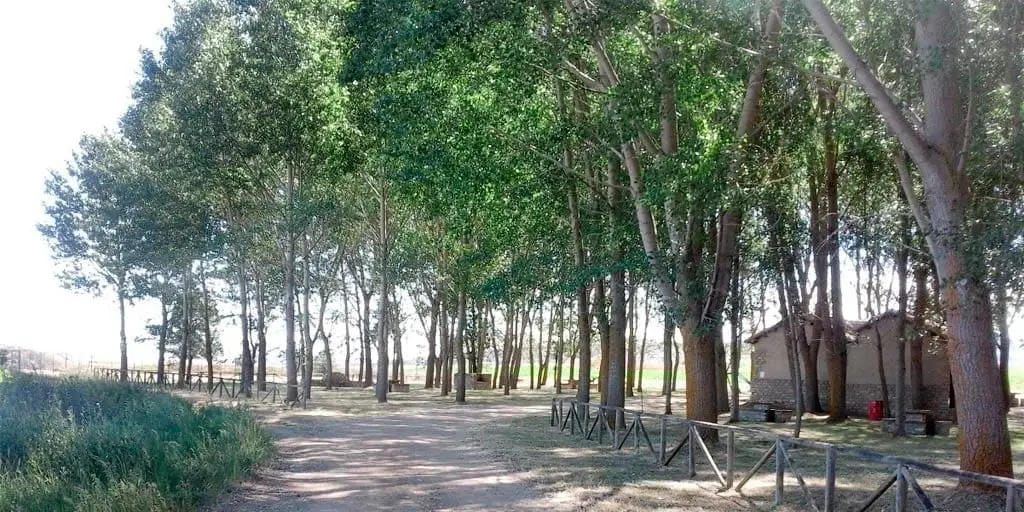
La Laguna recreation area (Tordesilos)
Tordesilos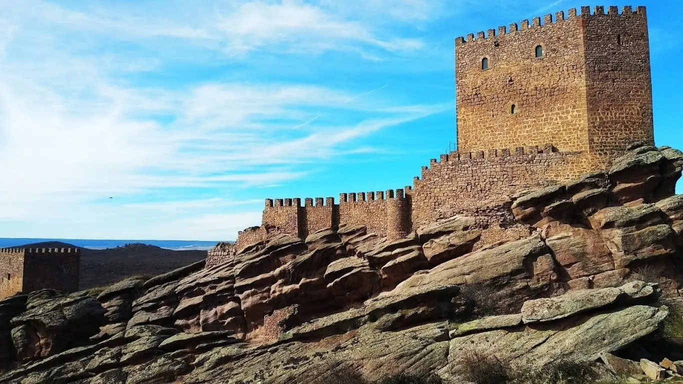
Castle of Zafra: the rock fortress of the Sierra de Caldereros
Population of El Pedregal, 1842–2021
El Pedregal reached a peak of 363 inhabitants in 1940 . In the 2021 census there were 66 , a decrease of 82%. This is the history told in the emptying of the Alto Tajo.
Climate in El Pedregal month by month
2015–2024 averages from Copernicus ERA5 reanalysis for an altitude of approx. 1,190 m. Useful for planning, not a substitute for live forecasts.
Location
● Reference point · ● Villages · ● Places
Location diagram. Detailed map with tracks and names loads on zoom.
Reference villages: Setiles · El Pobo de Dueñas · Hombrados · Tordellego.
Open the full map and historical layers →