Route · Corduente
Sendero 8: Trail 8: El Rodenal de Corduente
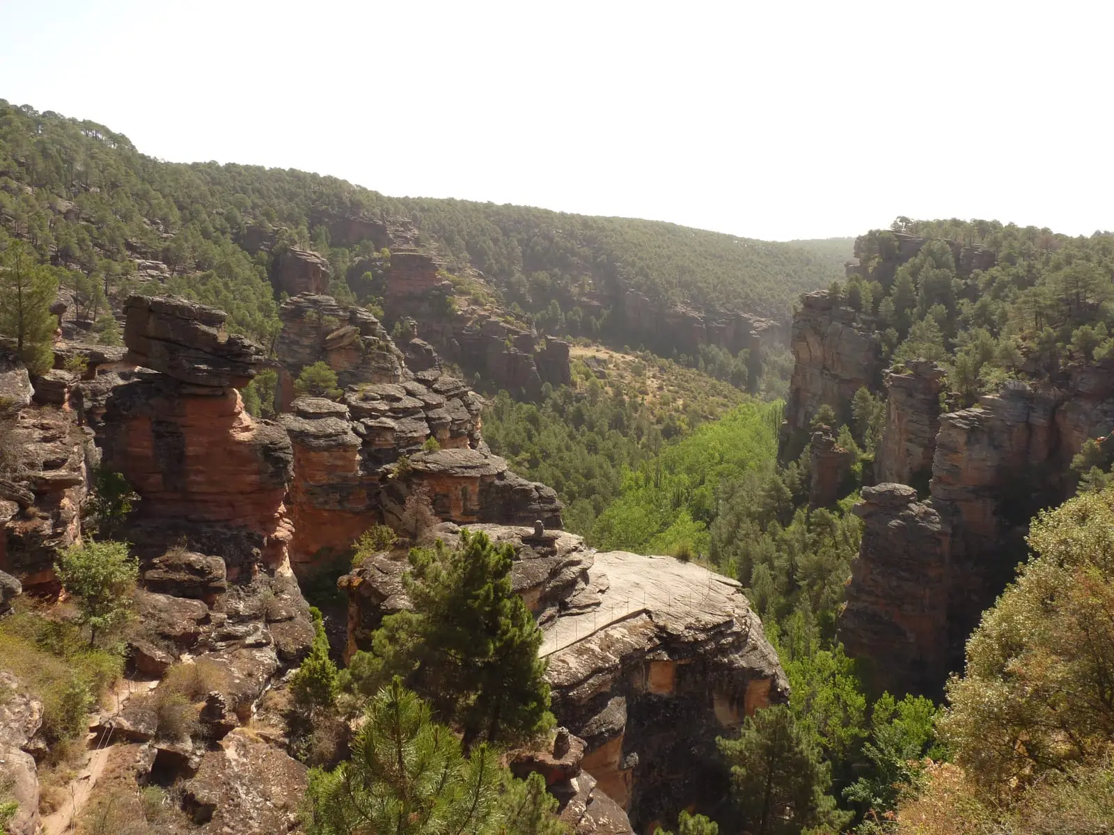
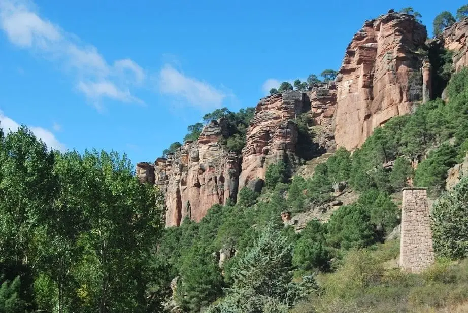
Gentle circular walk of 9 km and 3 hours linking Virgen de la Hoz sanctuary, Forest Ranger monument, Corduente pool, and the visitor centre, through the Gallo River canyon cut into rodeno conglomerates. Waymarked, best walked counter-clockwise. Not suitable for bikes.
- Code
- Sendero 8
- Distance
- 9 km
- Elevation gain
- 195 m
- Duration
- 3 h
- Trail type
- Circular
- Difficulty
- Easy
- Altitude
- 1,102 m
Walking duration without transfers or stops. Difficulty rated according to the official source; verify its conditions and notices. “Easy” does not imply wheelchair or stroller accessibility.
- Sendero 8
- Gentle circular
- Gallo canyon
- Counter-clockwise
- Formerly SL PNAT 1
The red canyon on foot
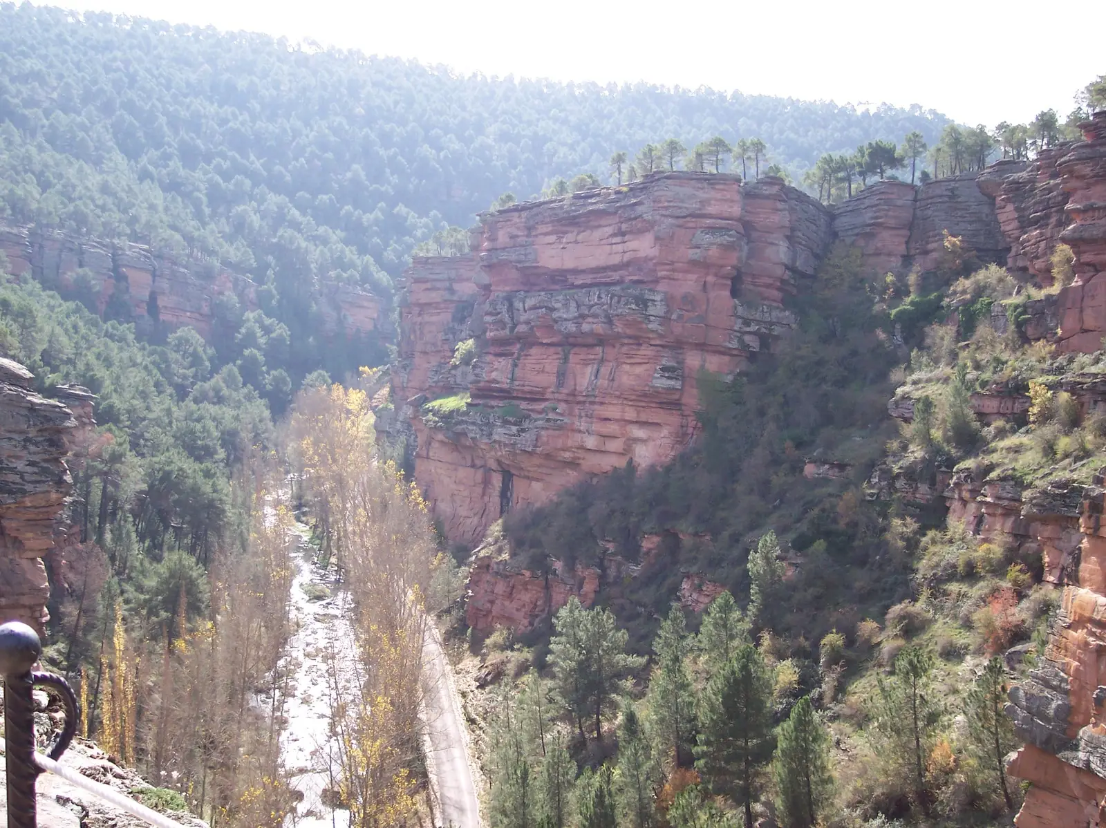
The trail follows tracks, a short road section, and footpaths through pine woodland and riparian vegetation, entirely within the canyon of the Gallo River, carved through rodeno sandstone conglomerates. Can be started from several parking areas: the sanctuary of Virgen de la Hoz and its viewpoints, the Forest Ranger monument, the municipal pool of Corduente, or the Dehesa de Corduente Interpretation Centre.
Practical tips
Follow it in the direction of the arrow markers (counter-clockwise): walking clockwise makes navigation confusing. Children enjoy it if the distance is respected. The section between the sanctuary and the viewpoints precludes bicycles or wheelchairs. A drinking fountain stands beside the visitor centre and refreshments are available at the municipal pool or the sanctuary inn; otherwise, no potable water is available.
Before you set out
Carry water, mountain footwear, and download the GPS track in advance: mobile reception is absent in many areas. Check the forecast on Today in the Alto Tajo and the official trail sheet for notices and closures, and respect seasonal restrictions during raptor breeding periods.
Official route · Parque Natural del Alto Tajo (Junta de Castilla-La Mancha). Description, track and notices on the official guide. Before setting out, verify there whether changes or closures apply.
Location
● Reference point · ● Villages · ● Places · ━ Simplified official route
Location diagram. Detailed map with tracks and names loads on zoom.
Reference villages: Corduente · Ventosa · Torete · Rillo de Gallo.
Open the full map and historical layers →