Viewpoint · Corduente, Ventosa
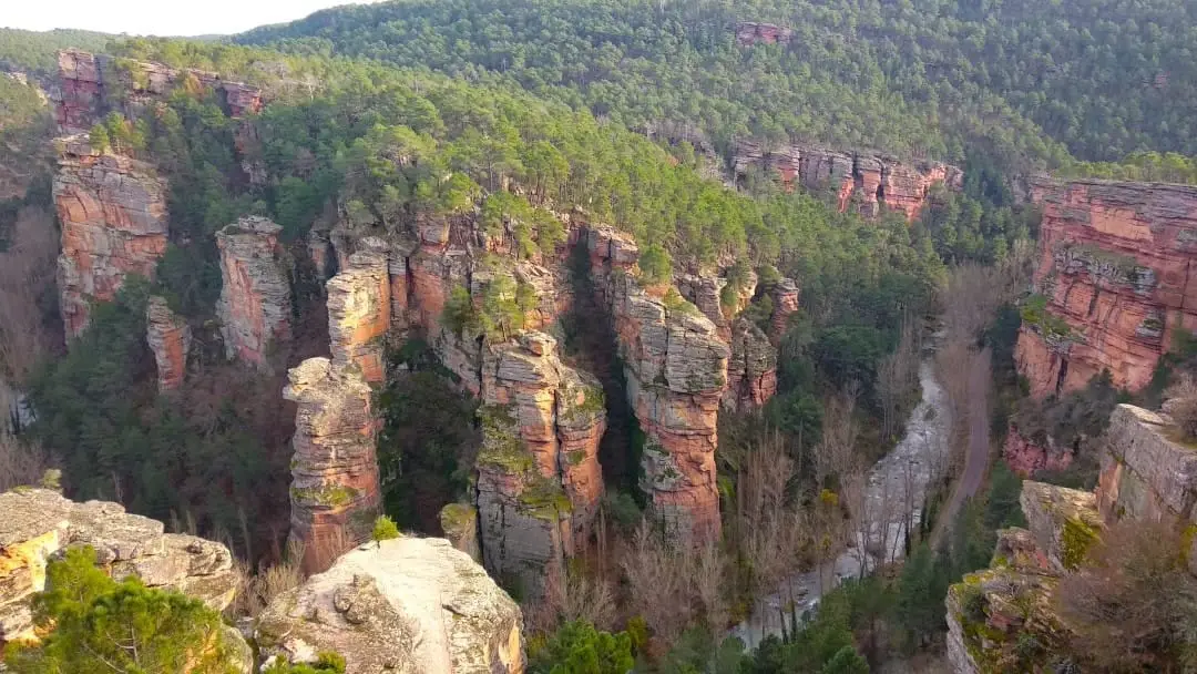
Barranco de la Hoz viewpoint: aerial panorama of the red canyon
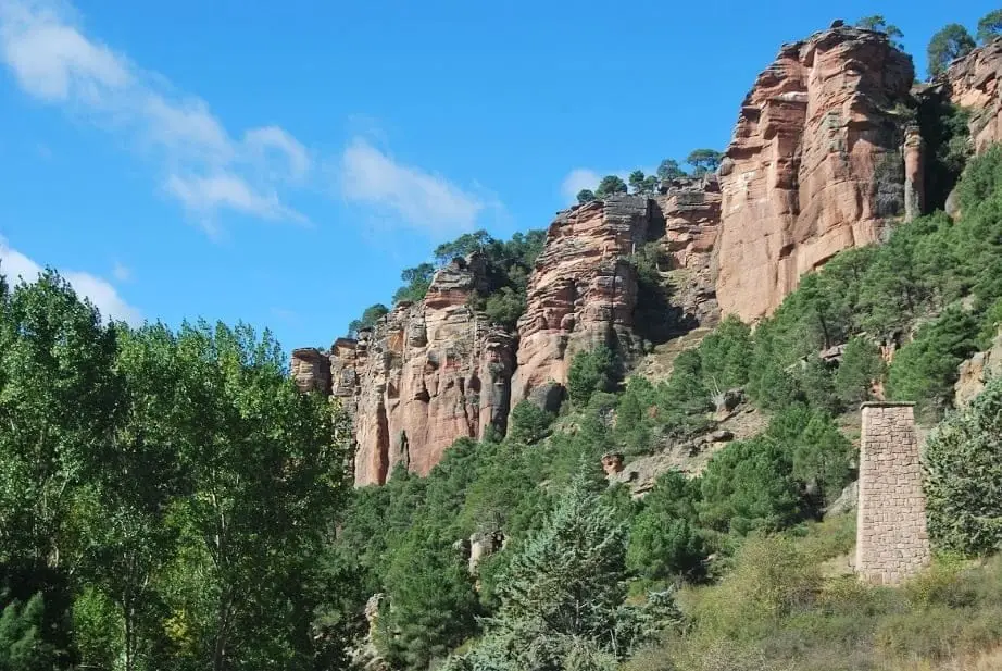
The Barranco de la Hoz viewpoint is one of the most striking in Guadalajara: looking down on the Virgen de la Hoz sanctuary nestled beneath red cliffs and the Gallo River. It consists of three tiered viewpoints reached from the hermitage along a rock-cut stepped trail.
- Best season
- Autumn
- Municipality
- Corduente
- Province
- Guadalajara
- Three viewpoints
- Stepped rock trail
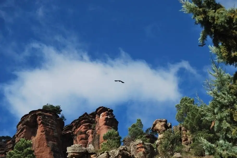
- Bird panel
- Georoute 5
- Autumn
Three tiers above the canyon
The path starts next to the Virgen de la Hoz hermitage and climbs in a zigzag, with steps cut into the bedrock. Along the way are two intermediate viewpoints, equipped with geology panels from Georuta 5, and at the summit the upper lookout, offering the broadest vista and a bird identification board. It is worth pausing at all three.
What you see
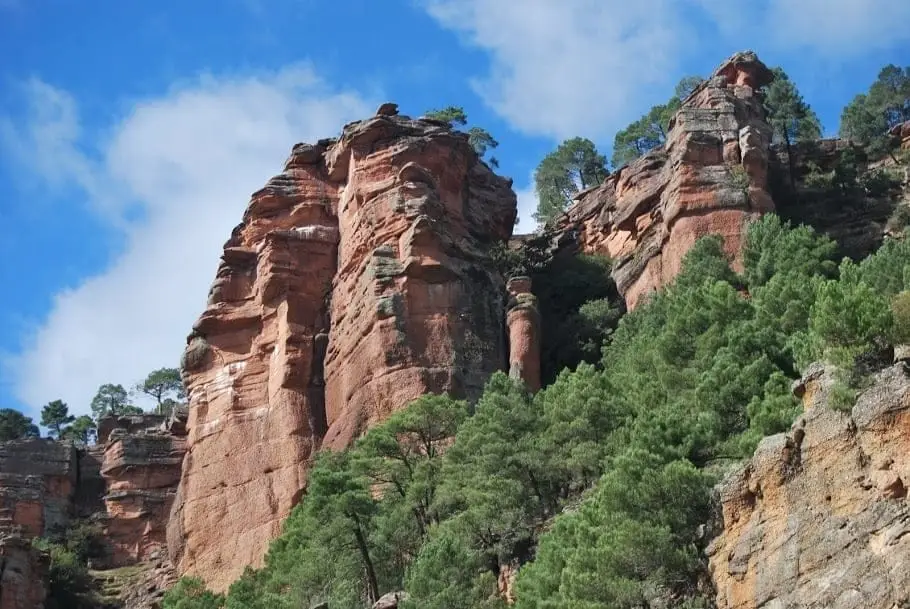
Below your feet, the sanctuary and inn nestled tight under the rock; opposite, crags and towers of red sandstone; and along the valley floor, the Gallo River with its riparian trees. On the canyon walls grow black pines, driving their roots into narrow fissures.
When to climb
In autumn, when the riverside trees turn bright yellow and ochre, the view is memorable. At nightfall, artificial floodlighting on the cliffs transforms the whole scene.
Planning the visit
The climb is an extension of exploring the sanctuary, not a roadside stop. Allow time to pause and rest on the steps.
Before you go
Assess the climb according to your group’s fitness and trail conditions. In ice, rain, or high winds, prefer walking along the canyon floor.
Pairing your trip
Continue to Barranco de la Hoz. Check its page to see if it fits into your visit.
Photo: El Observario
Frequently asked questions
How do you climb to the Barranco de la Hoz viewpoint?
From the Virgen de la Hoz hermitage, along a winding path with steps cut into the rock, passing two intermediate lookouts before reaching the top.
Location
● Reference point · ● Villages · ● Places
Location diagram. Detailed map with tracks and names loads on zoom.
Approximate position: village centre.
Reference villages: Corduente · Ventosa · Rillo de Gallo · Valhermoso.
Open the full map and historical layers →Nearby routes
All routes →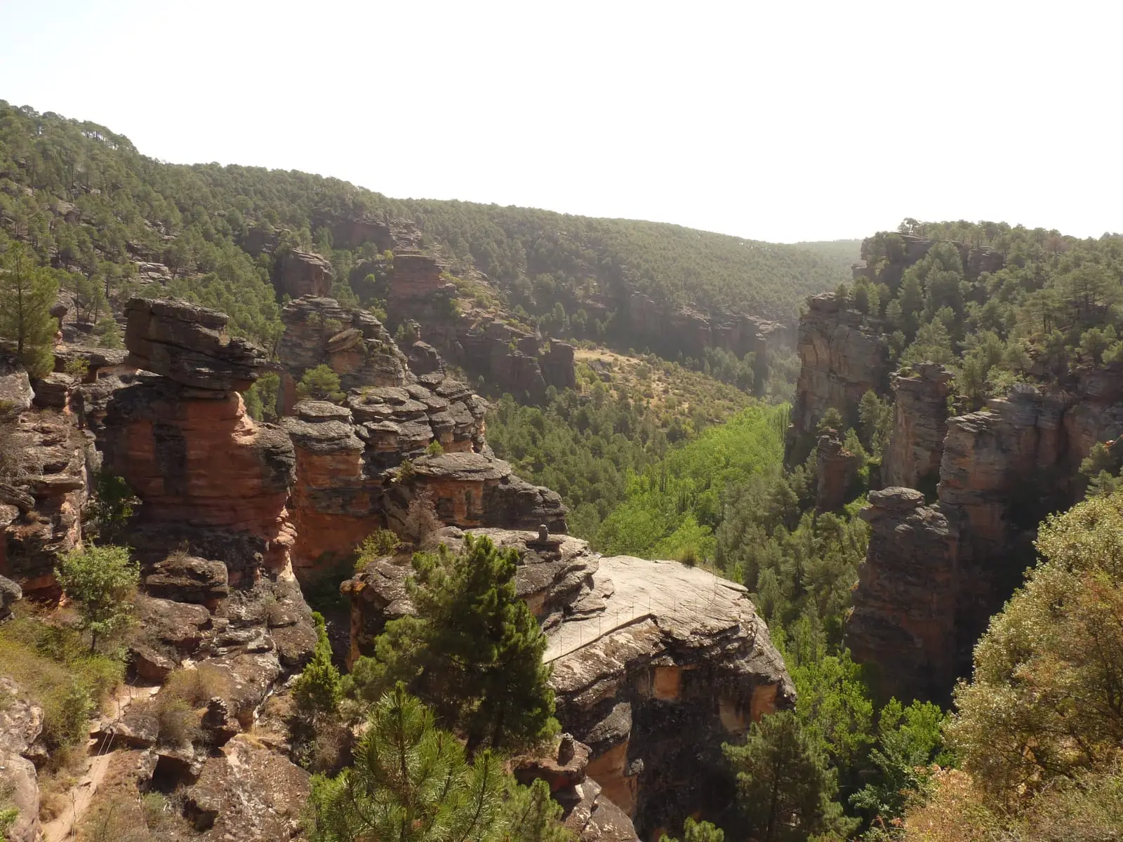
MTB route 5: Barranco de la Virgen de la Hoz (Gallo, Tagus, and Arandilla)
37 km · 8 h · Circular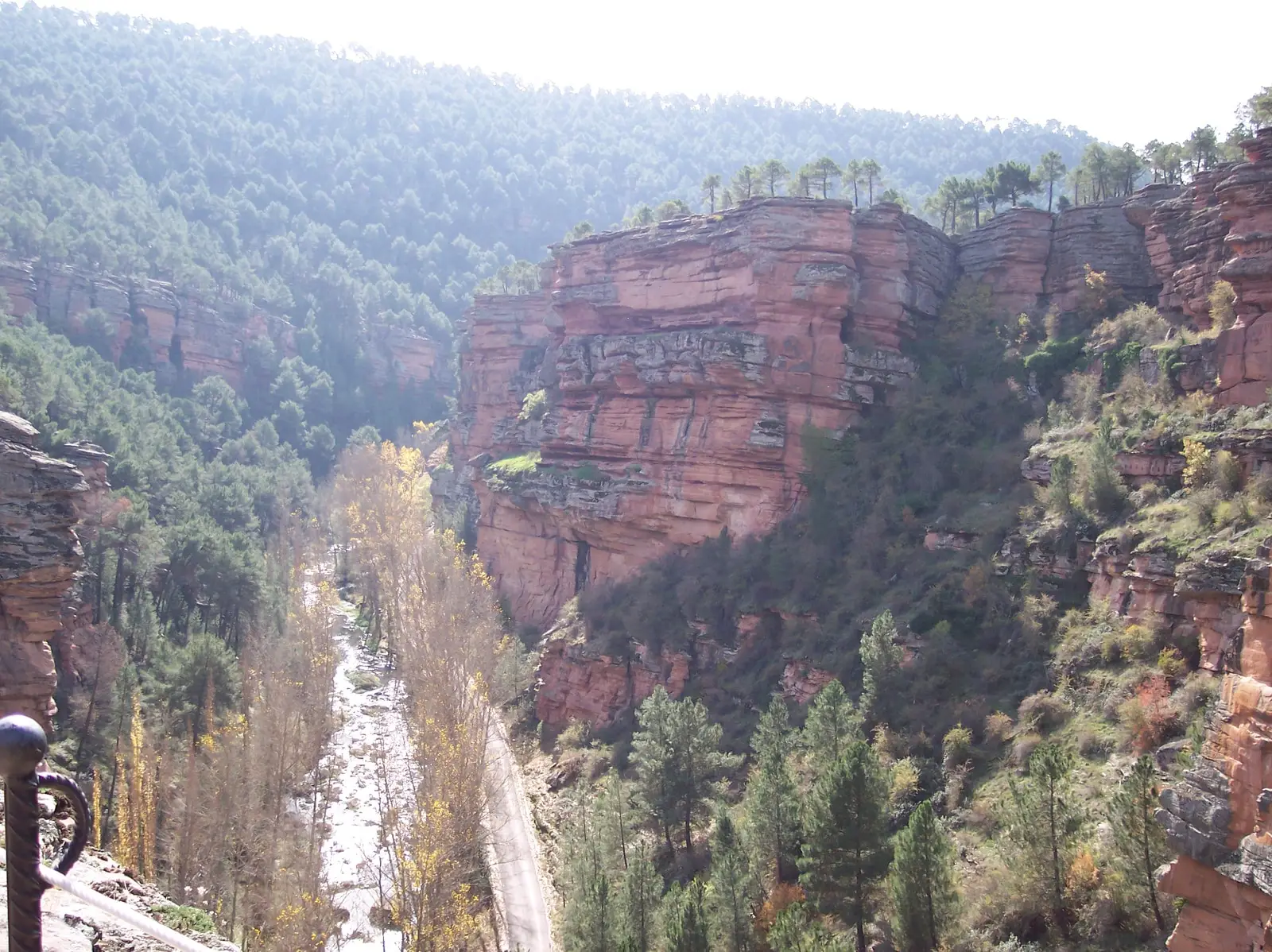
Trail 8: El Rodenal de Corduente
9 km · 3 h · Circular