Village · Guadalajara · 1,146 m
Canales de Molina
Canales de Molina is a village in the Señorío de Molina at about 1,150 metres. Just over 3 km along an agricultural track are the rock engravings of Peña Escrita, featuring large human-like figures on a 30-metre rock slab, whose origin remains an enigma.
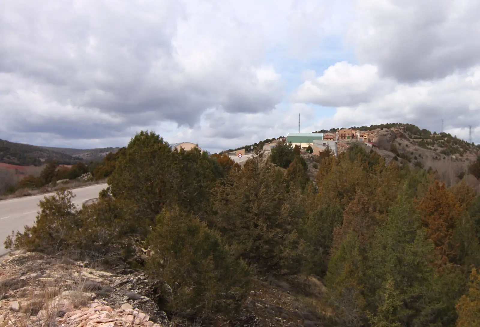
Traces in the village and its surroundings
Which eras you can read here
A single place can preserve traces from different eras. These layers connect what you see with the stories in the atlas.
1936–1939 · memory of the territory
The war in the village memory
The war also reached the work of the pine woods. Among LURE’s resin workers called up for military service were one worker from this village. Their story connects the memory of the woods with those who had to leave their trade during the conflict.
Source: Berlanga, capítulo 9, pp. 346–347.
Read the story of the river frontline →What to see
The engravings of Peña Escrita, reached on foot from the village along a farm track, an easy walk there and back.
Nearby
Herrería, with the Celtiberian castro of El Ceremeño, and Rillo de Gallo, with its rock art shelters.
Places in and around Canales de Molina
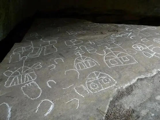
Near Canales de Molina
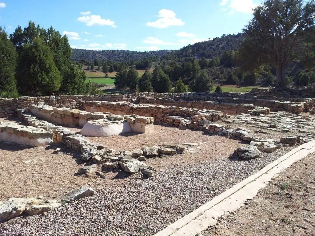
Celtiberian hillfort of El Ceremeño (Herrería)
Herreria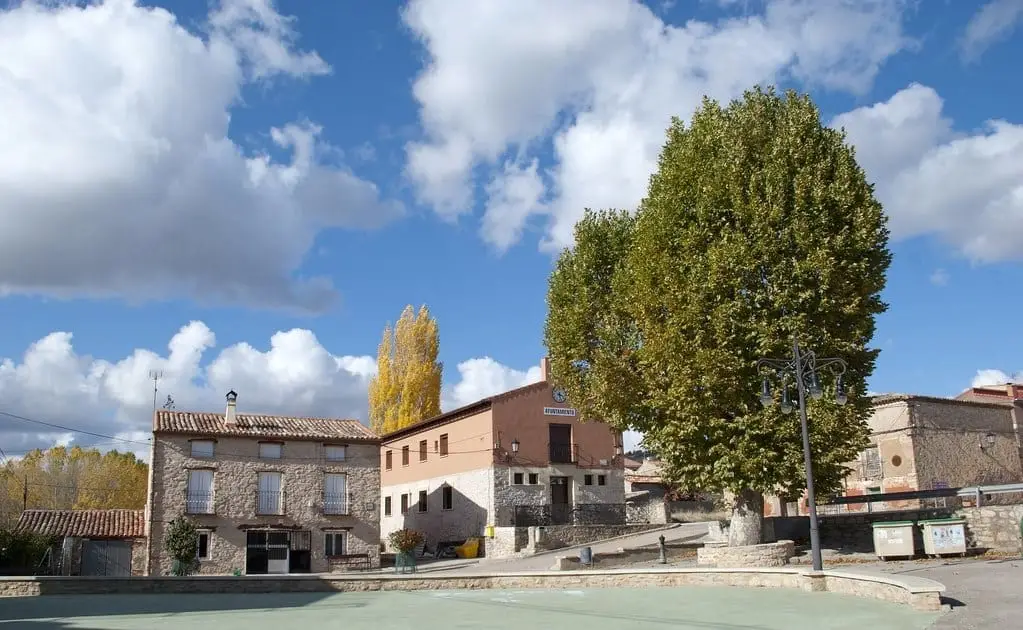
El Ceremeño Museum (Herrería)
Herreria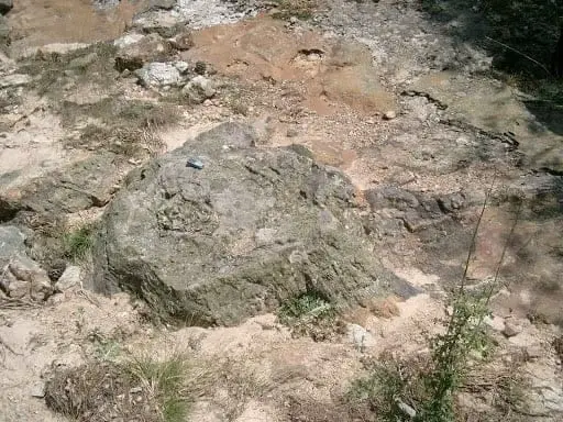
Fossil forest of Rillo de Gallo: a 300-million-year-old Pompeii
AragoncilloPardos mines: Mina Estrella and its copper minerals
PardosEl Turmielo (Aragoncillo): watchtower and shelter of early Molina history
Aragoncillo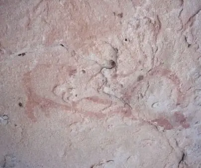
Rock shelters of Rillo de Gallo: UNESCO World Heritage Levantine art
Rillo de GalloTriassic rivers in Rillo de Gallo: current traces from 240 million years ago
Rillo de Gallo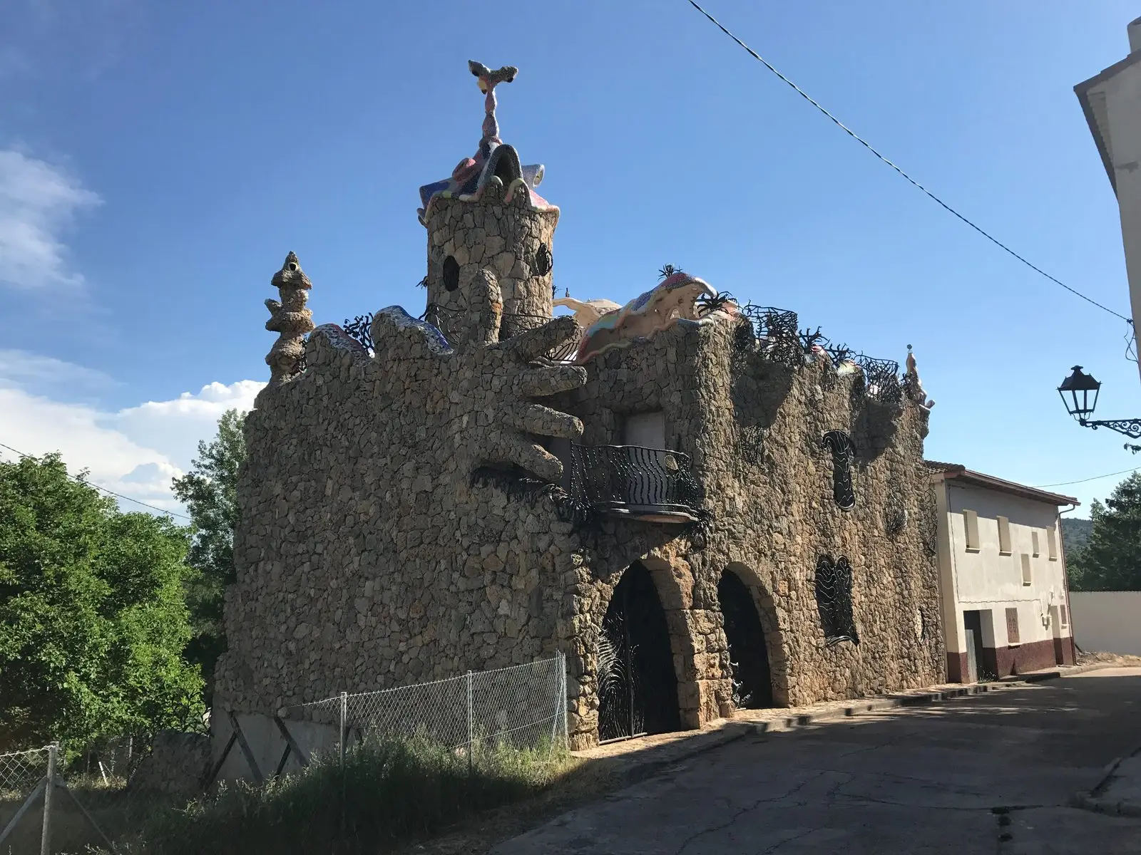
Capricho Rillano: the 'Gaudí house' of Rillo de Gallo
Rillo de GalloPopulation of Canales de Molina, 1842–1970
Canales de Molina reached a peak of 264 inhabitants in 1887 ; in 1970 it had 112, before merging into the municipality of Corduente. This is the history told in the emptying of the Alto Tajo.
Climate in Canales de Molina month by month
2015–2024 averages from Copernicus ERA5 reanalysis for an altitude of approx. 1,146 m. Useful for planning, not a substitute for live forecasts.
Location
● Reference point · ● Villages · ● Places
Location diagram. Detailed map with tracks and names loads on zoom.
Reference villages: Herreria · Rillo de Gallo · Torremocha del Pinar · Pardos.
Open the full map and historical layers →