Village · Guadalajara · 1,062 m
Rillo de Gallo
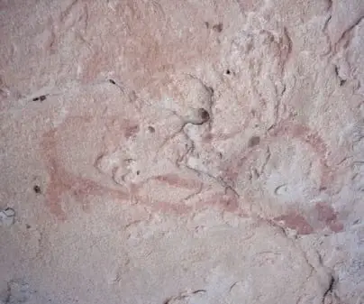
Rillo de Gallo is a village in the Señorío de Molina, around 1,060 metres above sea level and a few kilometres from Molina de Aragón. It preserves the Abrigos del Llano shelters, with Levantine-style rock paintings included in UNESCO World Heritage. Nearby lies a fossil forest around 300 million years old.
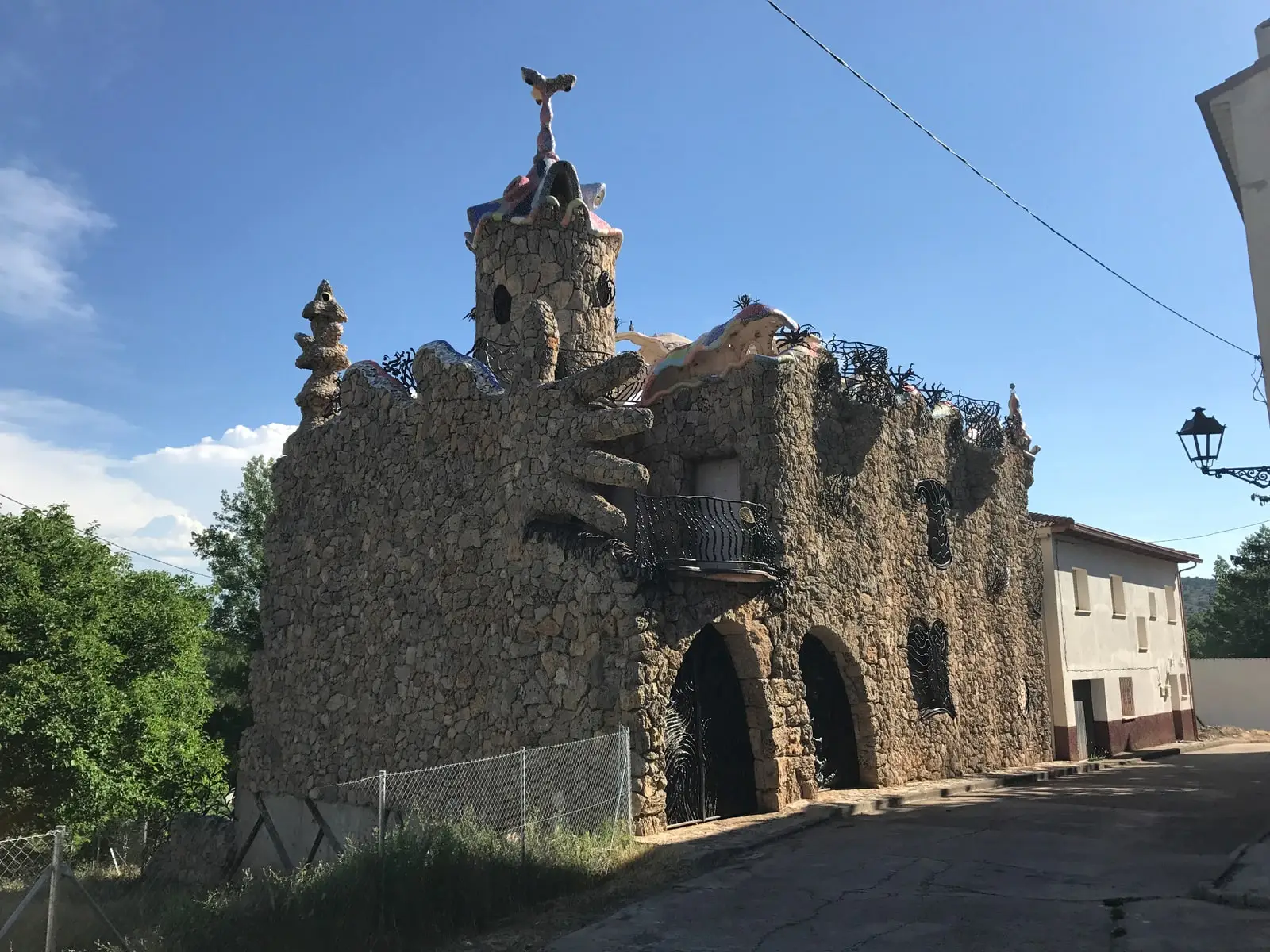
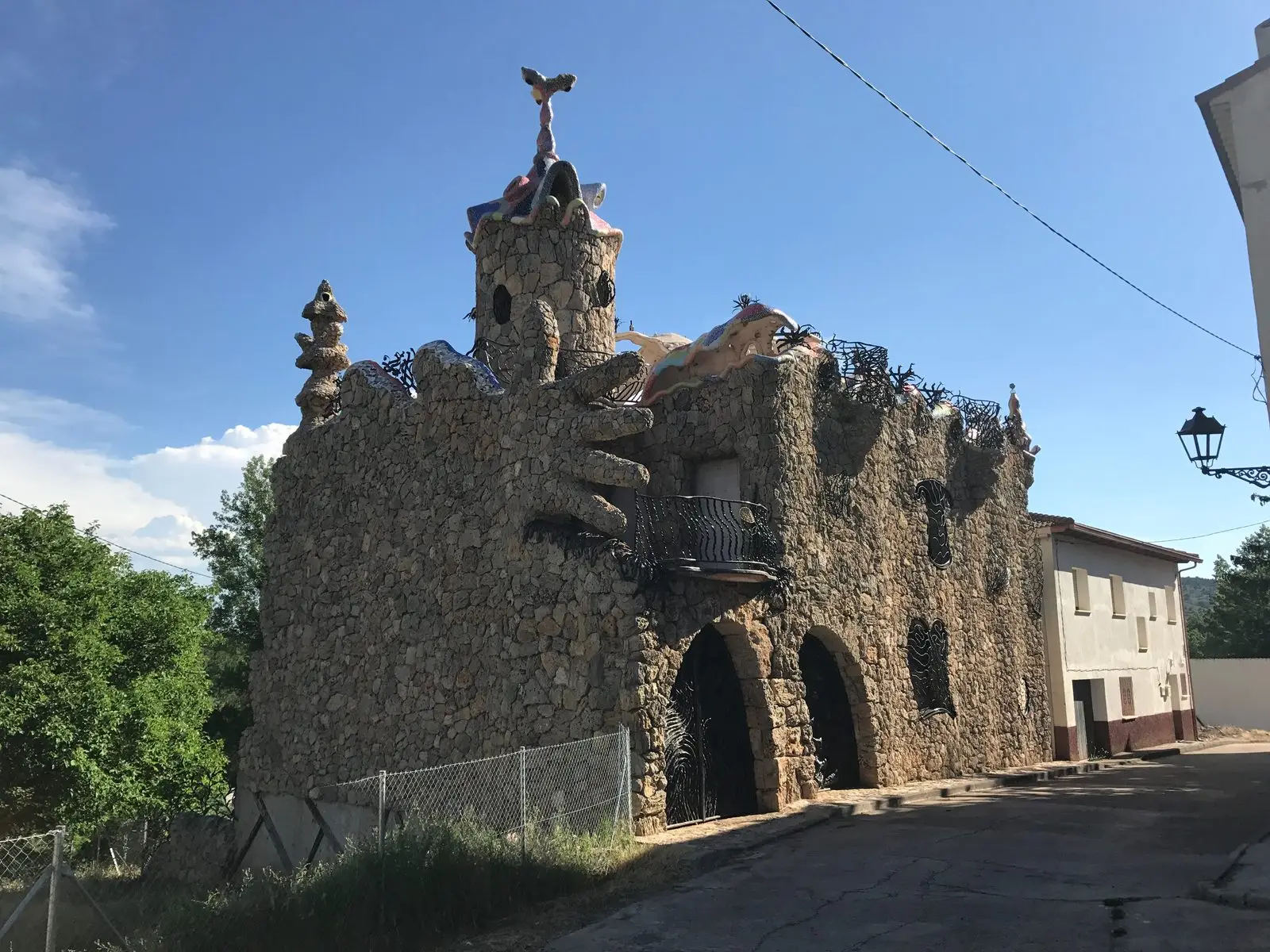
Traces in the village and its surroundings
Which eras you can read here
A single place can preserve traces from different eras. These layers connect what you see with the stories in the atlas.
What to see
Combining your visit
Very close by, Molina de Aragón.
How to organise your stop
The rock art and the fossil forest are sites in the surrounding countryside, not monuments on a town-centre stroll. Check their guides and access conditions before choosing them. The inclusion of a rock shelter in an inventory does not imply that its paintings can be freely visited.
You can combine a stop in the village with Molina, saving the visits to these enclaves for when access conditions are clear. Respect the rocks and do not collect fossils or touch the paintings.
Places in and around Rillo de Gallo
Near Rillo de Gallo
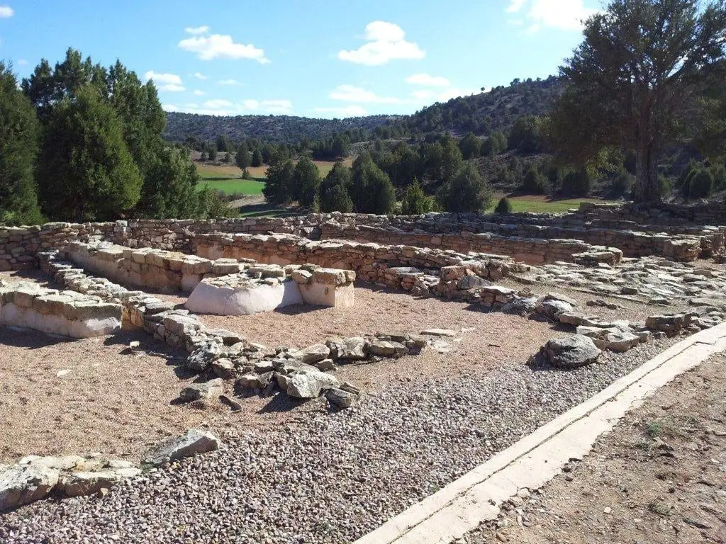
Celtiberian hillfort of El Ceremeño (Herrería)
Herreria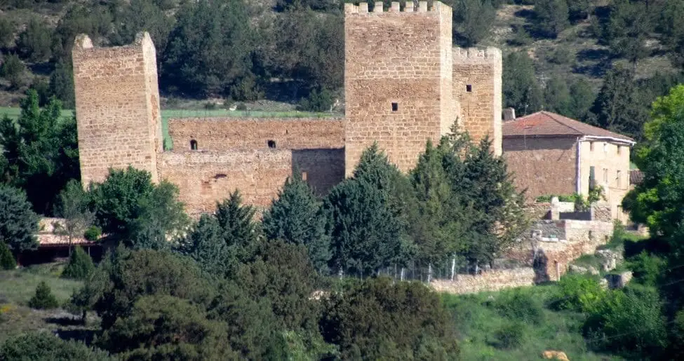
Castle of Santiuste (Corduente): the 15th-century fortified house
Corduente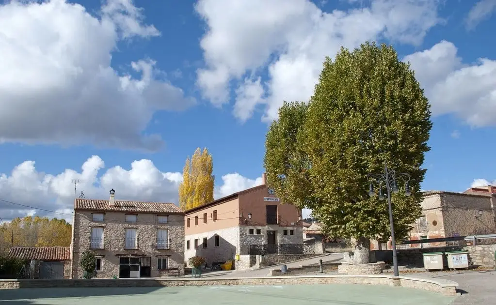
El Ceremeño Museum (Herrería)
Herreria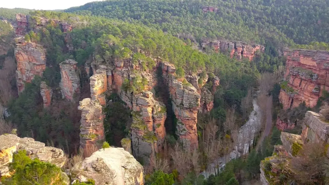
Barranco de la Hoz viewpoint: aerial panorama of the red canyon
Corduente, Ventosa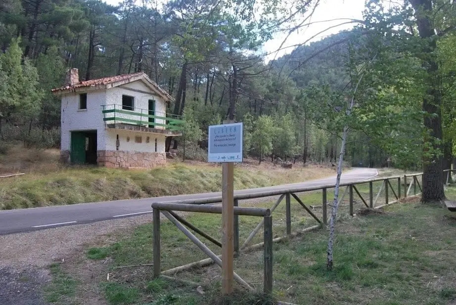
Huelga Merendera recreation area (Barranco de la Hoz)
CorduenteCasa Forestal recreation area (Corduente)
Corduente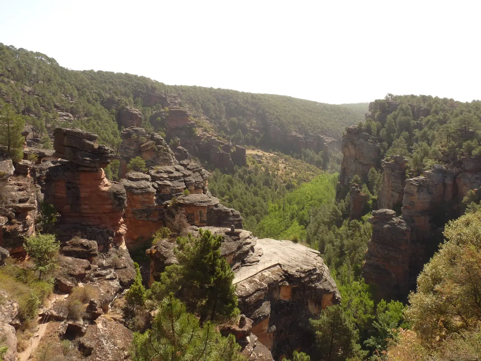
MTB route 5: Barranco de la Virgen de la Hoz (Gallo, Tagus, and Arandilla)
37 km · 8 h · Circular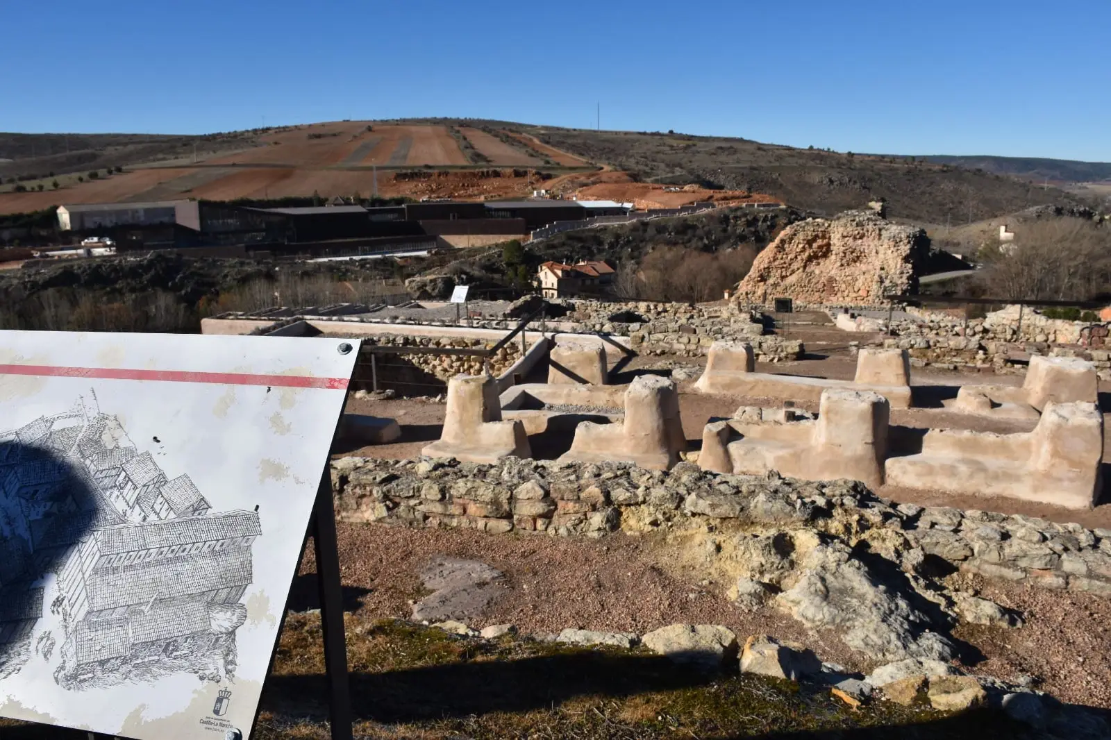
Prao de los Judíos (Molina de Aragón): the Jewish quarter beneath the castle
Molina de AragónPopulation of Rillo de Gallo, 1842–2021
Rillo de Gallo reached a peak of 324 inhabitants in 1960 . In the 2021 census there were 48 , a decrease of 85%. This is the history told in the emptying of the Alto Tajo.
Climate in Rillo de Gallo month by month
2015–2024 averages from Copernicus ERA5 reanalysis for an altitude of approx. 1,062 m. Useful for planning, not a substitute for live forecasts.
Location
● Reference point · ● Villages · ● Places
Location diagram. Detailed map with tracks and names loads on zoom.
Reference villages: Herreria · Corduente · Molina de Aragón · Canales de Molina.
Open the full map and historical layers →