Recreation area · Corduente
Huelga Merendera recreation area (Barranco de la Hoz)
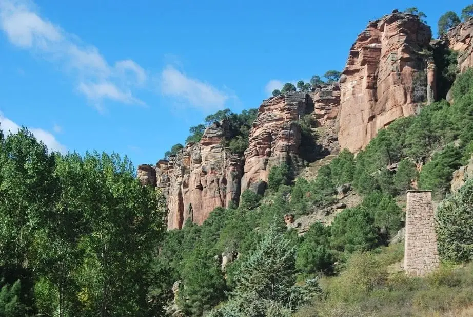
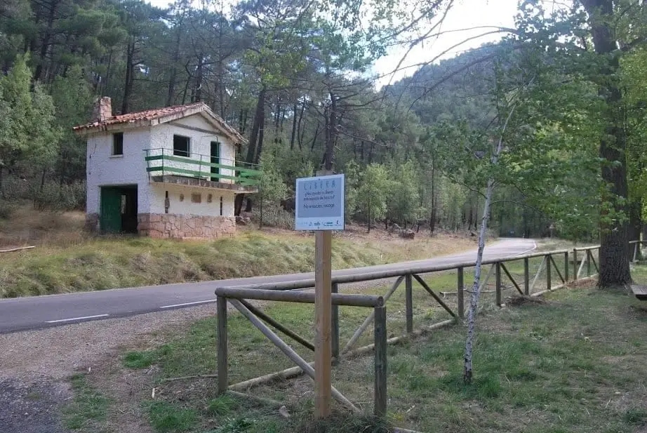
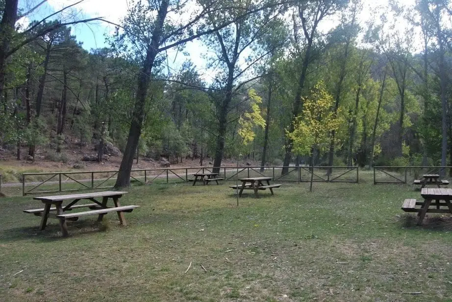
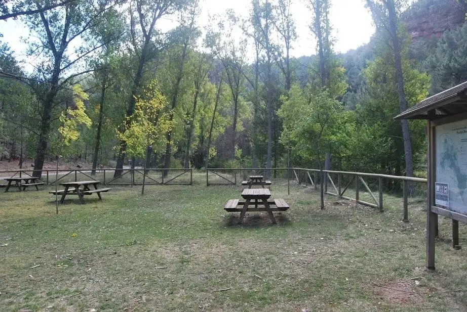
Huelga Merendera is a recreation area in a meadow beside the rocky bed of the Gallo River inside Barranco de la Hoz, with stone tables and benches, fencing, and spacious parking. Surrounded by fractured red sandstone masses, one of the Park's most scenic picnic spots.
- Municipality
- Corduente
- Province
- Guadalajara
- Barranco de la Hoz
- Stone tables
- Spacious parking
Dining beneath the towering red cliffs of Barranco de la Hoz is unmatched. Look up: birds of prey nest in rock fissures.
Good conduct
The Natural Park provides no rubbish collection service: carry all waste back to village bins. Lighting fires is permitted solely in authorised facilities and outside high-risk fire seasons; check current regulations.
Photo: El Observario
Location
● Reference point · ● Villages · ● Places
Location diagram. Detailed map with tracks and names loads on zoom.
Approximate position: village centre.
Reference villages: Corduente · Ventosa · Rillo de Gallo · Valhermoso.
Open the full map and historical layers →More recreation and picnic areas nearby
View all →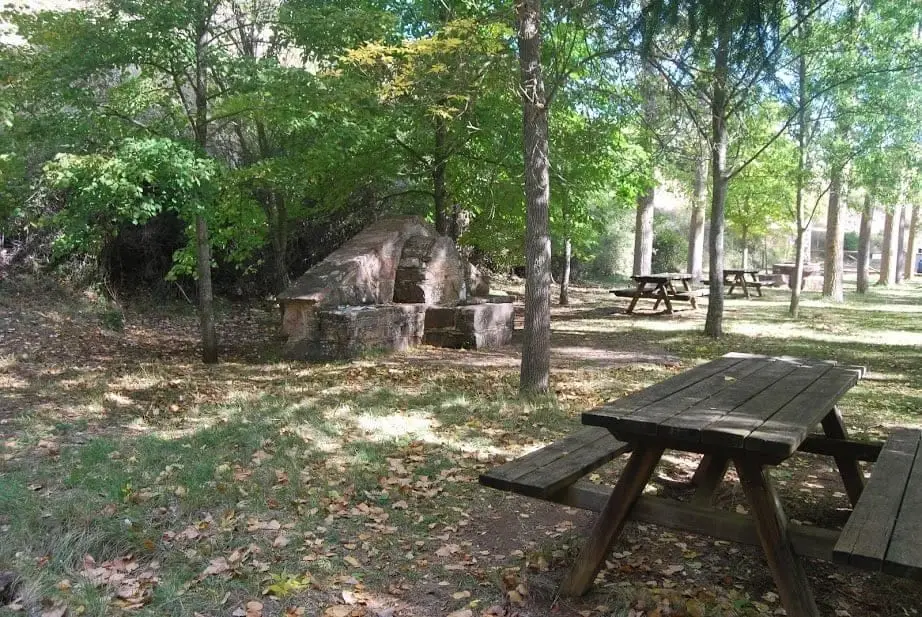
Nearby routes
All routes →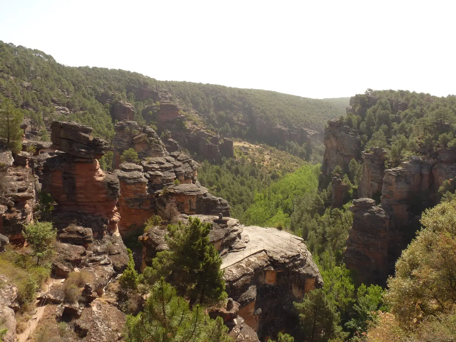
MTB route 5: Barranco de la Virgen de la Hoz (Gallo, Tagus, and Arandilla)
37 km · 8 h · Circular
Trail 8: El Rodenal de Corduente
9 km · 3 h · Circular