Village · Guadalajara · 1,289 m
Torremocha del Pinar
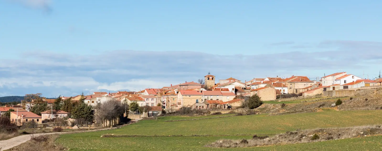
Torremocha del Pinar is a village in the Señorío de Molina at around 1,290 metres. Its territory contains the Prados Húmedos Micro-reserve, and Pottoka horses graze here as part of a rewilding initiative.
Lands and landscapes
From here, follow the memory of the territory
These readings connect Torremocha del Pinar with the history, work, and villages around it.
What to see
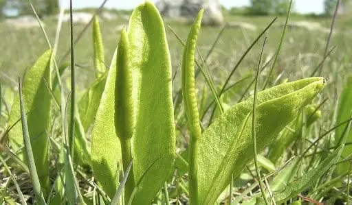
The Microrreserva de los Prados Húmedos: walk only on marked paths.
Pottoka horses
In the surrounding pastures graze Pottoka horses, a hardy Basque mountain breed, within a rewilding initiative restoring large herbivores in the uplands. Observe them from a distance and do not feed them.
Places in and around Torremocha del Pinar
Near Torremocha del Pinar
El Turmielo (Aragoncillo): watchtower and shelter of early Molina history
AragoncilloEl Palomar and Cerrada de los Santos (Aragoncillo): Celtiberian settlement and cemetery
AragoncilloHermitage of the Virgen de Montesinos (Cobeta)
Cobeta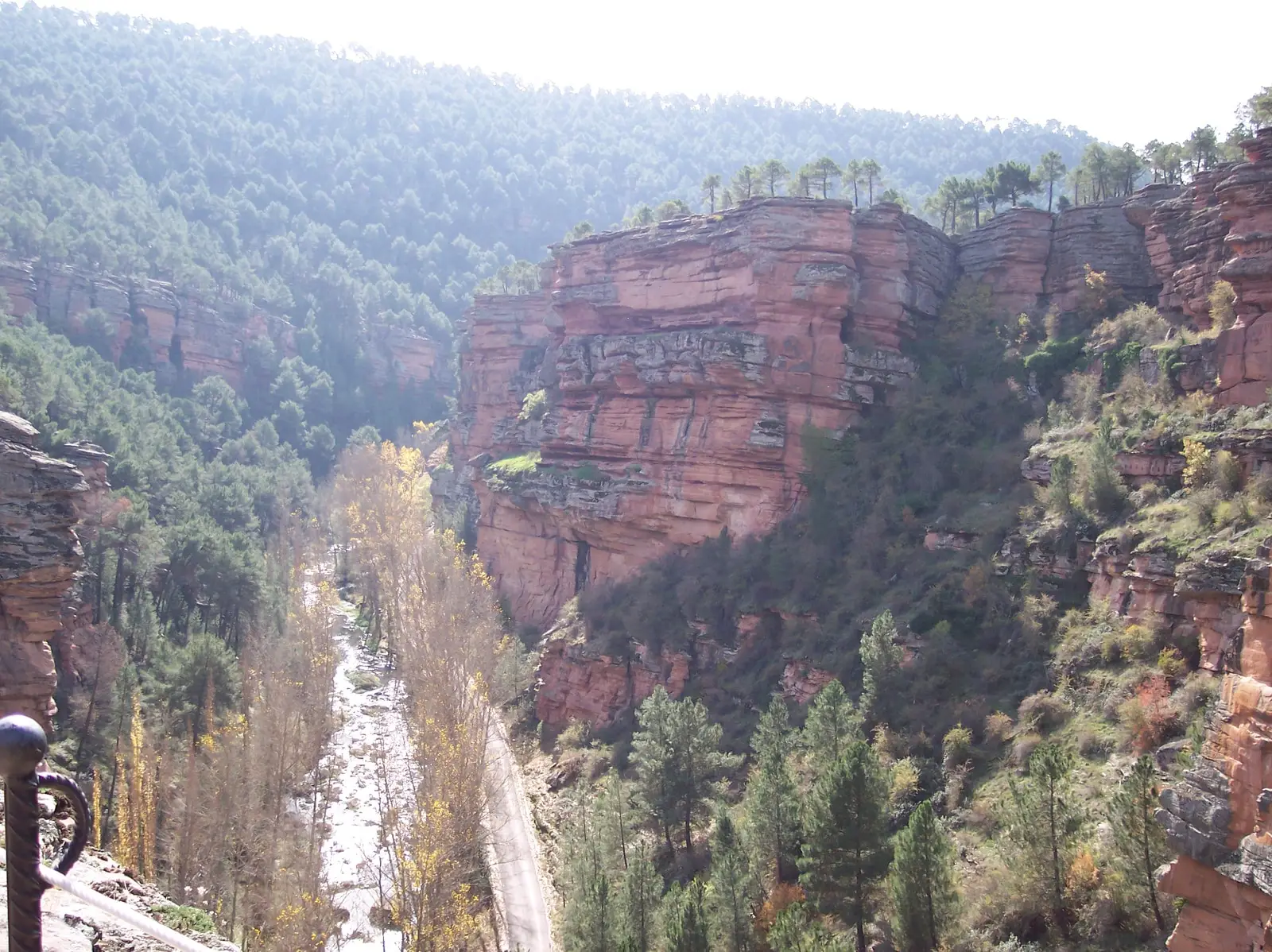
Trail 8: El Rodenal de Corduente
9 km · 3 h · Circular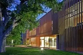
Dehesa de Corduente Visitor Centre
Corduente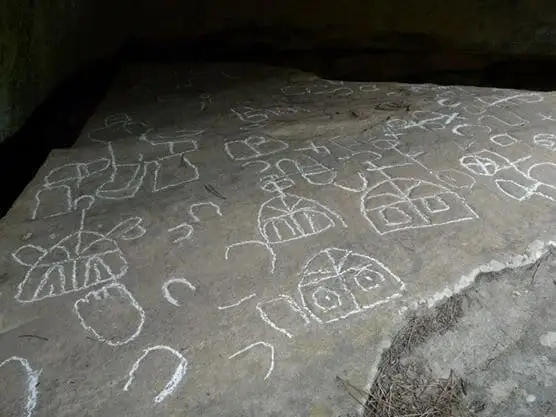
Peña Escrita (Canales de Molina): rock engravings with human figures
Canales de Molina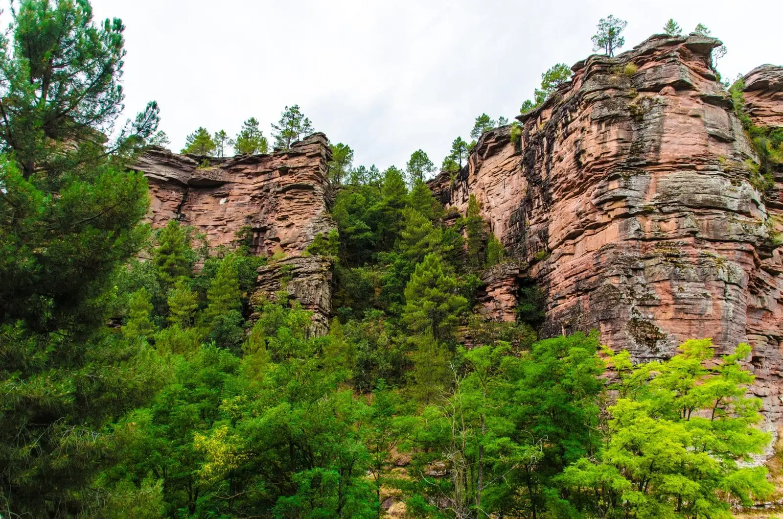
Barranco del Arandilla (Cobeta): a singular rodeno sandstone canyon
Cobeta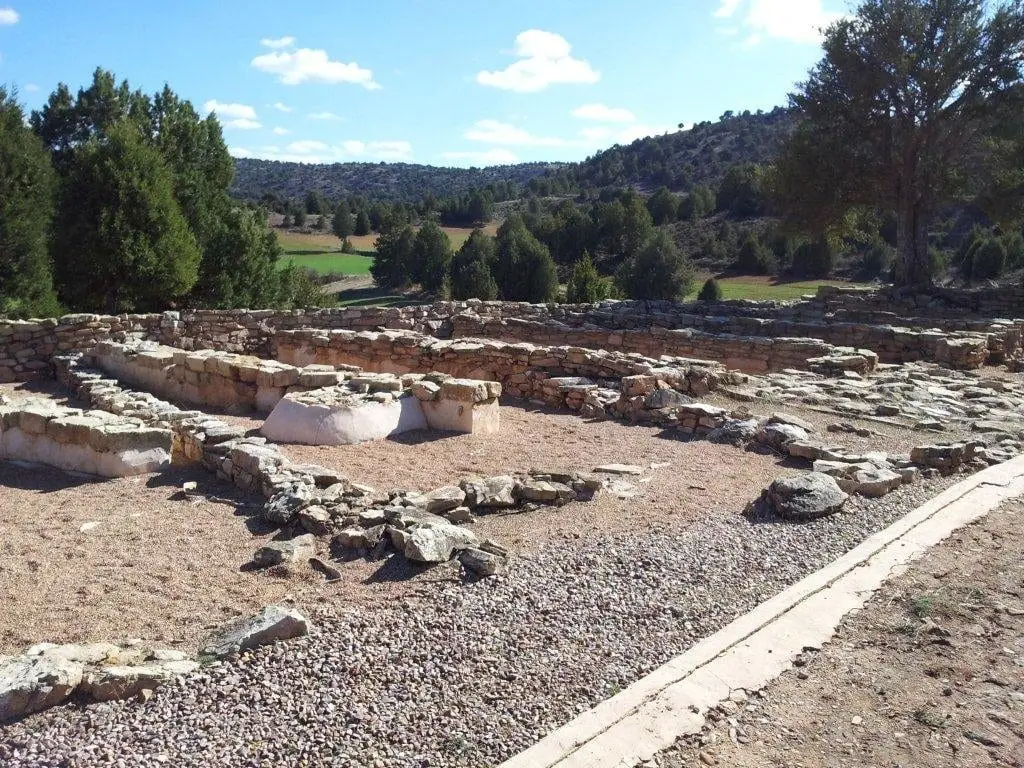
Celtiberian hillfort of El Ceremeño (Herrería)
HerreriaPopulation of Torremocha del Pinar, 1842–2021
Torremocha del Pinar reached a peak of 447 inhabitants in 1940 . In the 2021 census there were 37 , a decrease of 92%. This is the history told in the emptying of the Alto Tajo.
Climate in Torremocha del Pinar month by month
2015–2024 averages from Copernicus ERA5 reanalysis for an altitude of approx. 1,289 m. Useful for planning, not a substitute for live forecasts.
Location
● Reference point · ● Villages · ● Places
Location diagram. Detailed map with tracks and names loads on zoom.
Reference villages: Aragoncillo · Canales de Molina · Torete · Corduente.
Open the full map and historical layers →