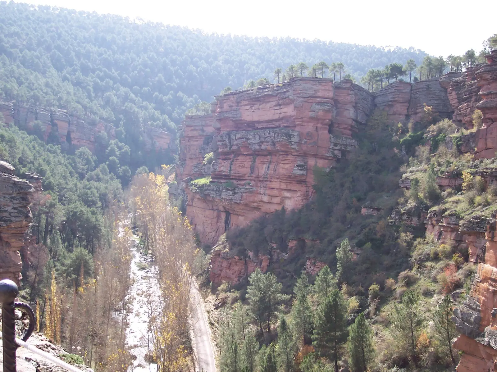
Sanctuary of the Virgen de la Hoz: the hermitage beneath red cliffs
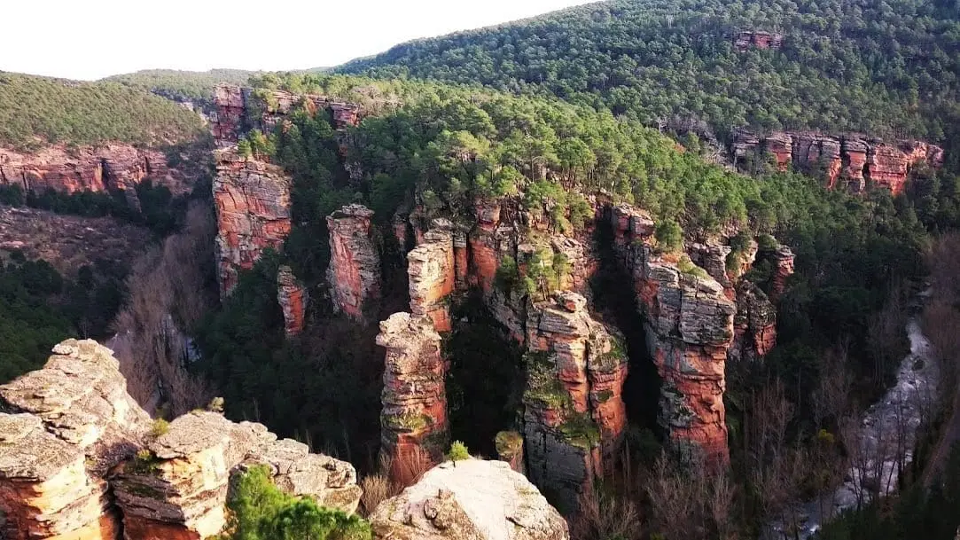
The Sanctuary of the Virgen de la Hoz sits in the heart of Barranco de la Hoz between Corduente and Torete, nestled under red sandstone cliffs beside the Gallo River. Legend relates that the image was discovered in 1129 by a shepherd from Ventosa. The church is austere, with an ogival vault and altarpiece, where the path to the lookouts begins.
This place across time
Which eras you can read here
A single place can preserve traces from different eras. These layers connect what you see with the stories in the atlas.
- Municipality
- Corduente
- Province
- Guadalajara
- Altitude
- 1,081 m
- 1129 legend
- Ogival vault
- Starting point to lookouts
- Guest house
A sanctuary sheltered beneath the cliff
Crossing the threshold and ascending a few steps leads into an austere sanctuary, vaulted with a pointed stone arch and housing the altarpiece of the Virgen de la Hoz. Outside, the small riverside square is dominated by named rock spires like La Rueca and La Cobertera. Many hikers pass by, while others pause to pray in silence.
The legend
According to regional tradition, the sacred image was discovered in 1129 by a young shepherd from Ventosa.
Starting point
From here departs the stone-stepped footpath climbing up to the three lookouts of Barranco de la Hoz. Read more detailed information on the gorge in its geosite entry.
Location
● Reference point · ● Villages · ● Places
Location diagram. Detailed map with tracks and names loads on zoom.
Reference villages: Ventosa · Corduente · Torete · Valhermoso.
Open the full map and historical layers →More heritage: chapels, bridges and saltworks nearby
View all →
Nearby routes
All routes →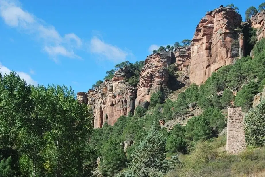
Geotrail 5: from Barranco de la Hoz to Cuevas Labradas
15 km · 4 h · Linear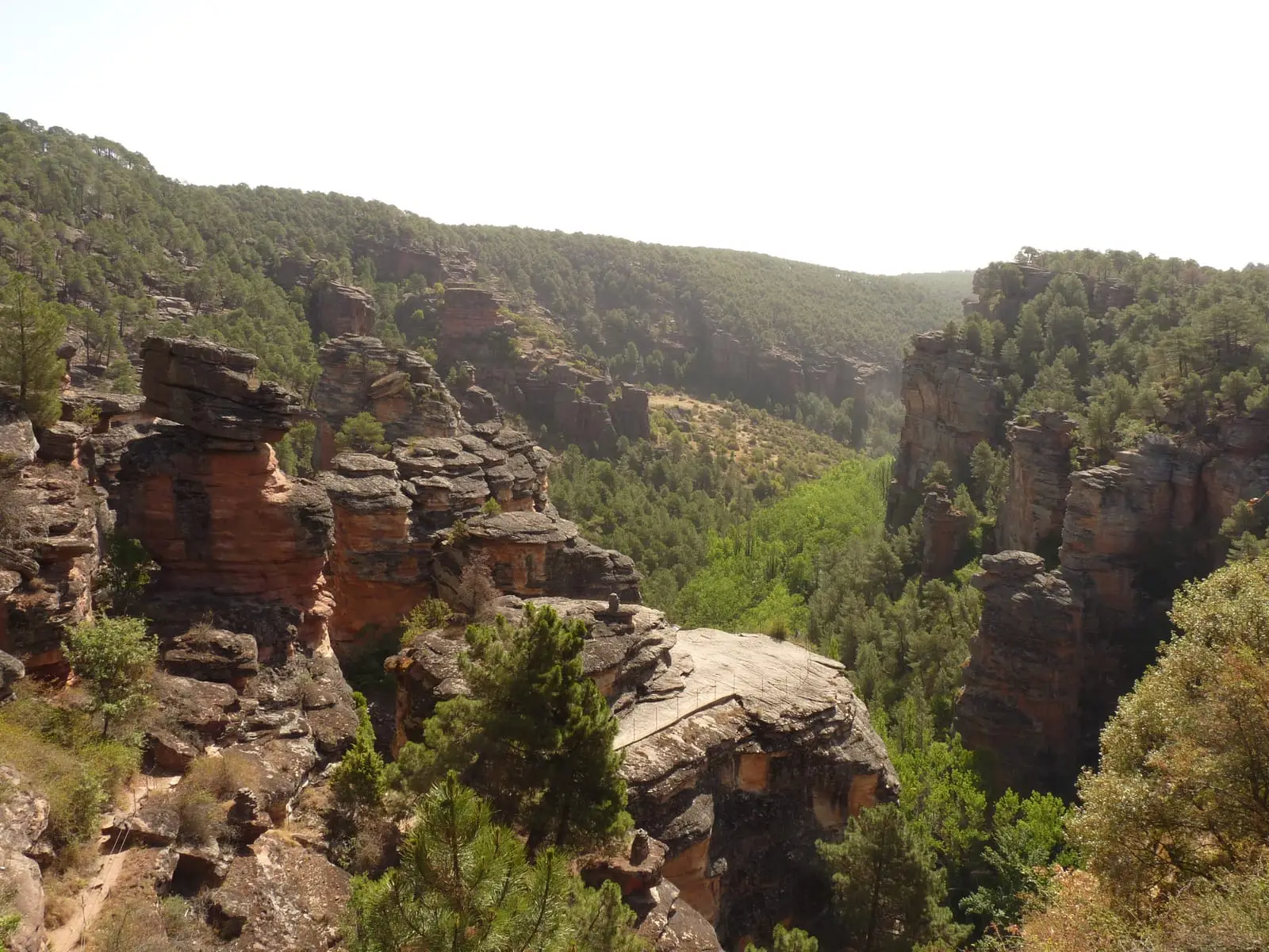
MTB route 5: Barranco de la Virgen de la Hoz (Gallo, Tagus, and Arandilla)
37 km · 8 h · Circular