Bike route · Ventosa, Cobeta, Corduente, Cuevas Labradas, Torete
Ruta BTT 5: MTB route 5: Barranco de la Virgen de la Hoz (Gallo, Tagus, and Arandilla)
A circular route of around 37 km through the Gallo, Tajo and Arandilla canyons, for bike or car, with viewpoint branches. The Montesinos gorge variant (10 km, better on foot or by bike) and the descent to Puente de San Pedro (4.5 km one way) bring the total to around 56 km. There are springs in Torete, Corduente and at the sanctuary. It was formerly RG PNAT 1.
- Code
- Ruta BTT 5
- Distance
- 37 km
- Duration
- 8 h
- Trail type
- Circular
- Difficulty
- Moderate
- Altitude
- 1,060 m
Walking duration without transfers or stops. Difficulty rated according to the official source; verify its conditions and notices. “Easy” does not imply wheelchair or stroller accessibility.
- Ruta BTT 5
- Circular, 37 km
- Three canyons
- Montesinos branch
Three canyons
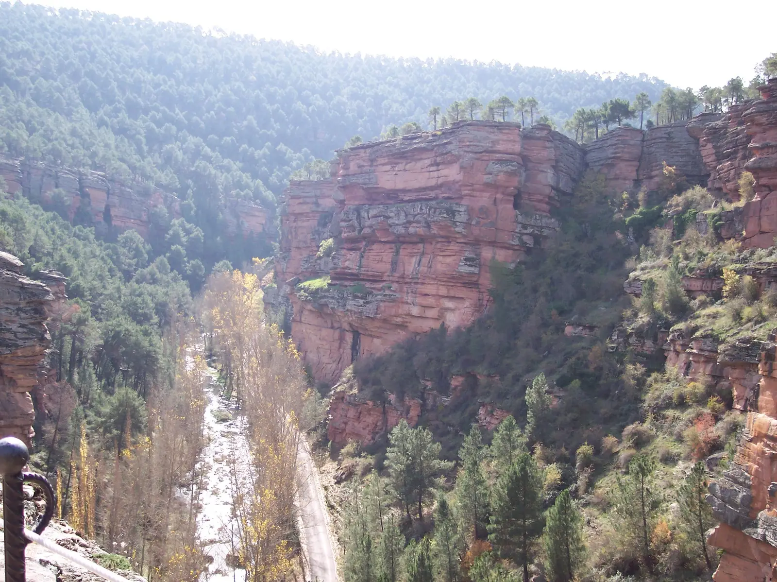
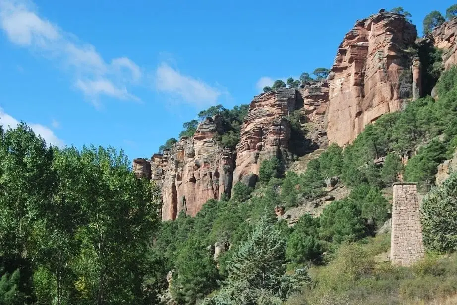
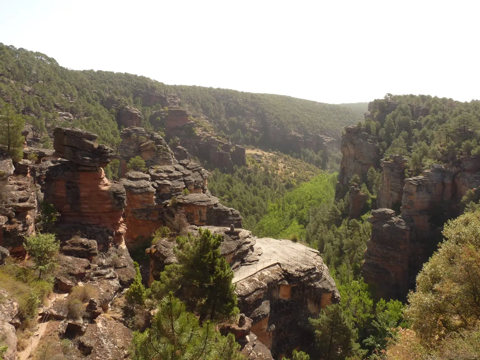
A classic route of the Natural Park through canyons carved into sandstone in the upper Gallo and Arandilla, and into limestone in the lower Gallo and Tagus. It links Barranco de la Hoz, Puente de San Pedro, and the vicinity of Cobeta, featuring riparian forests and slopes of gall oak, Pyrenean oak, maritime pine, and black pine.
Branch trails
- Barranco de la Virgen de Montesinos, 10 km: through Barranco del Arandilla to the hermitage. Recommended on foot or by bicycle.
- Descent to Puente de San Pedro, 4.5 km one way.
Birds and water
Sparrowhawks, goshawks, booted eagles, and short-toed snake eagles; on cliffs, Egyptian vultures, griffon vultures, golden eagles, and peregrine falcons; along the river, dippers and wagtails. Fountains: Fuente del Escabeche near Puente de San Pedro (seasonal), Torete, Corduente, and the sanctuary of Virgen de la Hoz.
By bicycle
Carry a helmet, water, food, and tools: many tracks in the Natural Park are long, lacking fountains or mobile reception. Ride slowly, yield to walkers, and remain on authorised tracks.
Before you set out
Carry water, mountain footwear, and download the GPS track in advance: mobile reception is absent in many areas. Check the forecast on Today in the Alto Tajo and the official trail sheet for notices and closures, and respect seasonal restrictions during raptor breeding periods.
Official route · Parque Natural del Alto Tajo (Junta de Castilla-La Mancha). Description, track and notices on the official guide. Before setting out, verify there whether changes or closures apply.
Location
● Reference point · ● Villages · ● Places · ━ Simplified official route
Location diagram. Detailed map with tracks and names loads on zoom.
Reference villages: Corduente · Ventosa · Rillo de Gallo · Torete.
Open the full map and historical layers →