Village · Guadalajara · 1,060 m
Corduente
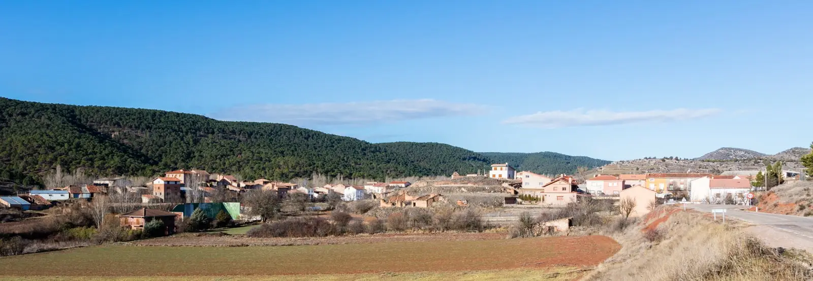
Corduente is a village in the Señorío de Molina surrounded by pine woods and cereal fields, and the entrance to the Barranco de la Hoz. Its territory includes the sanctuary of the Virgen de la Hoz, the castle of Santiuste, and the Dehesa de Corduente Interpretation Centre, the main visitor facility in the Natural Park.
Rivers and basins
The thread of water from Corduente
Follow these watercourses towards their confluences, villages, and basin history.
Traces in the village and its surroundings
Which eras you can read here
A single place can preserve traces from different eras. These layers connect what you see with the stories in the atlas.
Gateway to the red canyon
Corduente lies in the Señorío de Molina, among pine woods and cereal fields, minutes from the Barranco de la Hoz, one of the recognizable landscapes in the Alto Tajo. It is often the first stop for visitors arriving from Molina de Aragón.
What to see
- Barranco de la Hoz and the santuario de la Virgen de la Hoz, with its viewpoint.
- Centro de Interpretación Dehesa de Corduente, the largest in the Park: a practical starting point.
- Castillo de Santiuste, a fortress and manor house one kilometre from the village.
Routes
Sendero 8, El Rodenal, Ruta BTT 5, Barranco de la Virgen de la Hoz, and Georuta 5 towards the rock folds of Cuevas Labradas.
Planning your visit
Use the visitor centre and the Barranco de la Hoz as the core of the day. If visiting the clifftop viewpoint, allow sufficient time for the ascent.
Before travelling
Main landmarks are spread across the territory rather than within a single village stroll. Check the visitor centre opening hours and use designated parking areas.
Combining visits
Continue with the Barranco de la Hoz. Check its guide to see if it fits within the same trip.
Places in and around Corduente
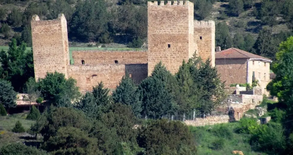
Castle of Santiuste (Corduente): the 15th-century fortified house
Corduente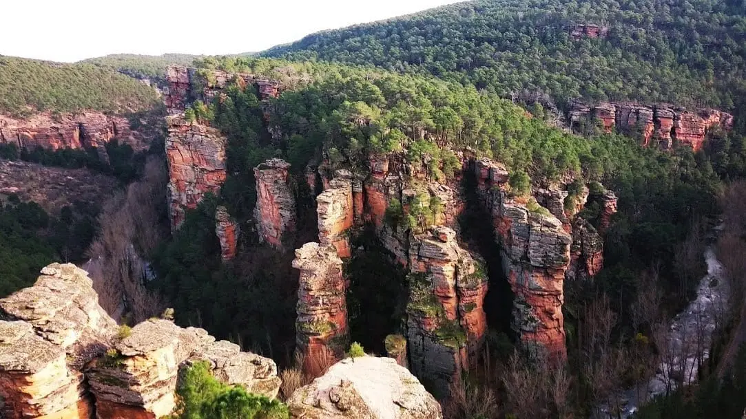
Sanctuary of the Virgen de la Hoz: the hermitage beneath red cliffs
Corduente, Ventosa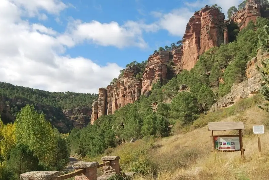
Barranco de la Hoz: the red canyon of the Gallo River
Corduente, Ventosa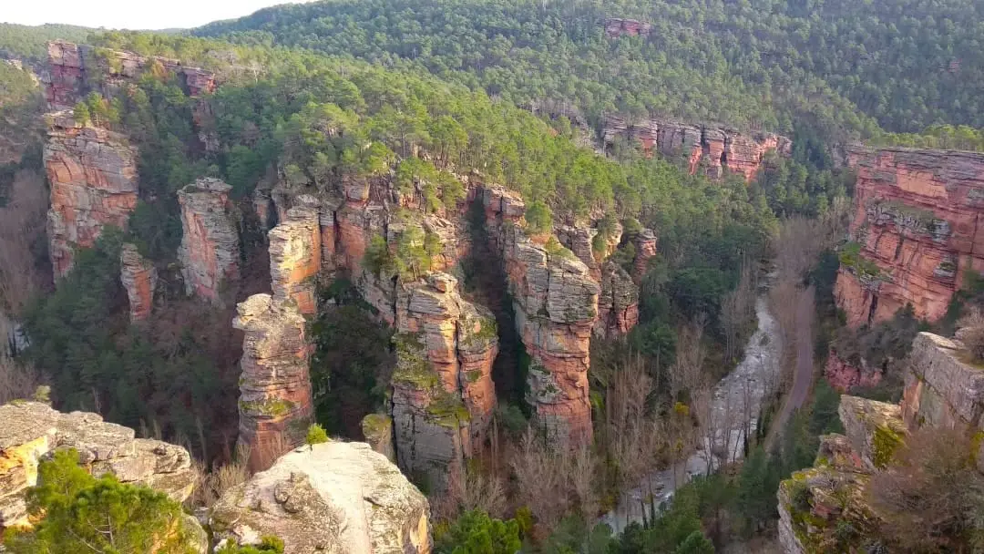
Barranco de la Hoz viewpoint: aerial panorama of the red canyon
Corduente, Ventosa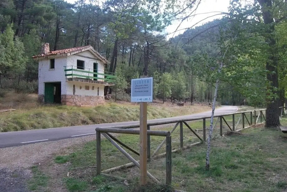
Huelga Merendera recreation area (Barranco de la Hoz)
Corduente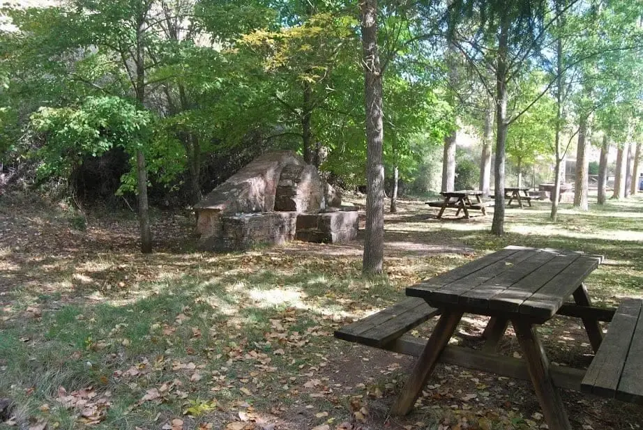
Barranco de la Hoz recreation area
Corduente, Ventosa
Dehesa de Corduente Visitor Centre
CorduenteCasa Forestal recreation area (Corduente)
CorduenteEl Huso: the stone monolith of Barranco de la Hoz
CorduenteRoutes linked to Corduente
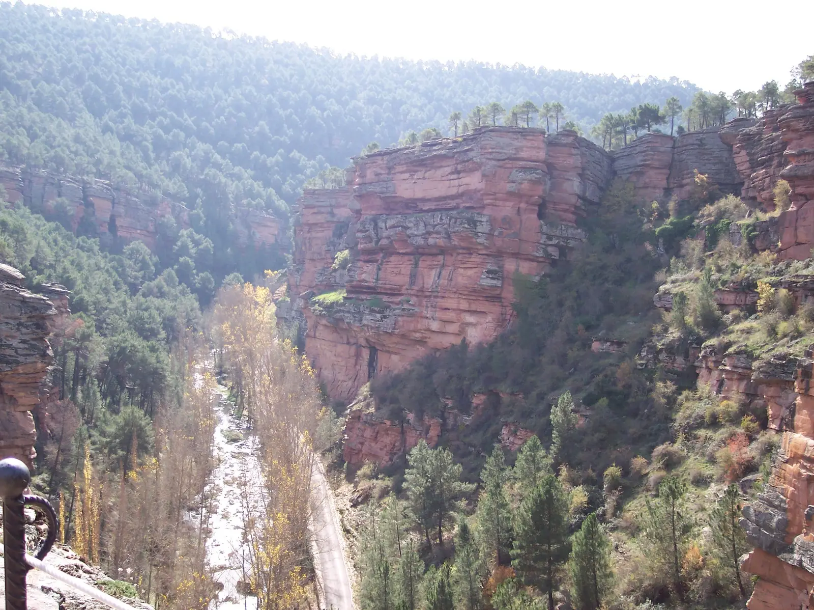
Trail 8: El Rodenal de Corduente
9 km · 3 h · Circular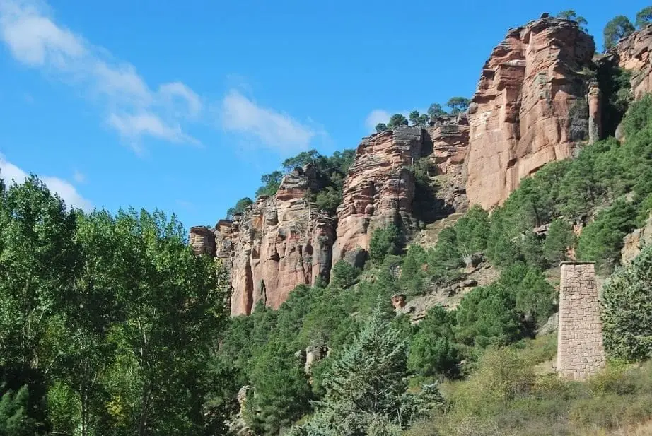
Geotrail 5: from Barranco de la Hoz to Cuevas Labradas
15 km · 4 h · Linear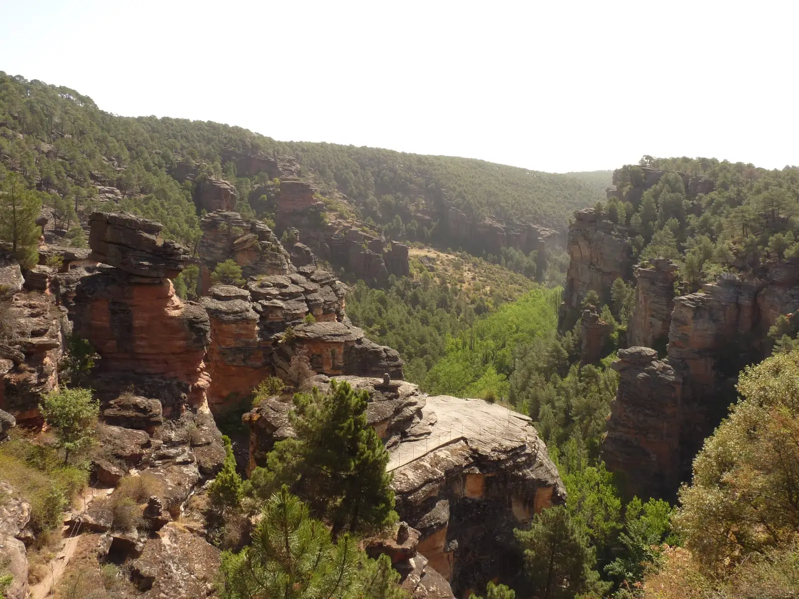
MTB route 5: Barranco de la Virgen de la Hoz (Gallo, Tagus, and Arandilla)
37 km · 8 h · CircularTrail 9: Puntal de la Cabeza (Lebrancón)
8 km · 2.5 h · CircularPopulation of Corduente, 1842–2021
Corduente reached a peak of 710 inhabitants in 1981 . In the 2021 census there were 343 , a decrease of 52%. This is the history told in the emptying of the Alto Tajo.
Climate in Corduente month by month
2015–2024 averages from Copernicus ERA5 reanalysis for an altitude of approx. 1,060 m. Useful for planning, not a substitute for live forecasts.
Location
● Reference point · ● Villages · ● Places
Location diagram. Detailed map with tracks and names loads on zoom.
Reference villages: Ventosa · Rillo de Gallo · Valhermoso · Torete.
Open the full map and historical layers →