Village · Guadalajara · 1,407 m
Alcoroches
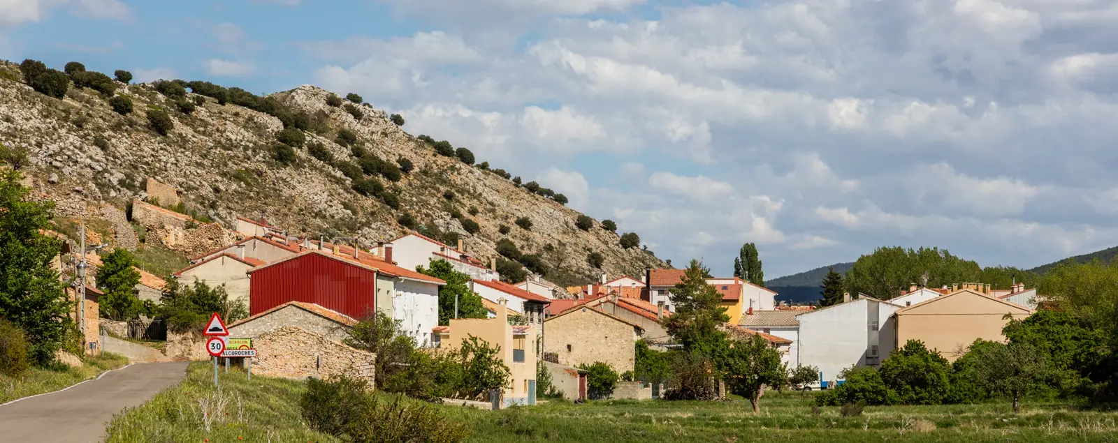
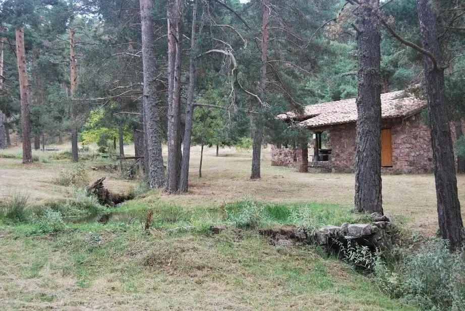
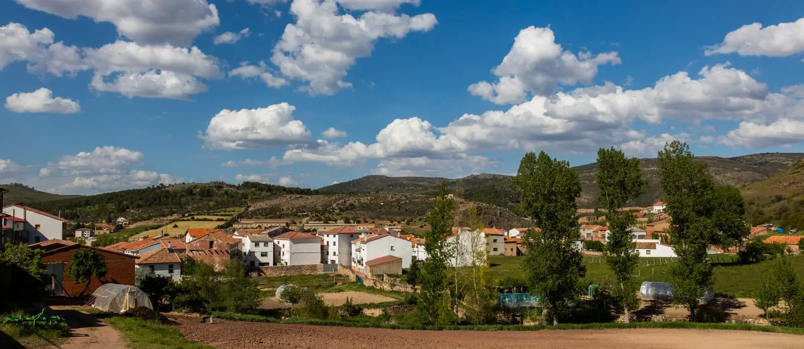
Alcoroches is a mountain village at around 1,400 metres in the southeast of the Alto Tajo, very close to Checa. Its main landmark is El Angosto, one of the best-equipped recreation areas in the Park, in a pine forest crossed by streams where red deer and fallow deer are frequently seen, and the trailhead for routes rising above 1,700 metres.
Lands and landscapes
From here, follow the memory of the territory
These readings connect Alcoroches with the history, work, and villages around it.
Traces in the village and its surroundings
Which eras you can read here
A single place can preserve traces from different eras. These layers connect what you see with the stories in the atlas.
What to see in Alcoroches
- Área recreativa El Angosto, with a shelter, fountains, children’s play area and wildlife.
- Refugio del Angosto.
Routes
The long-distance Ruta BTT 4, La Sierra, circling Sierra Molina between Checa and Alcoroches.
Nearby
Checa, 6 km away, and the Fuente de los Vaqueros on the way.
Places in and around Alcoroches
Routes linked to Alcoroches
Near Alcoroches
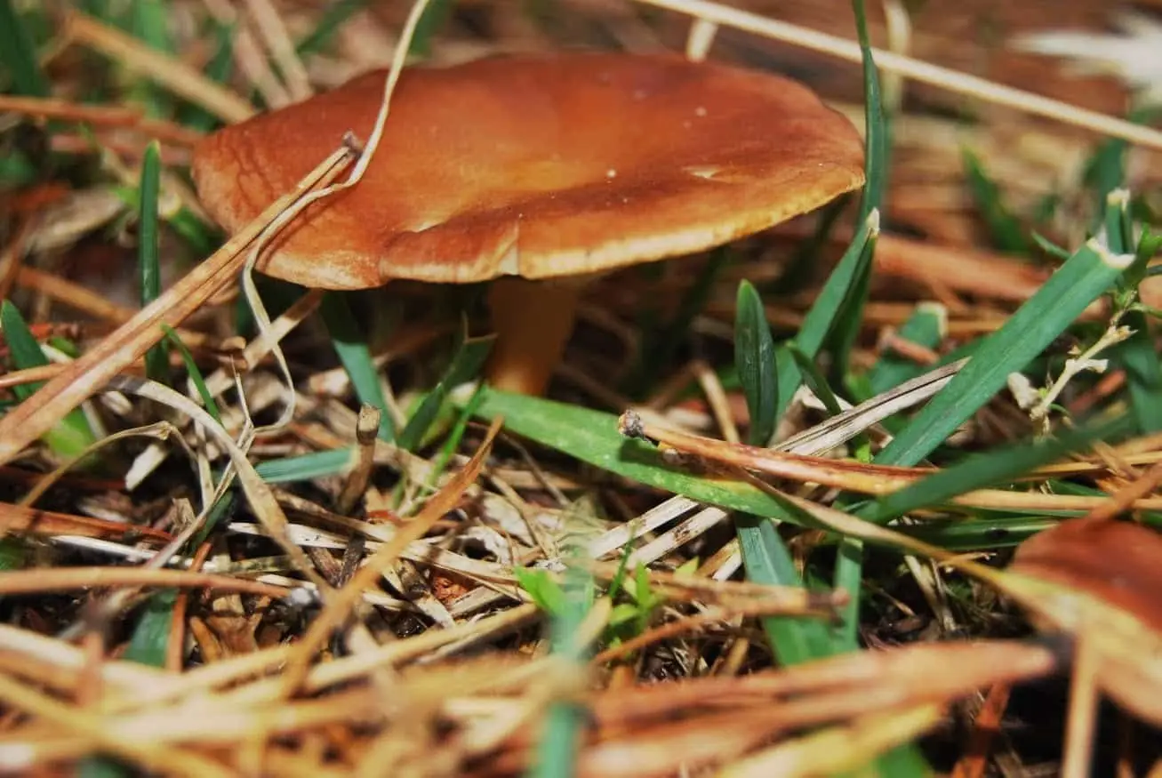
La Sierra mushroom-gathering controlled zone
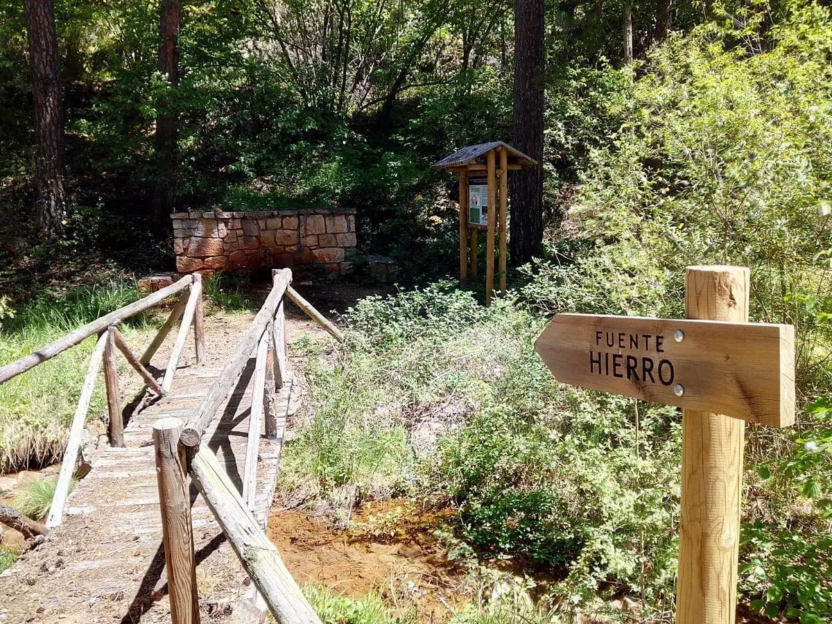
Fuente de los Vaqueros recreation area (Checa)
ChecaTrail 16 (PR-GU 22): La Espineda and Peña Alta (Checa)
5.7 km · 2.9 h · Circular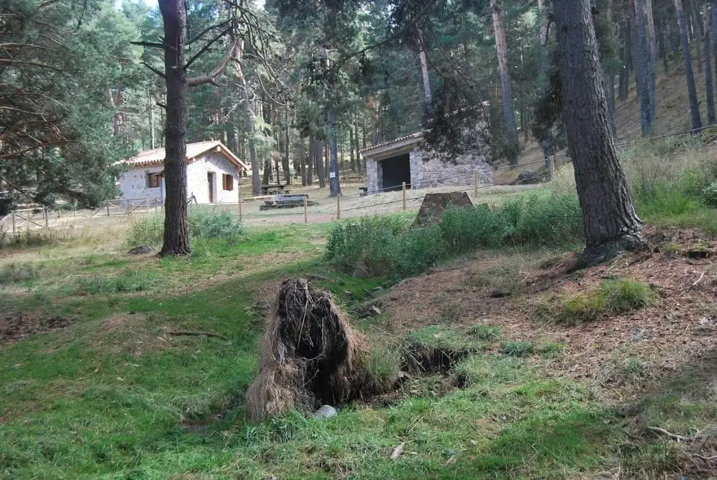
Fuente del Endrino Alto recreation area (Alustante)
AlustanteVariscan folds between Checa and Orea: the oldest rock wrinkles
Checa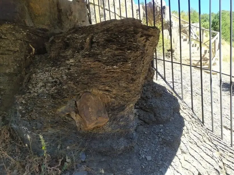
Checa Dropstone: a boulder dropped from an iceberg 440 million years ago
Checa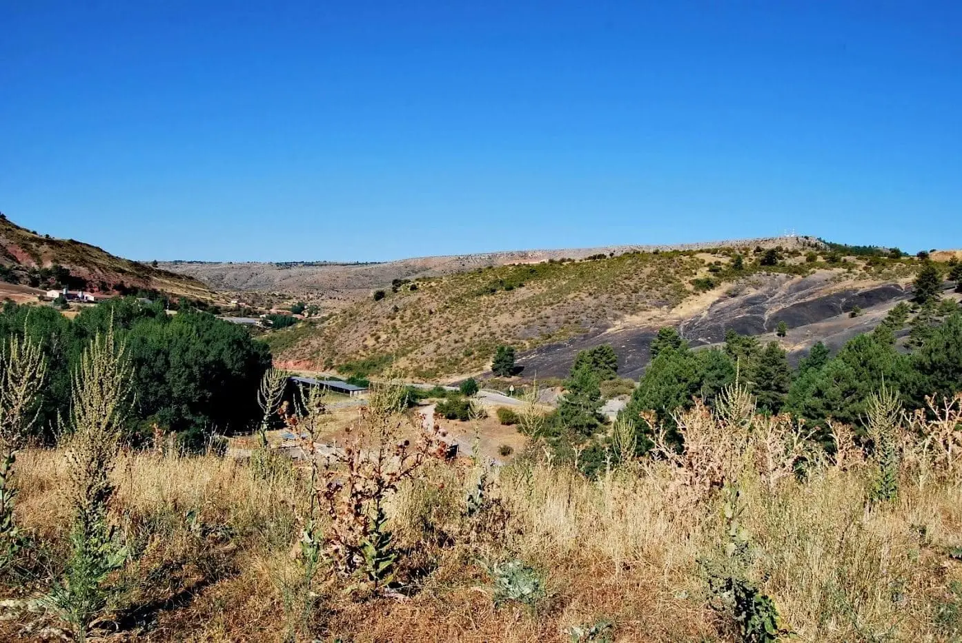
Geotrail 8: from Checa to Chequilla
16 km · 4 h · Linear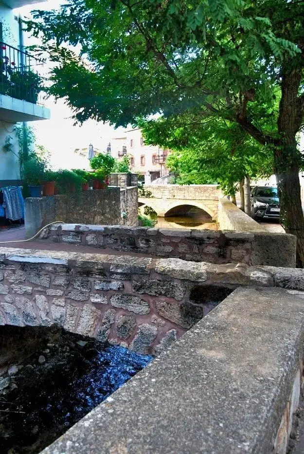
Urban ensemble of Checa: white houses, bridges, and the Genitoris River
ChecaPopulation of Alcoroches, 1842–2021
Alcoroches reached a peak of 744 inhabitants in 1940 . In the 2021 census there were 129 , a decrease of 83%. This is the history told in the emptying of the Alto Tajo.
Climate in Alcoroches month by month
2015–2024 averages from Copernicus ERA5 reanalysis for an altitude of approx. 1,407 m. Useful for planning, not a substitute for live forecasts.
Location
● Reference point · ● Villages · ● Places
Location diagram. Detailed map with tracks and names loads on zoom.
Reference villages: Piqueras · Checa · Traíd · Chequilla.
Open the full map and historical layers →