Village · Guadalajara · 1,370 m
Piqueras
Piqueras is one of the highest villages in the Señorío, at about 1,370 metres in the Sierra de Molina, between Adobes, Alcoroches, and Alustante. In the 19th century it maintained notable holm oak and oak woodlands. The Camino de los Tratantes, an old fair route between Molina, Albarracín, and Teruel, passes here.

High in the sierra
Piqueras stands at about 1,370 metres, in the Sierra de Molina, among the highest villages in the Señorío. In the mid-19th century it had around 240 inhabitants and a territory described as having «good holm oak and oak woods».
The Camino de los Tratantes
Through Piqueras runs the Camino de los Tratantes, the trail used by livestock dealers travelling between fairs in Molina, Albarracín, and Teruel. Today it is walked as a trail from Molina to Motos via Otilla, Piqueras, and Alustante. The history of these trails is explored in tracks and drove roads.
Nearby
Adobes and Alcoroches, about four kilometres away, with the Roble de la Sexma; Traíd and Alustante.
Routes linked to Piqueras
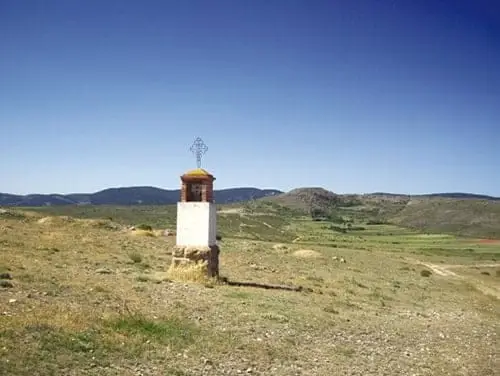
Near Piqueras
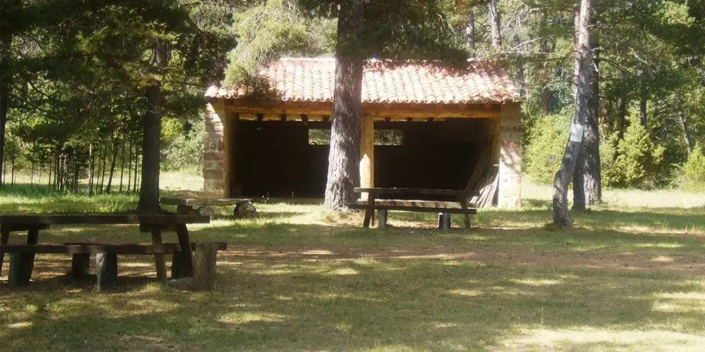
El Ojillo recreation area (Adobes)
Adobes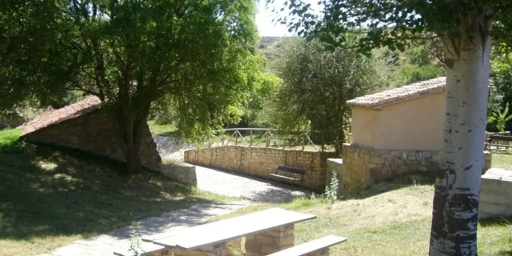
El Espinar recreation area (Adobes)
Adobes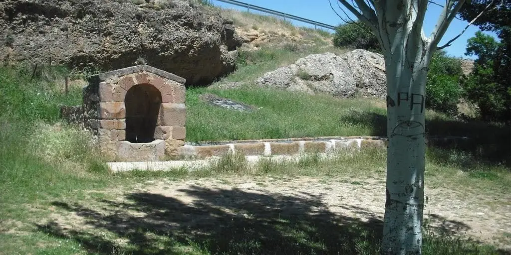
El Cañuelo recreation area (Adobes)
Adobes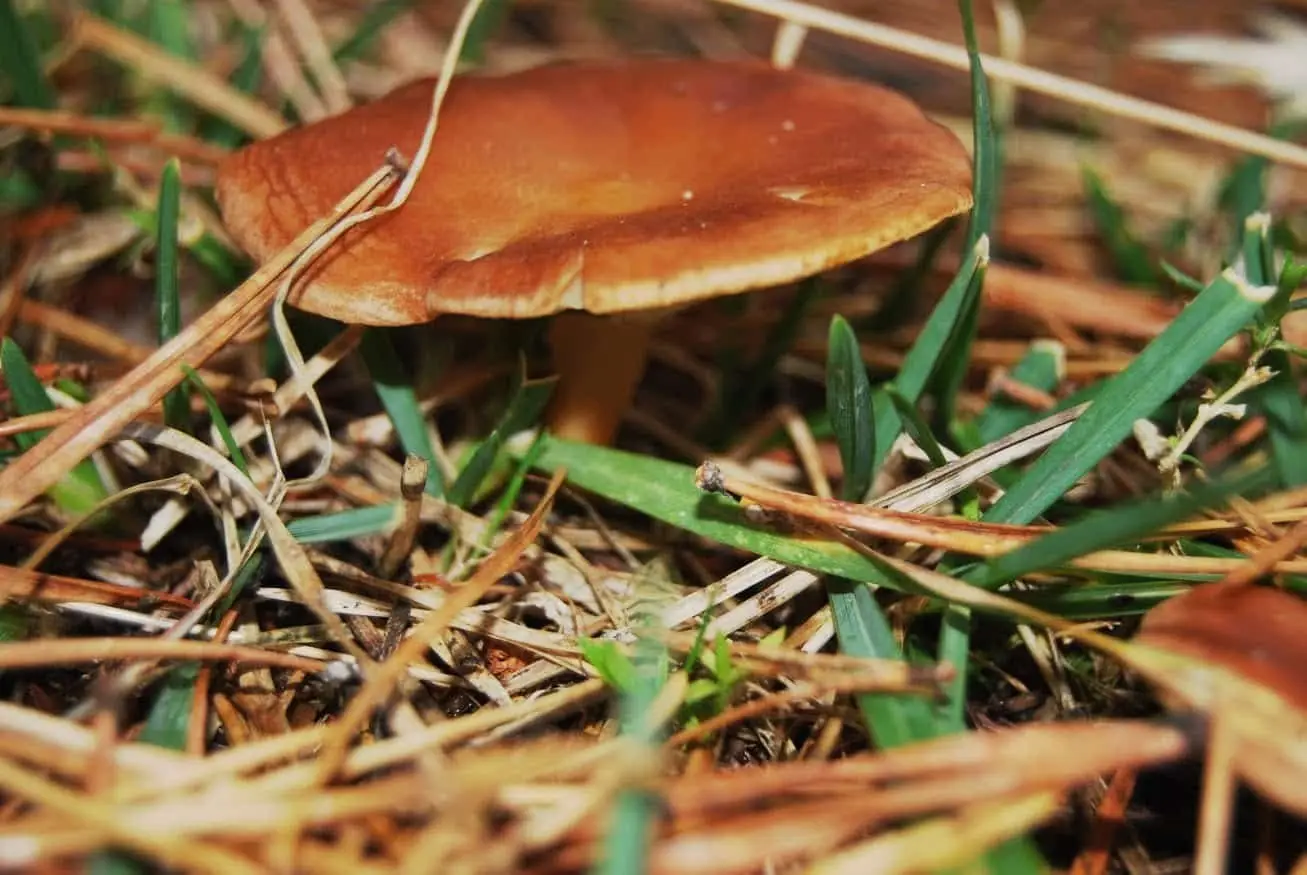
La Sierra mushroom-gathering controlled zone
Roble de la Sexma: where the Sierra representatives were elected
Alcoroches
El Angosto recreation area (Alcoroches)
AlcorochesFortified house of La Bujeda (Traíd)
Traíd
Fuente del Endrino Alto recreation area (Alustante)
AlustantePopulation of Piqueras, 1842–2021
Piqueras reached a peak of 533 inhabitants in 1940 . In the 2021 census there were 50 , a decrease of 91%. This is the history told in the emptying of the Alto Tajo.
Climate in Piqueras month by month
2015–2024 averages from Copernicus ERA5 reanalysis for an altitude of approx. 1,370 m. Useful for planning, not a substitute for live forecasts.
Location
● Reference point · ● Villages · ● Places
Location diagram. Detailed map with tracks and names loads on zoom.
Reference villages: Adobes · Alcoroches · Traíd · Alustante.
Open the full map and historical layers →