Archaeological site · Anguita
Castro de Hocincavero (Anguita)
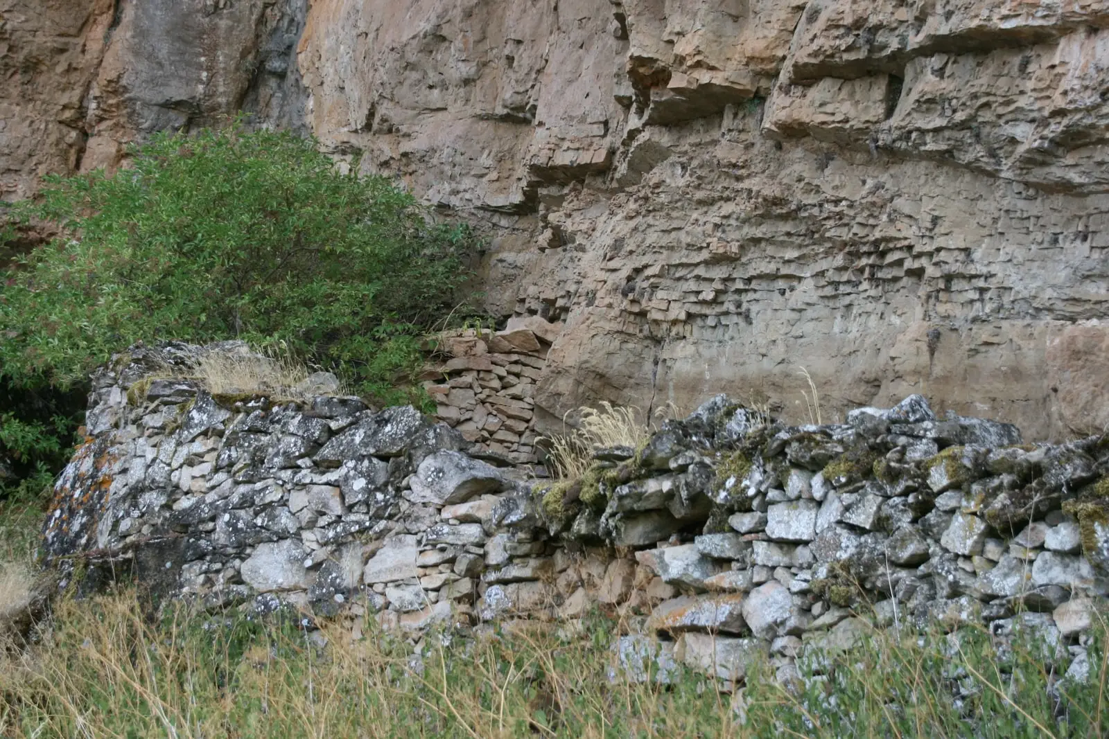
The hillfort of Hocincavero, or Los Castillejos, is a small Celtiberian settlement of under one hectare on one of the highest and least accessible points in Anguita. It uses a ravine drop to the west and concentrates defences on its south and east flanks. Excavated by Barroso and Díez Rotea in the 1990s.
Lands and landscapes
From here, follow the memory of the territory
These readings connect Castro de Hocincavero (Anguita) with the history, work, and villages around it.
This place across time
Which eras you can read here
A single place can preserve traces from different eras. These layers connect what you see with the stories in the atlas.
- Municipality
- Anguita
- Province
- Guadalajara
- Altitude
- 1,159 m
- Celtiberian hillfort
- Under one hectare
- Defences on south and east
- Anguita
A small, well-defended hillfort
In the municipality of Anguita, perched above a steep ravine, lies the castro de Hocincavero, locally also referred to as Los Castillejos. The occupied area does not reach one hectare, but its setting on one of the highest and most naturally defended heights afforded comprehensive observation over arable fields and rich pastures.
Defensive layout
The terrain slopes naturally. To the west, the sheer ravine drop provides natural defence; consequently, constructed defences were concentrated on the south and east sides. It has been studied in comparative context with two other hillforts of similar architecture in the province, located some 20 kilometres apart.
Archaeological excavations
The site was excavated by Barroso and Díez Rotea, who published their findings in 1991 and 1998. Nearby landmarks include the La Cerca Roman camp and La Cava. Read more in Celtiberia.
Visiting
A clear distinction must be made: among all the Celtiberian hillforts in the Señorío, only two are genuinely prepared for visitors, El Ceremeño in Herrería and Peña Moñuz in Olmeda de Cobeta. Hocincavero has received little conditioning for the public: it is unadapted, virtually unsignposted, and what remains visible on the surface is very difficult to interpret without specialist guidance. If you visit, stay on the paths, do not climb on the walls, and do not remove anything from the ground.
Location
● Reference point · ● Villages · ● Places
Location diagram. Detailed map with tracks and names loads on zoom.
Reference villages: Anguita · Santa María del Espino · Aguilar de Anguita · Luzón.
Open the full map and historical layers →More archaeological sites and rock art nearby
View all →Roman camp of La Cerca (Aguilar de Anguita)
Aguilar de Anguita
La Cava (Luzón): a Celtiberian town above the Tajuña
Luzón