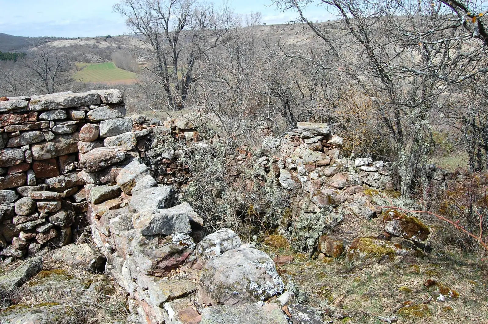
Archaeological site · Aguilar de Anguita
Dolmen of Portillo de las Cortes (Aguilar de Anguita)
The dolmen of Portillo de las Cortes, in Aguilar de Anguita, is a Neolithic collective burial monument, one of the few megaliths in the central Iberian plateau. It features a polygonal chamber of roughly three metres and a seven-metre passage beneath a mound. Excavated by the Marquis of Cerralbo in 1912, it is studied by the University of Alcalá.
This place across time
Which eras you can read here
A single place can preserve traces from different eras. These layers connect what you see with the stories in the atlas.
- Municipality
- Aguilar de Anguita
- Province
- Guadalajara
- Altitude
- 1,120 m
- Neolithic
- Collective burial
- Marquis of Cerralbo, 1912
- University of Alcalá
A six-thousand-year-old tomb
In a mountain col between hills near Aguilar de Anguita stands one of the rare megalithic dolmens of the central Iberian plateau. It is a Neolithic collective burial tomb: a polygonal funerary chamber roughly three metres in diameter, entered via a seven-metre corridor oriented toward the southeast, all enclosed beneath an earthen mound (túmulo).
Cerralbo and the flint tools
It was discovered and excavated in 1912 by the Marquis of Cerralbo, the pioneer archaeologist of the region, who numbered each individual burial to avoid separating deceased individuals from their associated grave goods. These grave goods were abundant: flint knives and projectile points alongside an engraved stone plate idol fragment, yet no pottery or metal objects. Original excavation documentation is preserved in the Cerralbo Museum in Madrid.
Modern excavations
A century later, the Prehistory research team from the University of Alcalá re-examined the assemblage and undertook renewed field excavations at the burial mound. Located near Anguita and the Torre de la Cigüeña.
Frequently asked questions
What is significant about the dolmen of Aguilar de Anguita?
It is one of the very few megalithic passage tombs identified in the central Iberian plateau. It has a distinct burial chamber and entrance corridor beneath an earthen mound, with grave goods rich in flint tools and absent of ceramics or metals. Early excavations have been complemented by modern research from the University of Alcalá.
Location
● Reference point · ● Villages · ● Places
Location diagram. Detailed map with tracks and names loads on zoom.
Reference villages: Aguilar de Anguita · Anguita · Alcolea del Pinar · Luzaga.
Open the full map and historical layers →More archaeological sites and rock art nearby
View all →Roman camp of La Cerca (Aguilar de Anguita)
Aguilar de AnguitaCastro de Hocincavero (Anguita)
Anguita