Heritage · Molina de Aragón
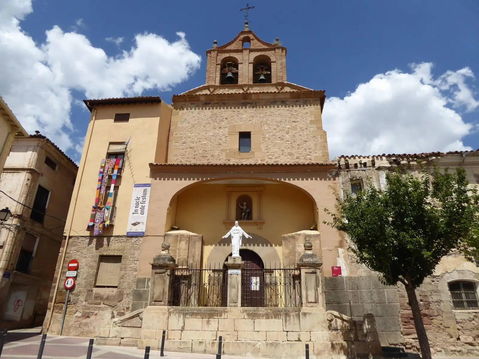
Church of San Pedro (Molina de Aragón) and its Mudéjar bell-gable
The church of San Pedro in Molina de Aragón is a 16th-century Renaissance building best known for its Mudéjar bell-gable, one of the most distinctive in town. It stands on Calle de la Enseñanza in the historic quarter, on the way up to the castle.
Lands and landscapes
From here, follow the memory of the territory
These readings connect Church of San Pedro (Molina de Aragón) and its Mudéjar bell-gable with the history, work, and villages around it.
- Municipality
- Molina de Aragón
- Province
- Guadalajara
- Altitude
- 1,091 m
- 16th century
- Mudéjar bell-gable
- Renaissance
- Historic quarter
A distinctive bell-gable
In the historic quarter of Molina de Aragón, on Calle de la Enseñanza, the church of San Pedro is a 16th-century Renaissance building. What makes it unmistakable is its Mudéjar bell-gable, a belfry of brick and geometric ornamentation crowning the facade, left behind by Mudéjar master builders who worked in the town.
On the route
It stands on the walk between the main square and the castle, close to Santa Clara and San Gil. See also the historic quarter.
Location
● Reference point · ● Villages · ● Places
Location diagram. Detailed map with tracks and names loads on zoom.
Reference villages: Molina de Aragón · Castilnuevo · Rillo de Gallo · Corduente.
Open the full map and historical layers →More heritage: chapels, bridges and saltworks nearby
View all →Church of Santa Clara (Molina de Aragón): the Romanesque gem of the town
Molina de AragónChurch of Santa María la Mayor de San Gil (Molina de Aragón)
Molina de Aragón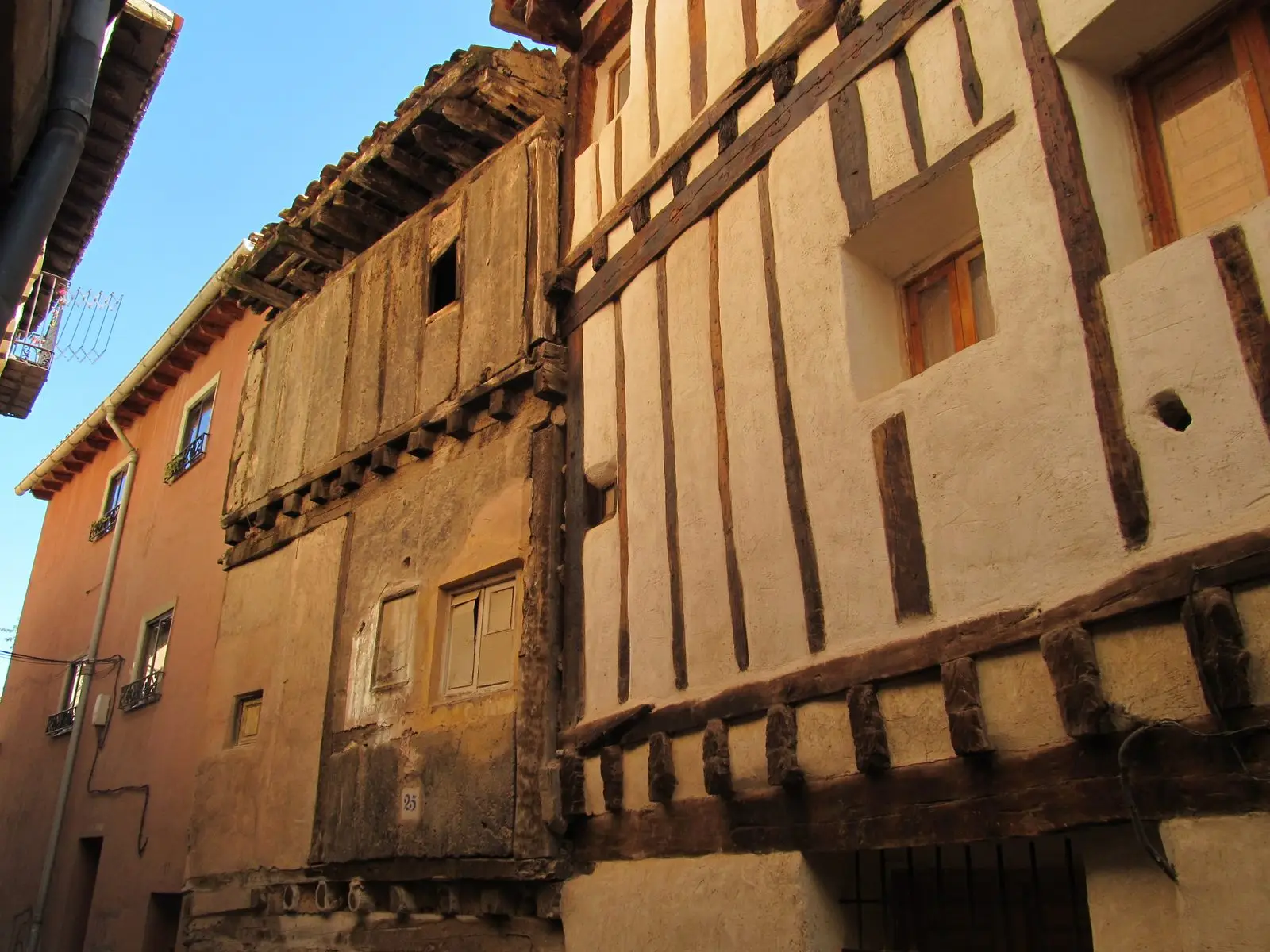
Historic quarter of Molina de Aragón: palaces, Jewish quarter, and Moorish quarter
Molina de Aragón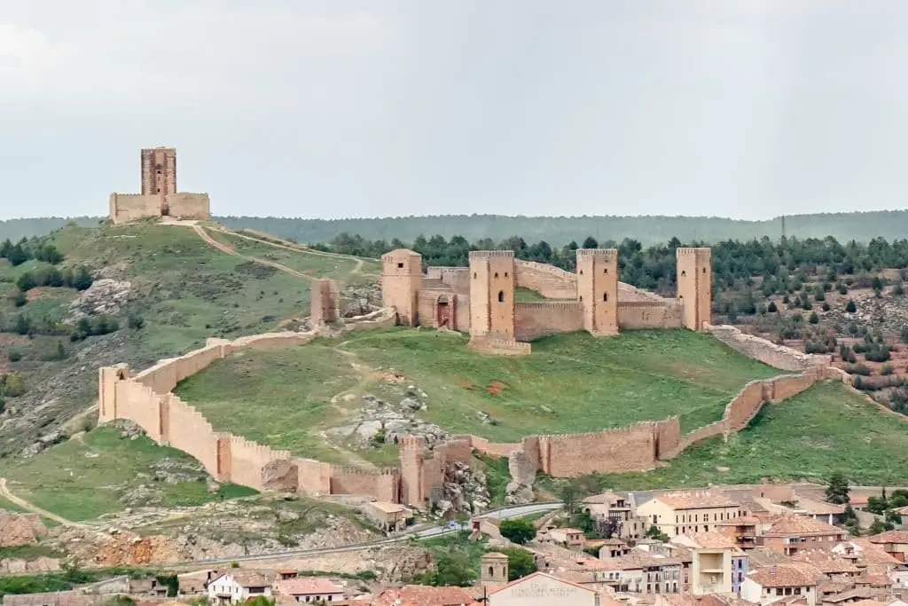
Castle of Molina de Aragón: 12th-century fortress and Torre de Aragón
Molina de AragónNearby routes
All routes →
GR-160, Camino del Cid, through the Señorío de Molina
The Camino de los Tratantes: from Molina de Aragón to Motos