Village · Guadalajara · 1,080 m
Castilnuevo
Castilnuevo is a tiny village on the banks of the Gallo, about 4 km from Molina de Aragón. Following the reconquest of Molina in the early 12th century, a new castle was built here that gave the place its name, now a private manor house. Two hundred metres away stands the 12th-century Romanesque church of the Virgen del Valle. It lies on the Camino del Cid.
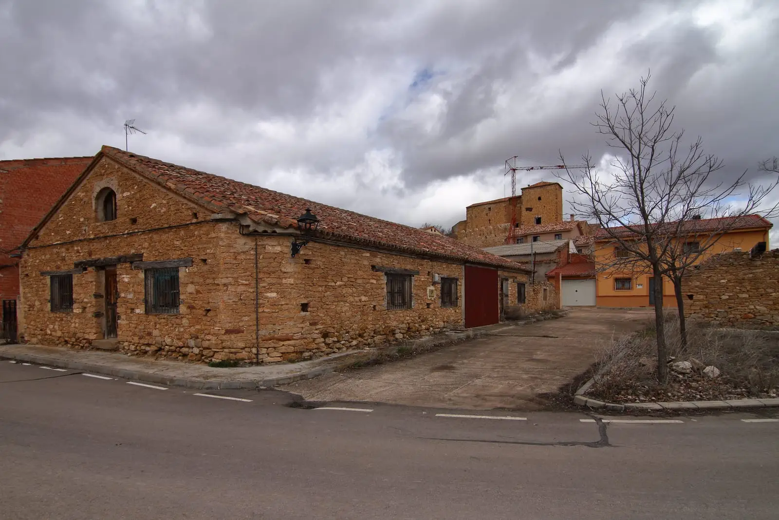
Traces in the village and its surroundings
Which eras you can read here
A single place can preserve traces from different eras. These layers connect what you see with the stories in the atlas.
What to see in Castilnuevo
- The castle of Castilnuevo, mentioned in the Fuero de Molina and later converted into a manor house. It is privately owned.
- The church of the Virgen del Valle, about two hundred metres from the village, dating from the mid-12th century: a single rectangular nave, round-arched portal, and bellcote. Inside is a carved wooden coffered ceiling added in the 19th century.
A new castle
After the reconquest of Molina, its lords built a new fortress on the banks of the Gallo in the early 12th century. That new castle named the settlement, and the church was constructed for the population that settled around it. Few people live here today, but the village retains its medieval layout and forms part of the Camino del Cid.
Nearby
Molina de Aragón is four kilometres away.
Places in and around Castilnuevo
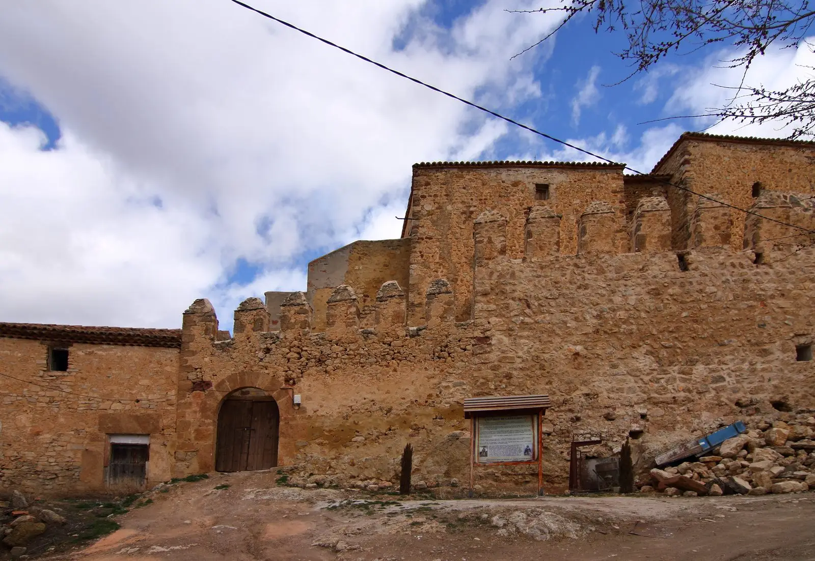
Near Castilnuevo
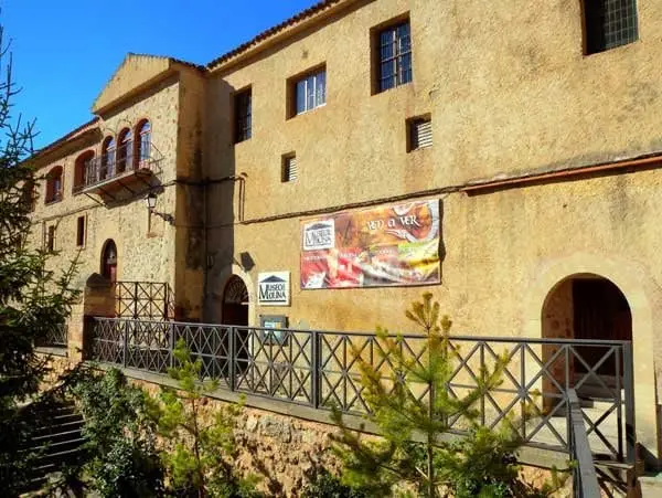
Regional Museum of Molina de Aragón (San Francisco Convent)
Molina de Aragón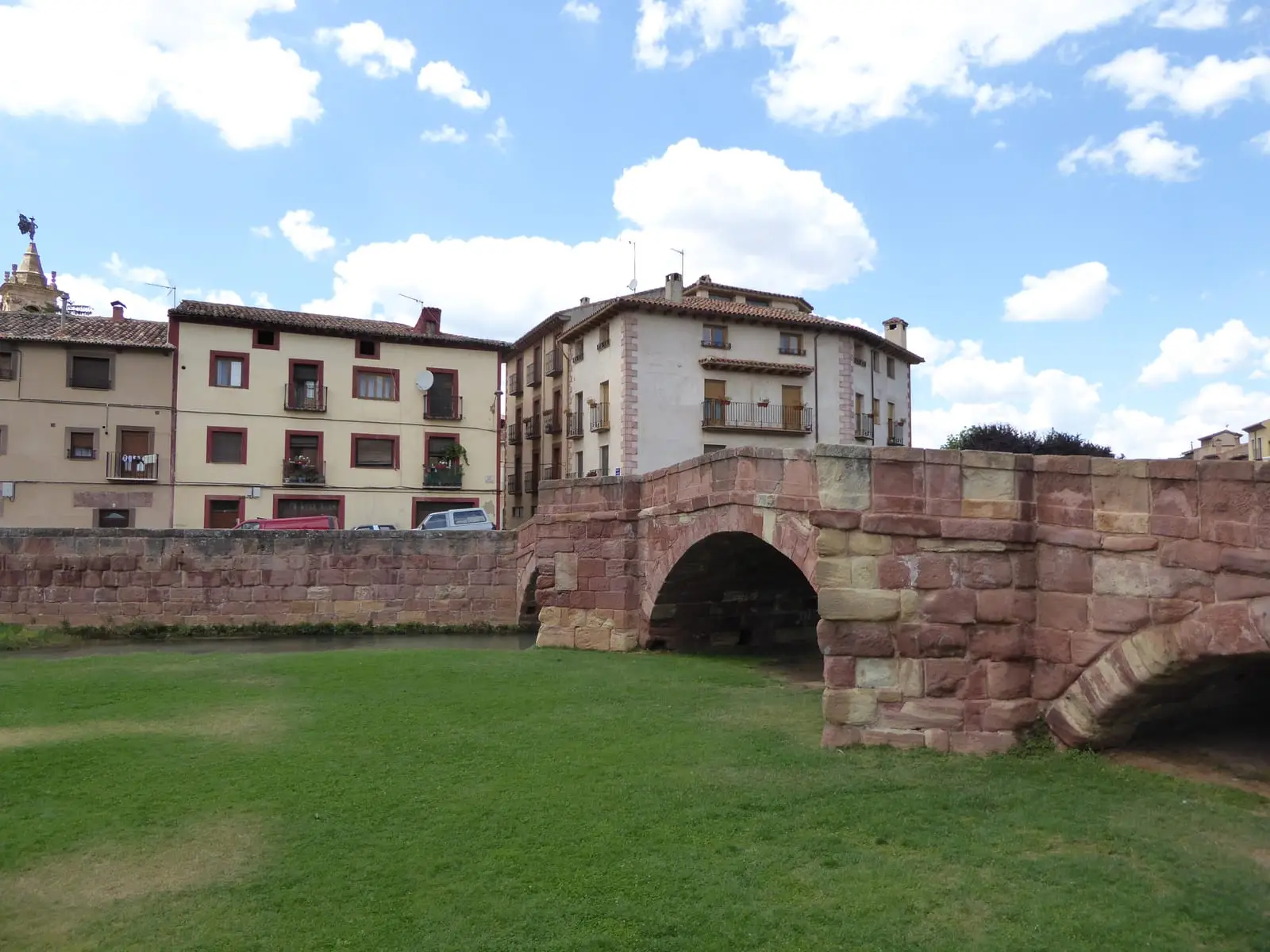
Puente Viejo of Molina de Aragón: the red stone Romanesque bridge
Molina de AragónChurch of Santa Clara (Molina de Aragón): the Romanesque gem of the town
Molina de Aragón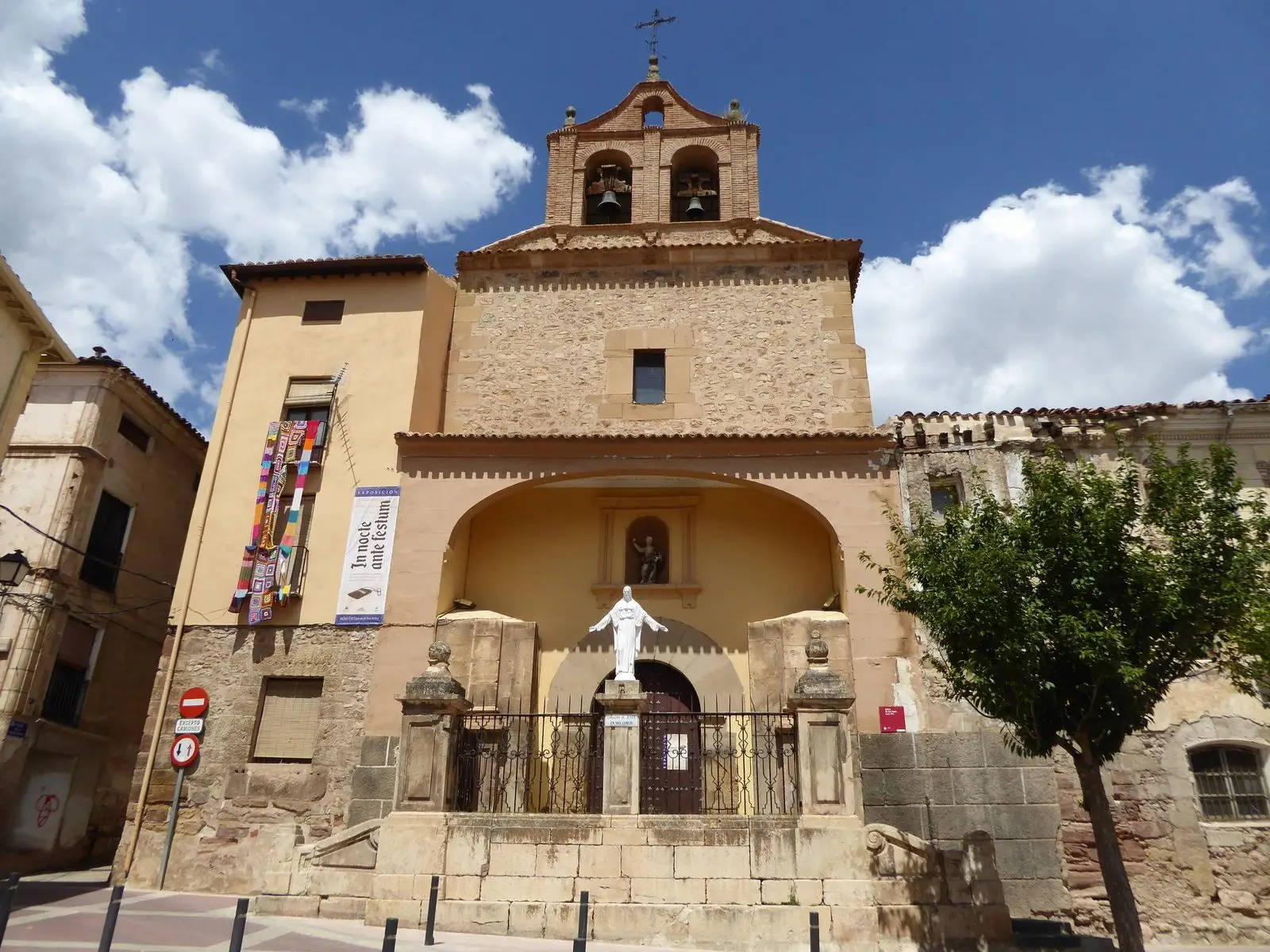
Church of San Pedro (Molina de Aragón) and its Mudéjar bell-gable
Molina de AragónChurch of Santa María la Mayor de San Gil (Molina de Aragón)
Molina de Aragón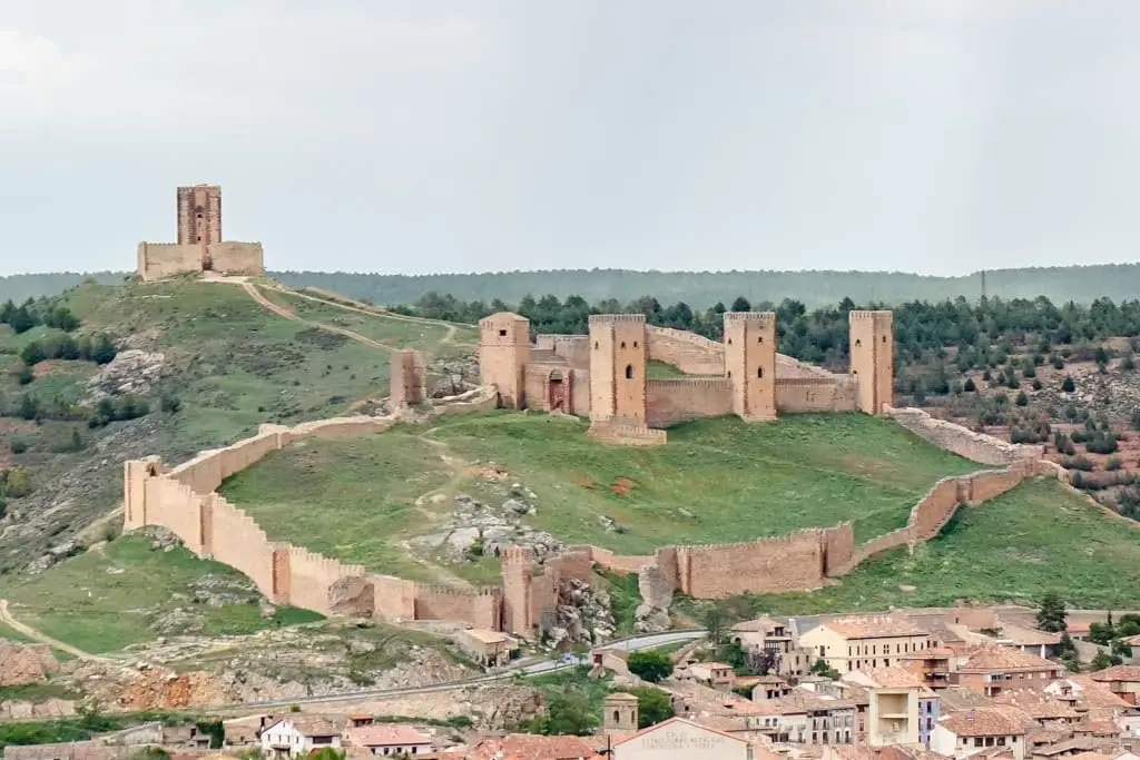
Castle of Molina de Aragón: 12th-century fortress and Torre de Aragón
Molina de Aragón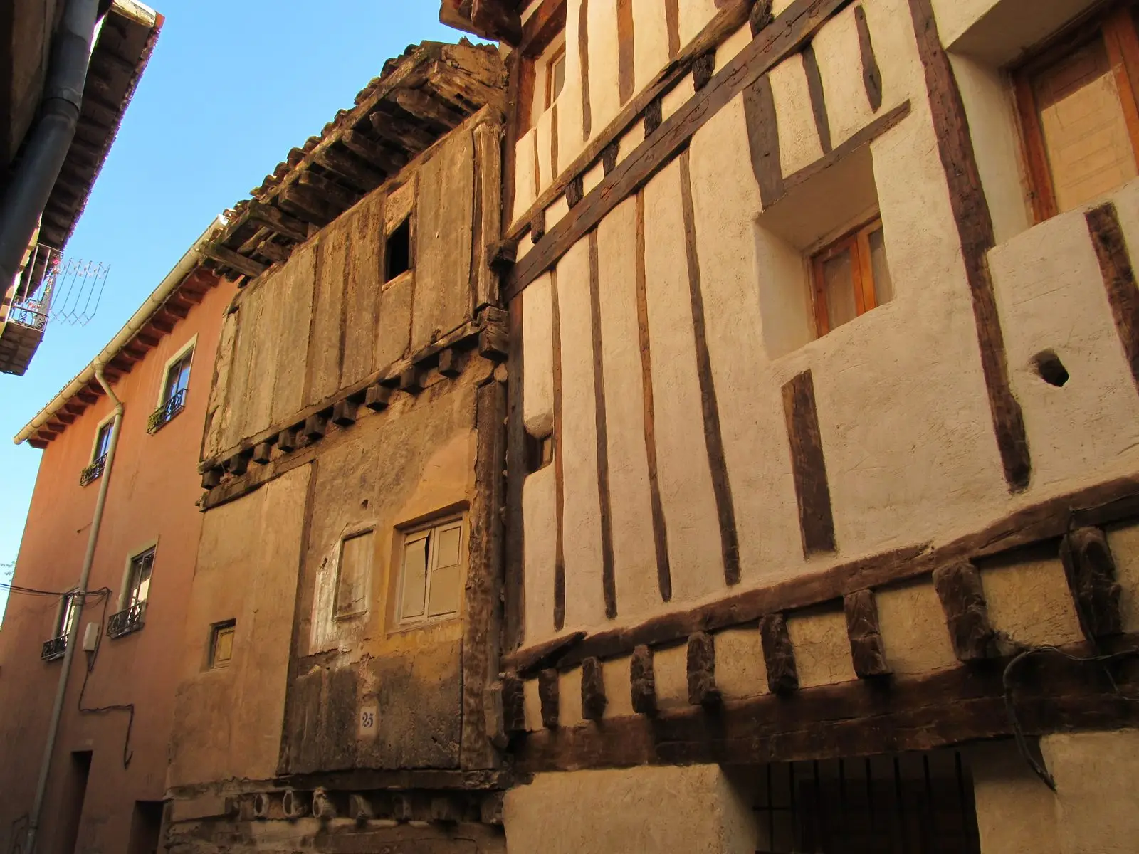
Historic quarter of Molina de Aragón: palaces, Jewish quarter, and Moorish quarter
Molina de Aragón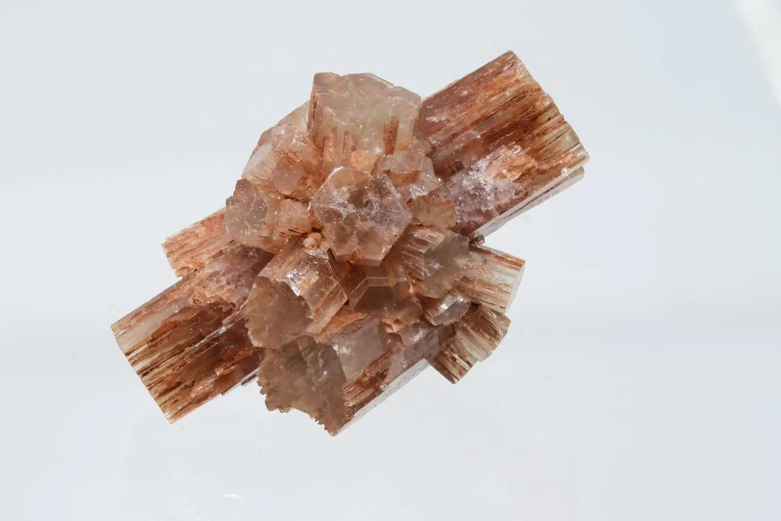
Type locality of aragonite: the mineral named after Aragon
Molina de AragónPopulation of Castilnuevo, 1842–2021
Castilnuevo reached a peak of 218 inhabitants in 1887 . In the 2021 census there were 6 , a decrease of 97%. This is the history told in the emptying of the Alto Tajo.
Climate in Castilnuevo month by month
2015–2024 averages from Copernicus ERA5 reanalysis for an altitude of approx. 1,080 m. Useful for planning, not a substitute for live forecasts.
Location
● Reference point · ● Villages · ● Places
Location diagram. Detailed map with tracks and names loads on zoom.
Reference villages: Molina de Aragón · Torremochuela · Prados Redondos · Chera.
Open the full map and historical layers →