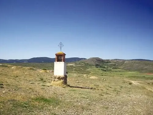
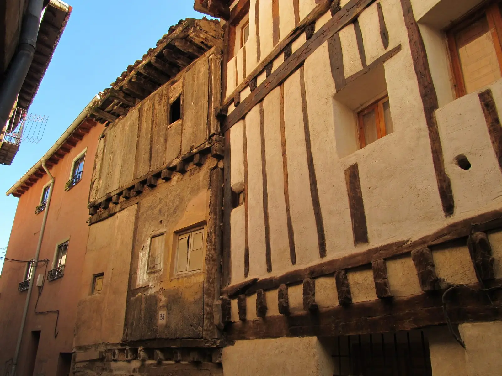
Route · Molina de Aragón, Orea, El Pedregal, Maranchón, Aguilar de Anguita
GR-160, Camino del Cid, through the Señorío de Molina
The Camino del Cid is a cultural itinerary, waymarked as GR-160, crossing Spain following the Cantar de mío Cid and historical traces of Rodrigo Díaz. It traverses the Señorío de Molina, featured in the epic poem as the land of Moorish governor Abengalbón.
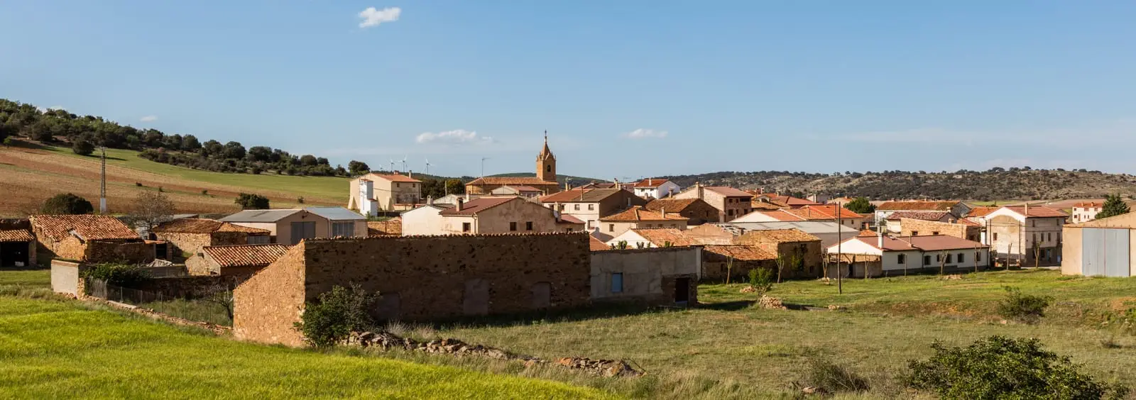
Lands and landscapes
From here, follow the memory of the territory
These readings connect GR-160, Camino del Cid, through the Señorío de Molina with the history, work, and villages around it.
- Code
- GR-160
Walking duration without transfers or stops. Difficulty estimated from distance and elevation when no official classification exists. “Easy” does not imply wheelchair or stroller accessibility.
- GR-160
- Cantar de mío Cid
- Cultural route
- Molina de Aragón
In the footsteps of El Cid
The guiding thread of the route is the Cantar de mío Cid, composed in the late 12th or early 13th century: its landmarks and fortresses form the backbone of the itinerary, accompanied by sites linked to the historical Cid. It can be travelled on foot along the GR-160 footpath, by bicycle, or by road.
In the Señorío
In the poem, Molina is the domain of Abengalbón, the allied Muslim governor who welcomes and assists El Cid and his followers. The route passes through Molina de Aragón and its castle, as well as other towns of the Señorío and Alto Tajo, such as Orea, El Pedregal, and Maranchón. Near Tierzo stands the fortified house of Vega de Arias, known as Casa del Cid.
Planning
Daily stages, GPS tracks, and the traveller’s credential (safe-conduct) are available on the Camino del Cid Consortium website.
Official route · Consorcio Camino del Cid. Description, track and notices on the official guide. Before setting out, verify there whether changes or closures apply.
Location
● Reference point · ● Villages · ● Places
Location diagram. Detailed map with tracks and names loads on zoom.
Approximate position: village centre.
This guide displays the reference location; no route track is available.
Reference villages: Molina de Aragón · Castilnuevo · Rillo de Gallo · Corduente.
Open the full map and historical layers →