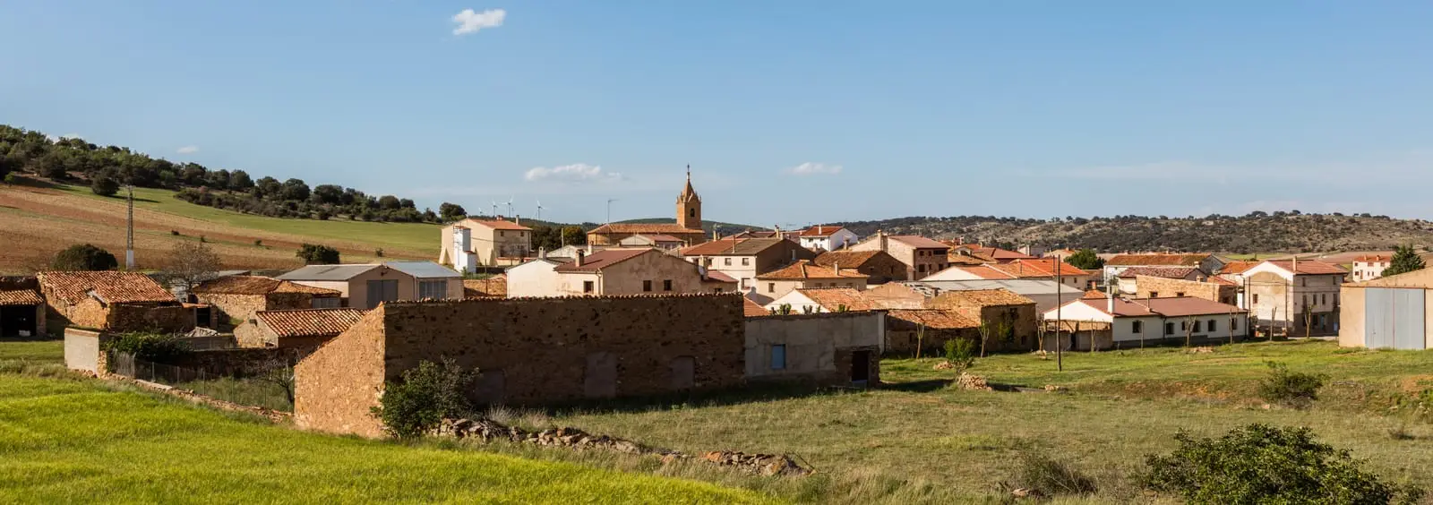
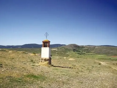
Bike route · Molina de Aragón
Diputación: Geocycling Route of the Señorío de Molina: 283 km in 10 stages
The Geological Cycling Route is a signposted circular itinerary of around 283 km around Molina de Aragón and the Alto Tajo, divided into 10 stages of 20 to 50 km along well-maintained dirt roads, tracks, and quiet rural roads. Inaugurated in 2012.
Lands and landscapes
From here, follow the memory of the territory
These readings connect Geocycling Route of the Señorío de Molina: 283 km in 10 stages with the history, work, and villages around it.
- Code
- Diputación · Geoparque
Walking duration without transfers or stops. Difficulty estimated from distance and elevation when no official classification exists. “Easy” does not imply wheelchair or stroller accessibility.
- Diputación · Geoparque
- 283 km, 10 stages
- Signposted
- Start and finish in Molina
Geology by bicycle
Designed to explore the geology and natural heritage of the comarca by bicycle, though it can also be completed by motor vehicle (respecting regulations) or on foot. Starts and finishes in Molina de Aragón.
Planning
Request the route roadbook at the Molina Museum or the local tourist office. With stages ranging from 20 to 50 km, it can be adapted to nearly any fitness level. Carry tools and spare tubes: some stretches are very isolated. To explore local geology in depth, combine it with the georoutes of the Natural Park and Geopark.
Official route · Diputación de Guadalajara.
Location
● Reference point · ● Villages · ● Places
Location diagram. Detailed map with tracks and names loads on zoom.
Approximate position: village centre.
This guide displays the reference location; no route track is available.
Reference villages: Molina de Aragón · Castilnuevo · Rillo de Gallo · Corduente.
Open the full map and historical layers →