Village · Guadalajara · 1,069 m
Molina de Aragón
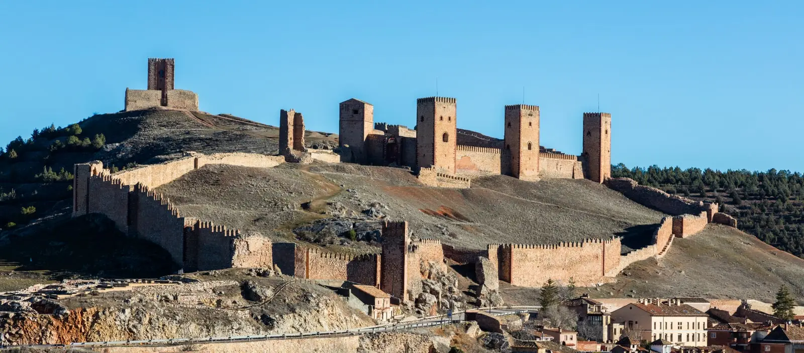
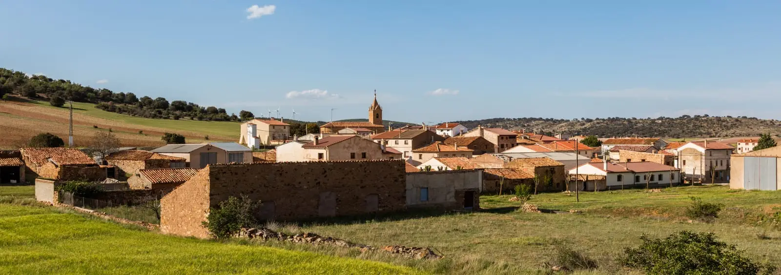
Molina de Aragón is the historic capital of the Señorío de Molina and the main hub for visiting the Alto Tajo. Its medieval quarter of cobblestone streets and red stone sits beneath a 12th-century fortress built over Arab and Celtiberian fortifications.
Rivers and basins
The thread of water from Molina de Aragón
Follow these watercourses towards their confluences, villages, and basin history.
Lands and landscapes
From here, follow the memory of the territory
These readings connect Molina de Aragón with the history, work, and villages around it.
Traces in the village and its surroundings
Which eras you can read here
A single place can preserve traces from different eras. These layers connect what you see with the stories in the atlas.
1936–1939 · memory of the territory
The war in the village memory
In summer 1936, Molina passed from occupation by Republican columns to occupation by the insurgent troops. Republican guerrillas also operated in its region during the conflict. That history connects the town with the river front and the paths of its territory.
Source: Schnell, pp. 24–25; UCLM, presentación del libro de Alan Herchhoren Alcolea.
Read the story of the river frontline →The capital of a semi-independent señorío
During the Middle Ages, the Señorío de Molina was almost a small independent state between Castile and Aragon, with Molina de Aragón as its capital. From that era survive its historic quarter of cobbled streets and red sandstone buildings, and above all its castle.
The castle
Its sheer size is striking. A distinction must be made between the 12th-century walled fortress, constructed by Manrique de Lara (first lord of Molina), and the Torre de Aragón, built atop an Arab fortress that in turn sat upon a Celtiberian hillfort. The walled enclosure is so extensive that in the 13th century it accommodated an entire residential quarter.
What else to see
- Molina Museum, a journey across the archaeology and history of the comarca.
- A stroll through the historic town centre, its churches, and its bridge over the Gallo River.
Towards the Alto Tajo
Molina is the natural gateway to the Natural Park: Barranco de la Hoz lies minutes away following the Gallo, and from here you can organise excursions towards Corduente, Zaorejas, or Checa.
More heritage in town and surroundings
In the municipality: Torre de Aragón, Old Bridge, Santa Clara, San Pedro, San Gil, Prao de los Judíos, palaces, Jewish and Moorish quarters, and the type locality of aragonite.
Planning your visit
Allow one day for the historic town centre and Barranco de la Hoz, or dedicate a full day to municipal heritage if planning to tour the interior of the fortress and museum.
Before travelling
Distinguish between an urban walking tour and driving trips into the Natural Park. Confirm opening hours and calculate driving times towards Zaorejas or Checa: they are separate driving destinations, not stops on a single walking route.
To combine
Continue with Barranco de la Hoz. Consult its guide to decide whether it fits into the same outing.
Places in and around Molina de Aragón
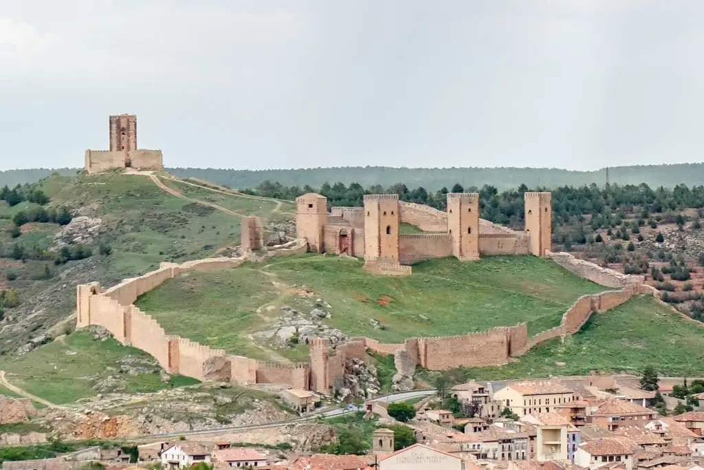
Castle of Molina de Aragón: 12th-century fortress and Torre de Aragón
Molina de Aragón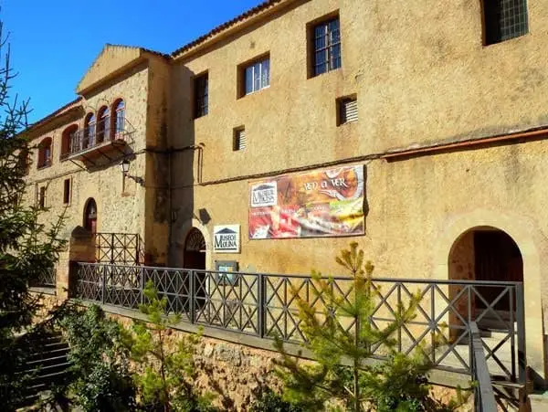
Regional Museum of Molina de Aragón (San Francisco Convent)
Molina de Aragón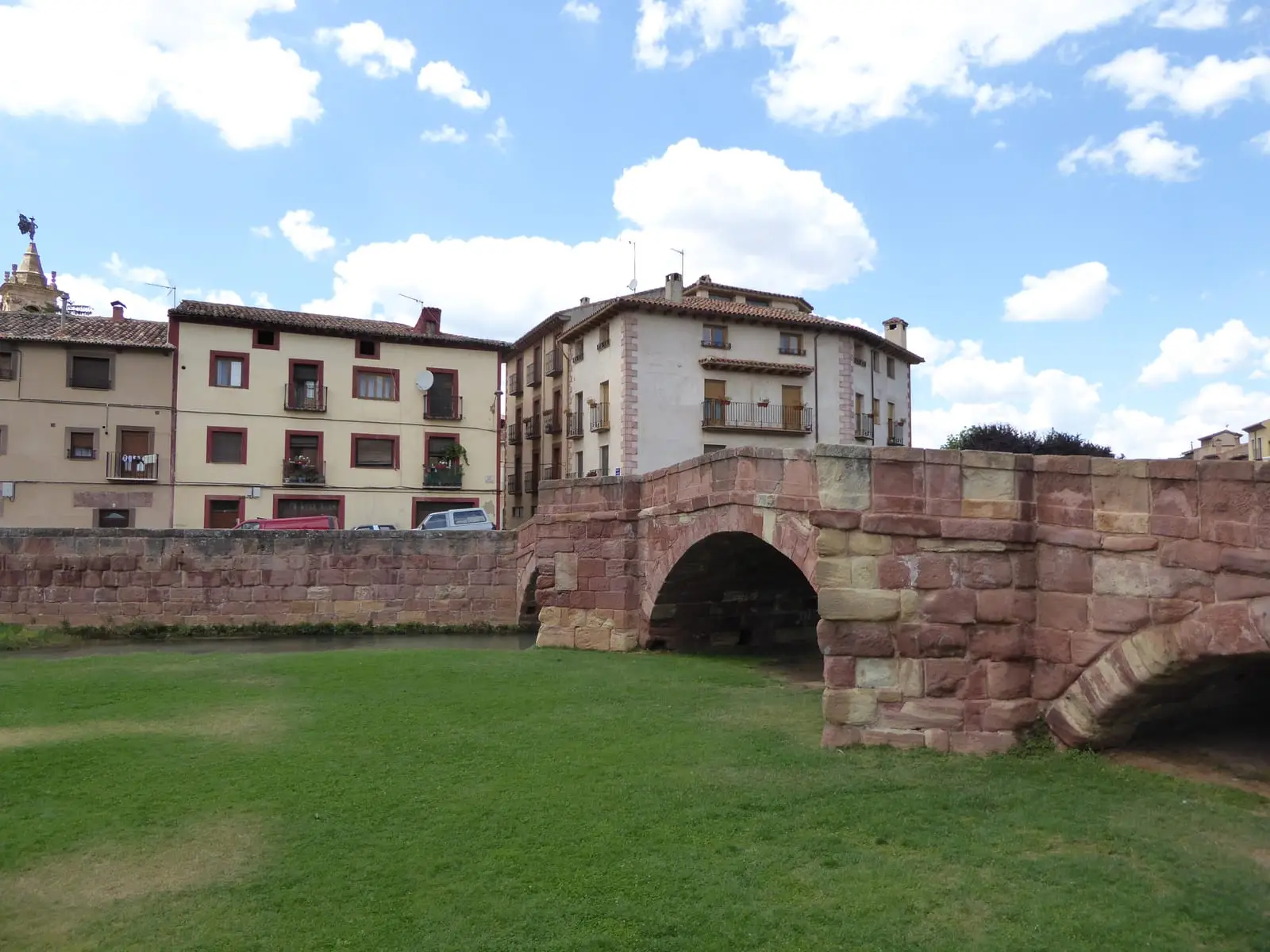
Puente Viejo of Molina de Aragón: the red stone Romanesque bridge
Molina de Aragón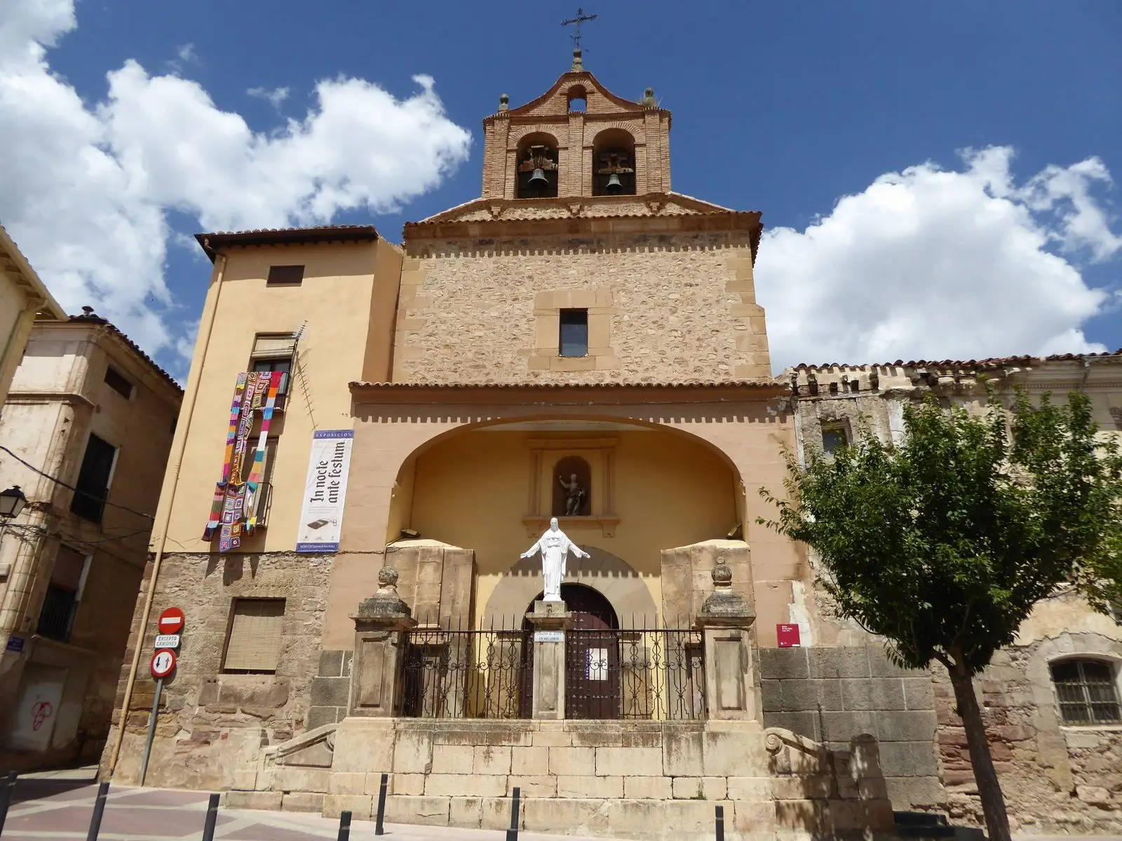
Church of San Pedro (Molina de Aragón) and its Mudéjar bell-gable
Molina de Aragón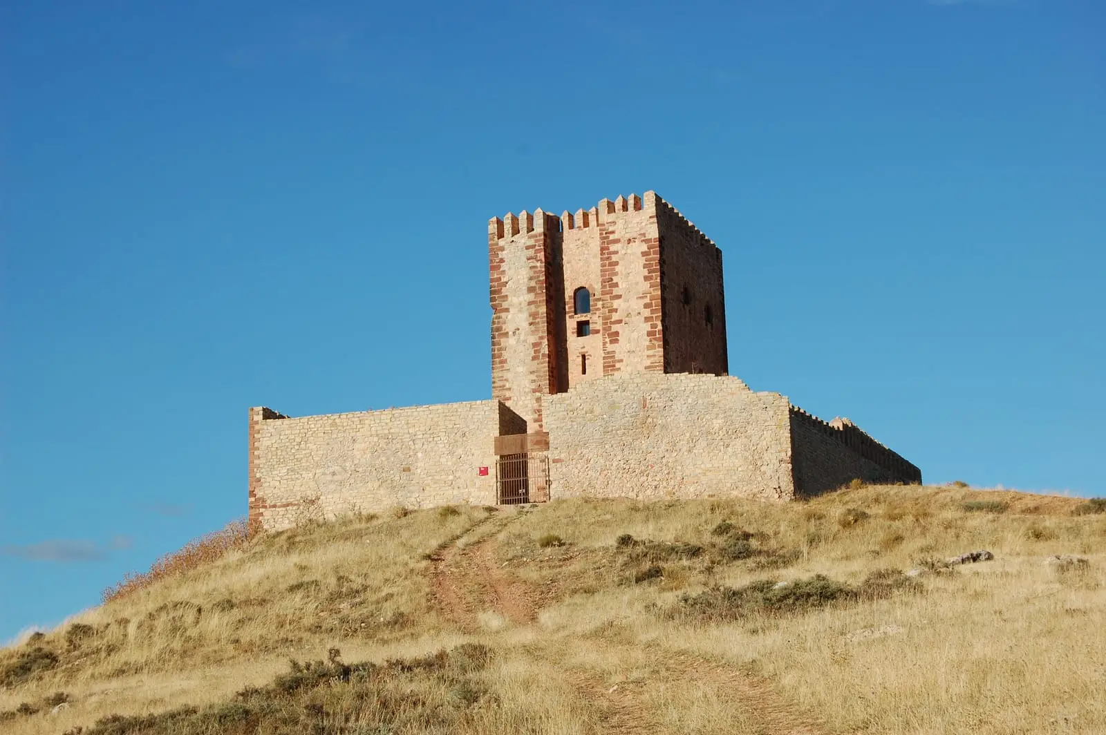
Torre de Aragón: Molina's Pentagonal Watchtower and Interpretation Centre
Molina de Aragón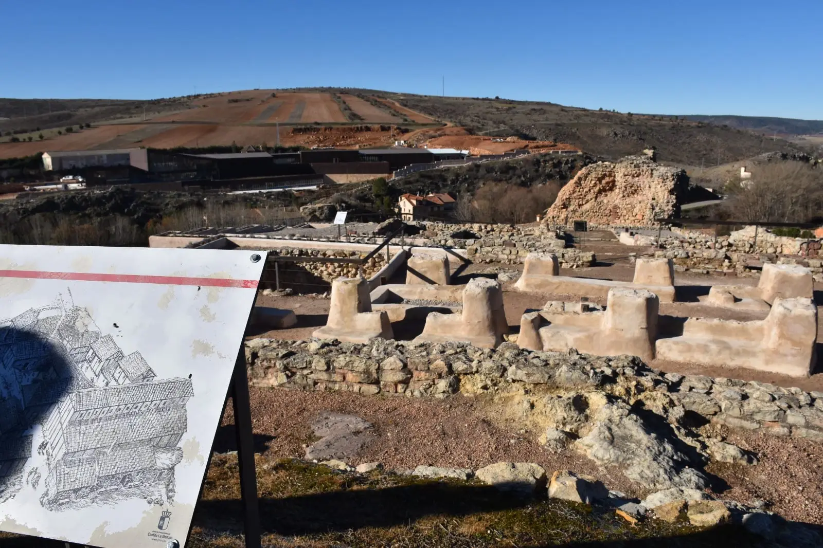
Prao de los Judíos (Molina de Aragón): the Jewish quarter beneath the castle
Molina de Aragón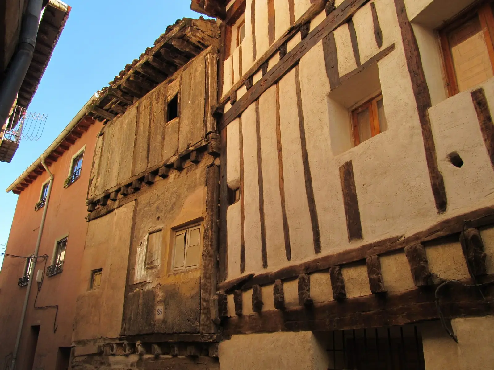
Historic quarter of Molina de Aragón: palaces, Jewish quarter, and Moorish quarter
Molina de Aragón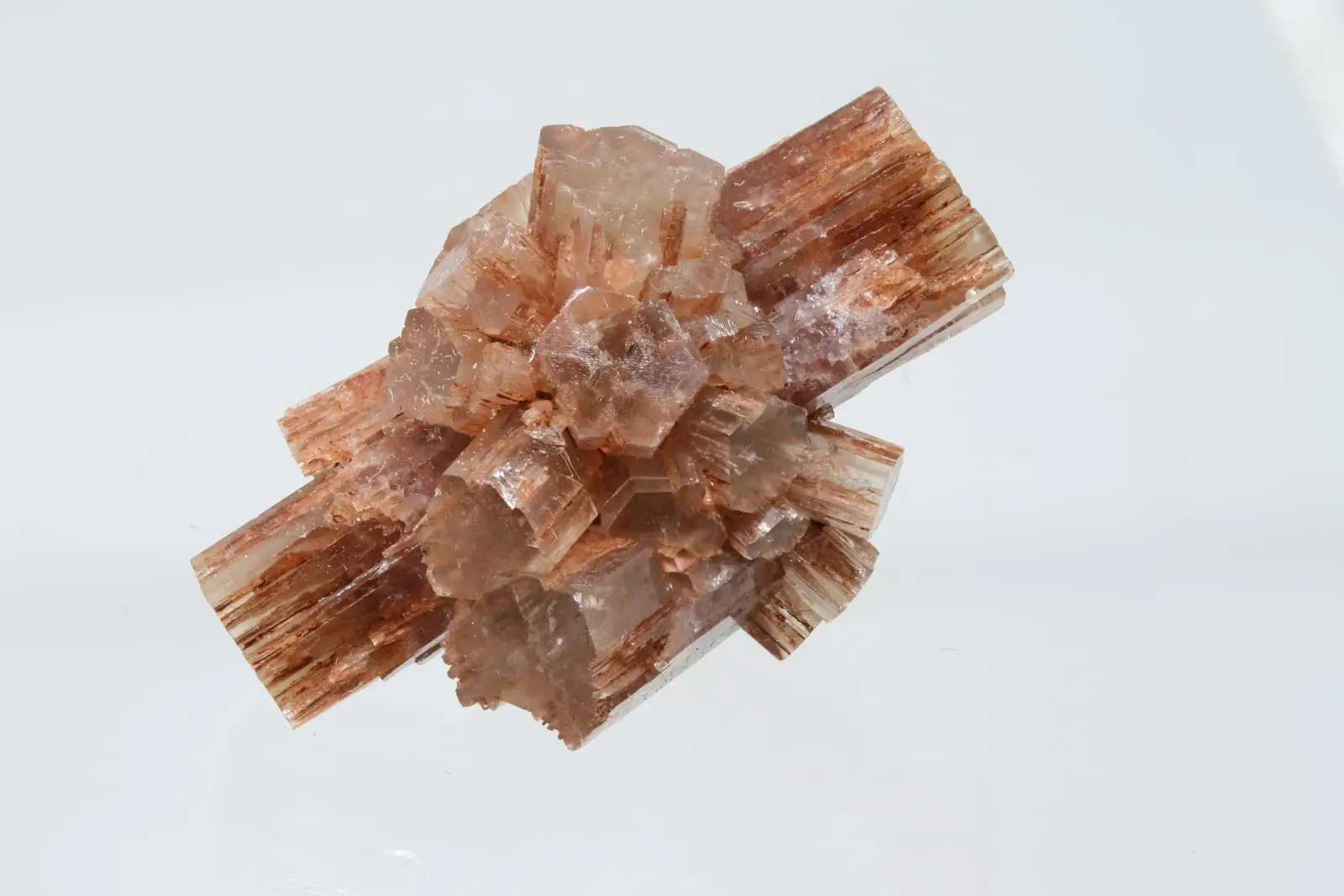
Type locality of aragonite: the mineral named after Aragon
Molina de AragónChurch of Santa Clara (Molina de Aragón): the Romanesque gem of the town
Molina de AragónChurch of Santa María la Mayor de San Gil (Molina de Aragón)
Molina de AragónRoutes linked to Molina de Aragón
Population of Molina de Aragón, 1842–2021
Molina de Aragón reached a peak of 4,014 inhabitants in 1981 . In the 2021 census there were 3,266 , a decrease of 19%.
Climate in Molina de Aragón month by month
2015–2024 averages from Copernicus ERA5 reanalysis for an altitude of approx. 1,069 m. Useful for planning, not a substitute for live forecasts.
Frequently asked questions
What is there to see in Molina de Aragón?
The castle with its walled perimeter and the Torre de Aragón, the historic quarter with its churches and bridge, and the Molina Museum.
What is the Señorío de Molina?
A historic territory that enjoyed extensive autonomy between Castile and Aragon during the Middle Ages. Molina de Aragón was its capital.
Location
● Reference point · ● Villages · ● Places
Location diagram. Detailed map with tracks and names loads on zoom.
Reference villages: Castilnuevo · Rillo de Gallo · Corduente · Herreria.
Open the full map and historical layers →