Route · Molina de Aragón, Piqueras, Alustante, Motos
The Camino de los Tratantes: from Molina de Aragón to Motos
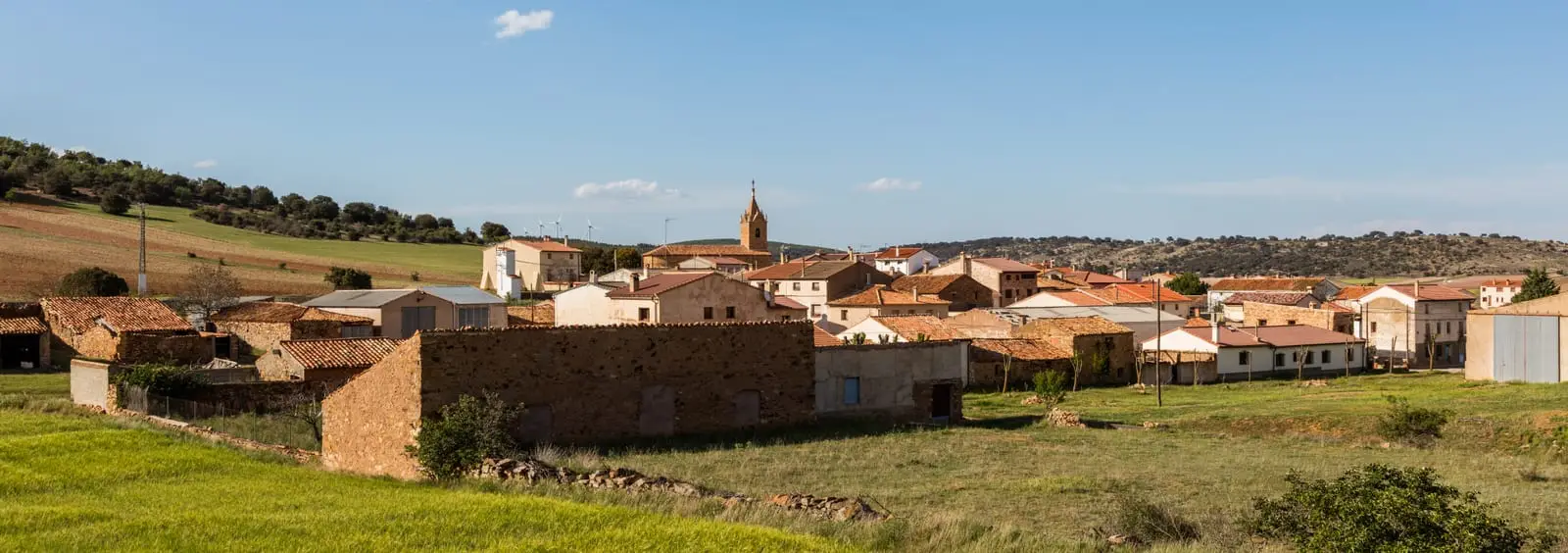
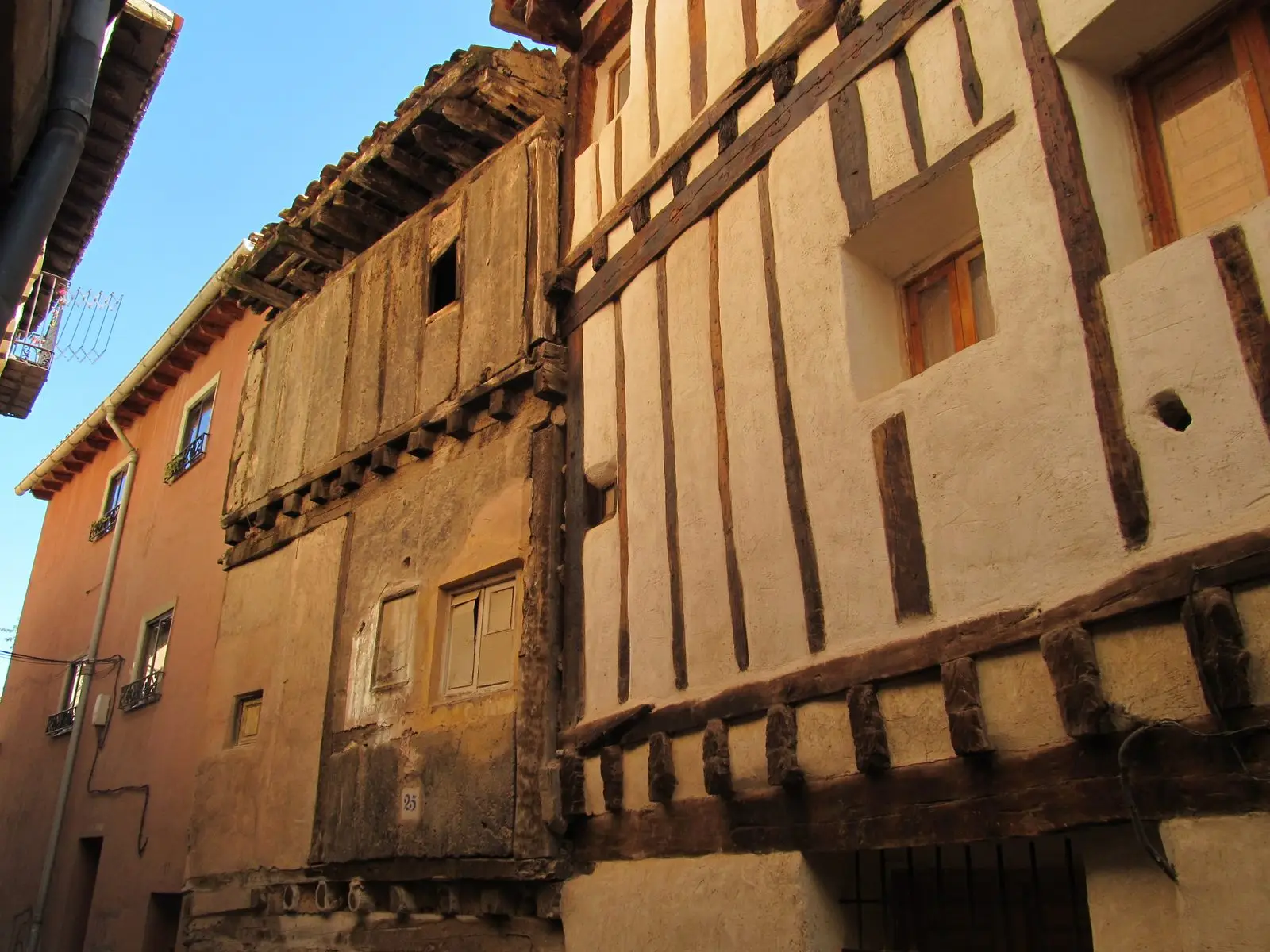
The Camino de los Tratantes recovers the historical itinerary used for centuries by farmers, merchants, and livestock dealers between Molina de Aragón and Albarracín and Teruel. It spans about 58 km through the high plateau. Not an officially certified trail.
Lands and landscapes
From here, follow the memory of the territory
These readings connect The Camino de los Tratantes: from Molina de Aragón to Motos with the history, work, and villages around it.
- Code
- Diputación de Guadalajara
Walking duration without transfers or stops. Difficulty estimated from distance and elevation when no official classification exists. “Easy” does not imply wheelchair or stroller accessibility.
- Diputación de Guadalajara
- Around 58 km
- Historical trail
- Not certified
A trail of trade fairs
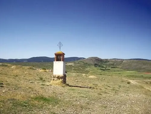
Along this route travelled merchants heading to fairs and markets with their goods and herds. Walking it restores to modern hiking a pathway of deep heritage across the region.
The route
From Molina de Aragón to Motos, crossing Otilla, Piqueras, and Alustante. It is gentle and can be divided across several days. Near Motos lies Hoyón de Motos.
Note: not an officially certified trail
This itinerary was promoted by the Diputación de Guadalajara, but is not a certified trail by the Mountaineering Federation: waymarking may be sparse or absent in parts. Carry a map and plan each day carefully.
Official route · Diputación de Guadalajara.
Location
● Reference point · ● Villages · ● Places
Location diagram. Detailed map with tracks and names loads on zoom.
Approximate position: village centre.
This guide displays the reference location; no route track is available.
Reference villages: Molina de Aragón · Castilnuevo · Rillo de Gallo · Corduente.
Open the full map and historical layers →