Heritage · Selas
Church of the Virgen de la Minerva (Selas) and its altarpiece
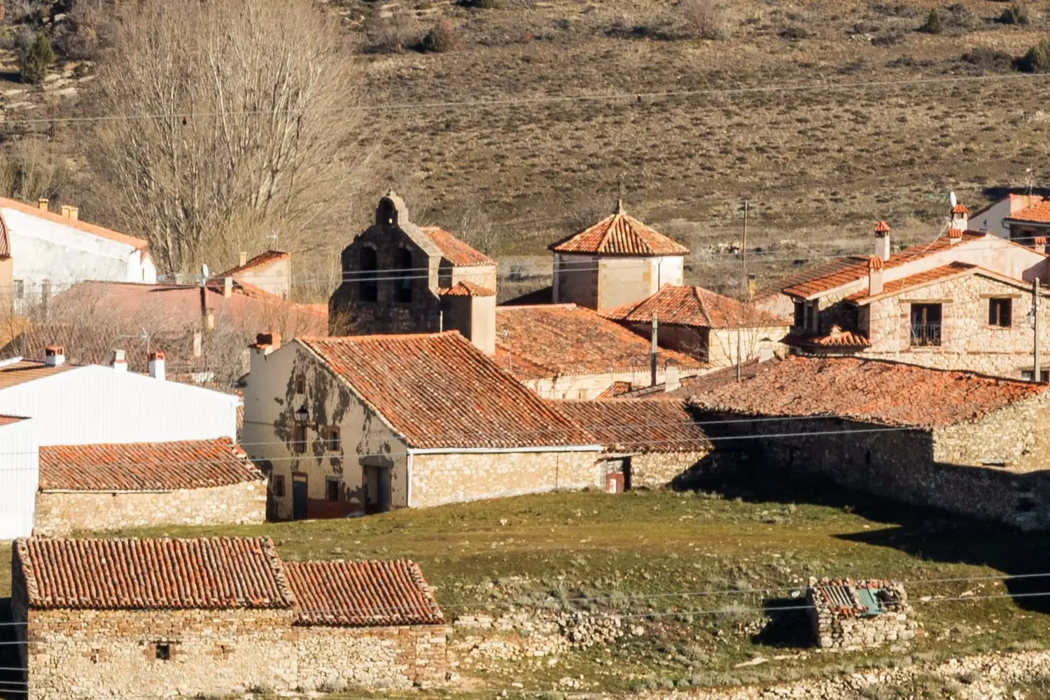
Selas parish church, dedicated to the Virgen de la Minerva, the village’s patron since at least the 16th century, dates from the middle of that century. Its main altarpiece has painted panels from the second half of the 16th century above, with the Virgin’s image at its centre. Selas lies in the Tajuña valley.
- Municipality
- Selas
- Province
- Guadalajara
- Altitude
- 1,222 m
- 16th century
- Main altarpiece
- Virgen de la Minerva
- Tajuña valley
The patron of Selas
In Selas, in the upper Tajuña valley, the church is dedicated to the Virgen de la Minerva, honoured as the village’s patron since at least the 16th century. The building dates from the middle of that century.
The altarpiece
Its great piece is the main altar’s altarpiece. The painted panels at the top date from the second half of the 16th century, and the image of the Virgen de la Minerva presides at the centre. Later records mention a donation by a resident, Domingo Moreno, in 1855, connected with its more recent history.
Nearby
Selas lies on the edge of the Parameras de Maranchón and near the Tajuña gorges between Anguita and Luzón.
Location
● Reference point · ● Villages · ● Places
Location diagram. Detailed map with tracks and names loads on zoom.
Reference villages: Selas · Anquela del Ducado · Aragoncillo · Mazarete.
Open the full map and historical layers →