Archaeological site · Aragoncillo
El Turmielo (Aragoncillo): watchtower and shelter of early Molina history
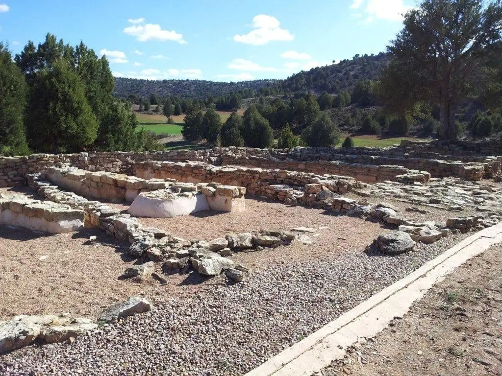
El Turmielo comprises two linked archaeological sites in Aragoncillo (Corduente): an elevated settlement functioning as a watchtower and a rock shelter. Excavated between 1993 and 1995, they demonstrate how proto-Celtiberian communities in the Molina highlands distributed specialized functions: habitation, surveillance, storage, or craftsmanship.
This place across time
Which eras you can read here
A single place can preserve traces from different eras. These layers connect what you see with the stories in the atlas.
- Municipality
- Aragoncillo
- Province
- Guadalajara
- Altitude
- 1,237 m
- Proto-Celtiberian
- Watchtower and shelter
- Excavated 1993-1995
- Near El Palomar
Two archaeological sites in one
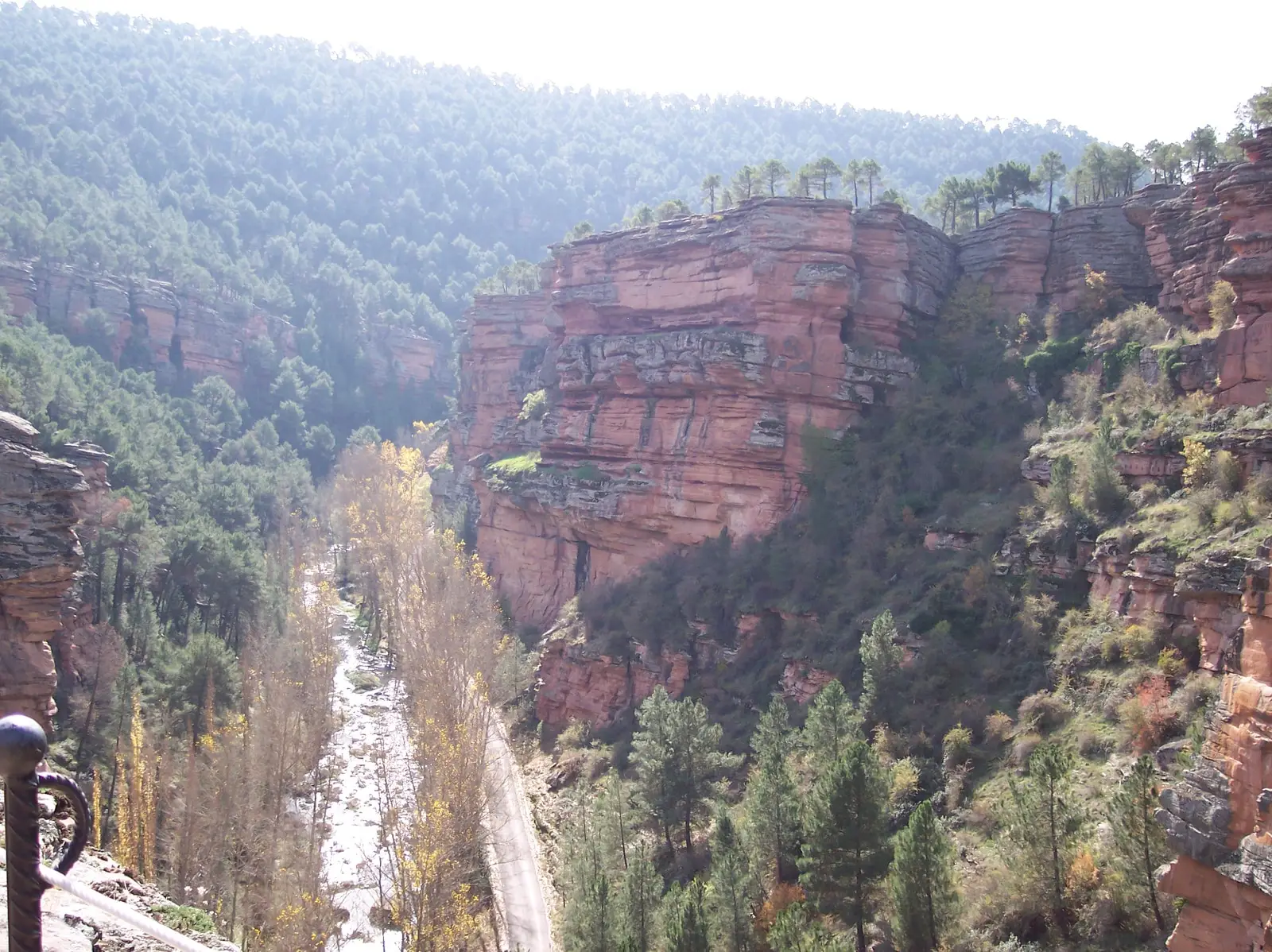
Near Aragoncillo, along the Camino de los Carboneros, lie El Turmielo I, a small elevated settlement that functioned as a defensive watchtower, and El Turmielo II, a rock shelter beneath the cliff. Excavated between 1993 and 1995, their findings were published in the archaeological journal Kalathos, documenting prehistoric settlement patterns in the Molina mountains.
Archaeological significance
Researchers presented the site as evidence of functional diversification of settlement types during the proto-Celtiberian period, preceding the full Iron Age: not all sites were fortified villages; some operated as specialized lookout outposts, pastoral shelters, or workshops. Together with the nearby village of El Palomar, the adjacent site of La Pedriza, and the Cerrada de los Santos cemetery, it forms one of the most comprehensive archaeological micro-regions in the area.
Read more in the Celtiberians of the Alto Tajo.
Visiting
A clear distinction must be made: among all the Celtiberian hillforts in the Señorío, only two are genuinely prepared for visitors, El Ceremeño in Herrería and Peña Moñuz in Olmeda de Cobeta. El Turmielo has received little conditioning for the public: it is unadapted, virtually unsignposted, and what remains visible on the surface is very difficult to interpret without specialist guidance. If you visit, stay on the paths, do not climb on the walls, and do not remove anything from the ground.
Location
● Reference point · ● Villages · ● Places
Location diagram. Detailed map with tracks and names loads on zoom.
Reference villages: Aragoncillo · Canales de Molina · Torremocha del Pinar · Herreria.
Open the full map and historical layers →More archaeological sites and rock art nearby
View all →El Palomar and Cerrada de los Santos (Aragoncillo): Celtiberian settlement and cemetery
Aragoncillo
Peña Escrita (Canales de Molina): rock engravings with human figures
Canales de Molina