Village · Guadalajara · 1,193 m
Anquela del Ducado
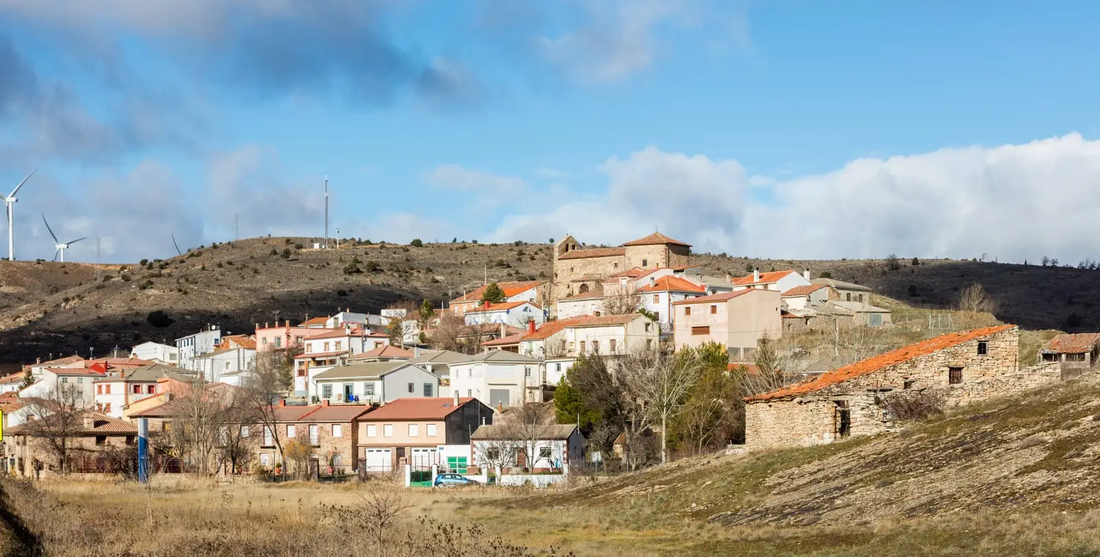
Anquela del Ducado is a small village at about 1,200 metres, between the Mesa and Mazarete valleys, beside the N-211. It belonged to the Tierra de Medinaceli and, from the 15th century, to the Dukes of Medinaceli, marking their eastern boundary with the Señorío de Molina. In the 13th century its saltworks were granted to the monastery of Buenafuente. Its municipality includes Tobillos.
A border village
Anquela del Ducado stands at about 1,200 metres, on a plateau cut by the valleys of the Mesa and the Mazarete. Its highest point is Pico Guijo, around 1,400 metres. The suffix indicates its heritage: after the 12th-century reconquest it belonged to the Tierra de Medinaceli, and from the 15th century to the Dukes of Medinaceli, marking for centuries their eastern boundary with the Señorío de Molina.
Salt
In the 13th century, Sancha Gómez, wife of Count Fernando Pérez de Lara and founder of the community of nuns at Buenafuente, granted the local saltworks to the monastery. For salt in the Señorío, see the saltworks.
Nearby
The municipality includes the hamlet of Tobillos. Very nearby are Selas, Mazarete, with the former La Cándida resin factory, and the Parameras de Maranchón.
Near Anquela del Ducado
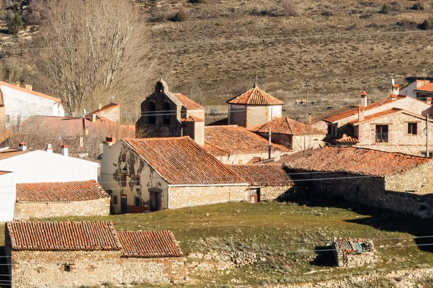
Church of the Virgen de la Minerva (Selas) and its altarpiece
SelasLa Cándida Resin Works (Mazarete)
MazareteLos Artesones valley (Ablanque): pine woods and sandstone along the Ablanquejo
AblanqueEl Palomar and Cerrada de los Santos (Aragoncillo): Celtiberian settlement and cemetery
AragoncilloCouncil Pen of Ciruelos del Pinar: communal justice among neighbours
Ciruelos del Pinar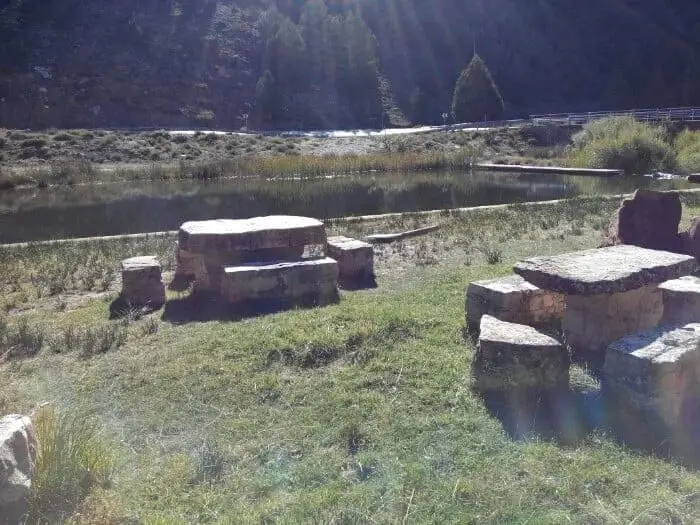
Fuente del Cura recreation area (Ablanque)
Ablanque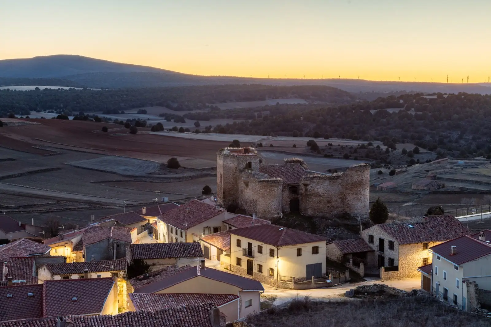
Castle of the Mala Sombra (Establés): history and legend
EstablésHermitage of the Virgen de Montesinos (Cobeta)
CobetaPopulation of Anquela del Ducado, 1842–2021
Anquela del Ducado reached a peak of 463 inhabitants in 1940 . In the 2021 census there were 63 , a decrease of 86%. This is the history told in the emptying of the Alto Tajo.
Climate in Anquela del Ducado month by month
2015–2024 averages from Copernicus ERA5 reanalysis for an altitude of approx. 1,193 m. Useful for planning, not a substitute for live forecasts.
Location
● Reference point · ● Villages · ● Places
Location diagram. Detailed map with tracks and names loads on zoom.
Reference villages: Selas · Mazarete · Aragoncillo · Ciruelos del Pinar.
Open the full map and historical layers →