Village · Guadalajara · 1,148 m
Establés
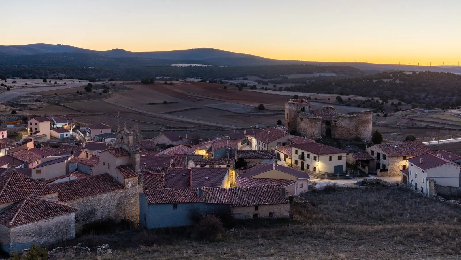
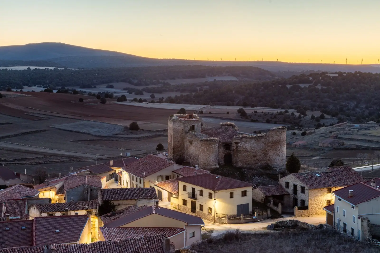
Establés, around 1,150 metres above sea level, watches the natural route rising from Aragón through the Mesa valley towards the heart of the Señorío de Molina. Its castle began as a watchtower in the 12th century, was seized by the Medinaceli family in the 15th and returned to the Común de Molina in 1481. Its population fell from almost 600 in 1900 to a few dozen. It includes Anchuela del Campo.
Traces in the village and its surroundings
Which eras you can read here
A single place can preserve traces from different eras. These layers connect what you see with the stories in the atlas.
What to see in Establés
- The castle of La Mala Sombra, whose legend recalls the abuses of a Medinaceli captain.
- The edge of the Parameras de Maranchón, reaching into the municipality.
A disputed village
Establés stands along a natural route ascending from Aragon via the Mesa river into the core of the Señorío. For that reason, a watchtower was built on high ground in the first half of the 12th century, with the village expanding at its base. In 1432, Álvaro de Luna ordered repairs to the castle. Shortly after, Gastón de la Cerda, Count of Medinaceli, took it by force. The Común de Molina repeatedly petitioned the Catholic Monarchs for its return. Following disputes with Medinaceli wardens and minor skirmishes, Establés returned to the Común in 1481.
Nearby
The municipality includes Anchuela del Campo. Nearby lie Amayas, with its elm, Aragoncillo and Tartanedo.
Places in and around Establés
Routes linked to Establés
Near Establés
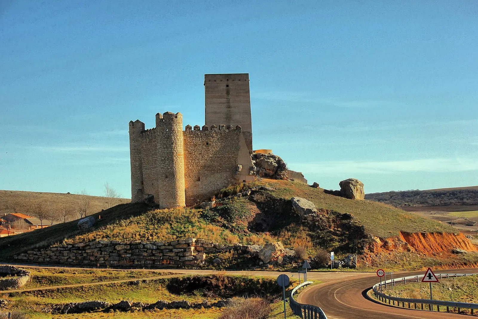
Tormo de Mochales: The Rock Tower of the Mesa Valley
MochalesAmayas Elm: a survivor of Dutch elm disease
AmayasChurch of Santiago in Labros: a recovered Romanesque gem
LabrosCasa de los Utrera: the Baroque palace of Tartanedo
Tartanedo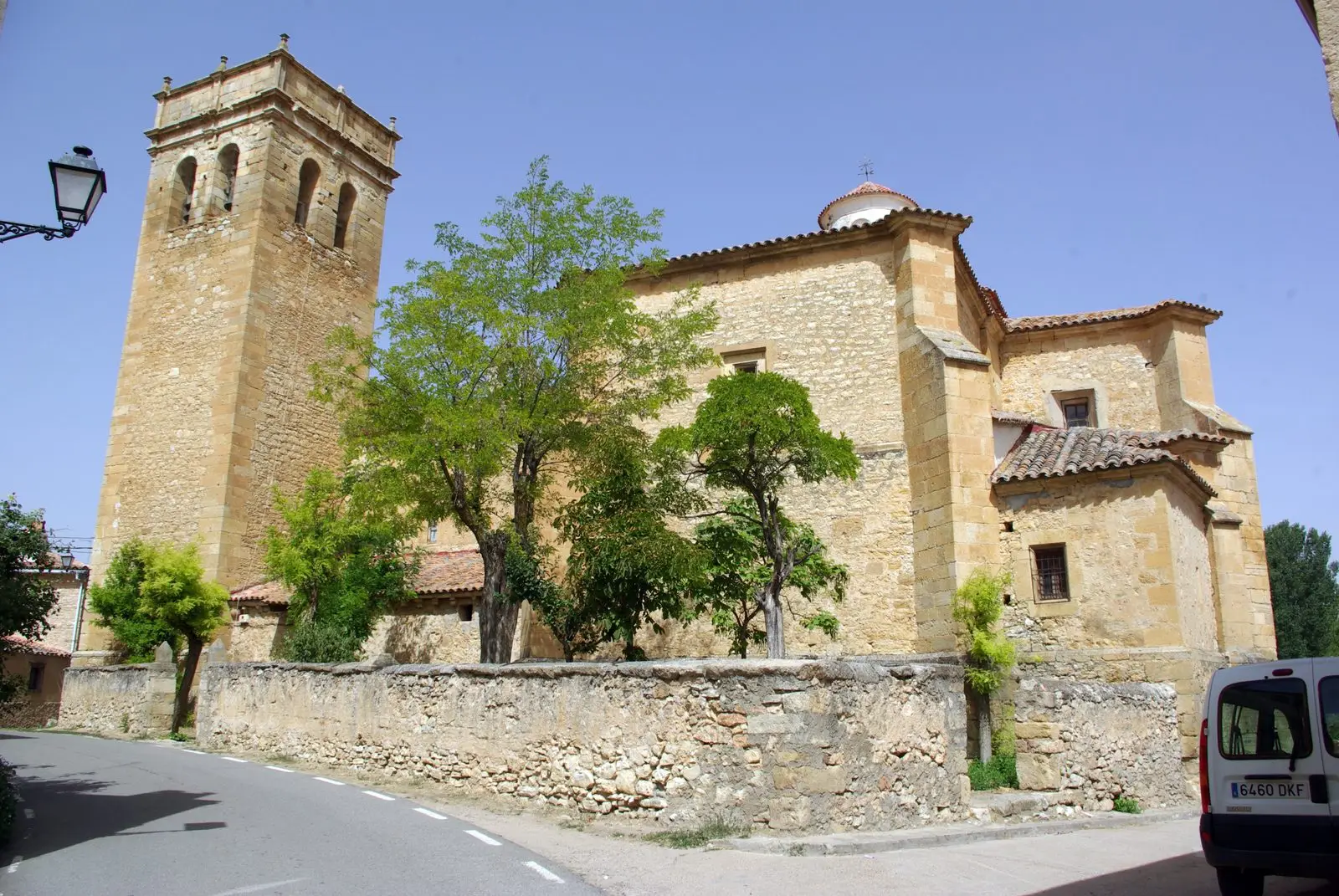
Church of San Bartolomé (Tartanedo): Romanesque portal with carved beasts
TartanedoEl Palomar and Cerrada de los Santos (Aragoncillo): Celtiberian settlement and cemetery
Aragoncillo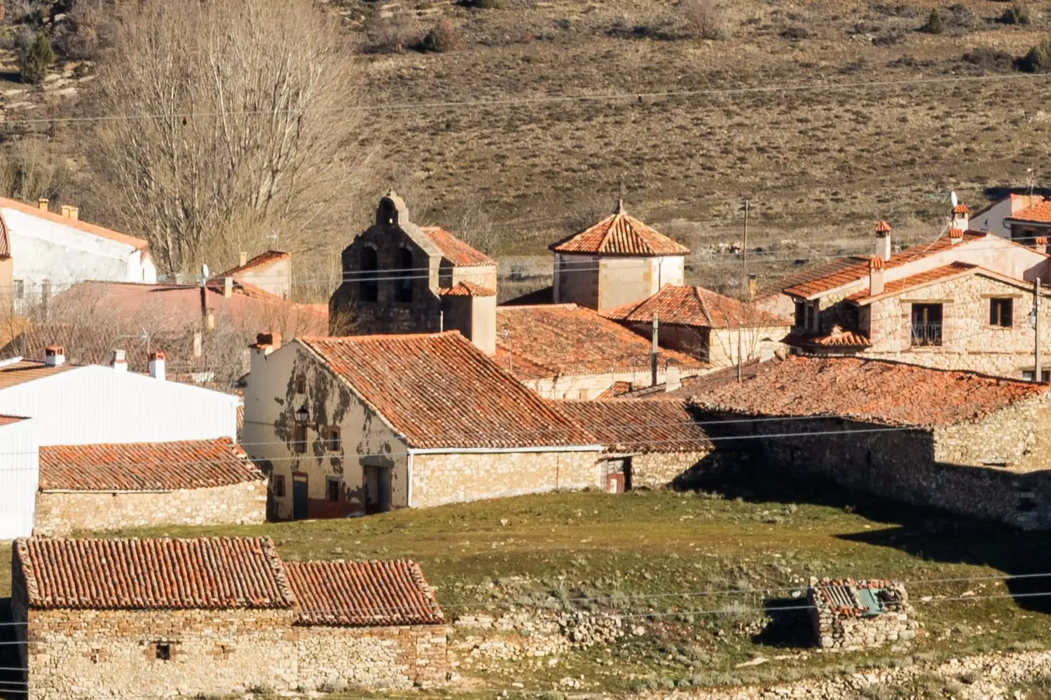
Church of the Virgen de la Minerva (Selas) and its altarpiece
SelasEl Turmielo (Aragoncillo): watchtower and shelter of early Molina history
AragoncilloPopulation of Establés, 1842–2021
Establés reached a peak of 682 inhabitants in 1877 . In the 2021 census there were 29 , a decrease of 96%. This is the history told in the emptying of the Alto Tajo.
Climate in Establés month by month
2015–2024 averages from Copernicus ERA5 reanalysis for an altitude of approx. 1,148 m. Useful for planning, not a substitute for live forecasts.
Location
● Reference point · ● Villages · ● Places
Location diagram. Detailed map with tracks and names loads on zoom.
Reference villages: Amayas · Aragoncillo · Tartanedo · Selas.
Open the full map and historical layers →