Village · Guadalajara · 1,222 m
Selas
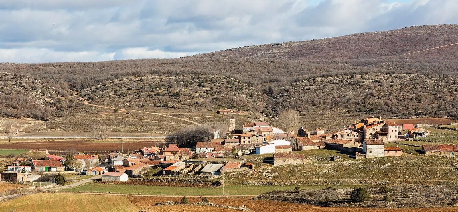
Selas, around 1,220 metres beside the N-211, is the municipality where the Mesa river rises. Its land ranges from 1,472 metres in Sierra de Selas to 1,180 along the Mesa, with its southern tip inside Alto Tajo Natural Park. The Virgen de la Minerva church holds a 16th-century altarpiece. Selas was among the municipalities affected by the great fire of 2005.
1936–1939 · memory of the territory
The war in the village memory
The war also reached the work of the pine woods. Among LURE’s resin workers called up for military service were 3 workers from this village. Their story connects the memory of the woods with those who had to leave their trade during the conflict.
Source: Berlanga, capítulo 9, pp. 346–347.
Read the story of the river frontline →What to see in Selas
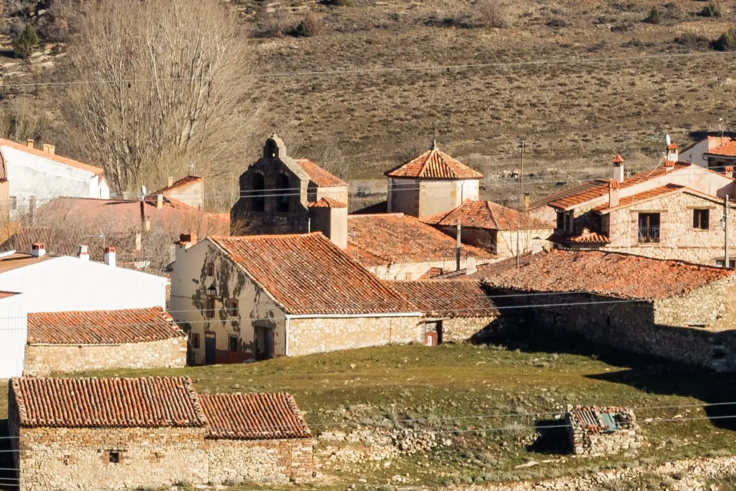
- The church of Virgen de la Minerva, from the mid-16th century, with its main altarpiece.
- The source of the Mesa River, which rises in the municipal territory and flows down towards Mochales, Villel, and Aragon.
Between mountain range and natural park
Selas sits at around 1,220 metres. Its municipal territory rises up to 1,472 metres in the Sierra de Selas and descends to 1,180 along the Mesa riverbank; its southern edge enters the Alto Tajo Natural Park. In July 2005 it was one of the villages affected by the major forest fire in the Guadalajara pine woodlands, in which eleven members of a fire brigade lost their lives.
Festivities
The Virgen de la Minerva, on the Friday of Corpus Christi week, and San Roque, on August 16th.
Nearby
Anquela del Ducado, three kilometres away, and the Parameras de Maranchón.
Places in and around Selas
Near Selas
El Palomar and Cerrada de los Santos (Aragoncillo): Celtiberian settlement and cemetery
AragoncilloLa Cándida Resin Works (Mazarete)
MazareteHermitage of the Virgen de Montesinos (Cobeta)
CobetaEl Turmielo (Aragoncillo): watchtower and shelter of early Molina history
Aragoncillo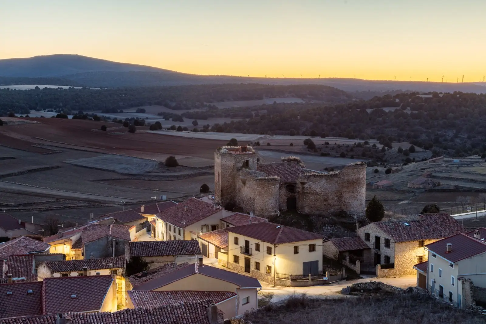
Castle of the Mala Sombra (Establés): history and legend
EstablésLos Artesones valley (Ablanque): pine woods and sandstone along the Ablanquejo
Ablanque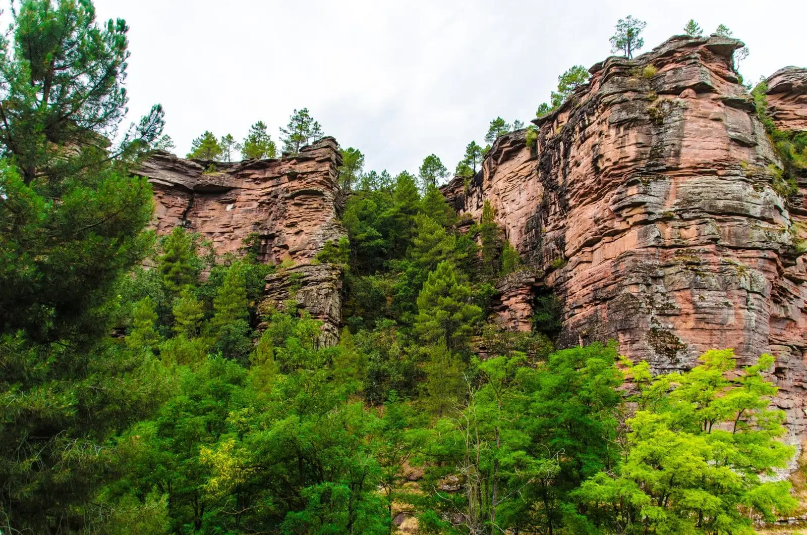
Barranco del Arandilla (Cobeta): a singular rodeno sandstone canyon
Cobeta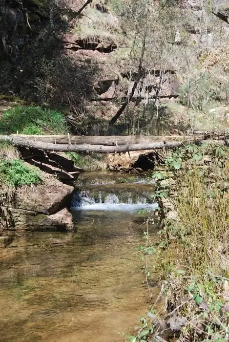
Virgen de Montesinos recreation area (Cobeta)
CobetaPopulation of Selas, 1842–2021
Selas reached a peak of 390 inhabitants in 1910 . In the 2021 census there were 44 , a decrease of 89%. This is the history told in the emptying of the Alto Tajo.
Climate in Selas month by month
2015–2024 averages from Copernicus ERA5 reanalysis for an altitude of approx. 1,222 m. Useful for planning, not a substitute for live forecasts.
Location
● Reference point · ● Villages · ● Places
Location diagram. Detailed map with tracks and names loads on zoom.
Reference villages: Anquela del Ducado · Aragoncillo · Mazarete · Torremocha del Pinar.
Open the full map and historical layers →