Village · Guadalajara · 1,211 m
Mazarete
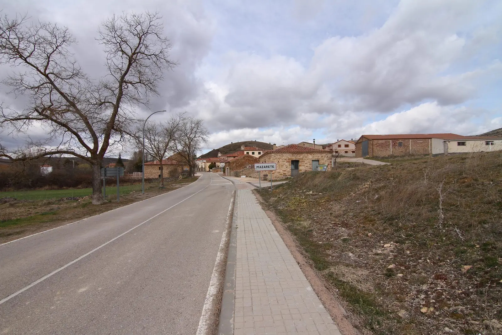
Mazarete, around 1,210 metres beside the N-211, had good grazing meadows and oak and pine woods in the 19th century. La Cándida, one of Guadalajara’s large resin-distilling factories, operated within its municipality, founded around 1882 and closed in 1976. The 16th-century Asunción church and San Mamés and San Roque chapels survive.
Lands and landscapes
From here, follow the memory of the territory
These readings connect Mazarete with the history, work, and villages around it.
Traces in the village and its surroundings
Which eras you can read here
A single place can preserve traces from different eras. These layers connect what you see with the stories in the atlas.
What to see in Mazarete
- The La Cándida resin factory, founded by engineer Calixto Rodríguez and closed in 1976.
- The church of Nuestra Señora de la Asunción, 16th century.
- The hermitages of San Mamés and San Roque.
Pines and resin
The village stands at around 1,210 metres, in a municipal territory rising from 1,150 to nearly 1,400 metres at Cabeza Almena. Mid-19th-century records noted “natural meadows with fine pastures” and two forests, one of oak and another of pine. From those pine woods came raw resin for La Cándida. The trade’s history is recounted in the resin tappers. During the Civil War, between January and February 1938, a battalion of Catalan Requetés was billeted here.
Nearby
Places in and around Mazarete
Near Mazarete
Council Pen of Ciruelos del Pinar: communal justice among neighbours
Ciruelos del PinarEl Mirón Paleontological Museum (Maranchón)
Maranchón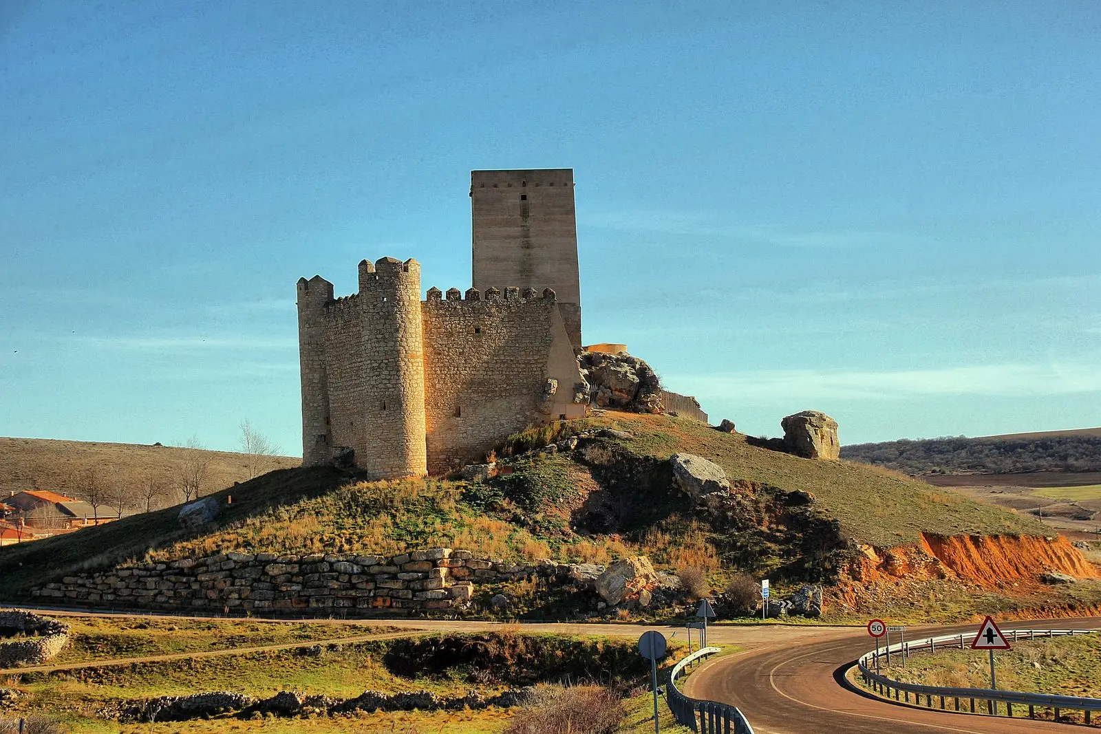
GR-168, Camino Real de Aragón, through the Sexma del Campo
58.9 km · Linear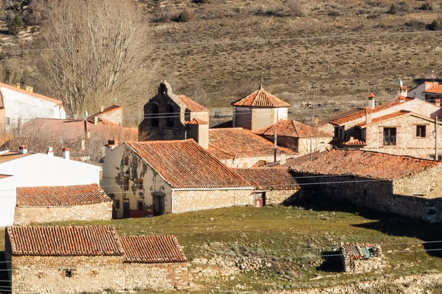
Church of the Virgen de la Minerva (Selas) and its altarpiece
SelasMaranchón Juniper Forest: the largest Spanish juniper woodland in Europe
MaranchónLos Artesones valley (Ablanque): pine woods and sandstone along the Ablanquejo
AblanqueParameras de Maranchón, Hoz del Mesa, and Aragoncillo: land of Dupont's lark
MaranchónLuzón School Museum: the 1950s classroom
LuzónPopulation of Mazarete, 1842–2021
Mazarete reached a peak of 487 inhabitants in 1930 . In the 2021 census there were 32 , a decrease of 93%. This is the history told in the emptying of the Alto Tajo.
Climate in Mazarete month by month
2015–2024 averages from Copernicus ERA5 reanalysis for an altitude of approx. 1,211 m. Useful for planning, not a substitute for live forecasts.
Location
● Reference point · ● Villages · ● Places
Location diagram. Detailed map with tracks and names loads on zoom.
Reference villages: Anquela del Ducado · Ciruelos del Pinar · Maranchón · Selas.
Open the full map and historical layers →