Village · Guadalajara · 1,259 m
Aragoncillo
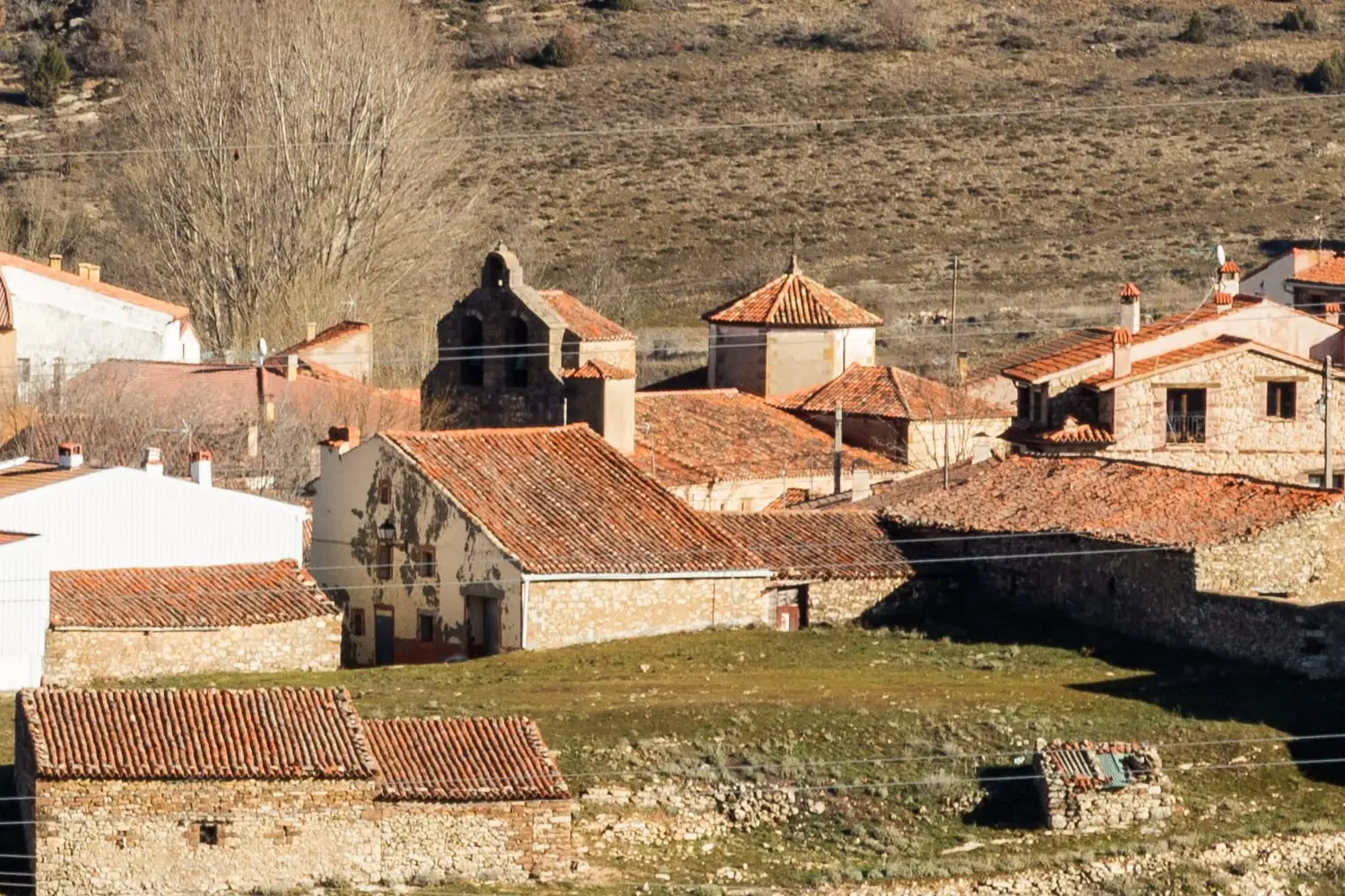
Aragoncillo is a village in the Señorío de Molina at about 1,260 metres, near Selas and Torremocha del Pinar. In its area lies a 300-million-year-old fossil conifer forest, one of the treasures of the Molina-Alto Tajo Geopark, buried by volcanic ash and turned to stone.
Rivers and basins
The thread of water from Aragoncillo
Follow these watercourses towards their confluences, villages, and basin history.
Traces in the village and its surroundings
Which eras you can read here
A single place can preserve traces from different eras. These layers connect what you see with the stories in the atlas.
What to see
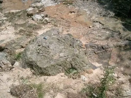
The fossil forest: Paleozoic conifer trunks turned to stone following a volcanic eruption. Check visiting guidance before going, as it is situated between Aragoncillo and Rillo de Gallo.
Also the watchtower and rock shelter of El Turmielo.
Nearby
The wet meadows microreserve of Torremocha del Pinar and the rock engravings of Peña Escrita in Canales de Molina.
More to see
In the municipality: the Celtiberian settlement of El Palomar and its necropolis.
Places in and around Aragoncillo
Fossil forest of Rillo de Gallo: a 300-million-year-old Pompeii
AragoncilloEl Palomar and Cerrada de los Santos (Aragoncillo): Celtiberian settlement and cemetery
AragoncilloEl Turmielo (Aragoncillo): watchtower and shelter of early Molina history
AragoncilloNear Aragoncillo
Church of the Virgen de la Minerva (Selas) and its altarpiece
Selas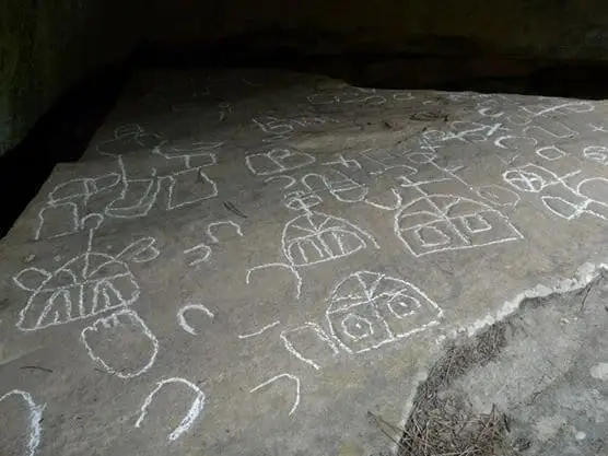
Peña Escrita (Canales de Molina): rock engravings with human figures
Canales de MolinaHermitage of the Virgen de Montesinos (Cobeta)
Cobeta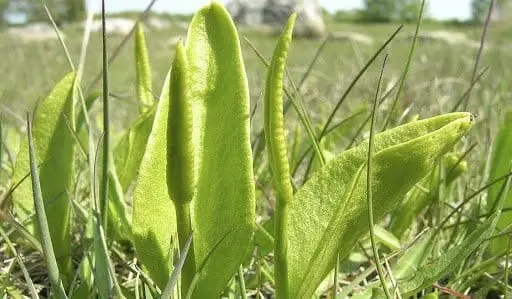
Wet Meadows Micro-Reserve (Torremocha del Pinar)
Torremocha del PinarPardos mines: Mina Estrella and its copper minerals
Pardos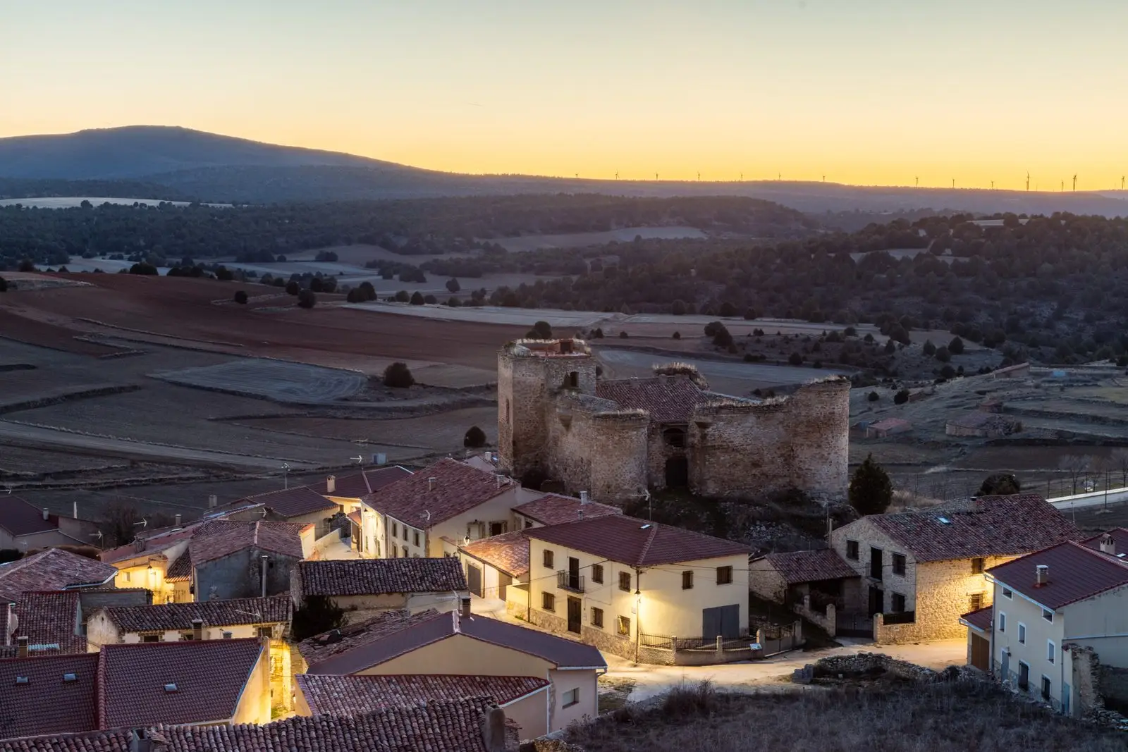
Castle of the Mala Sombra (Establés): history and legend
Establés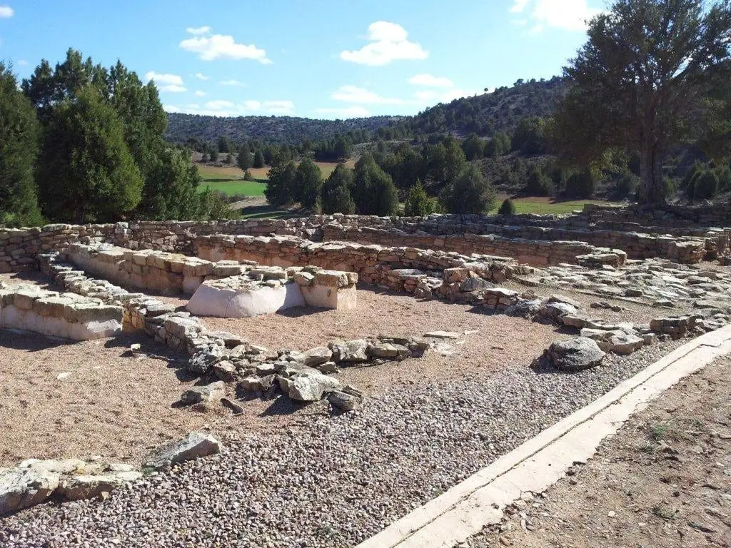
Celtiberian hillfort of El Ceremeño (Herrería)
Herreria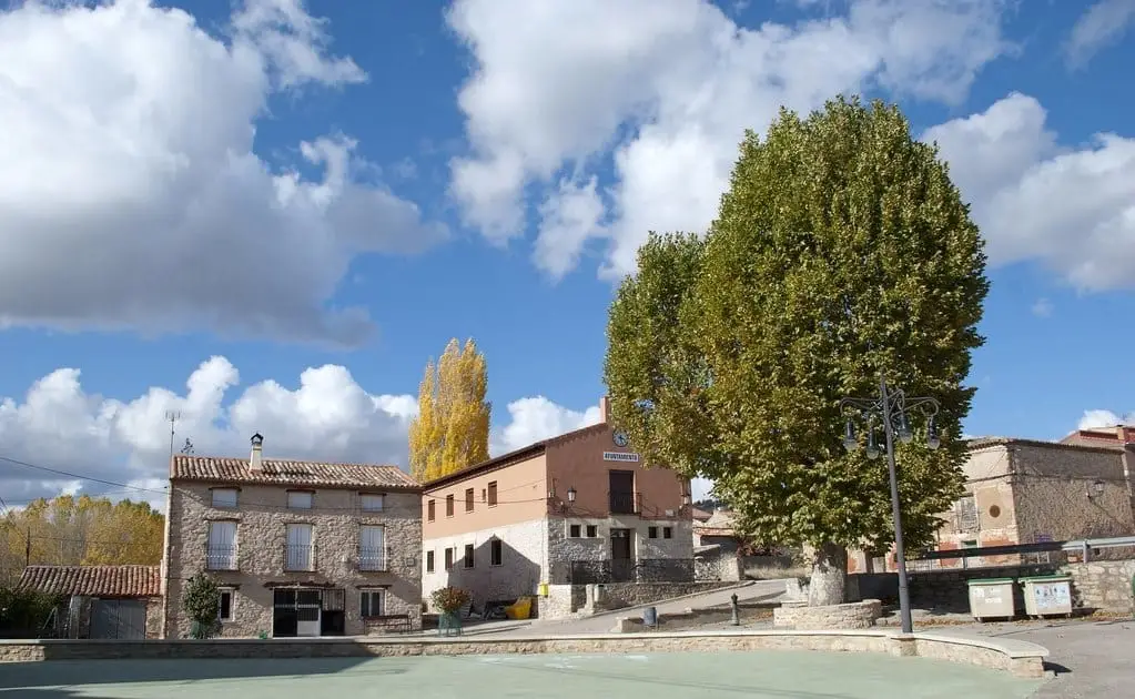
El Ceremeño Museum (Herrería)
HerreriaClimate in Aragoncillo month by month
2015–2024 averages from Copernicus ERA5 reanalysis for an altitude of approx. 1,259 m. Useful for planning, not a substitute for live forecasts.
Location
● Reference point · ● Villages · ● Places
Location diagram. Detailed map with tracks and names loads on zoom.
Reference villages: Torremocha del Pinar · Selas · Canales de Molina · Anquela del Ducado.
Open the full map and historical layers →