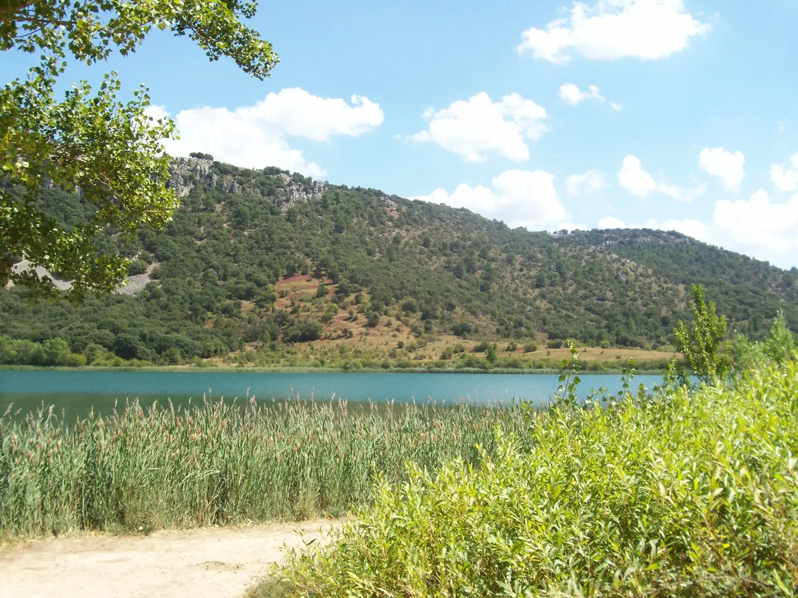
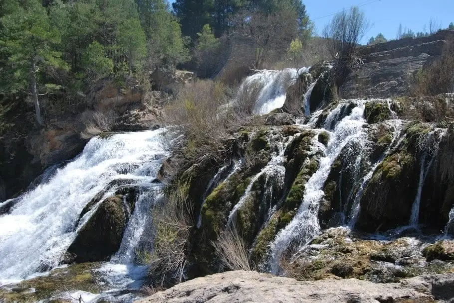
Water source · Cueva del Hierro
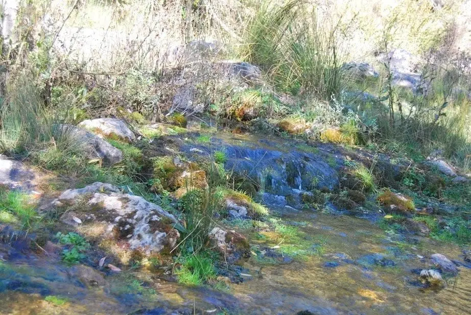
Source of the Guadiela River (Cueva del Hierro)
The Guadiela River rises very near Cueva del Hierro in the Serranía de Cuenca. It is one of the main water sources for the upper Tagus: it flows for about 115 km, creates the Buendía reservoir, and meets the Tagus in Bolarque. Locally they say: «The Tagus takes the fame, but the Guadiela brings the water».
Rivers and basins
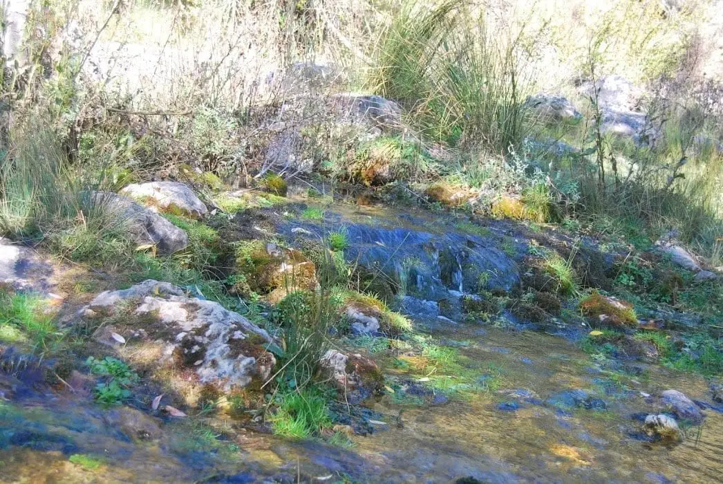
The thread of water from Source of the Guadiela River (Cueva del Hierro)
Follow these watercourses towards their confluences, villages, and basin history.
- Municipality
- Cueva del Hierro
- Province
- Cuenca
- Altitude
- 1,429 m
- 115 km
- Buendía reservoir
- Major Tagus tributary
- PR CU 05
The river that brings the water
The Guadiela is among the rivers contributing the most water to the upper Tagus basin. Hence the local saying: «The Tagus takes the fame, but the Guadiela brings the water». Over a course of roughly 115 km, it fills the Buendía reservoir and joins the Tagus at Bolarque.
How to get there
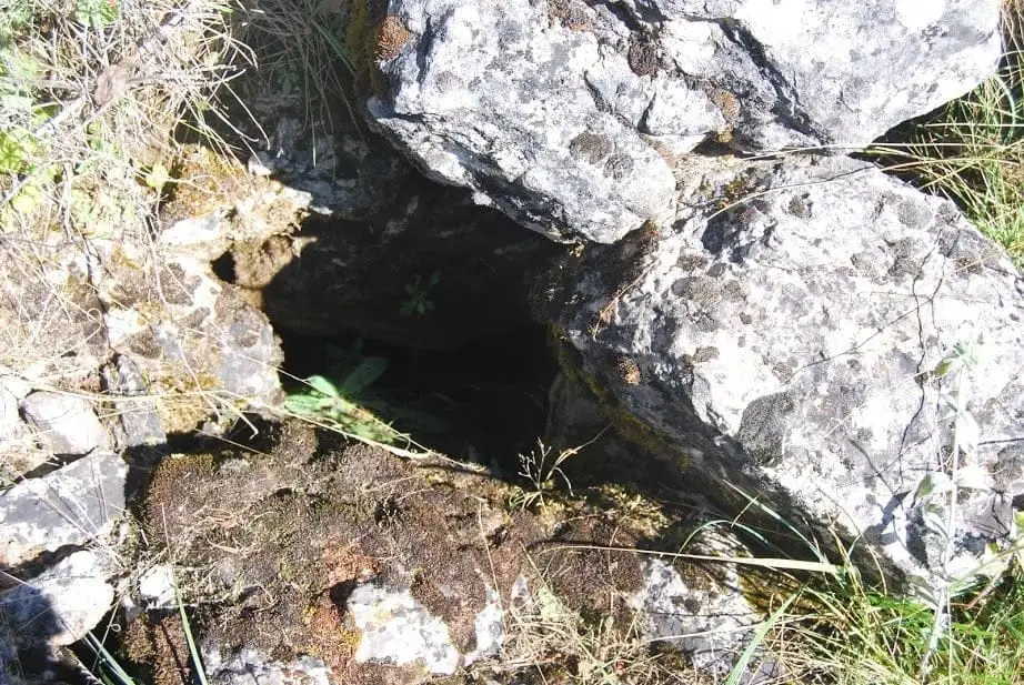
The best approach is to travel to Cueva del Hierro, famous for its Roman mine, and follow the walking path toward the river spring. Nearby is the Nacimiento del Guadiela recreation area.
Photo: El Observario
Location
● Reference point · ● Villages · ● Places
Location diagram. Detailed map with tracks and names loads on zoom.
Reference villages: Cueva del Hierro · Masegosa · Beteta · Peralejos de las Truchas.
Open the full map and historical layers →