Village · Cuenca · 1,599 m
Masegosa
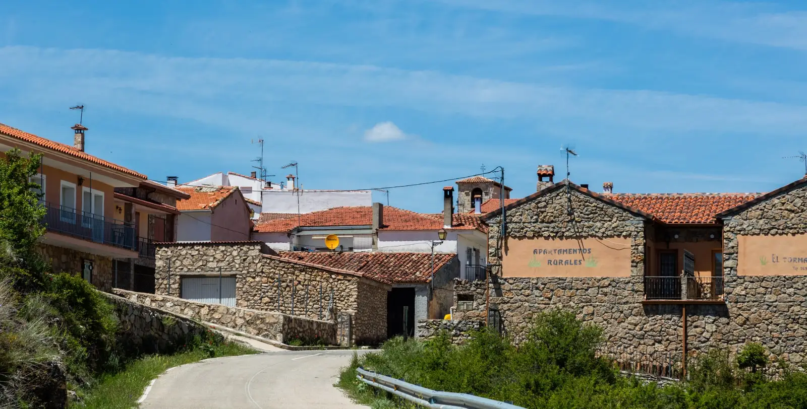
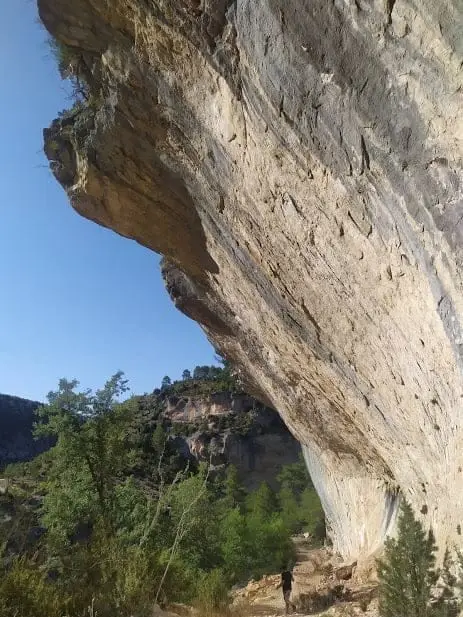
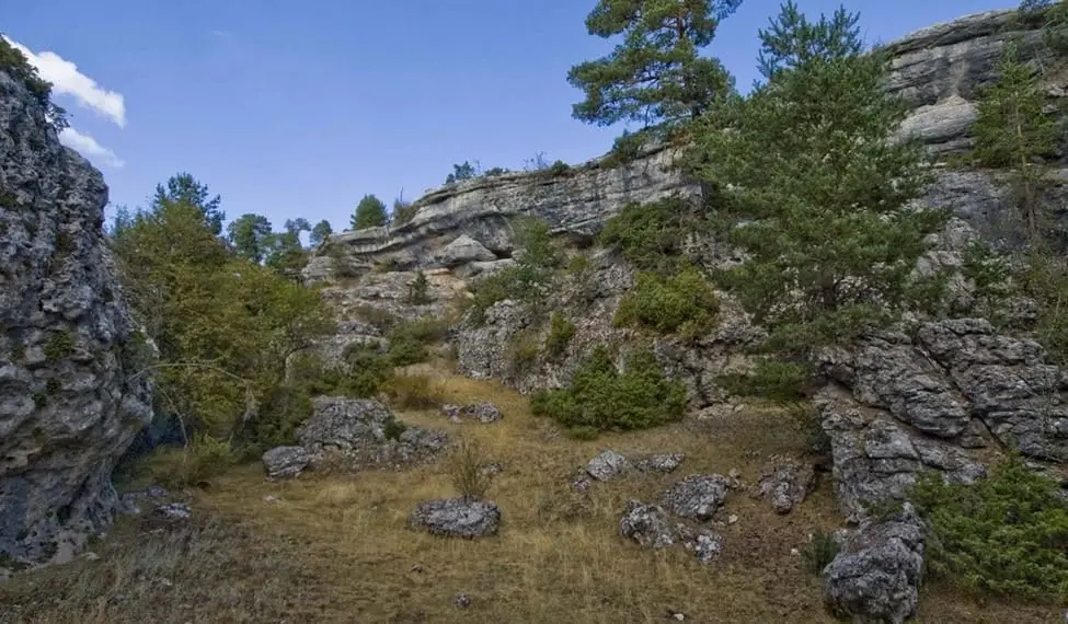
Masegosa is a Serranía de Cuenca village around 1,600 metres above sea level, facing Guadalajara across the Tagus. Its territory includes Muela Pinilla y del Puntal Natural Monument, a 640-hectare karst landscape, and part of Barranco del Horcajo, with lime trees and yews.
What to see
- Muela Pinilla y del Puntal, a Natural Monument since 2003.
- Barranco del Horcajo.
Routes
Trail 11, Barranco del Horcajo, begins nearby, from Peralejos.
Places in and around Masegosa
Near Masegosa
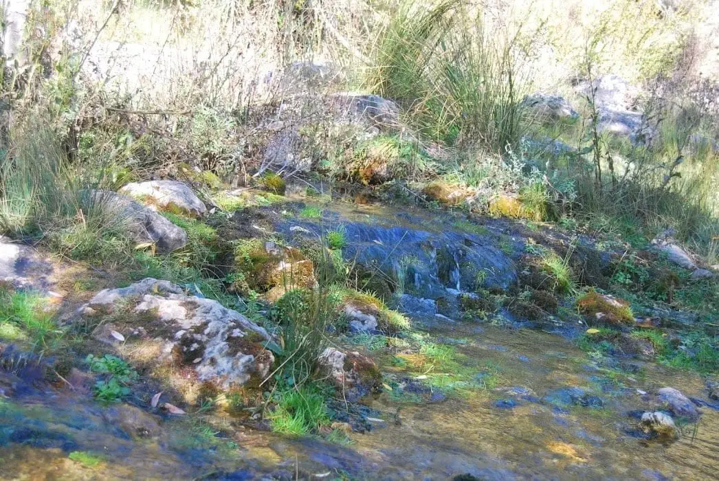
Source of the Guadiela River (Cueva del Hierro)
Cueva del Hierro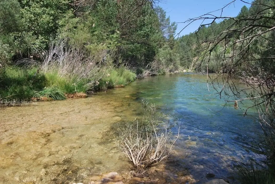
Las Juntas of the Tagus and Hoz Seca: where the Tajillo becomes the Tagus
Checa, Peralejos de las Truchas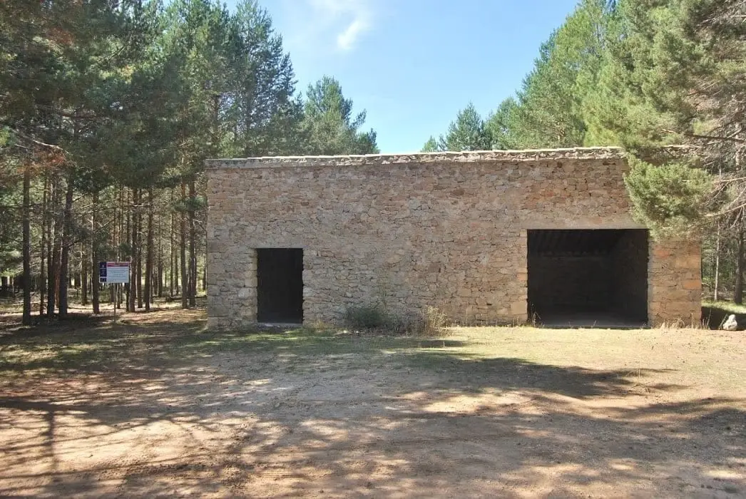
Source of the Guadiela recreation area
Cueva del Hierro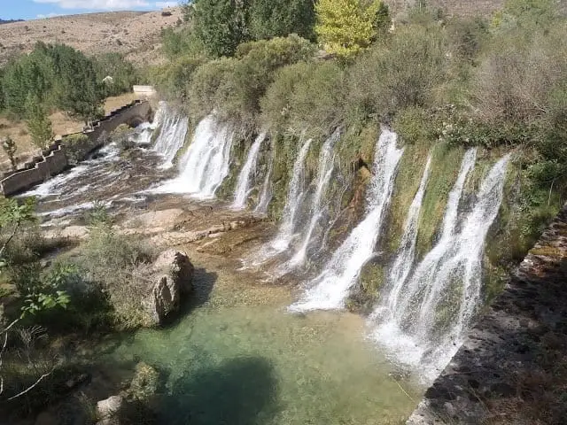
Cascada del Molino de Arriba (Peralejos de las Truchas)
Peralejos de las Truchas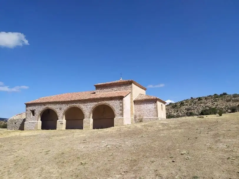
Hermitage of the Virgen de Ribagorda (Peralejos de las Truchas)
Peralejos de las Truchas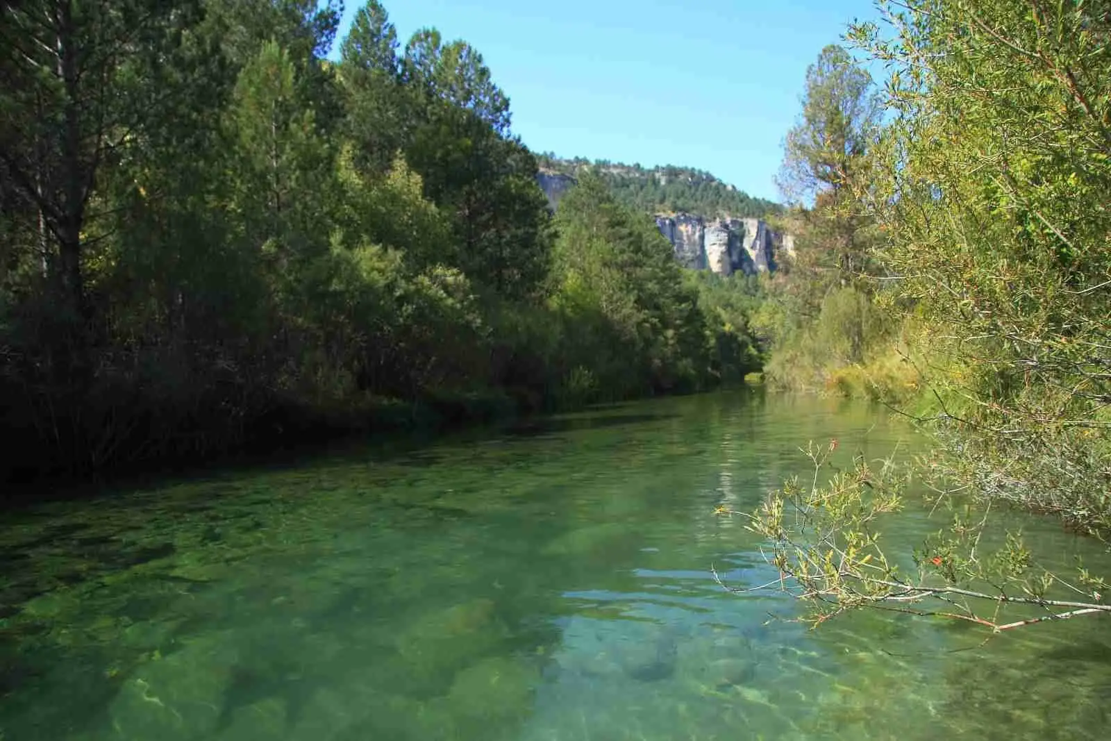
El Vado recreation area (Peralejos de las Truchas)
Peralejos de las Truchas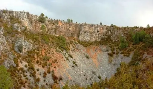
Torcas de Lagunaseca: The Lesser-Known Karst of Cuenca
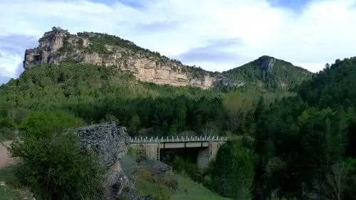
Puente del Martinete: the first major bridge over the Tagus
Peralejos de las TruchasPopulation of Masegosa, 1842–2021
Masegosa reached a peak of 436 inhabitants in 1960 . In the 2021 census there were 62 , a decrease of 86%. This is the history told in the emptying of the Alto Tajo.
Climate in Masegosa month by month
2015–2024 averages from Copernicus ERA5 reanalysis for an altitude of approx. 1,599 m. Useful for planning, not a substitute for live forecasts.
Location
● Reference point · ● Villages · ● Places
Location diagram. Detailed map with tracks and names loads on zoom.
Reference villages: Peralejos de las Truchas · Cueva del Hierro · Beteta · Vega del Codorno.
Open the full map and historical layers →