Recreation area · Cueva del Hierro
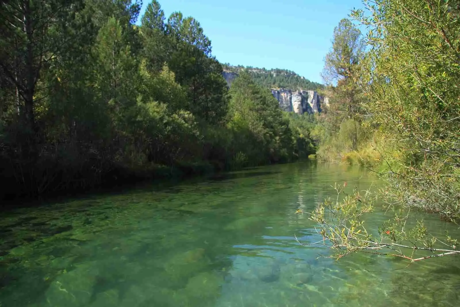
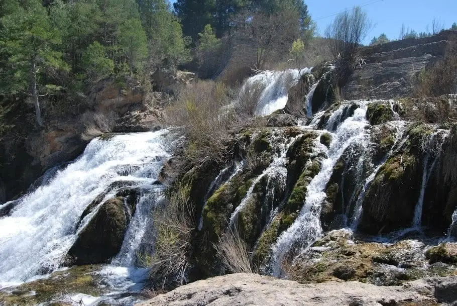
Source of the Guadiela recreation area
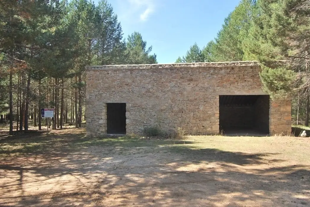
Picnic area in shaded pine woods on the opposite bank from the source of the Guadiela River, less than a kilometre from the PR CU 05 junction near Cueva del Hierro. A sealed, renaturalised former landfill with shelter and stone tables.
- Municipality
- Cueva del Hierro
- Province
- Cuenca
- Altitude
- 1,394 m
- Renaturalised landfill
- Trail shelter
- PR CU 05
An example of environmental recovery
Where pine forest and picnic tables stand today there was once a landfill, now sealed and rewilded. Features a shelter and stone tables; a constructed fountain exists, though water flow is seasonal. Very close to the source of the Guadiela River.
Good conduct
The Natural Park provides no rubbish collection service: carry all waste back to village bins. Lighting fires is permitted solely in authorised facilities and outside high-risk fire seasons; check current regulations.
Location
● Reference point · ● Villages · ● Places
Location diagram. Detailed map with tracks and names loads on zoom.
Reference villages: Cueva del Hierro · Masegosa · Beteta · Poveda de la Sierra.
Open the full map and historical layers →