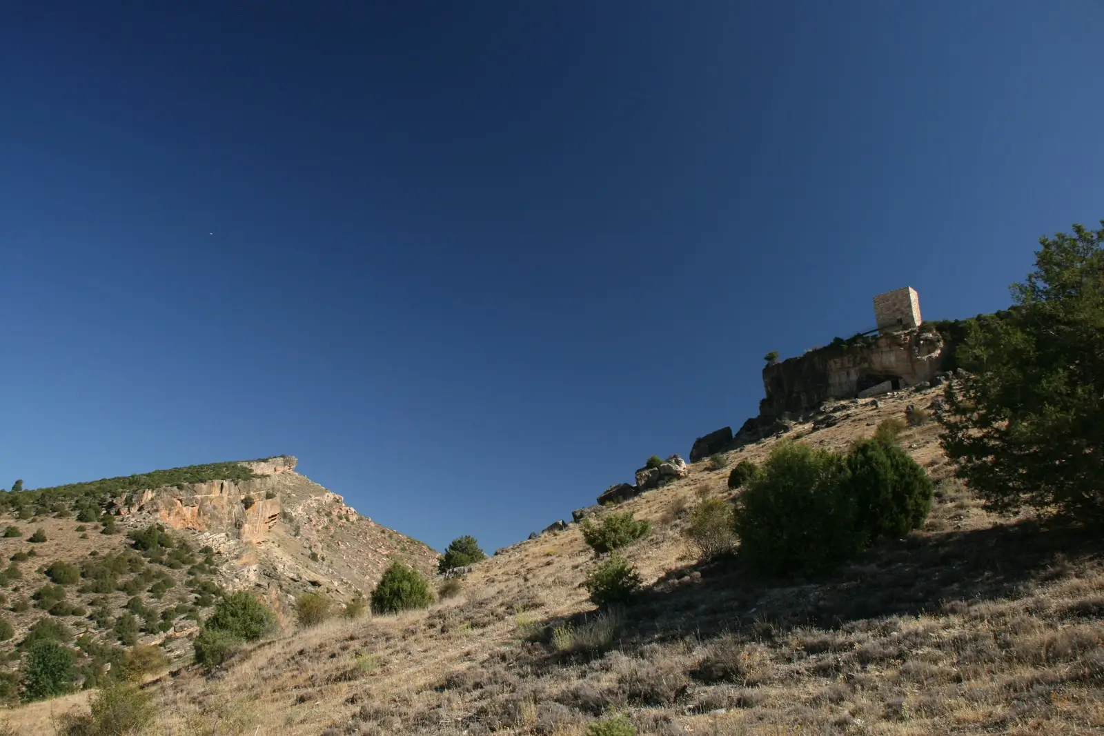
Viewpoint · Ablanque
Mirador del Cerro (Ablanque) and the chozón museum
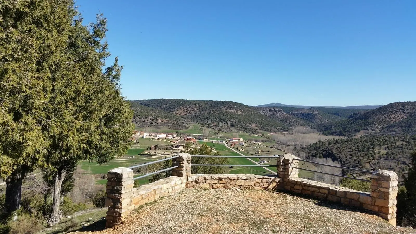
The Mirador del Cerro is a natural ridge overlooking the Ablanquejo River valley, with views of Ablanque and a succession of pine-covered hills. Reached along a track turning off the road from Ablanque to Buenafuente del Sistal after the river bridge; the Ablanque chozón museum sits along the climb.
Lands and landscapes
From here, follow the memory of the territory
These readings connect Mirador del Cerro (Ablanque) and the chozón museum with the history, work, and villages around it.
- Best season
- All year round
- Municipality
- Ablanque
- Province
- Guadalajara
- Ablanquejo valley
- Chozón museum
- Walk, bike, or 4x4
- Short walk
The Ablanquejo valley at your feet
From the hill you can see Ablanque, the Ablanquejo River valley, and a landscape of forests and limestone ridges that seems to go on forever.
How to get up
Take the paved road from Ablanque toward Buenafuente del Sistal. After crossing the bridge over the Ablanquejo, a dirt track branches right, leading up to the viewpoint and to the Chozón Museum, a reconstructed juniper shepherd hut illustrating traditional rural life. You can go on foot, by bike, or in a 4x4; from the village it is a pleasant walk of just a few kilometres.
Location
● Reference point · ● Villages · ● Places
Location diagram. Detailed map with tracks and names loads on zoom.
Approximate position: village centre.
Reference villages: Ablanque · Riba de Saelices · Olmeda de Cobeta · Saelices de la Sal.
Open the full map and historical layers →Nearby routes
All routes →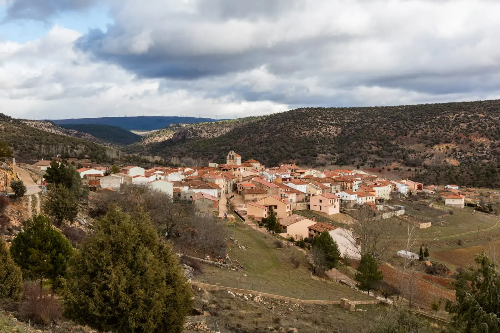
Ethnographic route 1: the chozones of Ablanque
3 km · 3 h · LinearTrail 5: the chozones of La Loma (Riba de Saelices)
10.5 km · 4 h · Circular