Route · Riba de Saelices, Ablanque
Sendero 4: Trail 4: Valle de los Milagros (Riba de Saelices)
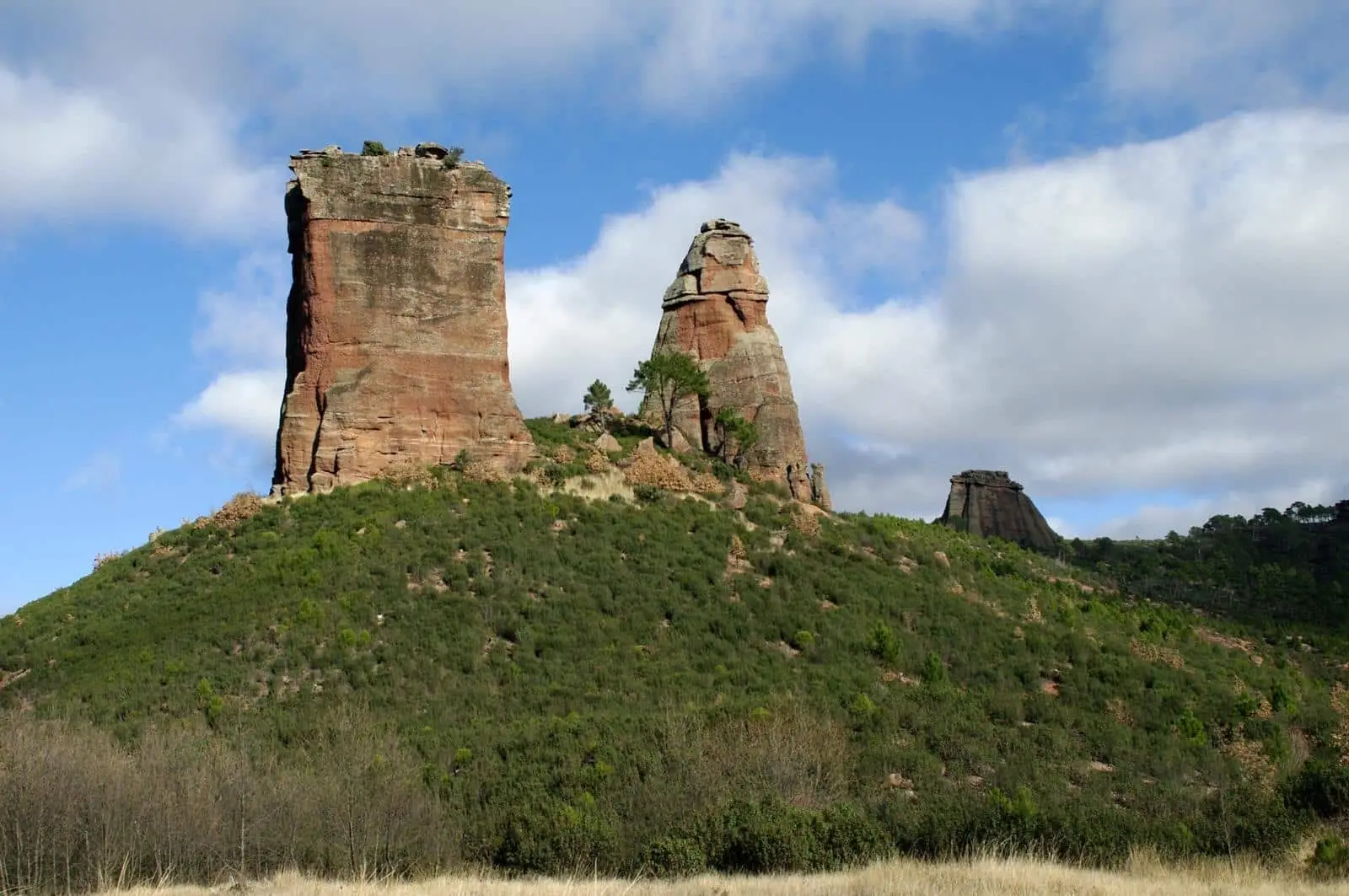
Sendero 4 travels through Valle de los Milagros from Cueva de los Casares recreation area in Riba de Saelices to Puntal de los Milagros: 3 km one way, linear, low difficulty. Park notice: 2024 floods damaged the river stepping stones; hiking not advised until further notice.
Lands and landscapes
From here, follow the memory of the territory
These readings connect Trail 4: Valle de los Milagros (Riba de Saelices) with the history, work, and villages around it.
- Code
- Sendero 4
- Distance
- 3 km
- Duration
- 1.5 h
- Trail type
- Linear
- Difficulty
- Easy
Walking duration without transfers or stops. Check in the official source whether distance and time include the return leg. Difficulty rated according to the official source; verify its conditions and notices. “Easy” does not imply wheelchair or stroller accessibility.
- Sendero 4
- Not advised until further notice
- Linares River
- Cueva de los Casares
- Formerly RG PNAT 2
Natural Park advisory
In 2024 a flash flood altered the course of the Linares River, washing away several stone stepping stones used to cross it. With the fords in this state, the Park advises against hiking this trail until further notice. Check the official trail sheet before setting out.
The valley
When passable, it provides an easy, partially shaded walk highly enjoyable for families. Starts at the recreation area beside Cueva de los Casares and proceeds along the valley floor between red sandstone cliffs to the spires of Los Milagros, where walkers turn back. It is also an official georoute: sharing interpretive panels with Georuta 2, which starts in the village. An excellent spot for cliff-nesting raptors and forest birds.
The cave
Cueva de los Casares, with its Paleolithic cave engravings, is open exclusively by prior appointment via the Archaeological Network of Castilla-La Mancha.
Before you set out
Carry water, mountain footwear, and download the GPS track in advance: mobile reception is absent in many areas. Check the forecast on Today in the Alto Tajo and the official trail sheet for notices and closures, and respect seasonal restrictions during raptor breeding periods.
Official route · Parque Natural del Alto Tajo (Junta de Castilla-La Mancha). Description, track and notices on the official guide. Before setting out, verify there whether changes or closures apply.
Frequently asked questions
Can Valle de los Milagros trail be walked currently?
The Natural Park advises against walking it until further notice: a 2024 flood on the Linares River washed away the stone stepping stones at the fords. Check the official park page before visiting.
Location
● Reference point · ● Villages · ● Places
Location diagram. Detailed map with tracks and names loads on zoom.
Approximate position: village centre.
This guide displays the reference location; no route track is available.
Reference villages: Riba de Saelices · Saelices de la Sal · Ablanque · Esplegares.
Open the full map and historical layers →