Route · Riba de Saelices
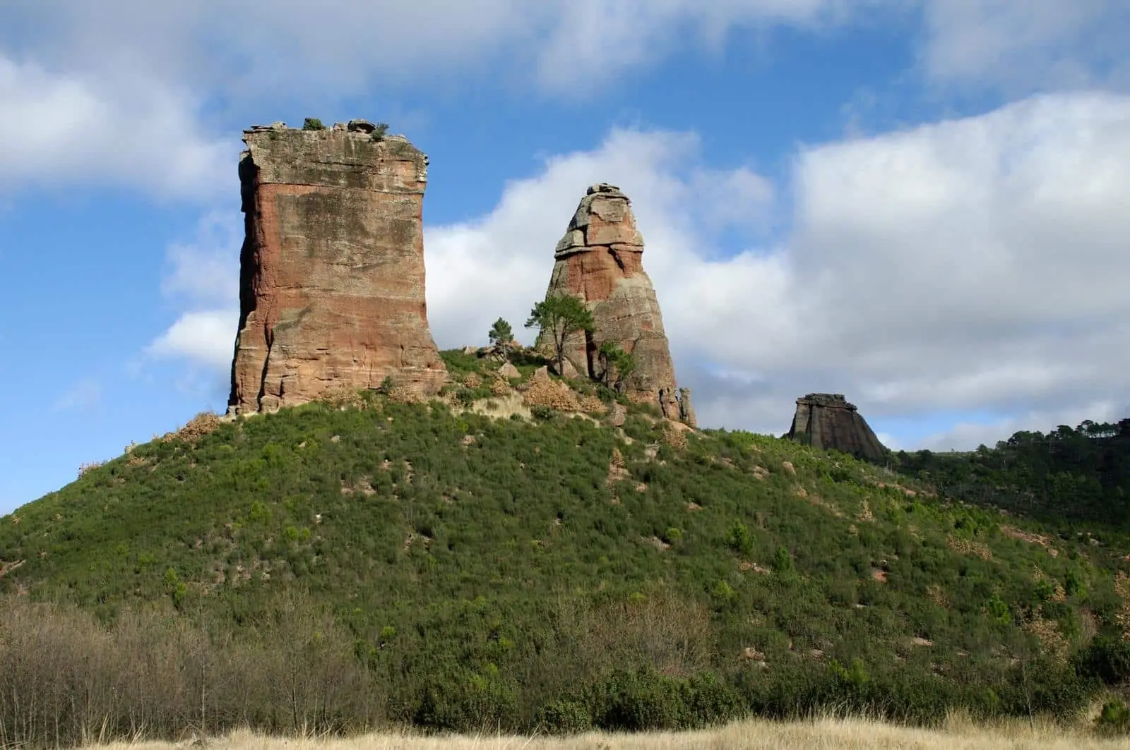
Sendero 5: Trail 5: the chozones of La Loma (Riba de Saelices)
Signposted circular route of 10.5 km and 3 to 4 hours from La Loma in Riba de Saelices, low difficulty. Follows abandoned tracks over Alto de la Cruz and Rivagorda ridges above the dry Ablanquejo valley, among junipers and oaks with chozones, caves, and viewpoints. No water.
Lands and landscapes
From here, follow the memory of the territory
These readings connect Trail 5: the chozones of La Loma (Riba de Saelices) with the history, work, and villages around it.
This place across time
Which eras you can read here
A single place can preserve traces from different eras. These layers connect what you see with the stories in the atlas.
- Code
- Sendero 5
- Distance
- 10.5 km
- Elevation gain
- 401 m
- Duration
- 4 h
- Trail type
- Circular
- Difficulty
- Easy
- Altitude
- 953 m
Walking duration without transfers or stops. Difficulty rated according to the official source; verify its conditions and notices. “Easy” does not imply wheelchair or stroller accessibility.
- Sendero 5
- Circular, low difficulty
- Chozones and rock shelters
- No water
- Formerly RE PNAT 3
Across the hills of La Loma
Starts and ends in La Loma, a hamlet of Riba de Saelices. Climbs along disused tracks to the high ridges separating the village from the Ablanquejo River valley. For several kilometres you walk through open Spanish juniper and holm oak woodland preserving pastoral chozones and covachos (natural rock shelters), alongside natural viewpoints offering broad horizons.
Practical advice
Well signposted, though carrying a GPS track is advisable: the final loop receives less foot traffic and has fewer markers. You can drive to the plateau parking area to shorten the route, though the track degrades with rain. There is no shade in summer and no water sources: carry what you need.
Before you set out
Carry water, mountain footwear, and download the GPS track in advance: mobile reception is absent in many areas. Check the forecast on Today in the Alto Tajo and the official trail sheet for notices and closures, and respect seasonal restrictions during raptor breeding periods.
Official route · Parque Natural del Alto Tajo (Junta de Castilla-La Mancha). Description, track and notices on the official guide. Before setting out, verify there whether changes or closures apply.
Location
● Reference point · ● Villages · ● Places · ━ Simplified official route
Location diagram. Detailed map with tracks and names loads on zoom.
Reference villages: Riba de Saelices · Ablanque · Saelices de la Sal · Huertahernando.
Open the full map and historical layers →Other nearby routes
All routes →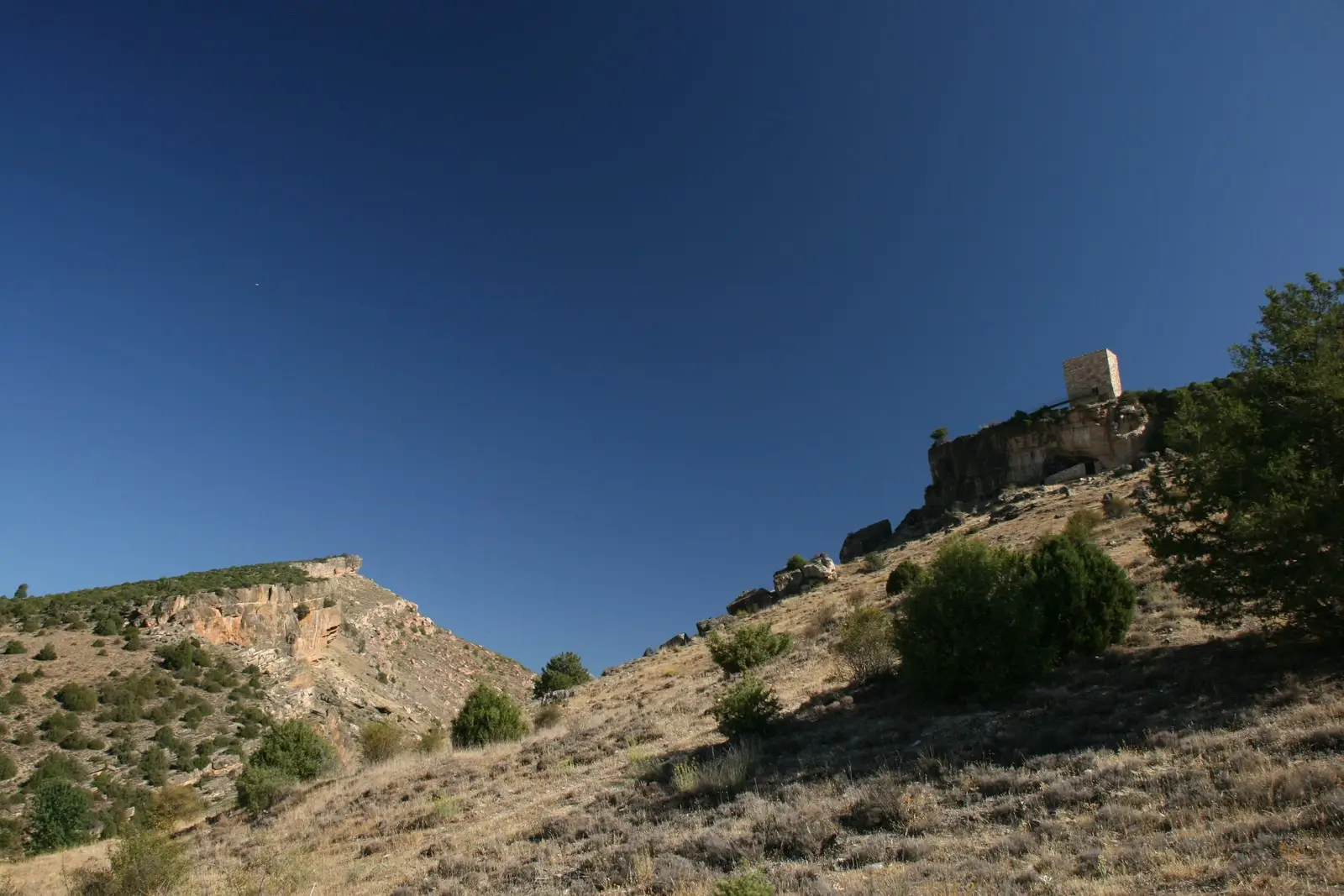
Trail 4: Valle de los Milagros (Riba de Saelices)
3 km · 1.5 h · Linear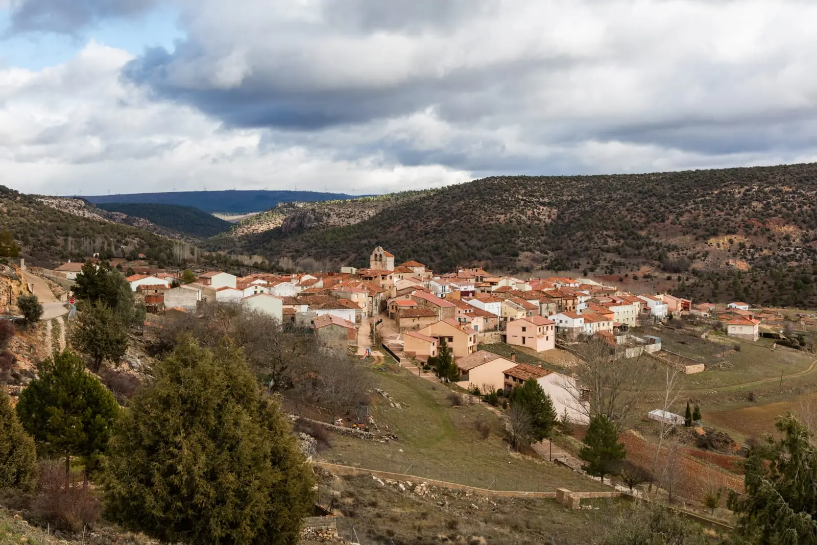
Ethnographic route 1: the chozones of Ablanque
3 km · 3 h · Linear