Village · Guadalajara · 982 m
Riba de Saelices
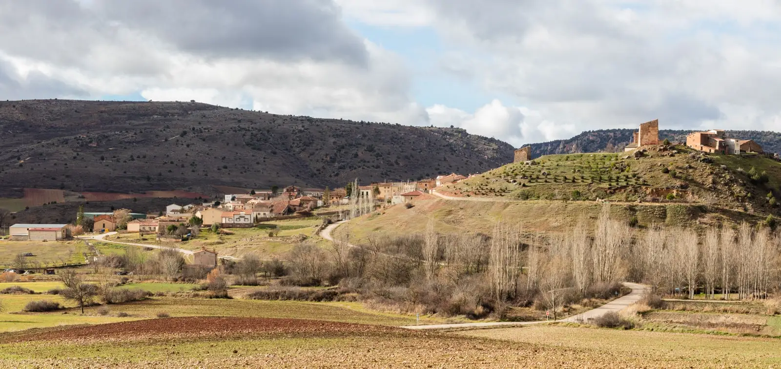
Riba de Saelices, in the Linares river fertile plain, is one of the most storied villages in the Alto Tajo. It holds Cueva de los Casares, an Andalusi watchtower, and Valle de los Milagros with its red sandstone towers.
Rivers and basins
The thread of water from Riba de Saelices
Follow these watercourses towards their confluences, villages, and basin history.
Lands and landscapes
From here, follow the memory of the territory
These readings connect Riba de Saelices with the history, work, and villages around it.
Traces in the village and its surroundings
Which eras you can read here
A single place can preserve traces from different eras. These layers connect what you see with the stories in the atlas.
Layered history
Few localities in the Natural Park concentrate so much history in so little space. Neanderthals and Paleolithic hunters in Cueva de los Casares, an Andalusi settlement and its watchtower on the hillside, and, all around, rocks over 250 million years old in Valle de los Milagros. Its territory also includes La Loma and Ribarredonda.
What to see
- Cueva de los Casares, with Paleolithic engravings and rare human figures.
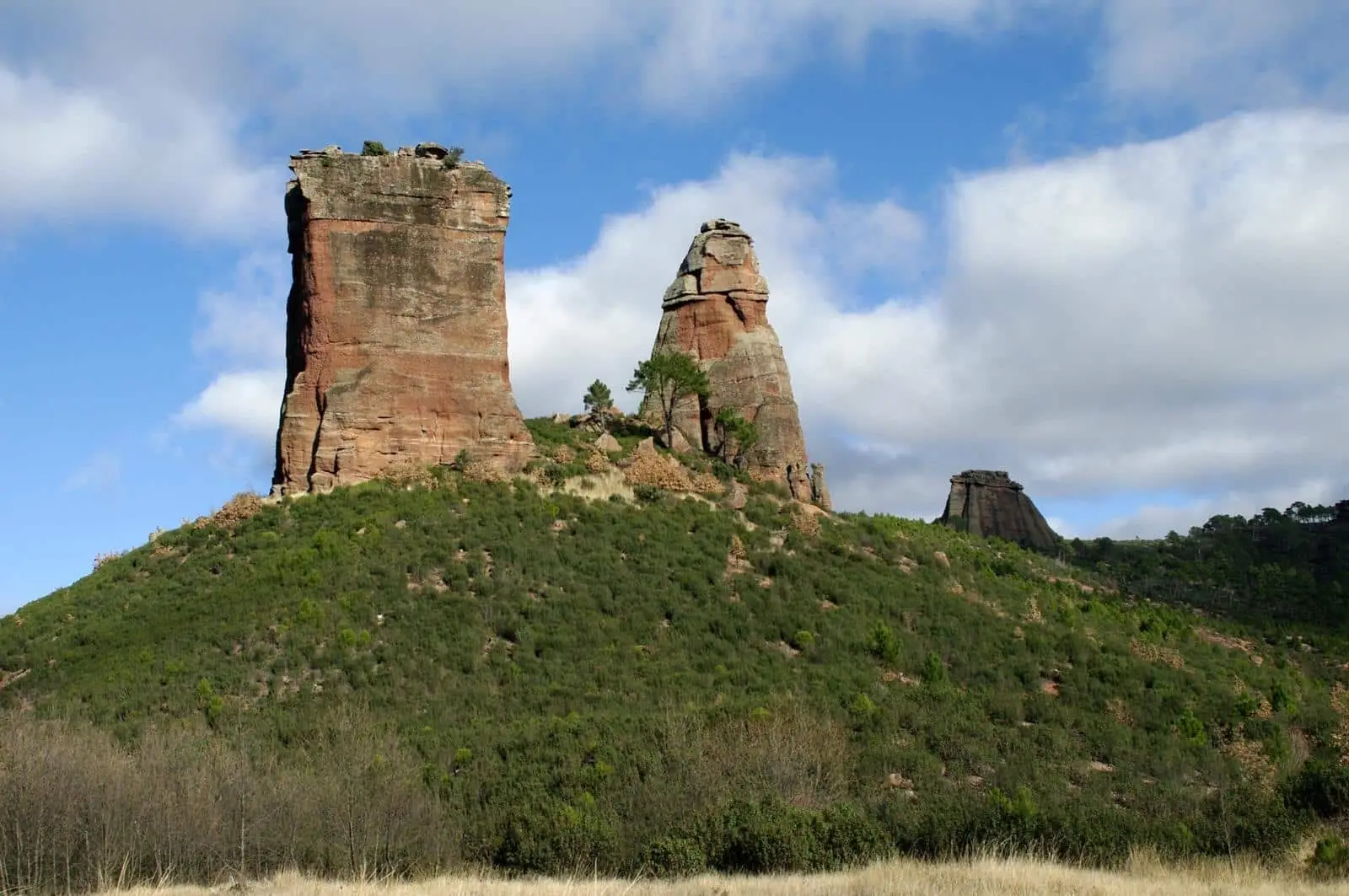
- Valle de los Milagros, with Puntal del Milagro and Peña Eslabrada.
- Barranco del Hocino.
Routes
Sendero 4, Valle de los Milagros, Georuta 2, and Sendero 5, the chozones of La Loma.
More to see
In the municipal area: the archaeological site of Valdeherreros-La Azafuera, opposite Cueva de los Casares.
Planning your visit
Book Los Casares in advance and then adjust your walk through Valle de los Milagros to match your visit time slot and daylight hours.
Before travelling
The archaeological site and the valley lie outside the village centre. Confirm your reservation, prepare your travel, and download the route; do not expect to enter the cave without a prior appointment.
To combine
Continue with Cueva de los Casares. Check its guide to decide whether it fits into the same excursion.
Places in and around Riba de Saelices
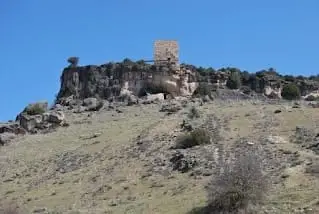
Cueva de los Casares: Paleolithic art, Neanderthals, and Islamic tower
Riba de Saelices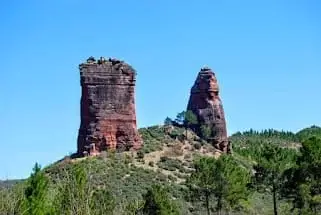
Valle de los Milagros: red sandstone towers in Riba de Saelices
Riba de Saelices
Barranco del Hocino: the yew grove that burned in 2005
Riba de Saelices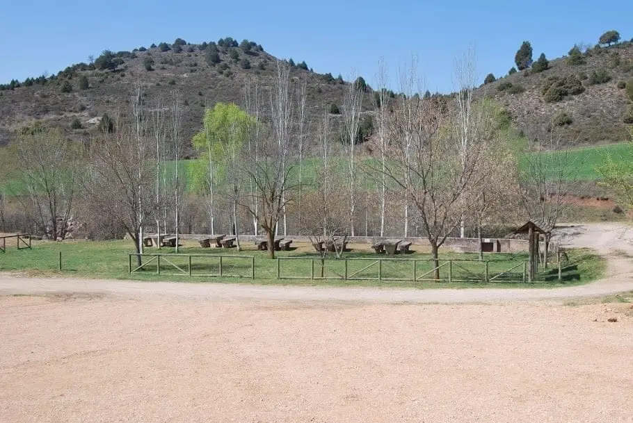
Linares River recreation area (Cueva de los Casares)
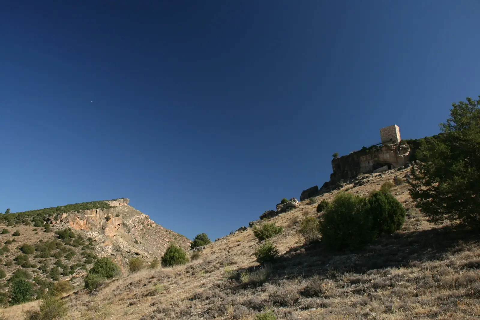
Riba de SaelicesRiba de Saelices watchtower: the Berber tower above Los Casares cave
Riba de SaelicesValdeherreros-La Azafuera (Riba de Saelices): from Celtiberian village to Roman vicus
Riba de SaelicesRoutes linked to Riba de Saelices
Near Riba de Saelices
Saelices de la Sal Pillbox: memory of the Spanish Civil War
Saelices de la Sal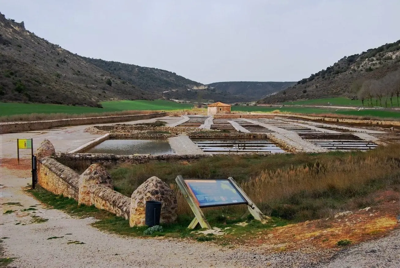
San Juan Salt Pans (Saelices de la Sal)
Saelices de la Sal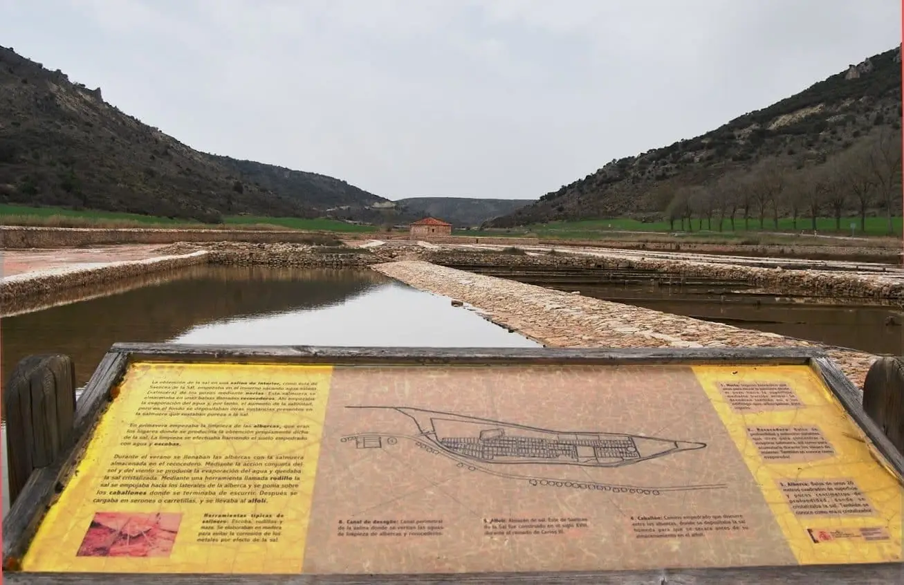
Guided visit to Saelices de la Sal saltworks
Saelices de la SalPopulation of Riba de Saelices, 1842–2021
Riba de Saelices reached a peak of 492 inhabitants in 1930 . In the 2021 census there were 106 , a decrease of 78%. This is the history told in the emptying of the Alto Tajo.
Climate in Riba de Saelices month by month
2015–2024 averages from Copernicus ERA5 reanalysis for an altitude of approx. 982 m. Useful for planning, not a substitute for live forecasts.
Location
● Reference point · ● Villages · ● Places
Location diagram. Detailed map with tracks and names loads on zoom.
Reference villages: Saelices de la Sal · Ablanque · Esplegares · Santa María del Espino.
Open the full map and historical layers →