Water source · Vega del Codorno
Nacimiento del Río Cuervo: tufa waterfalls in Vega del Codorno
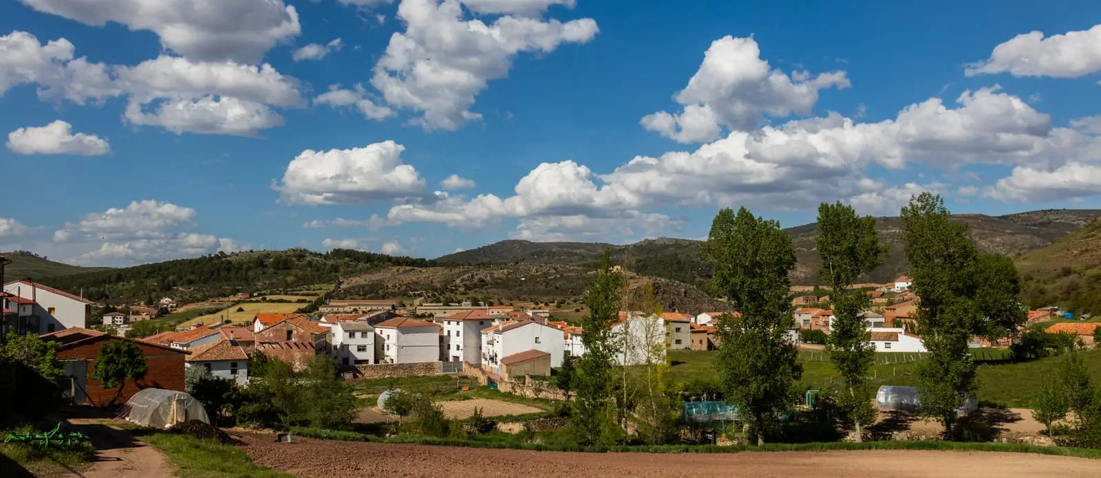
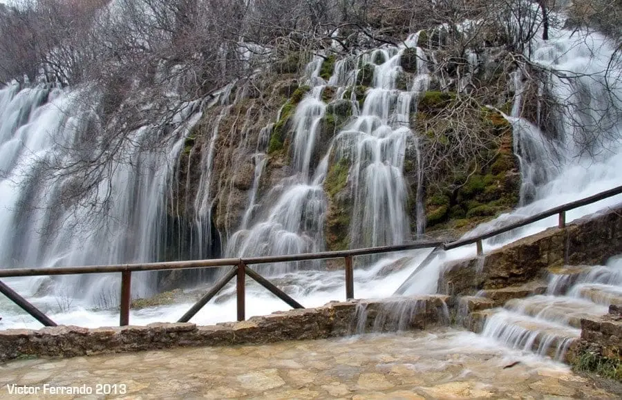
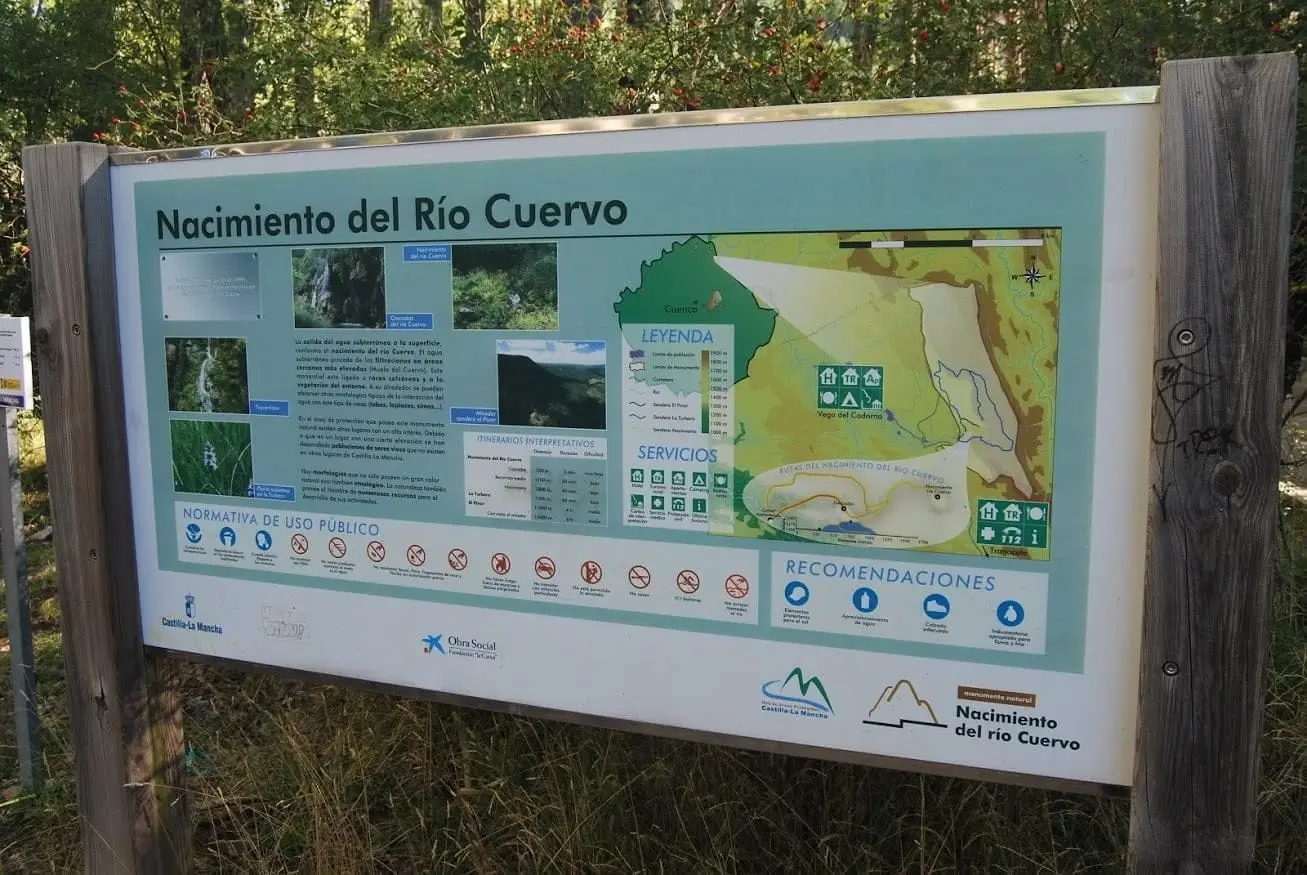
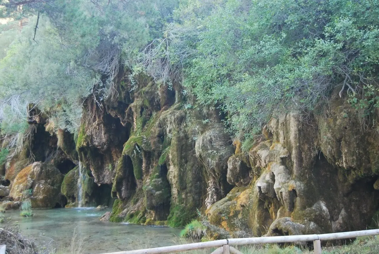
The Nacimiento del Río Cuervo, in Vega del Codorno (Serranía de Cuenca), has been a Natural Monument since 1991, covering roughly 1,709 hectares. When flowing, water emerges from a travertine spring and cascades over large mossy tufa stalactites, forming curtains that freeze in winter. Best to visit the visitor centre first.
Rivers and basins
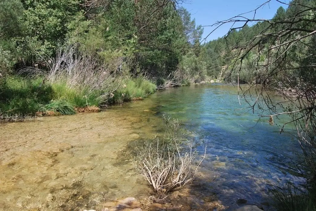
The thread of water from Nacimiento del Río Cuervo: tufa waterfalls in Vega del Codorno
Follow these watercourses towards their confluences, villages, and basin history.
- Municipality
- Vega del Codorno
- Province
- Cuenca
- Altitude
- 1,447 m
- Natural Monument (1991)
- Tufa waterfalls
- Freezes in winter
- Visitor centre
Water cascading over tufa
The water rises from a travertine spring and spills down massive tufa stalactites carpeted in bright green moss, forming tiered water curtains. In winter cold, these cascades frequently freeze solid. Flow volume varies throughout the year: spring is when it looks at its most impressive.
Before you go
Visit first the Casa de la Herrería Visitor Centre, about 3 km away in the El Perchel neighbourhood of Vega del Codorno. Guided tours are arranged from there.
Photo: El Observario
Location
● Reference point · ● Villages · ● Places
Location diagram. Detailed map with tracks and names loads on zoom.
Reference villages: Vega del Codorno · Masegosa · Peralejos de las Truchas · Checa.
Open the full map and historical layers →