Village · Cuenca · 1,337 m
Vega del Codorno
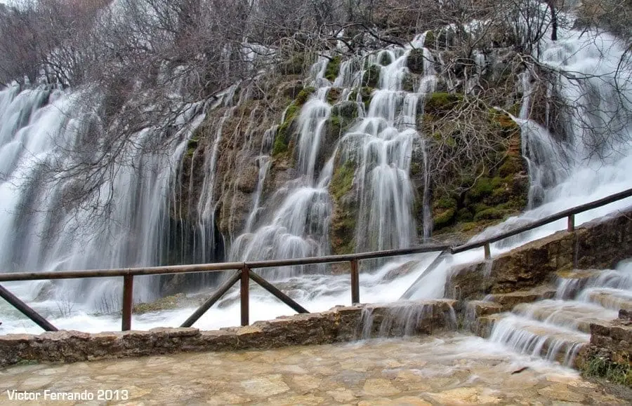
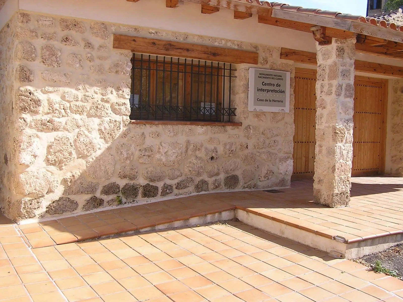
Vega del Codorno is a mountain village in Serranía de Cuenca, divided into separate neighbourhoods. Very nearby is the source of the Cuervo river, a Natural Monument since 1991, where water falls over moss-covered tufa stalactites. Casa de la Herrería interpretation centre is in its Perchel neighbourhood.
Rivers and basins
The thread of water from Vega del Codorno
Follow these watercourses towards their confluences, villages, and basin history.
What to see
- Nacimiento del río Cuervo.
- Interpretation centre Casa de la Herrería, with guided tours.
Nearby
Places in and around Vega del Codorno
Near Vega del Codorno
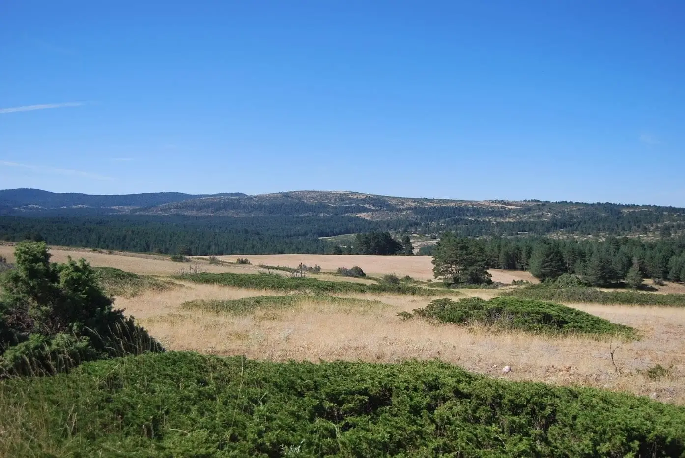
Altos de la Campana (Checa): between the Tagus and Hoz Seca
ChecaTrail 19: Collado del Aire via La Campana (Checa)
3.1 km · 1 h · Linear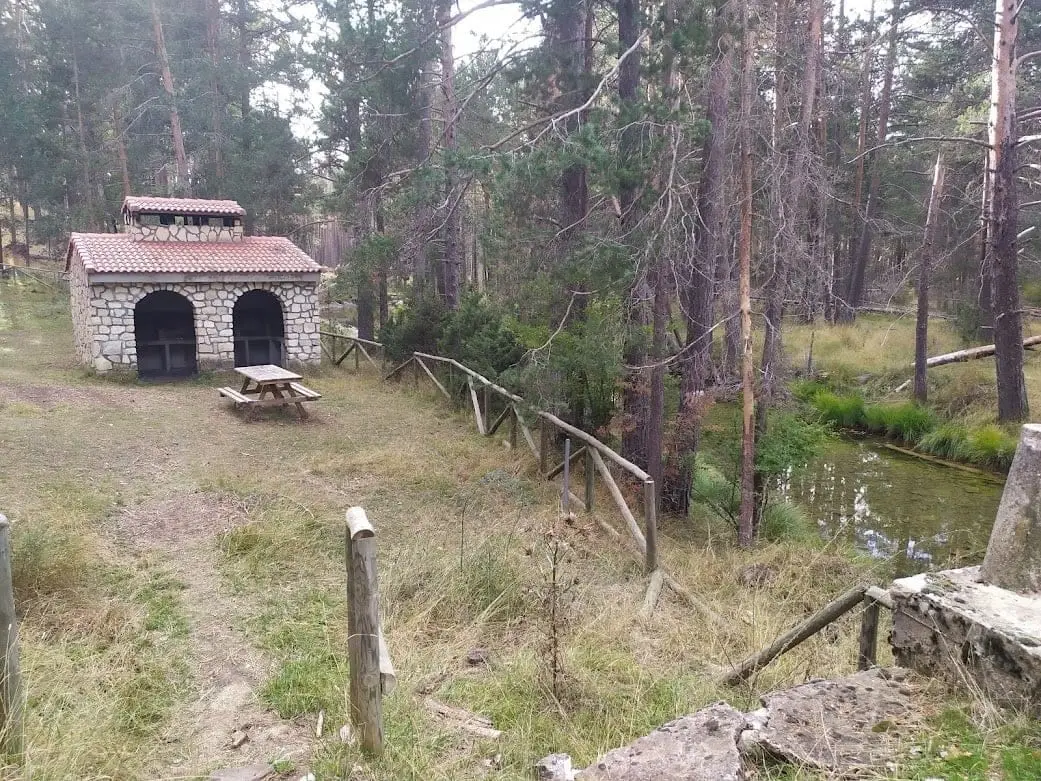
Puente de las Tres Provincias recreation area
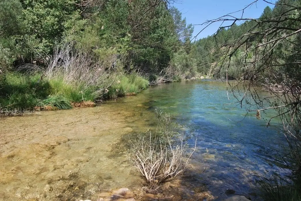
Las Juntas of the Tagus and Hoz Seca: where the Tajillo becomes the Tagus
Checa, Peralejos de las Truchas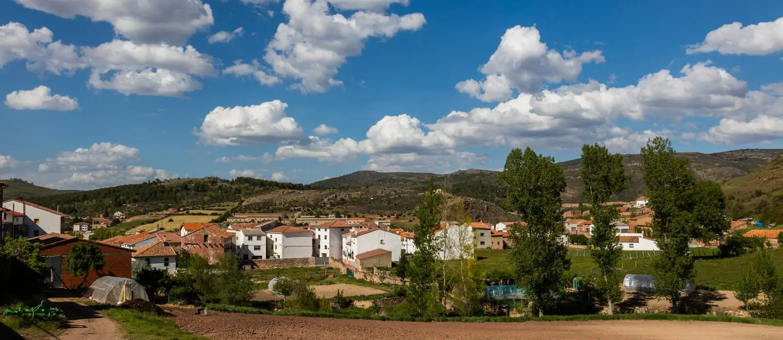
MTB route 4: La Sierra, via Checa, Orea, and Alcoroches
68 km · 8 h · Circular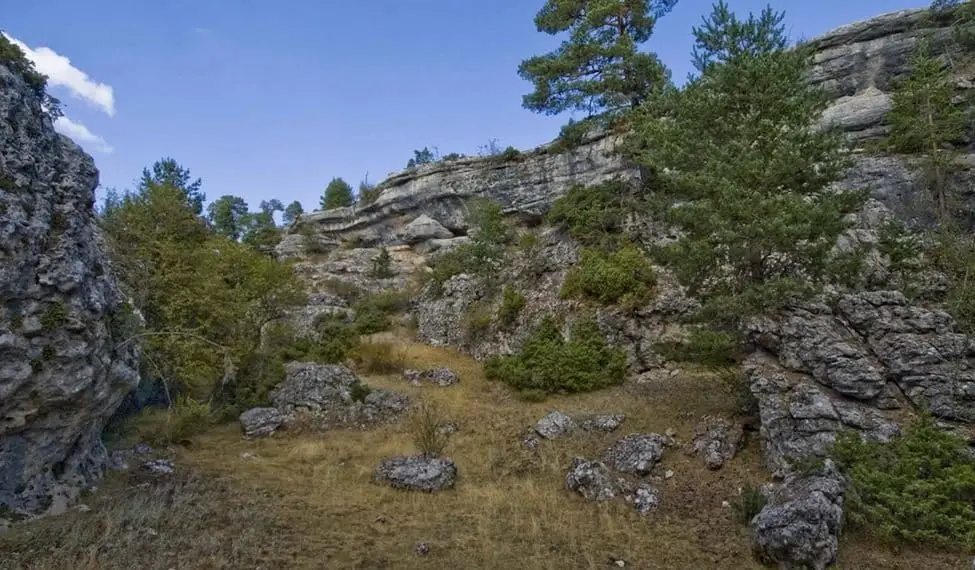
Muela Pinilla y del Puntal: Natural Monument in Masegosa
Masegosa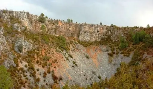
Torcas de Lagunaseca: The Lesser-Known Karst of Cuenca
Cueva del Tornero (Checa): the great subterranean cavity of central Spain
ChecaPopulation of Vega del Codorno, 1930–2021
Vega del Codorno reached a peak of 506 inhabitants in 1930 . In the 2021 census there were 135 , a decrease of 73%. This is the history told in the emptying of the Alto Tajo.
Climate in Vega del Codorno month by month
2015–2024 averages from Copernicus ERA5 reanalysis for an altitude of approx. 1,337 m. Useful for planning, not a substitute for live forecasts.
Location
● Reference point · ● Villages · ● Places
Location diagram. Detailed map with tracks and names loads on zoom.
Reference villages: Masegosa · Peralejos de las Truchas · Cueva del Hierro · Beteta.
Open the full map and historical layers →