Geosite · Checa
Altos de la Campana (Checa): between the Tagus and Hoz Seca
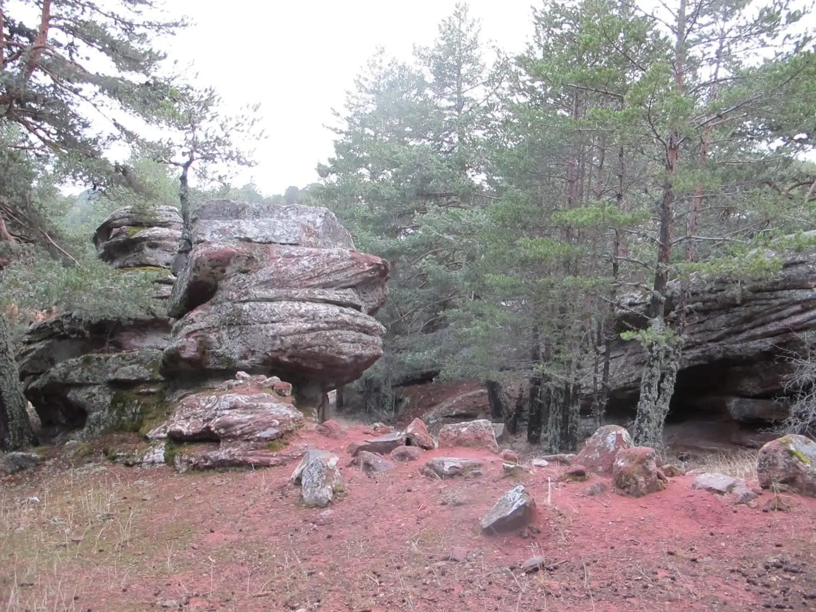
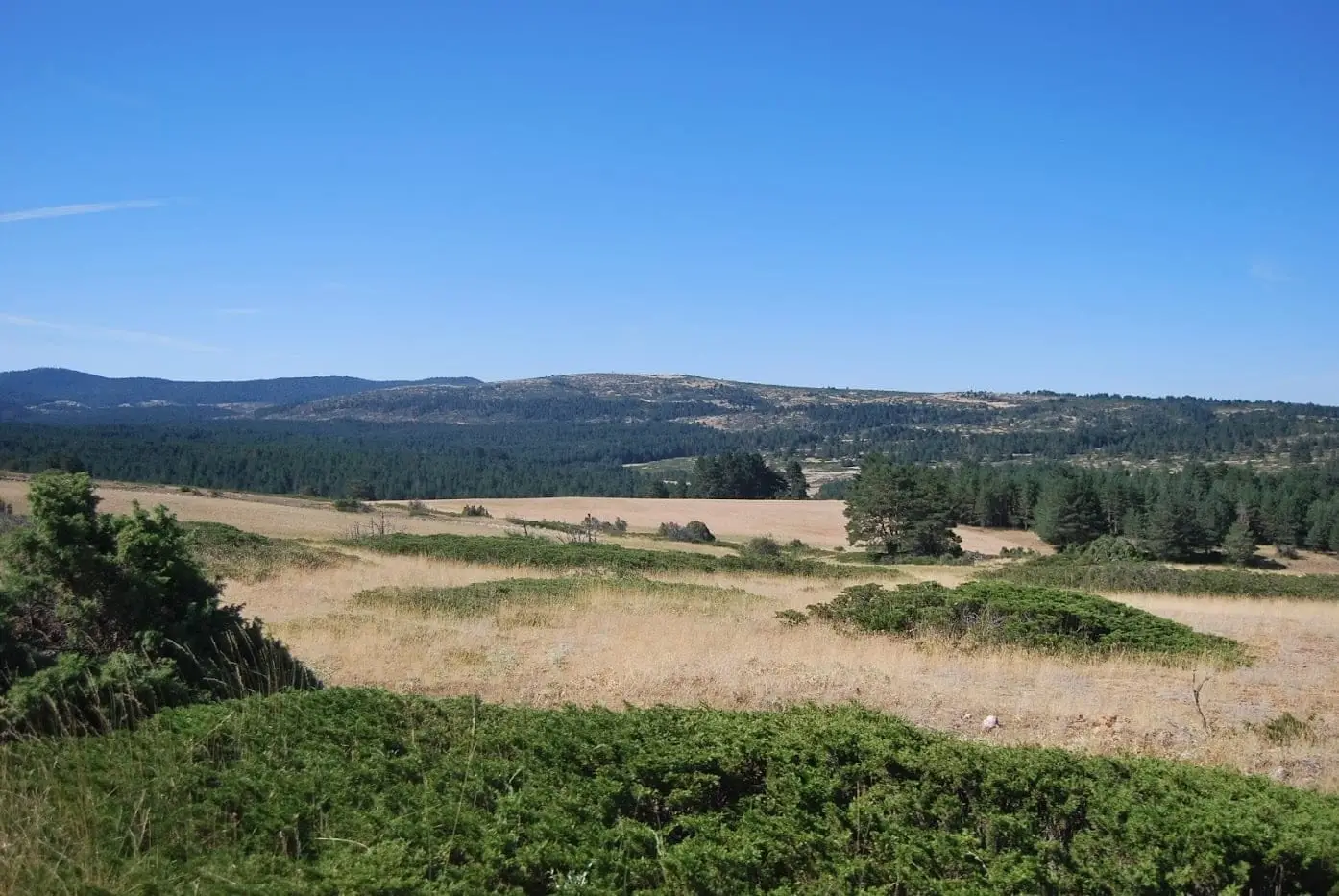
Altos de la Campana are mountains in Checa reaching up to 1,746 metres, bordered by the Tagus and Hoz Seca rivers, which form the dramatic cliffs of Las Juntas at their confluence. Belonging to Sierra Molina pasture, they witness historic transhumance traditions.
Lands and landscapes
From here, follow the memory of the territory
These readings connect Altos de la Campana (Checa): between the Tagus and Hoz Seca with the history, work, and villages around it.
- Municipality
- Checa
- Province
- Guadalajara
- Altitude
- 1,679 m
- 1,746 m
- Las Juntas
- Sierra Molina
- Transhumance
Mountains between two rivers
On one side flows the Tagus and on the other the Hoz Seca; where they meet, they carve the towering cliffs of Las Juntas. From the heights you overlook the Tagus canyon, which forms the boundary with Cuenca, facing the Natural Monument of Muela Pinilla y del Puntal.
Pastoral heritage
Geographically they form part of Sierra Molina, the historic communal pasture traversed by transhumant flocks. In these uplands now graze Przewalski’s horses managed by the regional administration, part of wild herbivore rewilding initiatives across the territory.
Location
● Reference point · ● Villages · ● Places
Location diagram. Detailed map with tracks and names loads on zoom.
Reference villages: Masegosa · Vega del Codorno · Peralejos de las Truchas · Checa.
Open the full map and historical layers →More geology and geosites nearby
View all →Cueva del Tornero (Checa): the great subterranean cavity of central Spain
Checa
Muela Pinilla y del Puntal: Natural Monument in Masegosa
Masegosa