Village · Guadalajara · 1,321 m
Peralejos de las Truchas
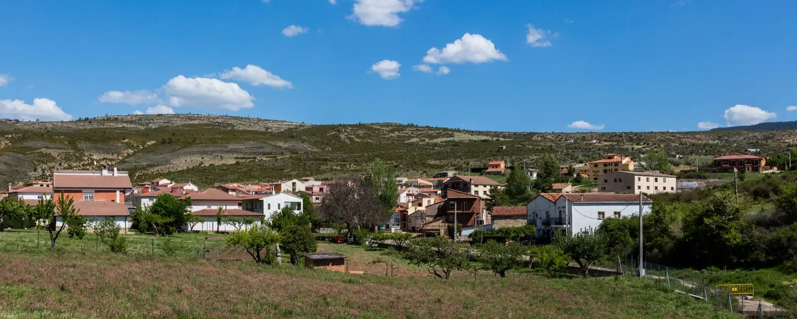
Peralejos de las Truchas is a village closely tied to the river, with a timber-driving (ganchero) tradition, located in a valley between the Tagus and the Cabrillas. Its municipality brings together gorges and canyons: the Barranco del Horcajo, the Juntas with the Hoz Seca, the Muela de Utiel, and the Ribagorda hermitage.
Rivers and basins
The thread of water from Peralejos de las Truchas
Follow these watercourses towards their confluences, villages, and basin history.
Lands and landscapes
From here, follow the memory of the territory
These readings connect Peralejos de las Truchas with the history, work, and villages around it.
Traces in the village and its surroundings
Which eras you can read here
A single place can preserve traces from different eras. These layers connect what you see with the stories in the atlas.
A village shaped by the river
Peralejos sits in a valley bordered by the Tagus and the Cabrillas, and its history is bound to water. It was a village of gancheros, the men who each spring guided logs cut from the mountain pine forests downriver. Today it is a frequent stop for walking along the riverbank or sitting beside the water.
What to see
- The hermitage of Ribagorda, among the recognized hermitages of the Alto Tajo.
- The Barranco del Horcajo, short but steep.
- The Juntas of the Tagus and the Hoz Seca.
- The Herrería de los Morencos and the Martinete Bridge, heritage of iron and water.
- The Muela de Utiel, the Terreras de la Virgen, and the Molino de Arriba waterfall.
- The viewpoints of El Rasón and Pie Molino.
Routes
It has a large network of marked trails: Sendero 11, Barranco del Horcajo, Georuta 7 towards Taravilla, Ruta BTT 3, La Muela, and the GR-10.
Planning your visit
Choose a riverside walk or the Horcajo canyon for the main excursion, leaving other locations for future visits.
Before travelling
Las Juntas, the Muela de Utiel, and the viewpoints are in the wider surroundings, not within the village stroll. Compare distance, elevation gain, and trailheads before choosing.
Combining visits
Continue with the Barranco del Horcajo. Check its guide to determine if it fits within the same trip.
Places in and around Peralejos de las Truchas
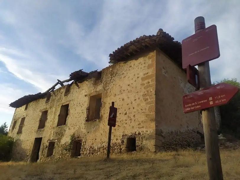
Morencos Ironworks (Peralejos): iron forging on the Hoz Seca
Peralejos de las Truchas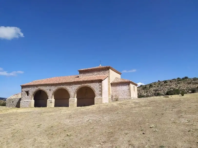
Hermitage of the Virgen de Ribagorda (Peralejos de las Truchas)
Peralejos de las Truchas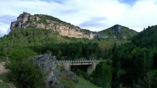
Puente del Martinete: the first major bridge over the Tagus
Peralejos de las Truchas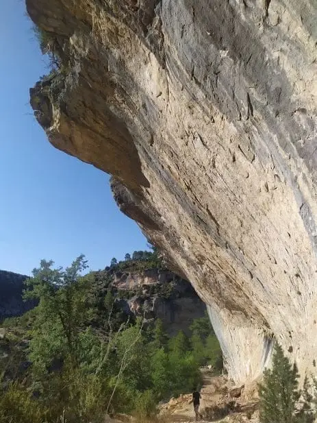
Barranco del Horcajo: a canyon with yew and linden woodland
Masegosa, Peralejos de las Truchas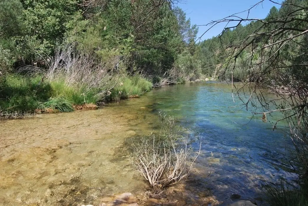
Las Juntas of the Tagus and Hoz Seca: where the Tajillo becomes the Tagus
Checa, Peralejos de las Truchas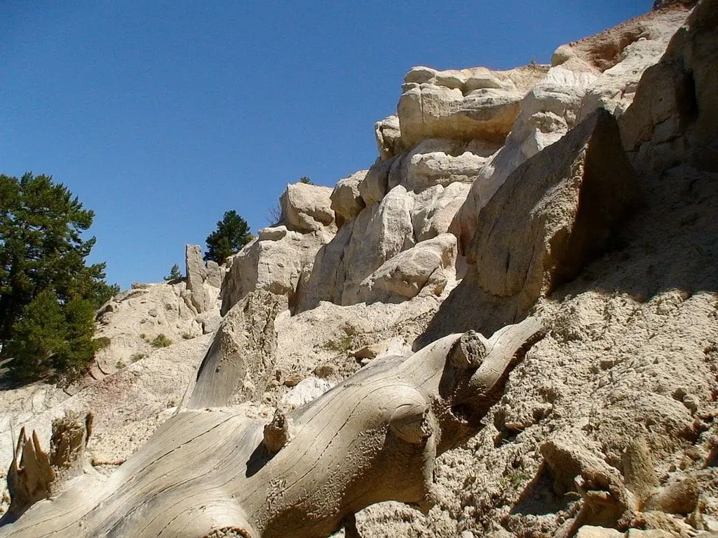
Terreras de la Virgen (Cárcava de Ribagorda)
Peralejos de las Truchas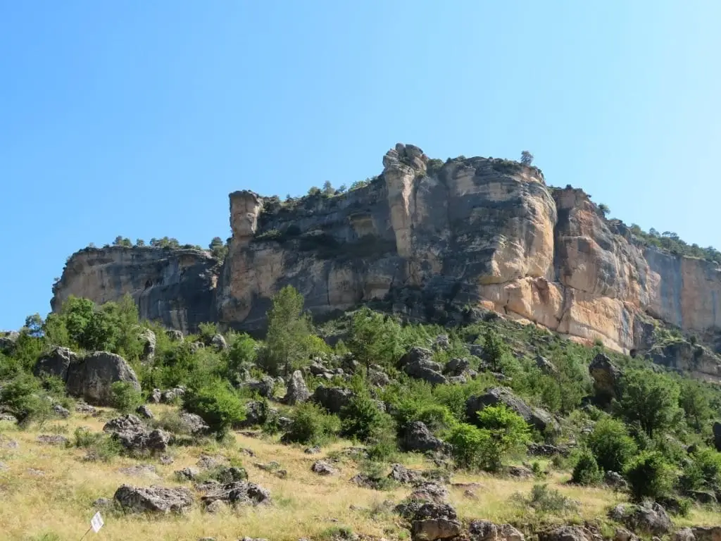
Muela de Utiel: the great karst plateau between Tagus and Cabrillas
Peralejos de las Truchas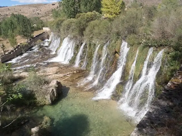
Cascada del Molino de Arriba (Peralejos de las Truchas)
Peralejos de las Truchas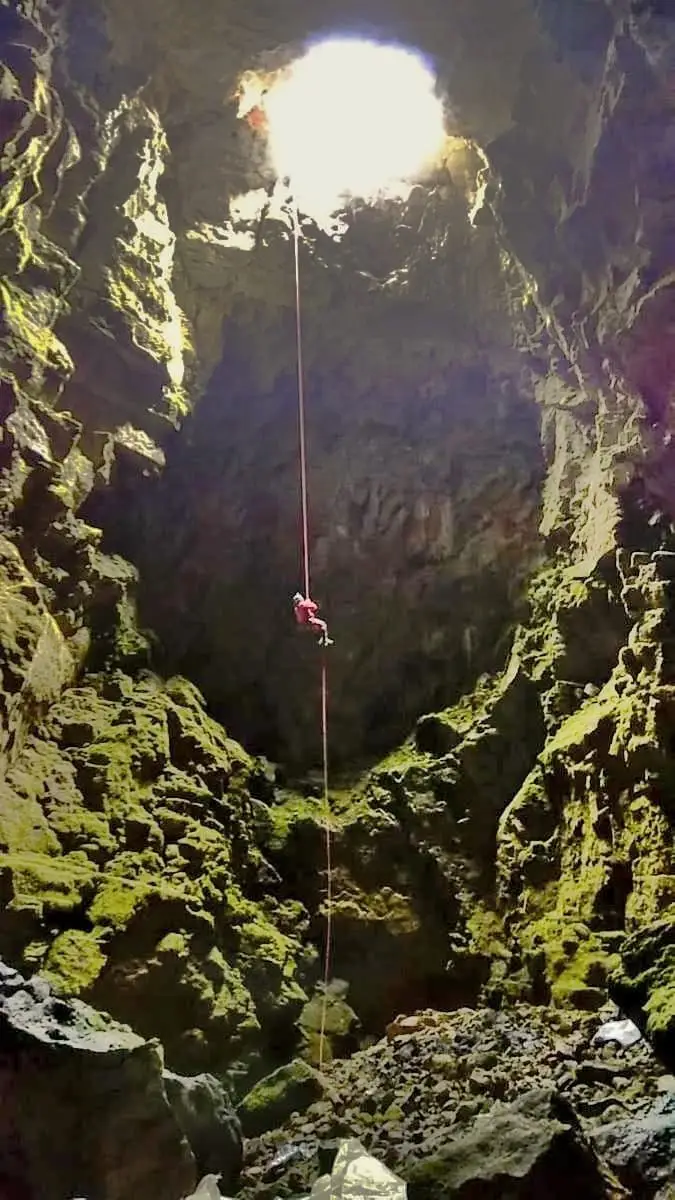
Grobias Chasm: A 45-Metre Open-Air Vertical Shaft
Chequilla, Peralejos de las Truchas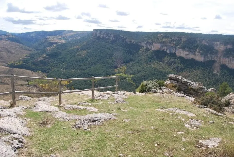
Mirador Pie Molino: Peralejos from Muela de Utiel
Peralejos de las Truchas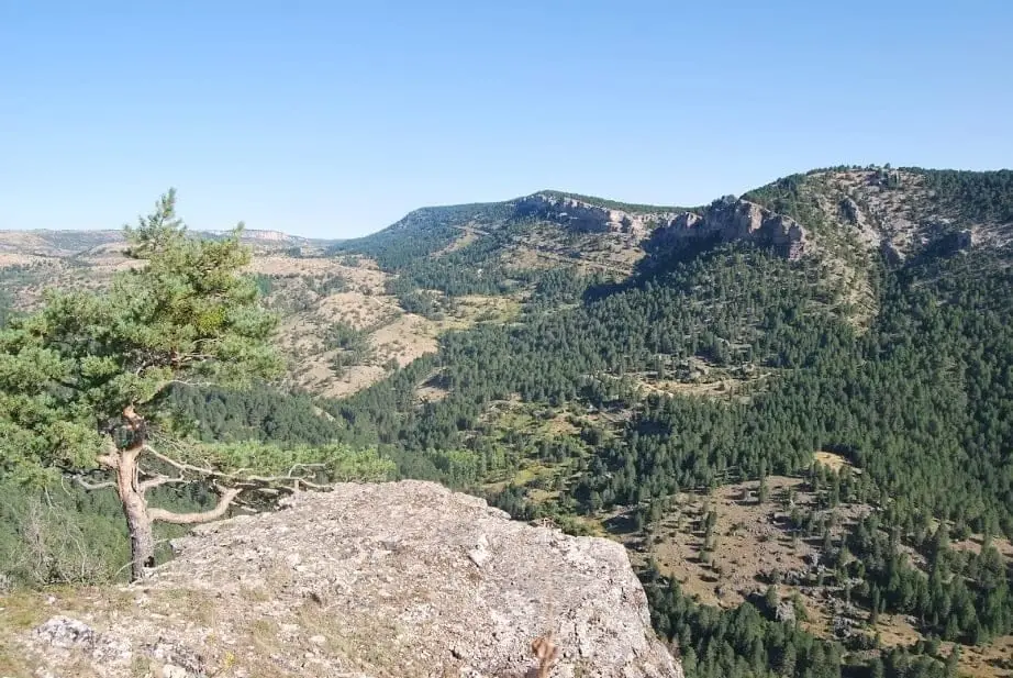
El Rasón: viewpoint over the Tagus and Hoz Seca confluence
Peralejos de las Truchas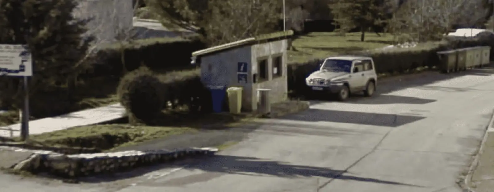
Peralejos de las Truchas information point
Peralejos de las Truchas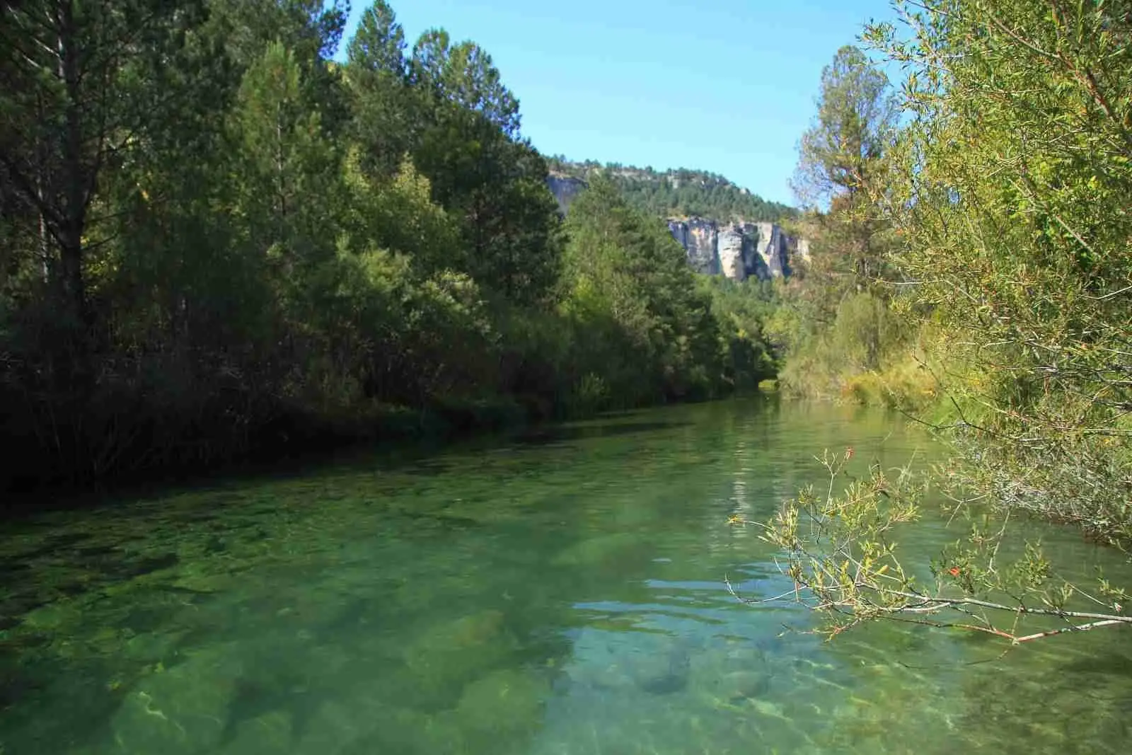
El Vado recreation area (Peralejos de las Truchas)
Peralejos de las Truchas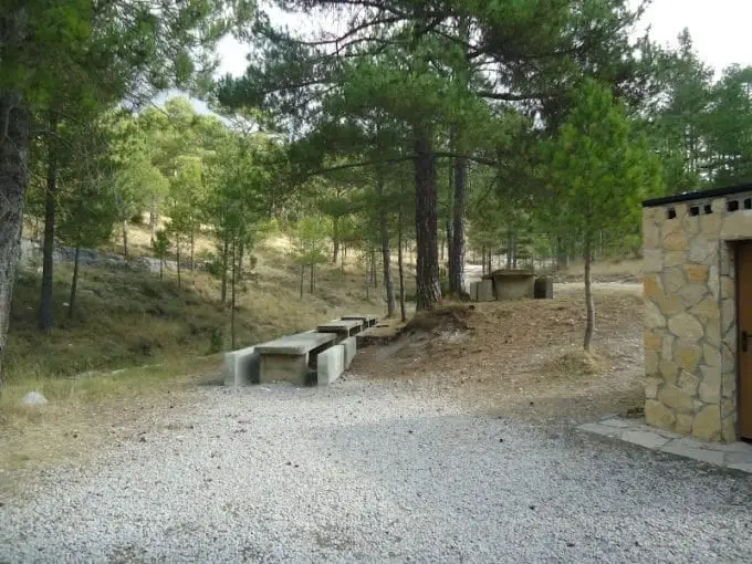
La Común recreation area (Peralejos de las Truchas)
Peralejos de las Truchas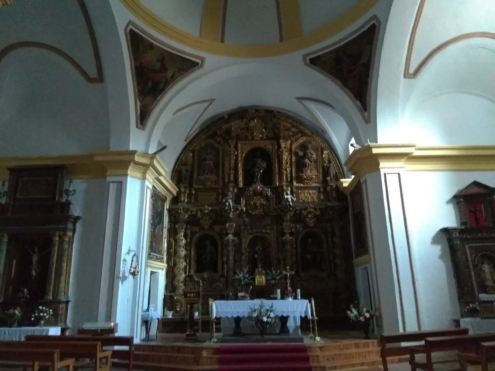
Church of San Mateo (Peralejos de las Truchas) and its Apostolado
Peralejos de las TruchasArroyo de la Quebrantaherradura ravine (canyoning)
Peralejos de las TruchasBlazoned mansions of Peralejos de las Truchas
Peralejos de las TruchasRoutes linked to Peralejos de las Truchas
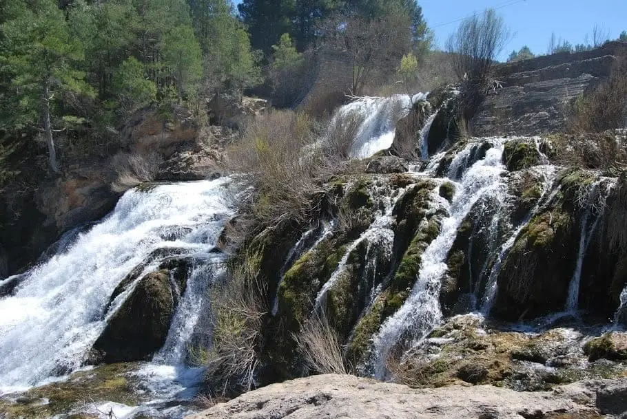
Geotrail 7: Laguna de Taravilla, Salto de Poveda, and Peralejos
15 km · 4 h · Linear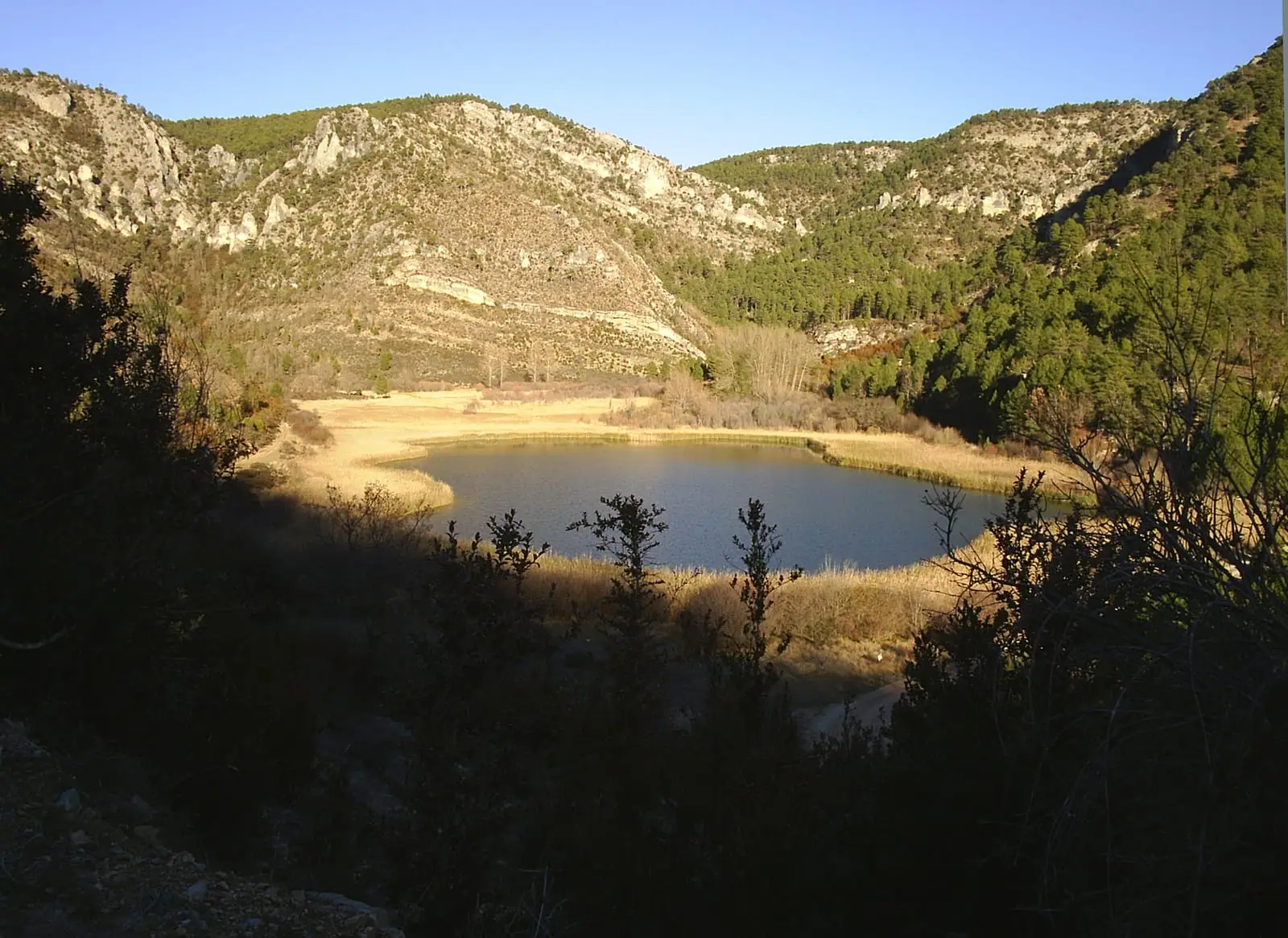
MTB route 3: La Muela, between Taravilla and Peralejos
24 km · 6 h · LinearTrail 11: Barranco del Horcajo (Peralejos)
6.5 km · 3 h · CircularGR-10 (E7) through the Alto Tajo: the Valencia to Lisbon trail
130 km · 32 h · LinearPopulation of Peralejos de las Truchas, 1842–2021
Peralejos de las Truchas reached a peak of 816 inhabitants in 1920 . In the 2021 census there were 156 , a decrease of 81%. This is the history told in the emptying of the Alto Tajo.
Climate in Peralejos de las Truchas month by month
2015–2024 averages from Copernicus ERA5 reanalysis for an altitude of approx. 1,321 m. Useful for planning, not a substitute for live forecasts.
Frequently asked questions
What is there to see in Peralejos de las Truchas?
The hermitage of Ribagorda, the Barranco del Horcajo, the Juntas of the Tagus and Hoz Seca, the Herrería de los Morencos, the Martinete bridge, the Muela de Utiel, and the Rasón and Pie Molino viewpoints.
What were the gancheros?
The timber drivers who guided loose logs down the Tagus river each spring using long iron-tipped poles. Peralejos was among the villages with the strongest timber-driving tradition.
Location
● Reference point · ● Villages · ● Places
Location diagram. Detailed map with tracks and names loads on zoom.
Reference villages: Chequilla · Megina · Masegosa · Checa.
Open the full map and historical layers →