Village · Guadalajara · 1,501 m
Orea
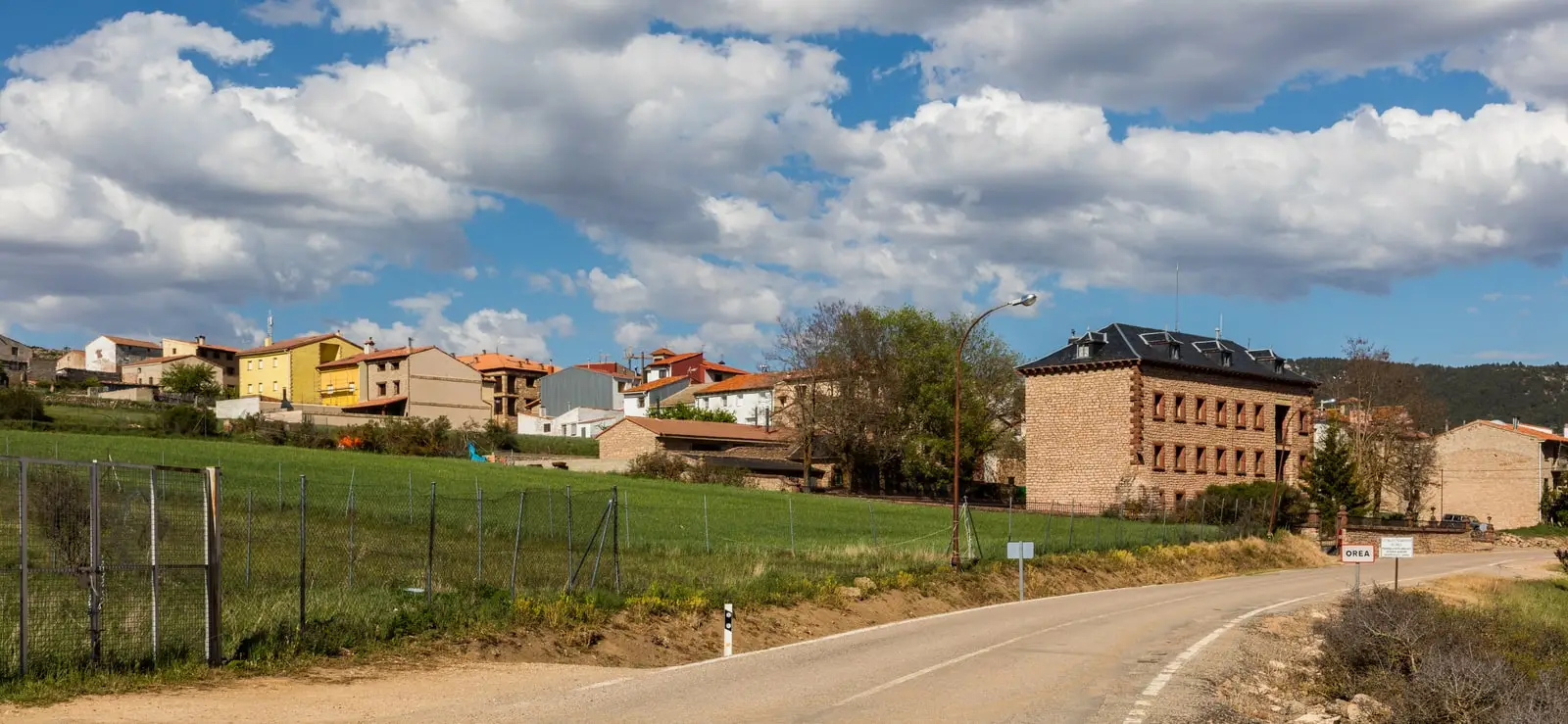
Orea is the highest village in the Alto Tajo, at about 1,500 metres in the southeastern corner of the Park, between the Sierra de Albarracín and the Montes Universales. It has the coolest summers in the territory and unique geology: a periglacial stone river, the Salobreja salt lake, rock alleys and an ancient volcano.
Rivers and basins
The thread of water from Orea
Follow these watercourses towards their confluences, villages, and basin history.
Lands and landscapes
From here, follow the memory of the territory
These readings connect Orea with the history, work, and villages around it.
Traces in the village and its surroundings
Which eras you can read here
A single place can preserve traces from different eras. These layers connect what you see with the stories in the atlas.
Mountain border
Orea sits in the southeastern corner of the Park, where the Alto Tajo meets the Sierra de Albarracín and the Montes Universales. Its altitude brings the coolest summers in the region, alongside long winters: it records among the highest number of frost days in the atlas.
What to see in Orea
- Río de Piedras: a periglacial river of stone blocks dating from the Ice Age.
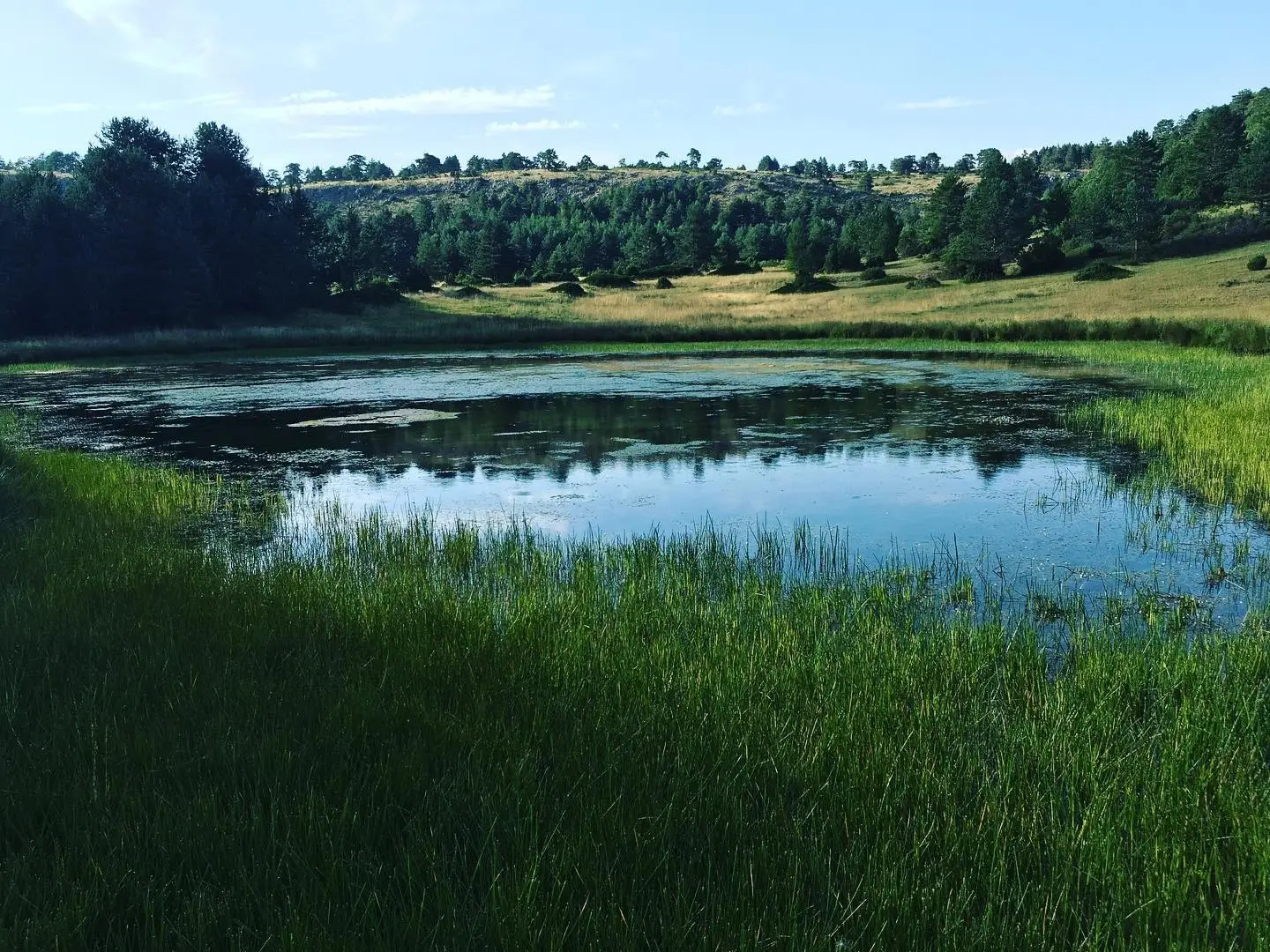
- Laguna de la Salobreja: an inland saline lake, uncommon in mountain environments, suitable for birdwatching.
- Callejones de Peñas Rubias: sandstone corridor formations near the lagoon.
- Ancient volcano of Orea and the Cerro de San Cristóbal.
- Pino de las 7 Garras, a monumental pine.
- The Centro de Interpretación Sequero de Orea.
Routes
Georuta 9 crosses the mountains, Sendero 17 reaches the Salobreja, and Sendero 18 follows the Enebral stream. The GR-10 and Camino del Cid also pass here.
Planning your visit
Choose a mountain route, such as the Salobreja trail, and combine it with a visit to the village. Avoid attempting to see every geological site in a single day.
Before travelling
Elevation does not eliminate sun exposure or mountain storms. Check route maps and weather forecasts, bring warm layers, and confirm opening hours for the Sequero centre.
Combining visits
Continue with La Laguna de la Salobreja. Check its guide to decide whether to include it.
Places in and around Orea
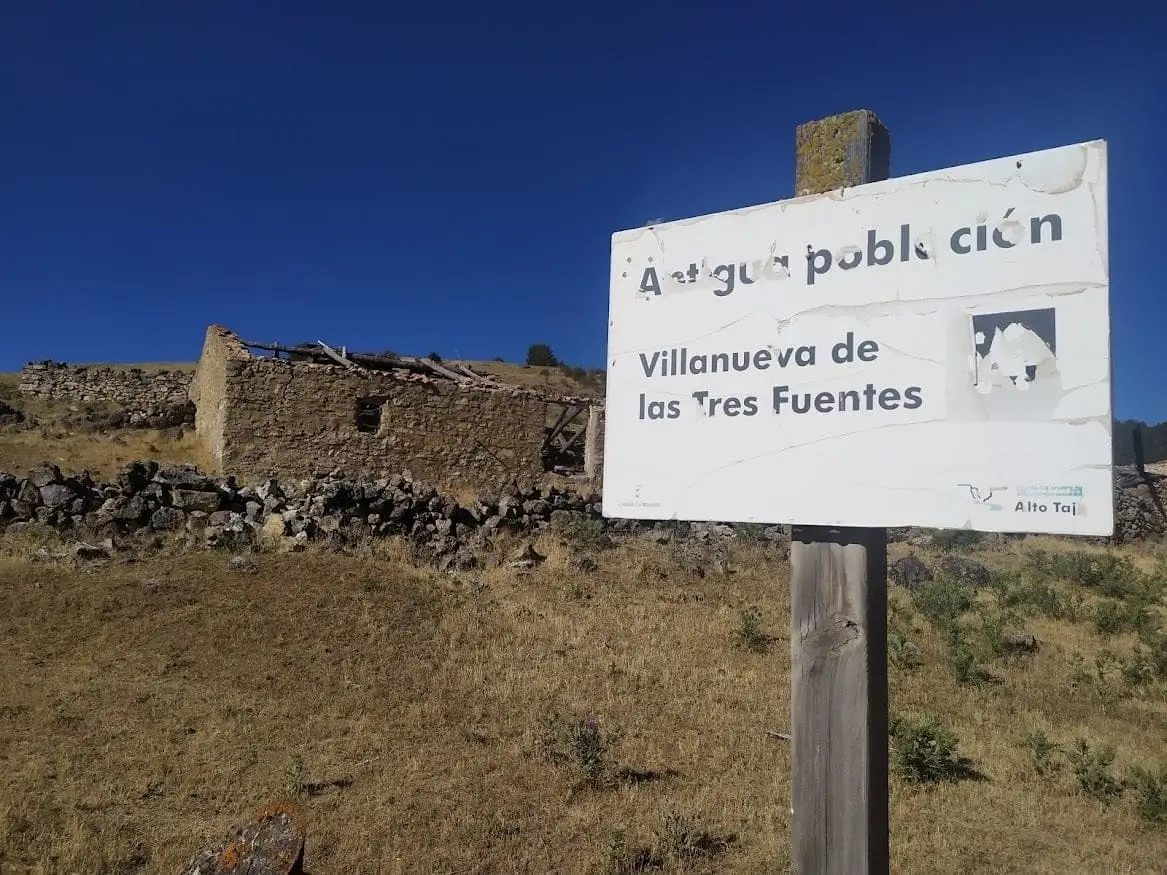
Villanueva de las Tres Fuentes (Orea): an abandoned village in Sierra Molina
Orea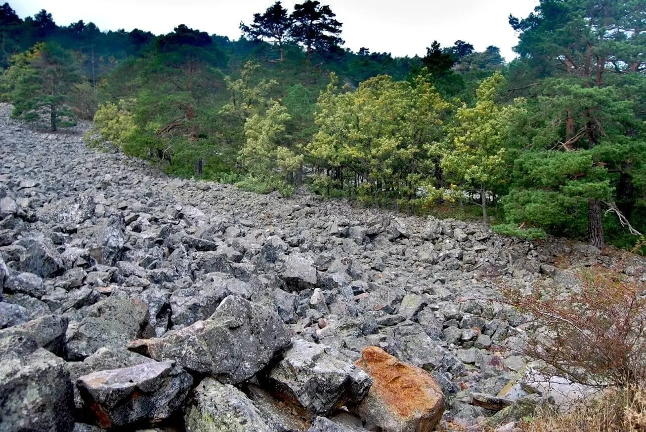
Orea Stone Run: a boulder river you can hear
Orea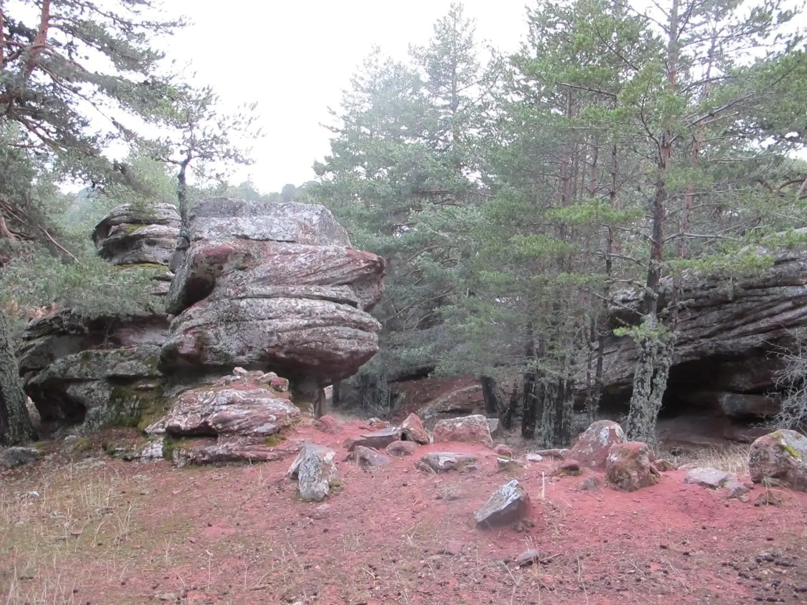
Corridors of Peñas Rubias: the enchanted city of Orea
Orea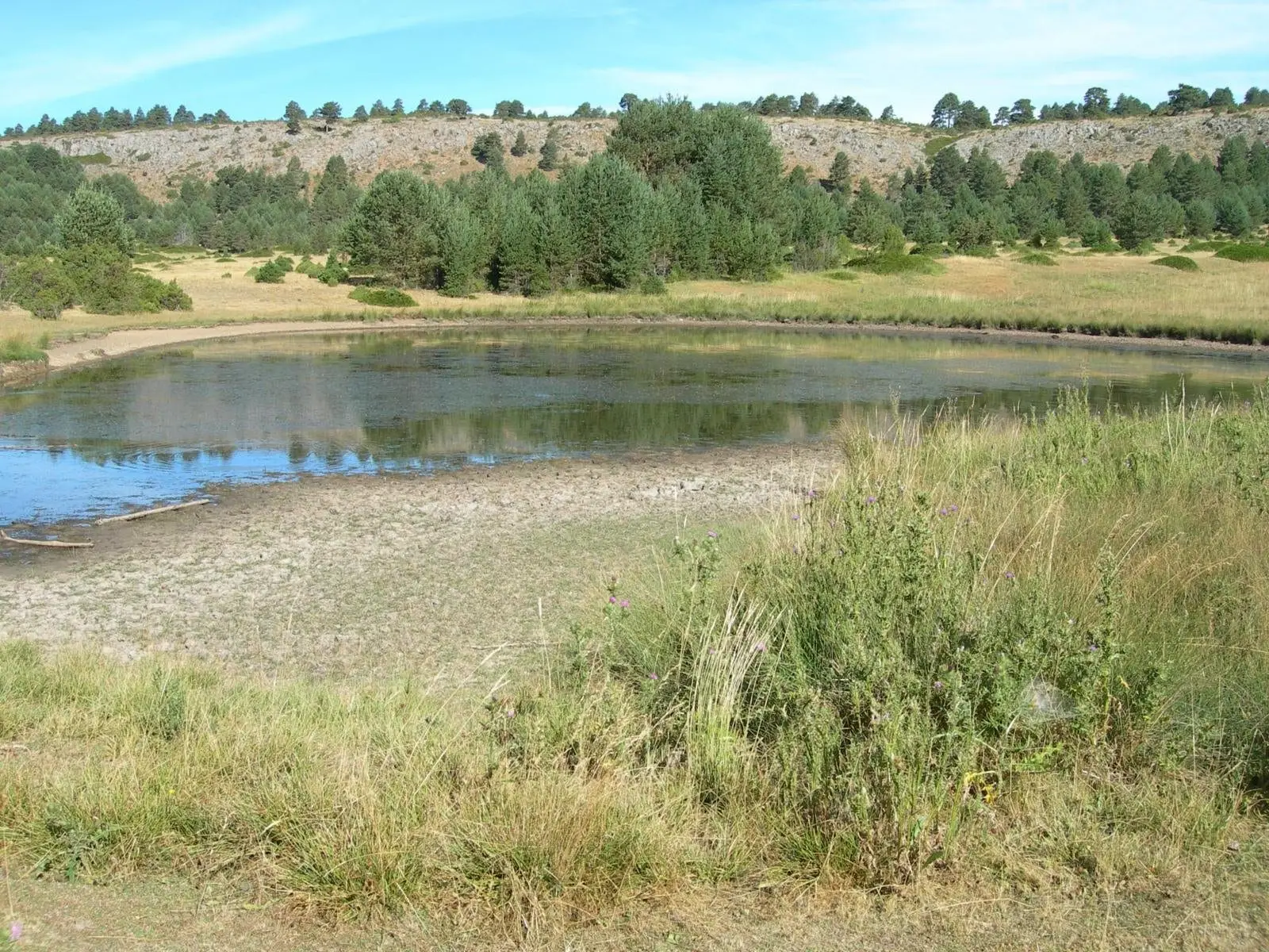
Laguna de la Salobreja (Orea): a saltwater lagoon in the mountains
Orea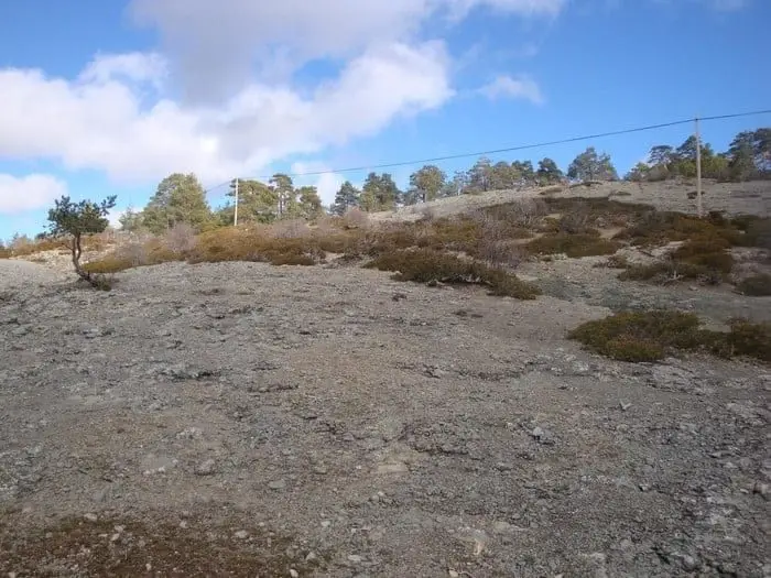
Ancient volcano of Orea: 270-million-year-old dacites
Orea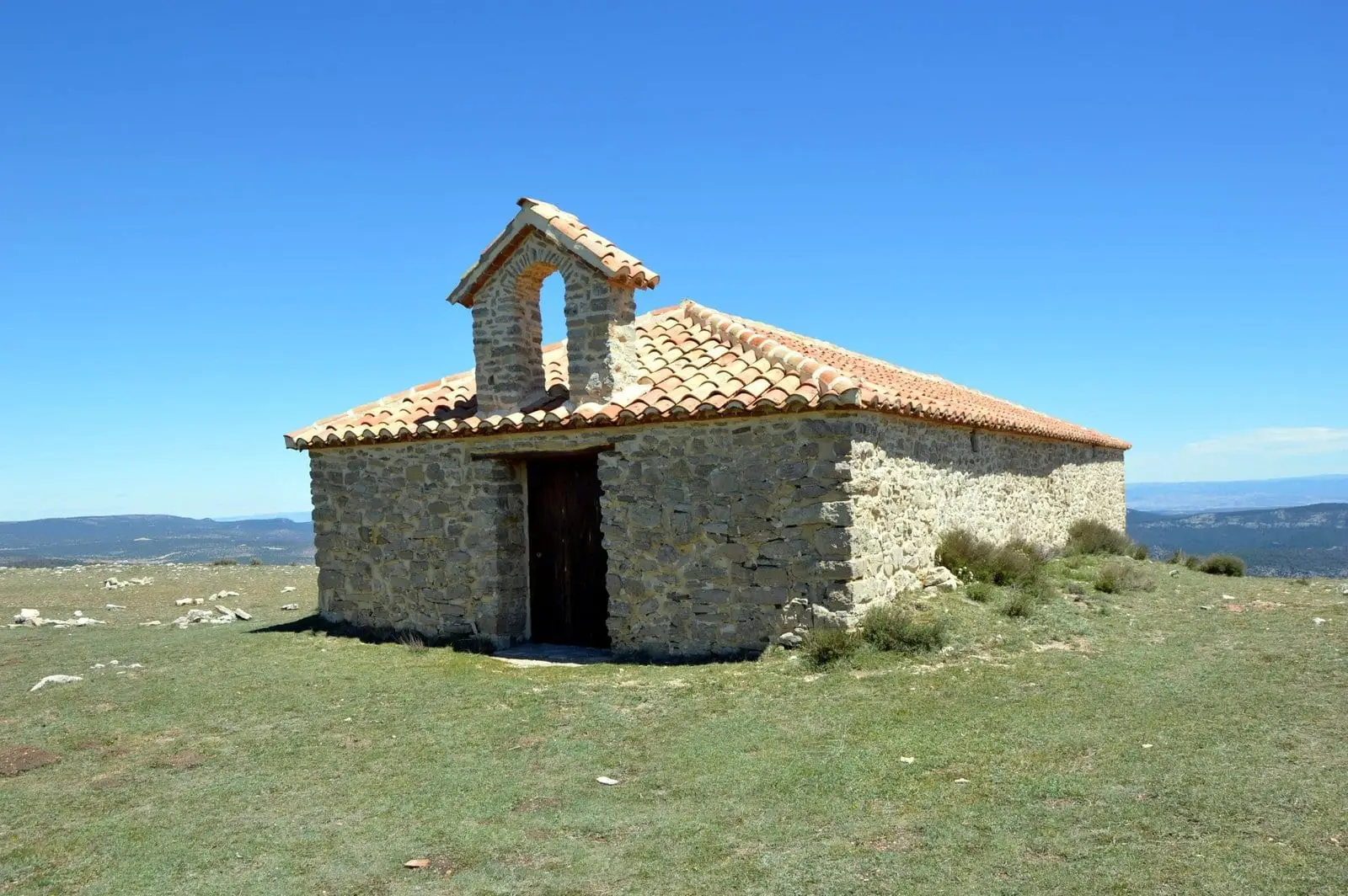
Cerro de San Cristóbal (Orea): 1,862 metres and dark night skies
Orea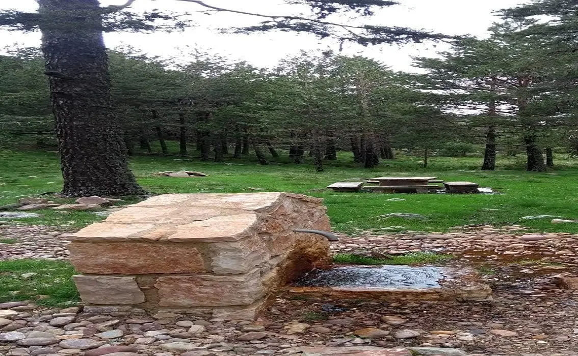
La Canaleja recreation area (Orea)
Orea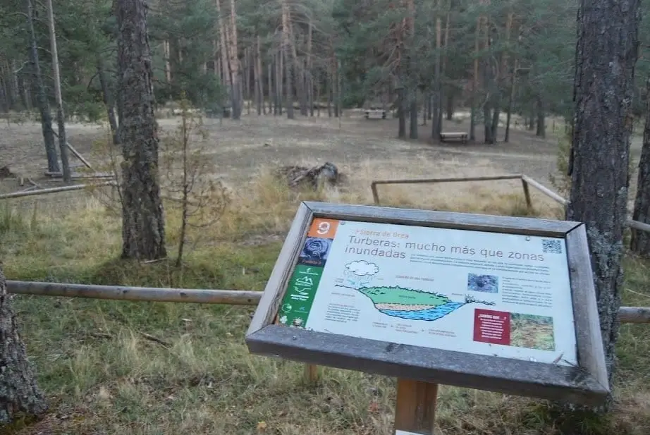
Fuente la Rana recreation area (Orea)
Orea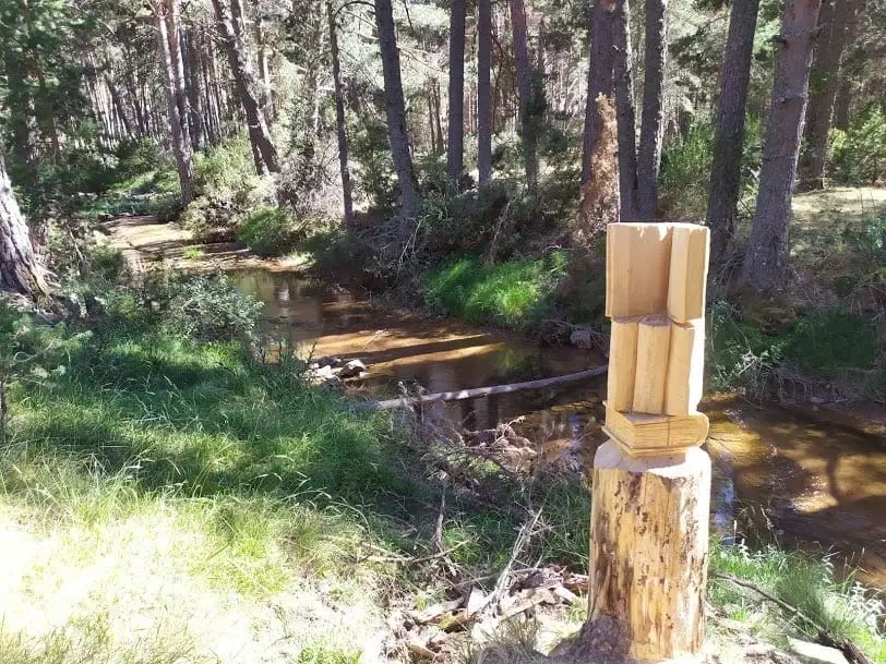
Fuente la Jícara recreation area (Orea)
Orea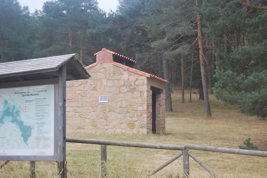
Cerrillo Herrero recreation area (Orea)
Orea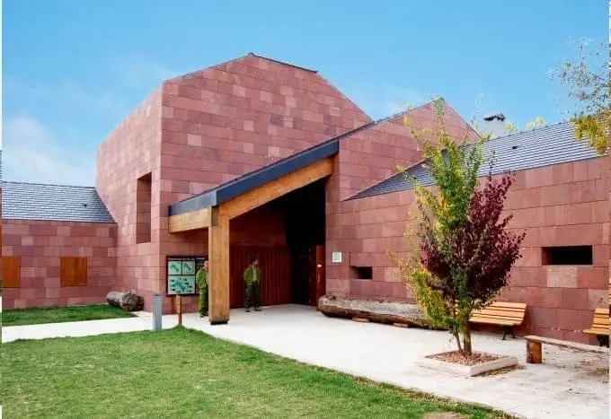
Sequero de Orea Visitor Centre
OreaPino de las Siete Garras (Orea)
OreaRoutes linked to Orea
Trail 17: Laguna de la Salobreja (Orea)
13.5 km · 5.5 h · Circular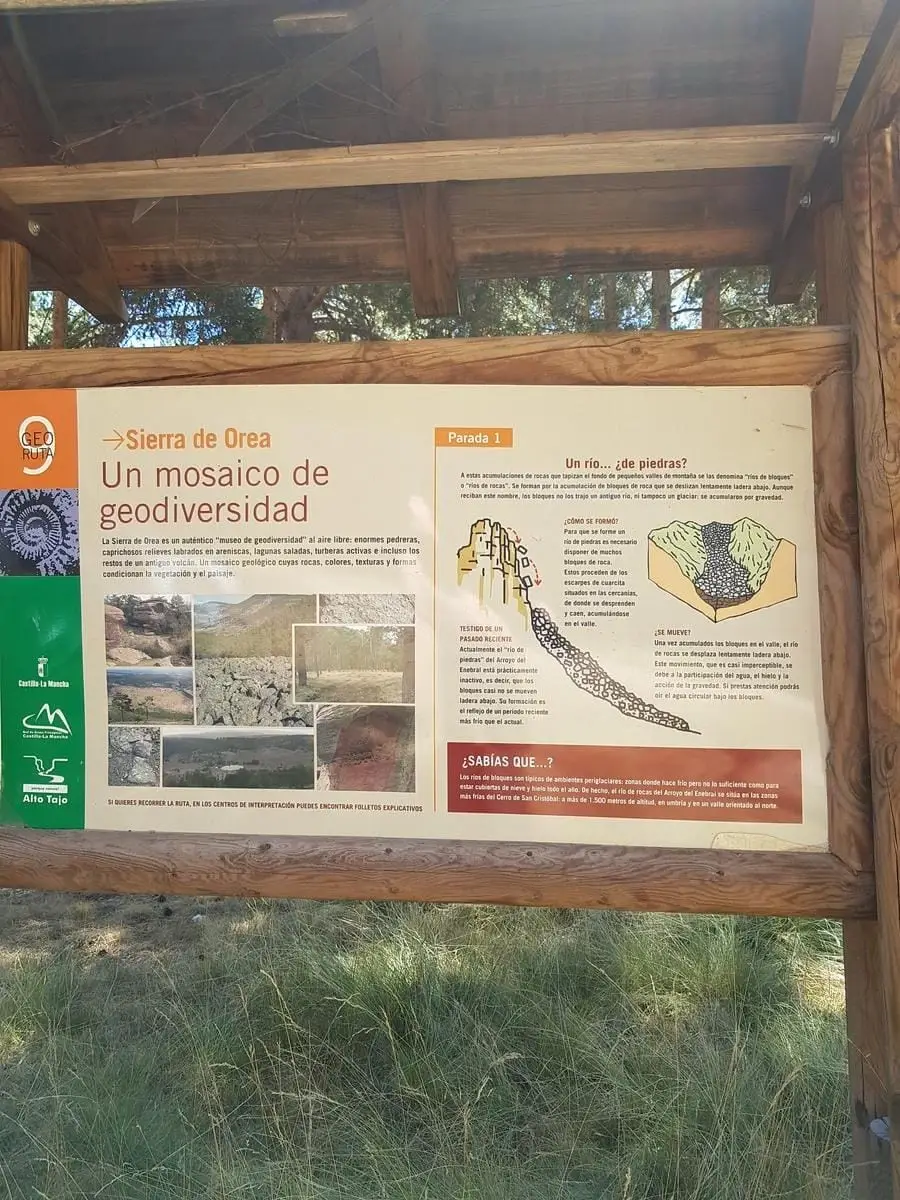
Geotrail 9: the Sierra de Orea
21 km · 5 h · Circular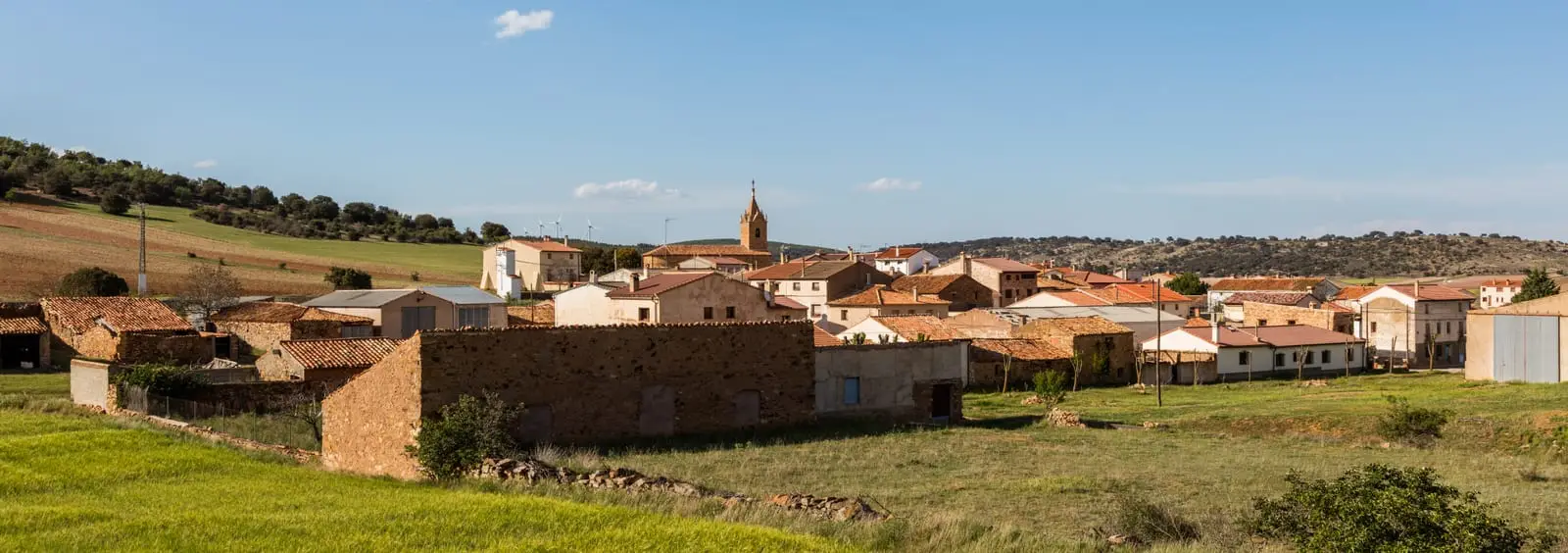
GR-160, Camino del Cid, through the Señorío de Molina
Trail 18: Arroyo del Enebral and San Cristóbal (Orea)
18.8 km · 4.5 h · CircularGR-10 (E7) through the Alto Tajo: the Valencia to Lisbon trail
130 km · 32 h · LinearNear Orea
Population of Orea, 1842–2021
Orea reached a peak of 1,077 inhabitants in 1920 . In the 2021 census there were 209 , a decrease of 81%. This is the history told in the emptying of the Alto Tajo.
Climate in Orea month by month
2015–2024 averages from Copernicus ERA5 reanalysis for an altitude of approx. 1,501 m. Useful for planning, not a substitute for live forecasts.
Frequently asked questions
What is the highest village in the Alto Tajo?
Orea, at around 1,500 metres elevation, bordering the Sierra de Albarracín and the Montes Universales.
What is the stone river of Orea?
An elongated valley accumulation of blocky quartzite rubble produced by freeze-thaw processes during past cold glacial epochs.
Location
● Reference point · ● Villages · ● Places
Location diagram. Detailed map with tracks and names loads on zoom.
Reference villages: Checa · Alcoroches · Alustante · Chequilla.
Open the full map and historical layers →