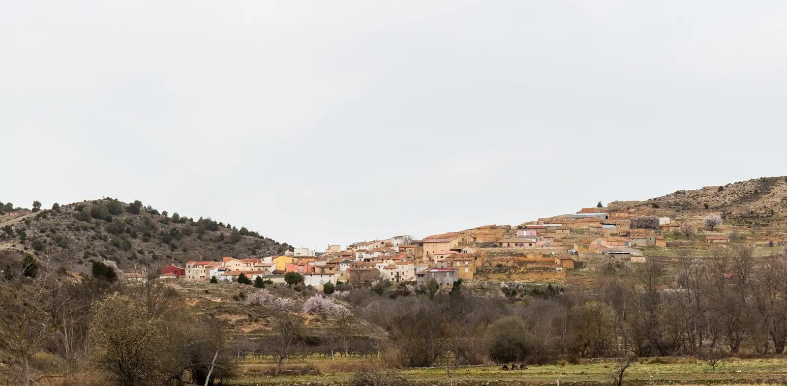
Geosite · Mochales
Tormo de Mochales: The Rock Tower of the Mesa Valley
The Tormo de Mochales is a large isolated rock tower standing in the middle of the Mesa river valley where it widens. It is the remnant of an abandoned river meander: the river eroded the slope outside the bend until separating the pillar entirely. It is a stop on the Mesa Valley Georoute within the Molina-Alto Tajo Geopark.
This place across time
Which eras you can read here
A single place can preserve traces from different eras. These layers connect what you see with the stories in the atlas.
- Municipality
- Mochales
- Province
- Guadalajara
- Altitude
- 1,015 m
- Mesa Valley
- Abandoned meander
- Georoute
- Geopark
A tower in the middle of the valley
Downstream from Mochales, the valley of the Mesa opens up and, in the middle of the river plain, a towering and solitary rock appears: the Tormo. In the Señorío, tormo is the local name for these isolated crags.
How it formed
It is the trace of an oxbow meander. In bends, water hits the outer bank with greater force and gradually erodes it. Over time, the river cut through the neck of the meander, changed course, and left this block detached from the hillside.
Through the Mesa valley
The Tormo is one of the stops on the Mesa River Valley Georoute, an itinerary of about 15 kilometres in the Molina-Alto Tajo Geopark among exposed strata, caves, and tufa. A very popular path links Mochales, the Tormo, and the Escalerón pass. Upstream, the castle of Villel de Mesa overlooks the same river.
Location
● Reference point · ● Villages · ● Places
Location diagram. Detailed map with tracks and names loads on zoom.
Reference villages: Amayas · Mochales · Establés · Labros.
Open the full map and historical layers →