Heritage · Labros
Church of Santiago in Labros: a recovered Romanesque gem
The church of Santiago Apóstol in Labros (Tartanedo), on the Lastra plain, preserves a rich Romanesque portal from the late 12th or early 13th century, with three archivolts, chequerboard carving, and capitals featuring biblical scenes and Islamic motifs, under a portico. Ruined in the 20th century, it was fully restored in the early 21st.
Lands and landscapes
From here, follow the memory of the territory
These readings connect Church of Santiago in Labros: a recovered Romanesque gem with the history, work, and villages around it.
This place across time
Which eras you can read here
A single place can preserve traces from different eras. These layers connect what you see with the stories in the atlas.
- Municipality
- Labros
- Province
- Guadalajara
- Altitude
- 1,289 m
- Romanesque portal
- Carved capitals
- Restored
- Lastra de Labros
On the Lastra plain
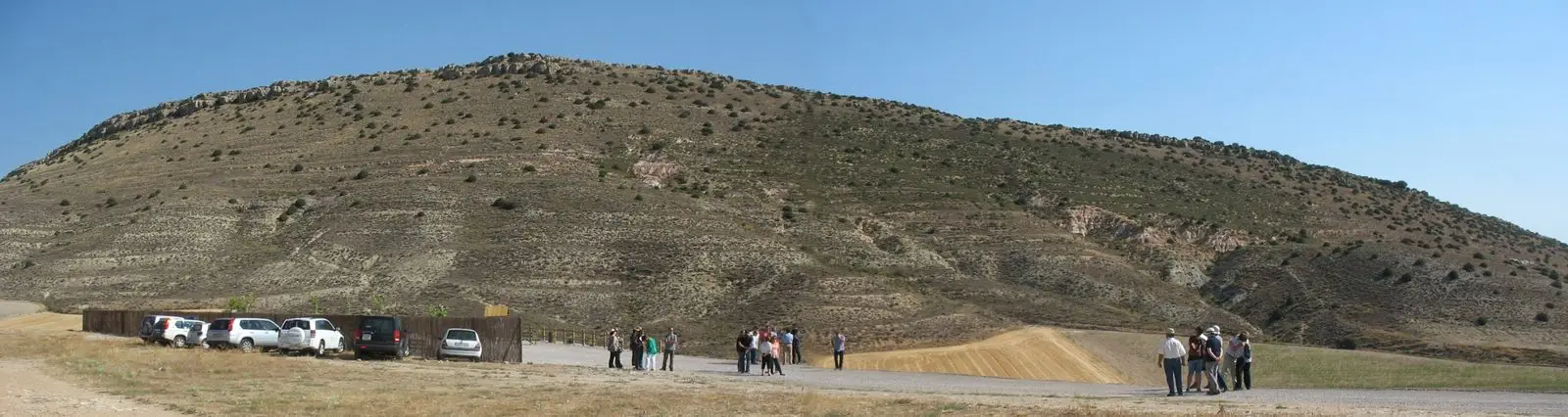
Labros, a hamlet of Tartanedo, lies on a high plain known as La Lastra de Labros, in the eastern Señorío. Its church of Santiago Apóstol features one of the richest Romanesque portals in the lands of Molina.
The portal
It opens on the south wall, sheltered by an open portico, dating to the late 12th or early 13th century. It has three archivolts; the outer one is carved with chequerboard bands and decorative mouldings. They rest on four columns whose capitals depict biblical stories alongside designs of Islamic inspiration, a blend characteristic of this frontier land.
From ruin to restoration
In the 20th century it stood abandoned: the church fell into ruin and the tower partially collapsed. In the early 21st century it was completely restored and today stands in fine condition. Nearby are Santa Catalina de Hinojosa and the Amayas elm.
Location
● Reference point · ● Villages · ● Places
Location diagram. Detailed map with tracks and names loads on zoom.
Reference villages: Labros · Hinojosa · Amayas · Tartanedo.
Open the full map and historical layers →More heritage: chapels, bridges and saltworks nearby
View all →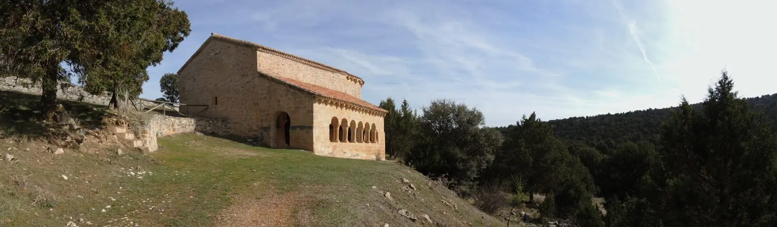
Hermitage of Santa Catalina of Hinojosa: Romanesque among junipers
Hinojosa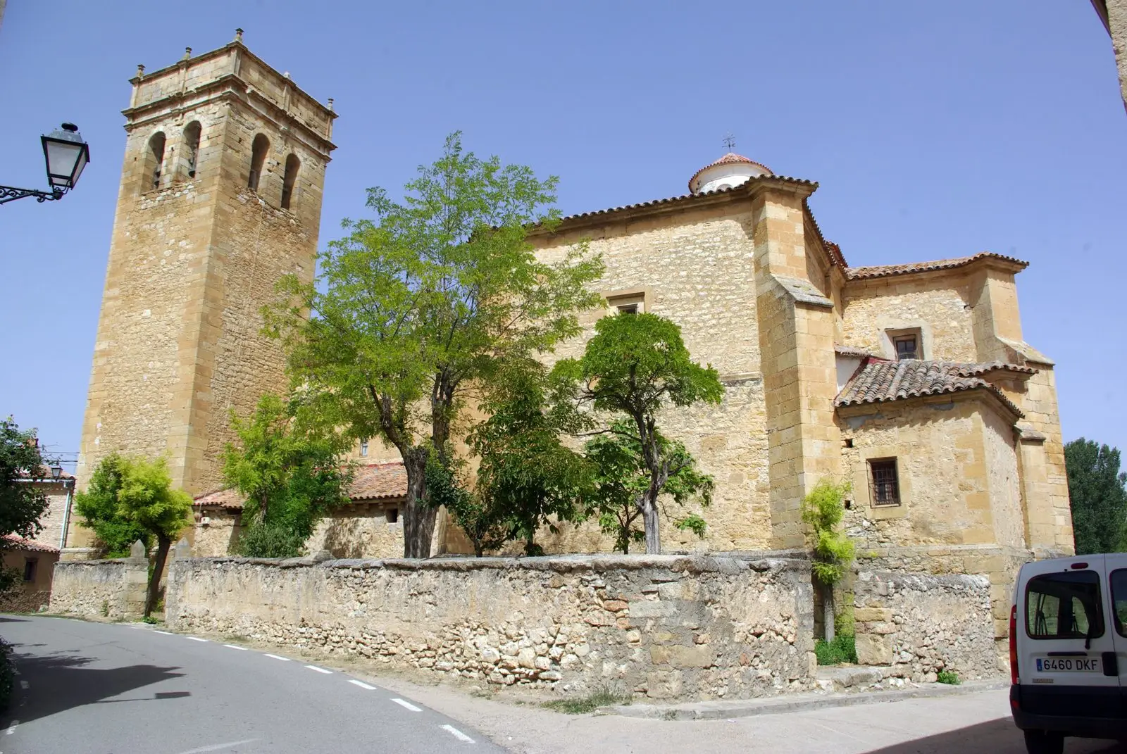
Church of San Bartolomé (Tartanedo): Romanesque portal with carved beasts
TartanedoCasa de los Utrera: the Baroque palace of Tartanedo
TartanedoMilmarcos: manor houses, Mannerist altarpiece, and a theatre of a prosperous town
MilmarcosNearby routes
All routes →
PR-GU 11: the ancient trail to Jaraba (Milmarcos)
14 km · Circular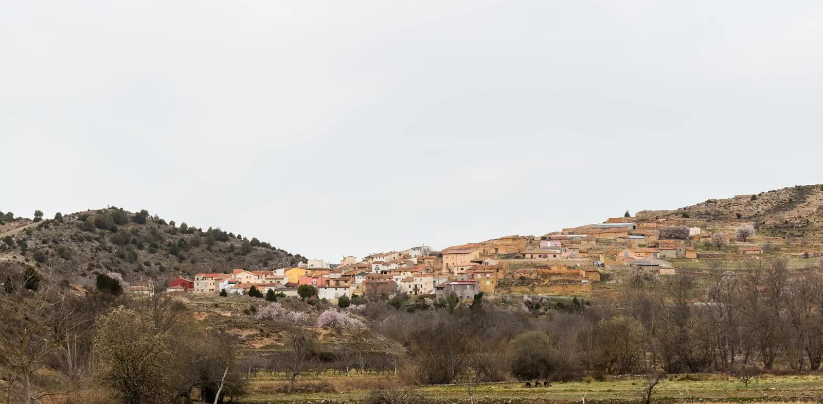
Geotrail 11: the Mesa River valley
15.5 km · 3 h