Village · Guadalajara · 1,315 m
Labros
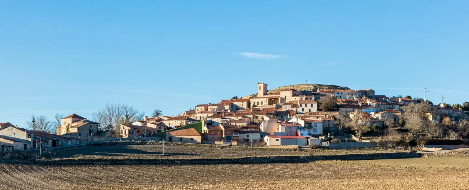
Labros is a hamlet of Tartanedo at over 1,300 metres on a limestone plain called the Lastra de Labros. It was an independent municipality until 1973. Its church of Santiago Apóstol has one of the richest Romanesque portals in the Señorío, with carved capitals depicting biblical themes and Muslim-inspired motifs, restored in the early 21st century.
Lands and landscapes
From here, follow the memory of the territory
These readings connect Labros with the history, work, and villages around it.
Traces in the village and its surroundings
Which eras you can read here
A single place can preserve traces from different eras. These layers connect what you see with the stories in the atlas.
What to see in Labros
- The church of Santiago Apóstol, with a late 12th or early 13th-century Romanesque portal: three archivolts, chequered moulding, and capitals depicting biblical scenes.
On the Lastra
Labros sits at about 1,300 metres, among the highest villages in the Campo de Molina, on the high plain of the Lastra de Labros. In 1900 it had around 240 inhabitants. It remained a separate municipality until 1973, when it merged, along with Amayas and Concha, into Tartanedo.
Nearby
Amayas and its elm, Hinojosa and Santa Catalina, and Milmarcos.
A childhood built with hands
Fernando Gutiérrez recalled in the village journal the toys they made with wood and discarded cards. That everyday memory continues in An old deck, a branch. The same issue preserves the village plays prepared for the square.
Places in and around Labros
Near Labros
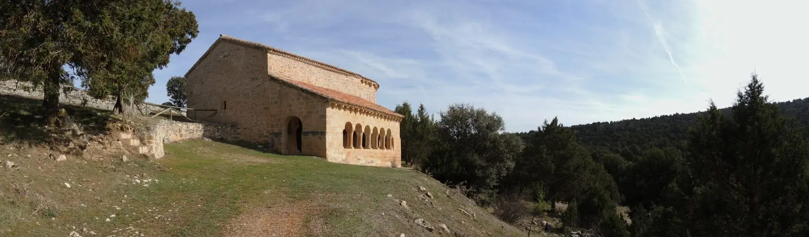
Hermitage of Santa Catalina of Hinojosa: Romanesque among junipers
HinojosaAmayas Elm: a survivor of Dutch elm disease
AmayasMilmarcos: manor houses, Mannerist altarpiece, and a theatre of a prosperous town
Milmarcos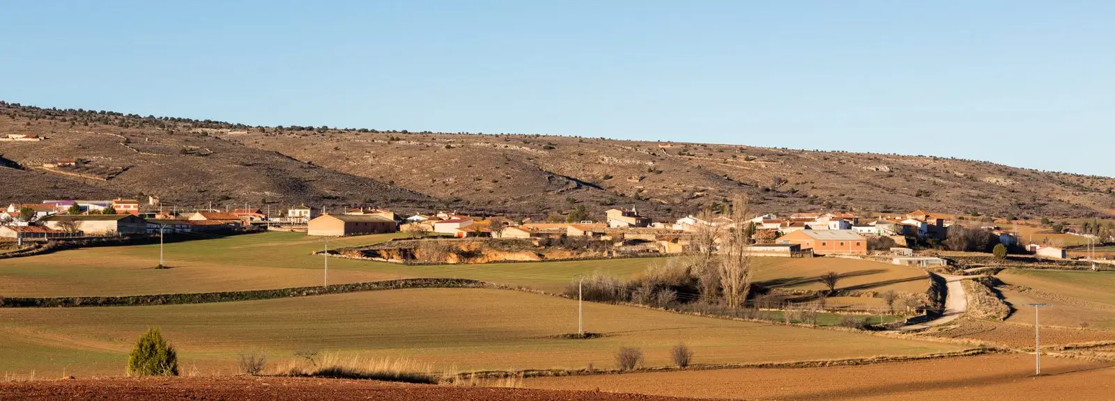
PR-GU 11: the ancient trail to Jaraba (Milmarcos)
14 km · CircularTormo de Mochales: The Rock Tower of the Mesa Valley
Mochales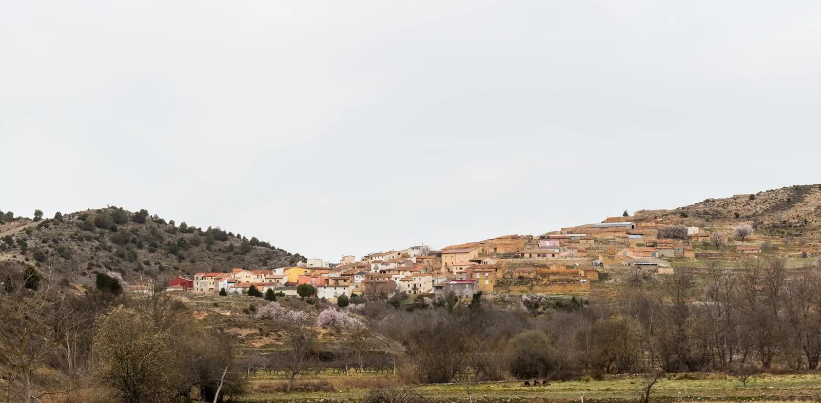
Geotrail 11: the Mesa River valley
15.5 km · 3 hCasa de los Utrera: the Baroque palace of Tartanedo
Tartanedo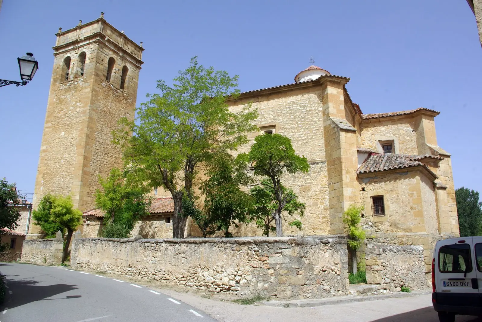
Church of San Bartolomé (Tartanedo): Romanesque portal with carved beasts
TartanedoPopulation of Labros, 1842–1970
Labros reached a peak of 275 inhabitants in 1877 ; in 1970 it had 84, before merging into the municipality of Tartanedo. This is the history told in the emptying of the Alto Tajo.
Climate in Labros month by month
2015–2024 averages from Copernicus ERA5 reanalysis for an altitude of approx. 1,315 m. Useful for planning, not a substitute for live forecasts.
Location
● Reference point · ● Villages · ● Places
Location diagram. Detailed map with tracks and names loads on zoom.
Reference villages: Amayas · Hinojosa · Milmarcos · Mochales.
Open the full map and historical layers →