Village · Guadalajara · 930 m
Villel de Mesa
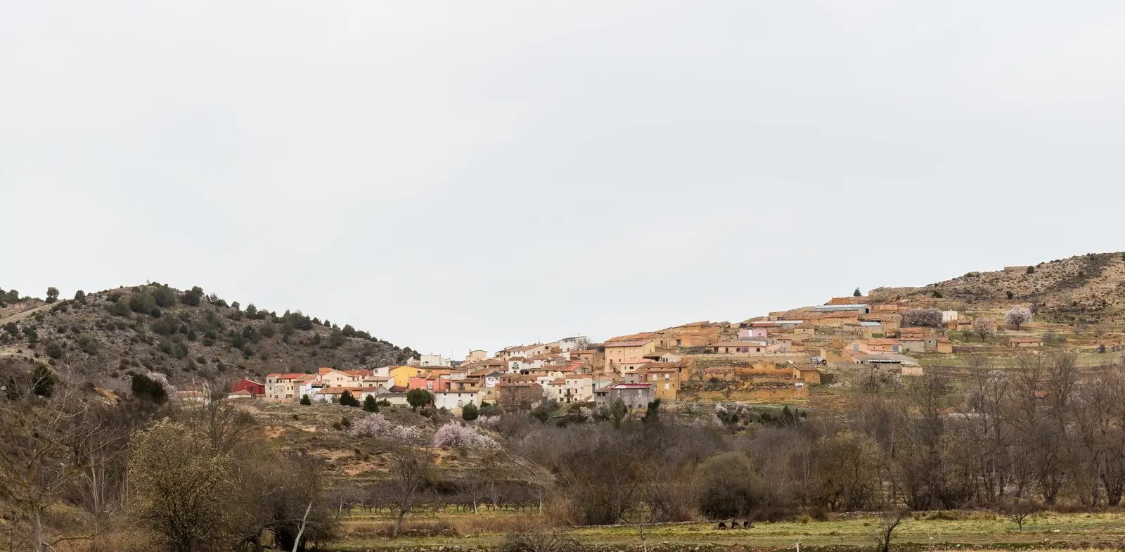
Villel de Mesa, at 930 metres in the Mesa valley, was resettled in the 12th century by Manrique de Lara. A strategic route between Castile and Aragon, the Navarrese Funes family held it in 1299. It keeps its cliffside castle and Pozo Galeano gorge.
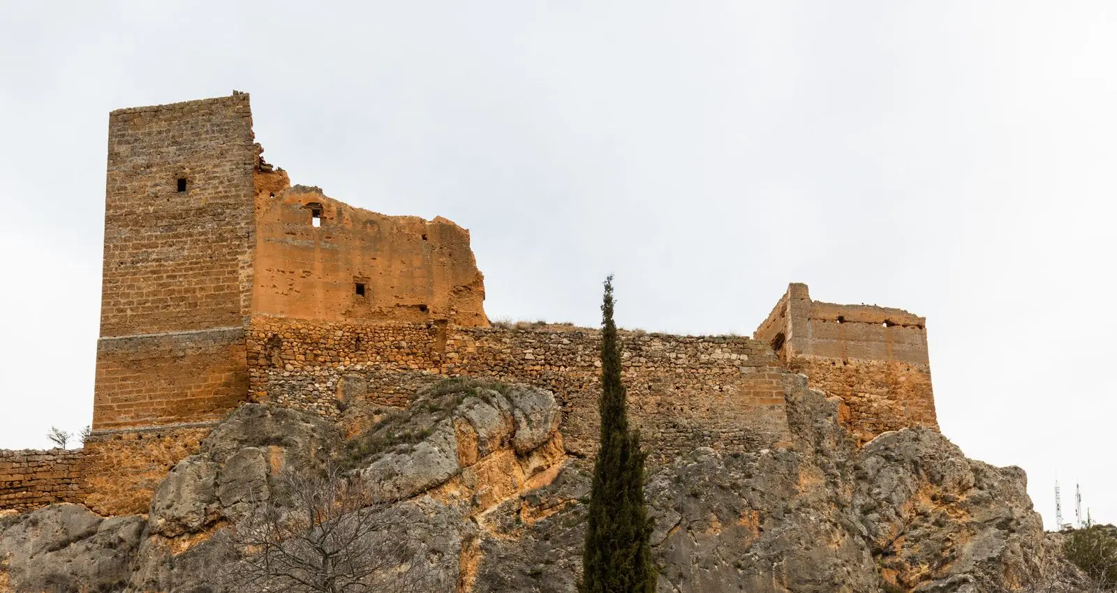
Traces in the village and its surroundings
Which eras you can read here
A single place can preserve traces from different eras. These layers connect what you see with the stories in the atlas.
What to see in Villel de Mesa
- The castle of Villel, perched on a sheer rocky outcrop.
- The Pozo Galeano, a gorge on the Mesa River with a waterfall and pools, a short walk from the village.
A corridor between kingdoms
Traces of very early settlement exist, but the village emerged in the 12th century, when Manrique Pérez de Lara, first lord of Molina, resettled the valley and included it in the charter boundaries. Villel sits at the foot of a rocky promontory in the middle of the valley, and its position as a corridor between Castile and Aragon made it strategic. In 1299, the Funes, a Navarrese family holding the castle of Ariza, seized the settlements and towers in the upper Mesa valley.
Nearby
Algar de Mesa, downstream, and Mochales, with its Tormo rock pinnacle.
Places in and around Villel de Mesa
Routes linked to Villel de Mesa
Near Villel de Mesa
Church of Santo Domingo de Guzmán (Algar de Mesa)
Algar de MesaAmayas Elm: a survivor of Dutch elm disease
AmayasTormo de Mochales: The Rock Tower of the Mesa Valley
MochalesChurch of Santiago in Labros: a recovered Romanesque gem
Labros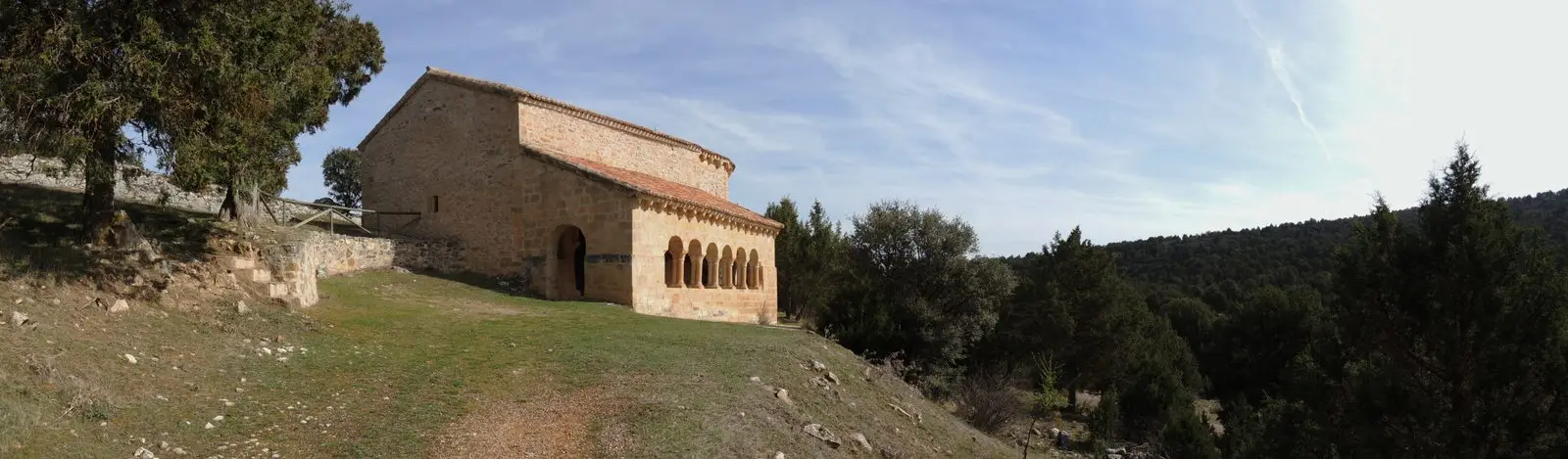
Hermitage of Santa Catalina of Hinojosa: Romanesque among junipers
HinojosaMilmarcos: manor houses, Mannerist altarpiece, and a theatre of a prosperous town
Milmarcos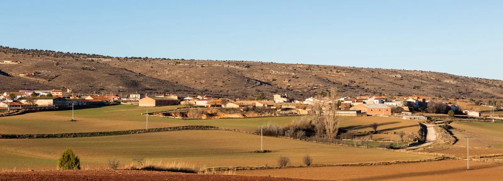
PR-GU 11: the ancient trail to Jaraba (Milmarcos)
14 km · Circular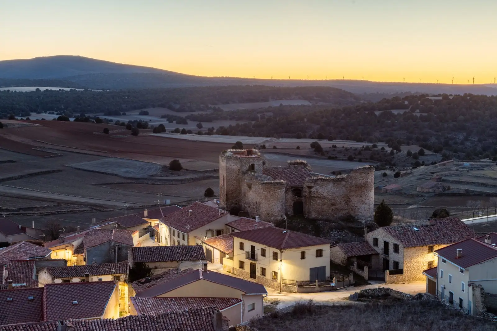
Castle of the Mala Sombra (Establés): history and legend
EstablésPopulation of Villel de Mesa, 1842–2021
Villel de Mesa reached a peak of 833 inhabitants in 1920 . In the 2021 census there were 181 , a decrease of 78%. This is the history told in the emptying of the Alto Tajo.
Climate in Villel de Mesa month by month
2015–2024 averages from Copernicus ERA5 reanalysis for an altitude of approx. 930 m. Useful for planning, not a substitute for live forecasts.
Location
● Reference point · ● Villages · ● Places
Location diagram. Detailed map with tracks and names loads on zoom.
Reference villages: Algar de Mesa · Mochales · Amayas · Labros.
Open the full map and historical layers →