Village · Guadalajara · 1,230 m
Amayas
Amayas is a hamlet of Tartanedo at around 1,230 metres, an independent municipality until 1973. In the centre of the village stands one of the few large elms to survive Dutch elm disease, listed as a tree of provincial interest. Its parish church was rebuilt in 1778. It celebrates its patron, San Martín, in early August.
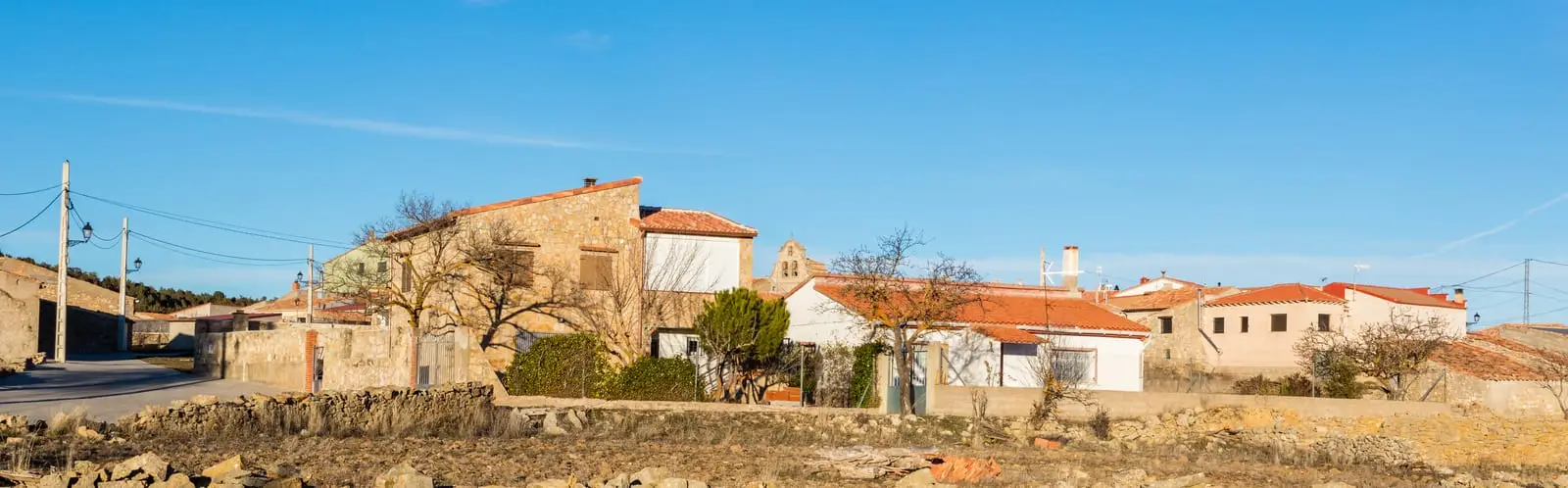
What to see in Amayas
- The elm of Amayas, a survivor of Dutch elm disease and a tree of provincial interest.
- The parish church, rebuilt in 1778.
A village of El Campo
Amayas stands at about 1,230 metres in the Campo de Molina. It had its own municipal council until 1973, when it merged into Tartanedo alongside Labros and Concha. In the mid-19th century it had around 215 inhabitants. The feast of the patron saint, San Martín Obispo, is held on the first Saturday of August, though his official feast day is 11 November.
Nearby
Mochales and the Tormo, three and a half kilometres away; Labros and Villel de Mesa.
Places in and around Amayas
Near Amayas
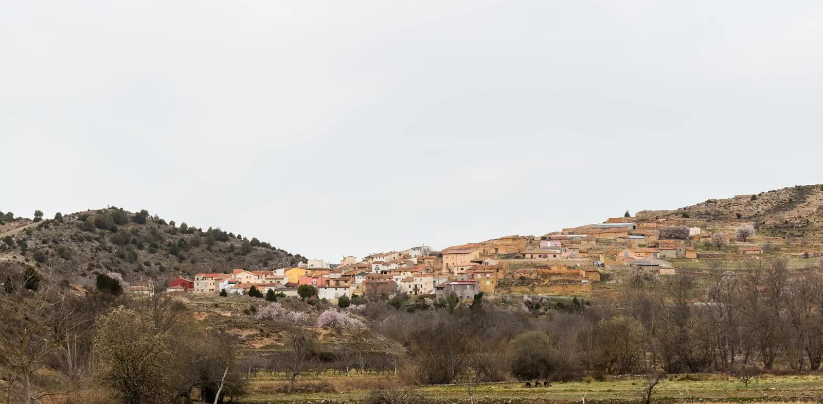
Geotrail 11: the Mesa River valley
15.5 km · 3 hTormo de Mochales: The Rock Tower of the Mesa Valley
MochalesChurch of Santiago in Labros: a recovered Romanesque gem
LabrosPozo Galeano (Villel de Mesa): gorge and waterfall of the Mesa River
Villel de Mesa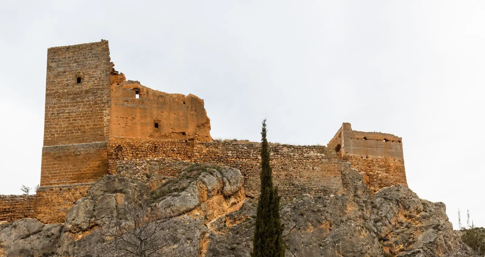
Castle of Villel de Mesa: the rock fortress of the Funes
Villel de Mesa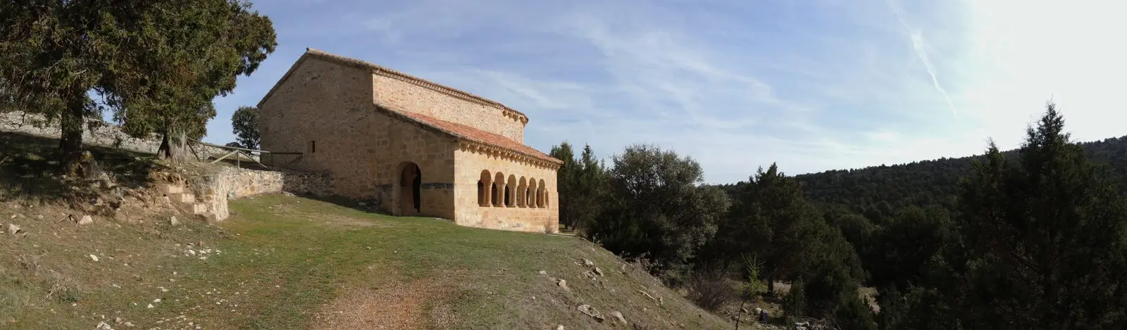
Hermitage of Santa Catalina of Hinojosa: Romanesque among junipers
HinojosaChurch of Santo Domingo de Guzmán (Algar de Mesa)
Algar de Mesa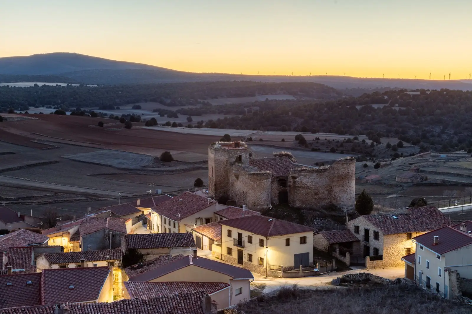
Castle of the Mala Sombra (Establés): history and legend
EstablésPopulation of Amayas, 1842–1970
Amayas reached a peak of 254 inhabitants in 1897 ; in 1970 it had 107, before merging into the municipality of Tartanedo. This is the history told in the emptying of the Alto Tajo.
Climate in Amayas month by month
2015–2024 averages from Copernicus ERA5 reanalysis for an altitude of approx. 1,230 m. Useful for planning, not a substitute for live forecasts.
Location
● Reference point · ● Villages · ● Places
Location diagram. Detailed map with tracks and names loads on zoom.
Reference villages: Mochales · Labros · Villel de Mesa · Algar de Mesa.
Open the full map and historical layers →