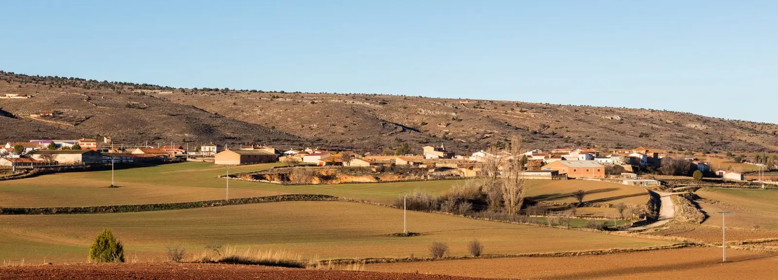
Route · Mochales, Villel de Mesa, Algar de Mesa
Georuta 11: Geotrail 11: the Mesa River valley
Georuta 11 of the Molina-Alto Tajo Geopark covers about 15.5 km along the Mesa River valley, between Mochales, Villel de Mesa, and Algar de Mesa, showing how the river shaped landscape and local livelihoods. By road, with 6 km of track to stop 1; around 3 hours.
- Code
- Georuta 11
- Distance
- 15.5 km
- Duration
- 3 h
- Difficulty
- Moderate
Walking duration without transfers or stops. Difficulty estimated from distance and elevation when no official classification exists. “Easy” does not imply wheelchair or stroller accessibility.
- Georuta 11
- Geopark
- Mesa River
- Around 3 hours
A journey through landscape and history
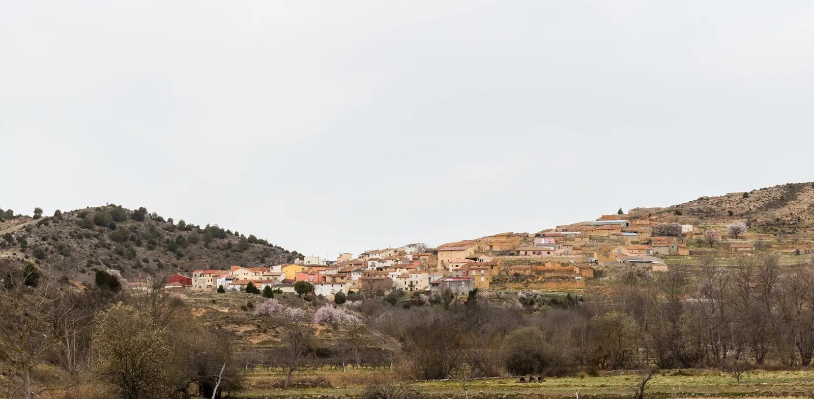
The Mesa River descends from the parameras of the Señorío towards Aragon, cutting a valley of orchards, cliffs, and castle towns. The georoute explains how the river determined topography and visible geology along the hillsides, and how human communities harnessed its waters. It visits Mochales, with its rock pinnacle; Villel de Mesa, with its castle; and Algar de Mesa.
Recommendations
The first stop is reached via approximately 6 km of dirt track: the Geopark advises against driving this stretch with motor vehicles. The remainder runs along paved road. Driving, cycling, or walking takes around 3 hours. An interactive brochure and GPS track are available on the Geopark website.
Before you set out
Carry water, mountain footwear, and download the GPS track in advance: mobile reception is absent in many areas. Check the forecast on Today in the Alto Tajo and the official trail sheet for notices and closures, and respect seasonal restrictions during raptor breeding periods.
Official route · Geoparque Mundial UNESCO Molina-Alto Tajo. Description, track and notices on the official guide. Before setting out, verify there whether changes or closures apply.
Location
● Reference point · ● Villages · ● Places
Location diagram. Detailed map with tracks and names loads on zoom.
Approximate position: village centre.
This guide displays the reference location; no route track is available.
Reference villages: Mochales · Amayas · Villel de Mesa · Algar de Mesa.
Open the full map and historical layers →