Village · Guadalajara · 1,303 m
Codes
Codes is a hamlet of Maranchón on a hill at about 1,300 metres, on the border with Soria, overlooking a Spanish juniper grove. Its springs feed the Mesa river in the Ebro basin. It was a municipality until 1970. Every 16 August it stages the Soldadesca in honour of San Roque. A stone-carved horse silhouette was found in its territory.
Atop the hill
Codes sits atop a hill at around 1,310 metres, overlooking much of its municipal area and, below, an extensive Spanish juniper woodland. To the north it borders Judes and Iruecha in Soria. Its springs feed the Mesa river, whose waters flow to the Ebro.
The Soldadesca
Local festivals honouring the Virgen del Buen Suceso run from 13 to 16 August. On 16 August, the Soldadesca de San Roque is performed, a pageant of military and religious origin designated of provincial tourist interest.
History
The territory contains several archaeological sites, notably the carved stone silhouette of a horse, attributed to Celtiberian times. In the mid-19th century it had about 450 inhabitants. In 1970 it merged with Maranchón, Balbacil, and Clares into the present municipality of Maranchón.
Near Codes
Maranchón Juniper Forest: the largest Spanish juniper woodland in Europe
MaranchónParameras de Maranchón, Hoz del Mesa, and Aragoncillo: land of Dupont's lark
MaranchónEl Mirón Paleontological Museum (Maranchón)
Maranchón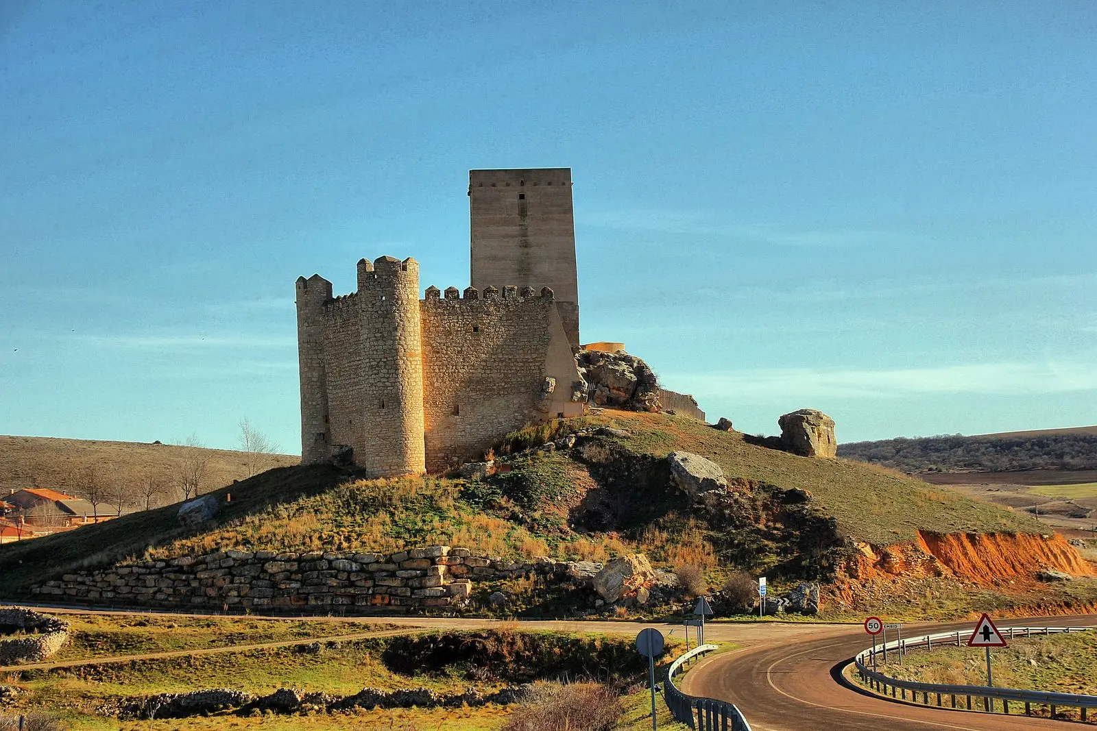
GR-168, Camino Real de Aragón, through the Sexma del Campo
58.9 km · LinearTormo de Mochales: The Rock Tower of the Mesa Valley
Mochales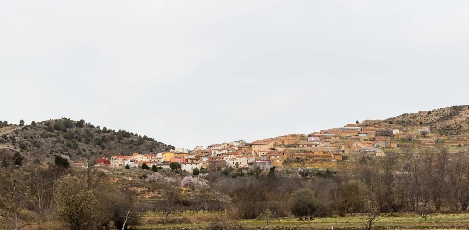
Geotrail 11: the Mesa River valley
15.5 km · 3 hLa Cándida Resin Works (Mazarete)
MazareteCouncil Pen of Ciruelos del Pinar: communal justice among neighbours
Ciruelos del PinarPopulation of Codes, 1842–1960
Codes reached a peak of 451 inhabitants in 1842 ; in 1960 it had 308, before merging into the municipality of Maranchón.
Climate in Codes month by month
2015–2024 averages from Copernicus ERA5 reanalysis for an altitude of approx. 1,303 m. Useful for planning, not a substitute for live forecasts.
Location
● Reference point · ● Villages · ● Places
Location diagram. Detailed map with tracks and names loads on zoom.
Reference villages: Maranchón · Mochales · Mazarete · Ciruelos del Pinar.
Open the full map and historical layers →