Village · Guadalajara · 993 m
Mochales
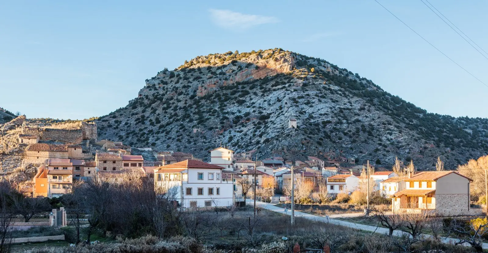
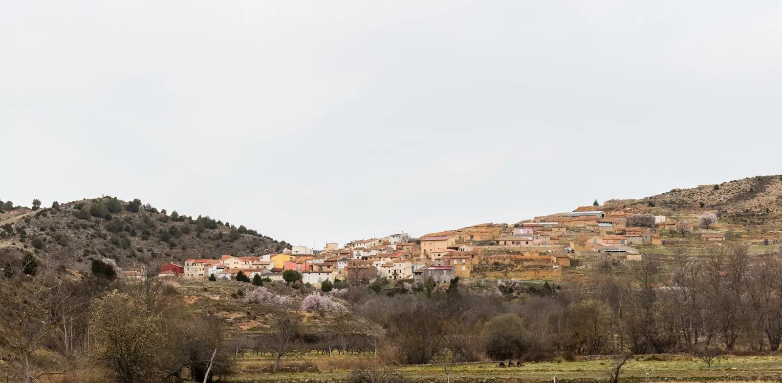
Mochales is a village on the banks of the Mesa River, at around 990 metres, in the north of the Señorío. Its territory holds El Tormo, an isolated rock tower in the middle of the valley, and a trail to El Escalerón. It borders Europe's largest juniper wood.
Traces in the village and its surroundings
Which eras you can read here
A single place can preserve traces from different eras. These layers connect what you see with the stories in the atlas.
What to see in Mochales
- The Tormo de Mochales, an isolated rock tower in the middle of the valley floor, the remnant of an abandoned meander.
- The Mesa river trail, from the village to El Tormo and the pass of El Escalerón, part of the Mesa Valley Georoute.
- The church of Nuestra Señora de los Remedios and the remains of a castle.
In the Mesa valley
Mochales stands at around 990 metres, at the bottom of the valley, where the Mesa descends towards Aragon between canyon walls and fertile meadows. Upstream begins the world of Spanish junipers: the municipality forms part of the vast juniper woodland extending towards Soria. In 1900 nearly six hundred people lived here.
Nearby
Amayas, three kilometres away; Villel de Mesa, with its castle; and Algar de Mesa.
Places in and around Mochales
Routes linked to Mochales
Near Mochales
Pozo Galeano (Villel de Mesa): gorge and waterfall of the Mesa River
Villel de Mesa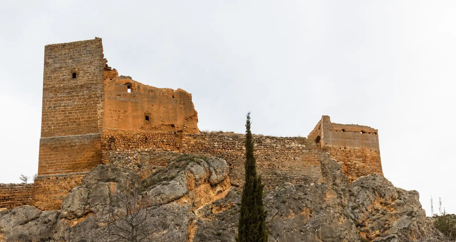
Castle of Villel de Mesa: the rock fortress of the Funes
Villel de MesaAmayas Elm: a survivor of Dutch elm disease
AmayasChurch of Santo Domingo de Guzmán (Algar de Mesa)
Algar de MesaChurch of Santiago in Labros: a recovered Romanesque gem
Labros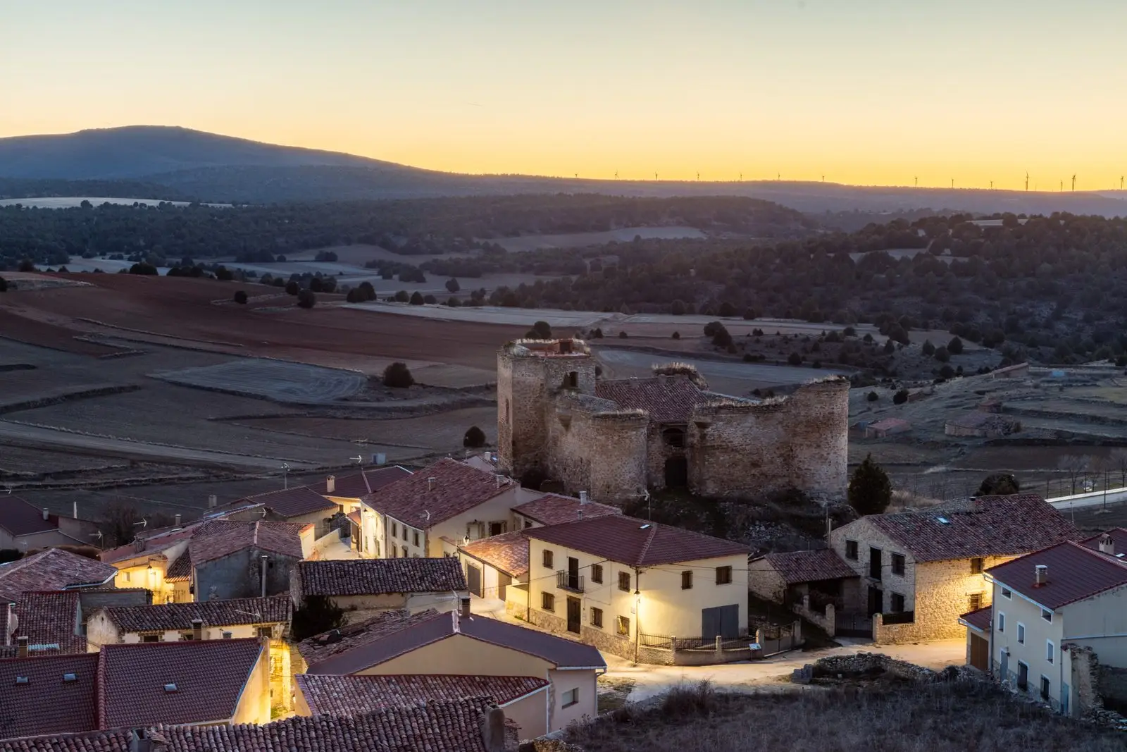
Castle of the Mala Sombra (Establés): history and legend
Establés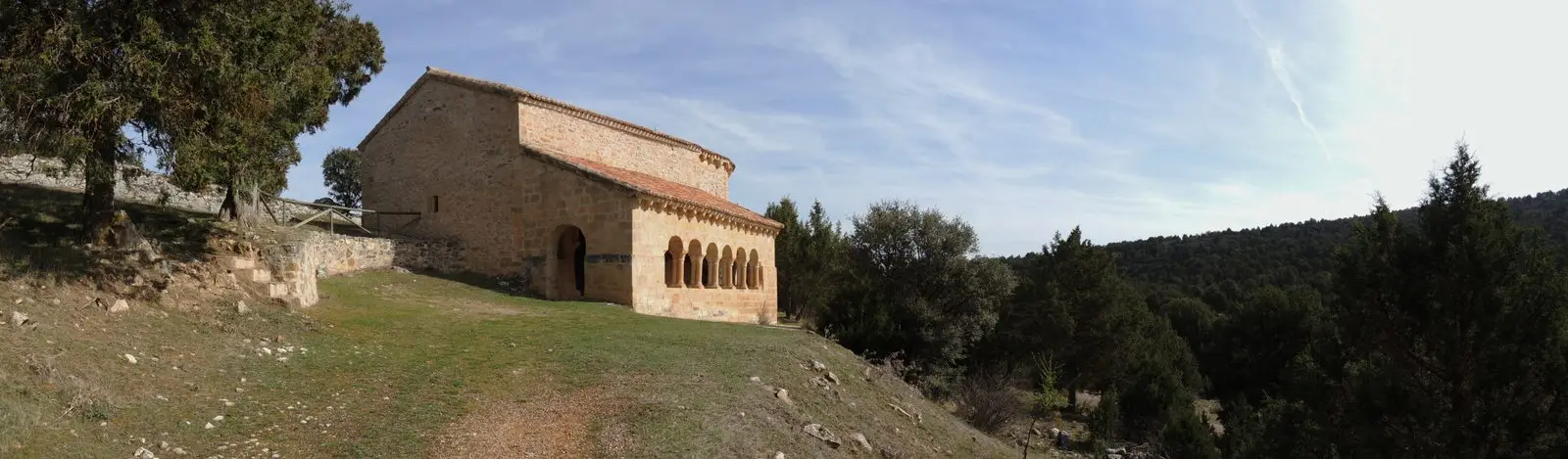
Hermitage of Santa Catalina of Hinojosa: Romanesque among junipers
HinojosaMaranchón Juniper Forest: the largest Spanish juniper woodland in Europe
MaranchónPopulation of Mochales, 1842–2021
Mochales reached a peak of 684 inhabitants in 1860 . In the 2021 census there were 40 , a decrease of 94%. This is the history told in the emptying of the Alto Tajo.
Climate in Mochales month by month
2015–2024 averages from Copernicus ERA5 reanalysis for an altitude of approx. 993 m. Useful for planning, not a substitute for live forecasts.
Location
● Reference point · ● Villages · ● Places
Location diagram. Detailed map with tracks and names loads on zoom.
Reference villages: Amayas · Villel de Mesa · Algar de Mesa · Labros.
Open the full map and historical layers →