Route · Milmarcos
PR-GU 11: the ancient trail to Jaraba (Milmarcos)
Circular route of about 14 km from Milmarcos, certified as PR-GU 11, with 239 m cumulative elevation gain and moderate difficulty. Mostly along a wide path, connecting with the recovered historic trail to Jaraba through plateau woodland, with viewpoints and Pila del Embudo.
Lands and landscapes
From here, follow the memory of the territory
These readings connect PR-GU 11: the ancient trail to Jaraba (Milmarcos) with the history, work, and villages around it.
- Code
- PR-GU 11
- Distance
- 14 km
- Elevation gain
- 239 m
- Trail type
- Circular
- Difficulty
- Moderate
- Altitude
- 1,056 m
Walking duration without transfers or stops. Difficulty rated according to the official source; verify its conditions and notices. “Easy” does not imply wheelchair or stroller accessibility.
- PR-GU 11
- Circular, moderate difficulty
- Recovered historic trail
- Pila del Embudo
A recovered historic path
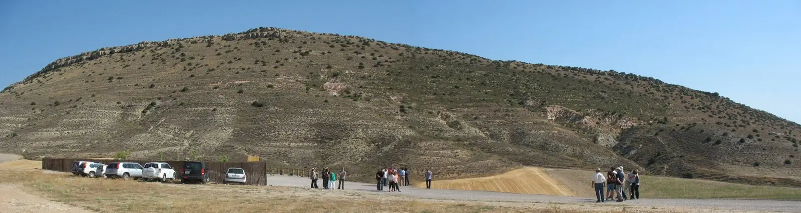
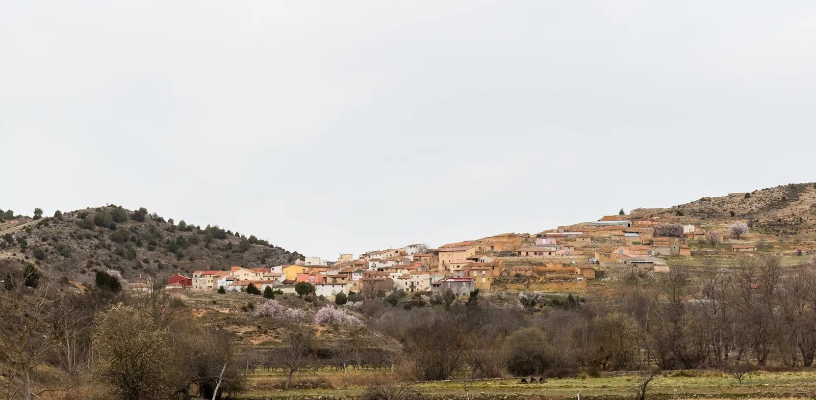
The footpath starts in Milmarcos, one of the most monumental villages in the Señorío, with its historic architectural ensemble. It proceeds without major elevation changes along a broad, fast-walking track until reaching the stretch where the ancient trail to Jaraba, the neighbouring Aragonese town, has been restored. Here you enter Mediterranean woodland and scrub typical of the Castilian plateau.
What to see
Several scenic viewpoints and a detour to the Pila del Embudo, a distinctive sculpted rock formation. Suitable year-round; in summer, early morning starts are recommended.
Waymarking
White and yellow short-distance trail markings (PR). GPS track and route guide are available from the official Federation trail sheet.
Before you set out
Carry water, mountain footwear, and download the GPS track in advance: mobile reception is absent in many areas. Check the forecast on Today in the Alto Tajo and the official trail sheet for notices and closures, and respect seasonal restrictions during raptor breeding periods.
Official route · Federación de Deportes de Montaña de Castilla-La Mancha. Description, track and notices on the official guide. Before setting out, verify there whether changes or closures apply.
Location
● Reference point · ● Villages · ● Places · ━ Simplified official route
Location diagram. Detailed map with tracks and names loads on zoom.
Reference villages: Milmarcos · Fuentelsaz · Hinojosa · Labros.
Open the full map and historical layers →