Village · Guadalajara · 915 m
Algar de Mesa
Algar de Mesa is the last municipality of the Mesa valley in Guadalajara before the river enters Zaragoza, at about 900 metres, the lowest elevation in the north of the Señorío. In 1821 it was briefly part of the short-lived province of Calatayud. Its 16th-century church of Santo Domingo de Guzmán was built over a Romanesque one.
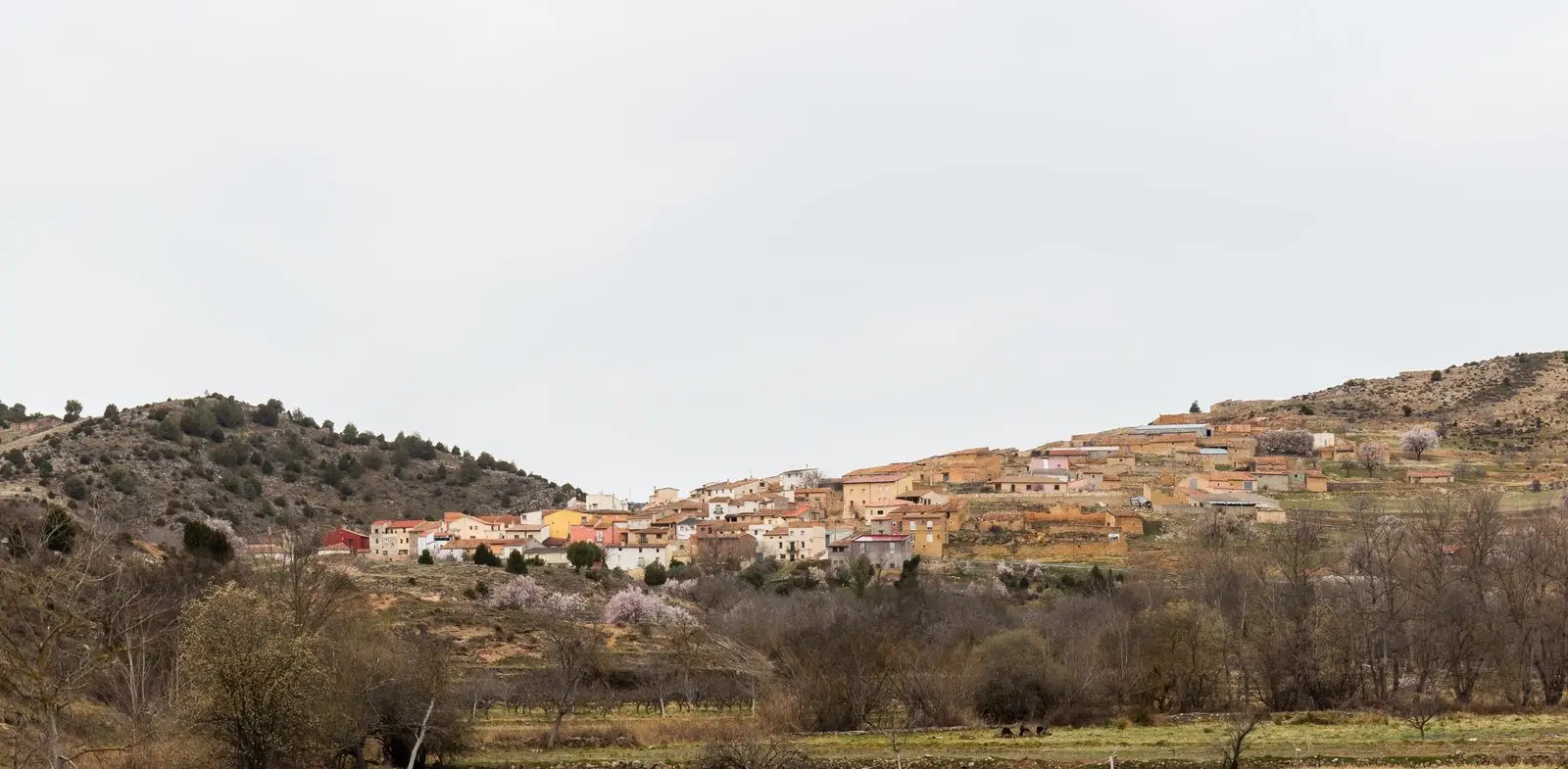
What to see in Algar de Mesa
- The church of Santo Domingo de Guzmán, from the 16th century, built over a Romanesque predecessor.
- The Mesa river, flowing towards Aragon through orchards and fruit trees.
A village once part of Calatayud
In 1821 the Spanish parliament created a province of Calatayud spanning lands from Zaragoza, Soria, Guadalajara and Teruel, and Algar was included. It lasted briefly: in 1823 Fernando VII repealed the acts of the constitutional government and the village returned permanently to Guadalajara. Until 1916 it was called simply Algar. In October 1973 a windstorm remembered locally as a hurricane tore off more than 30,000 roof tiles and uprooted around a hundred fruit trees.
Nearby
Villel de Mesa, with its castle and Pozo Galeano, is less than three kilometres away; Mochales and its rock tower, the Tormo, are six kilometres away.
Places in and around Algar de Mesa
Routes linked to Algar de Mesa
Near Algar de Mesa
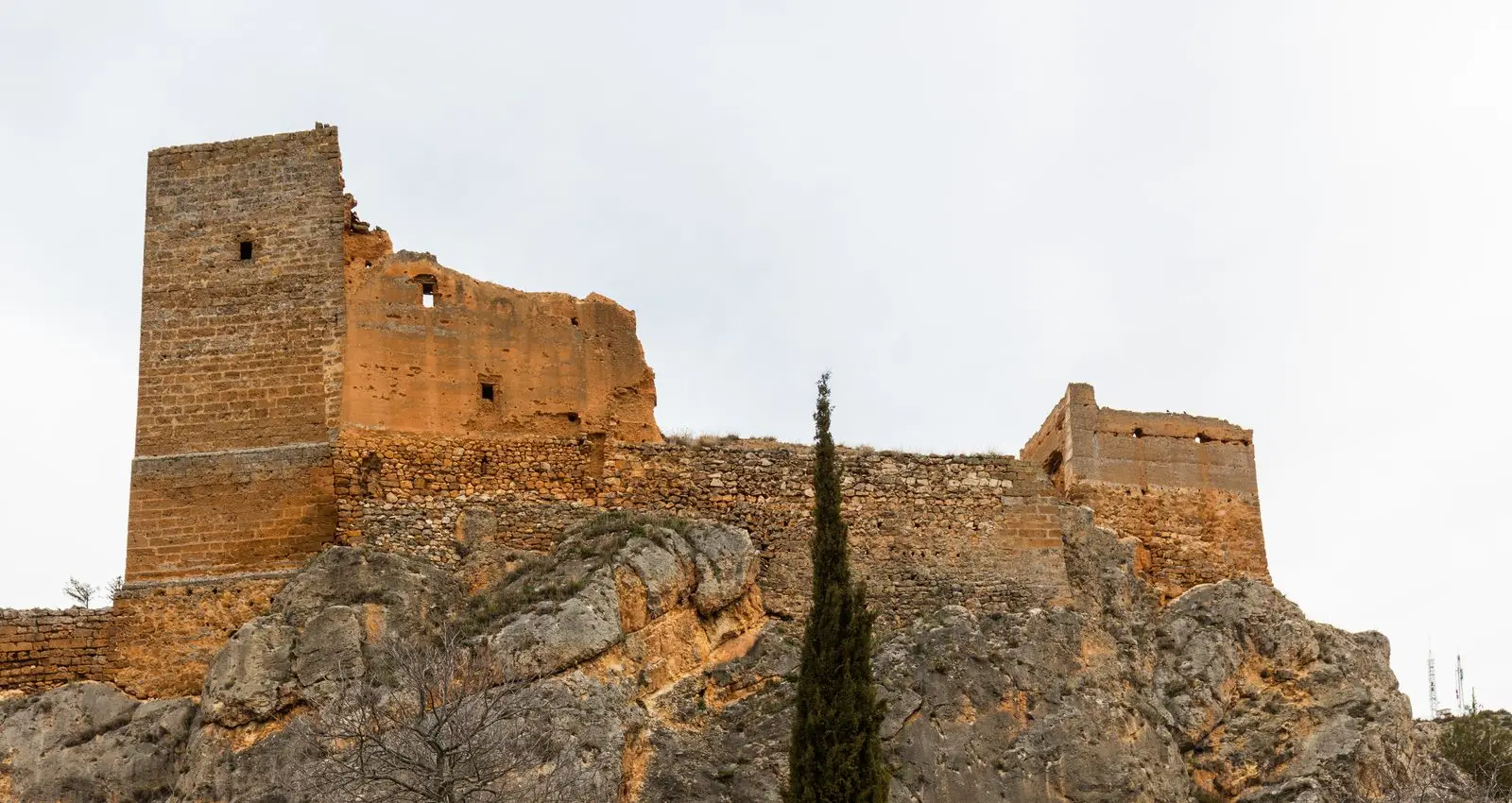
Castle of Villel de Mesa: the rock fortress of the Funes
Villel de MesaPozo Galeano (Villel de Mesa): gorge and waterfall of the Mesa River
Villel de MesaAmayas Elm: a survivor of Dutch elm disease
AmayasMilmarcos: manor houses, Mannerist altarpiece, and a theatre of a prosperous town
Milmarcos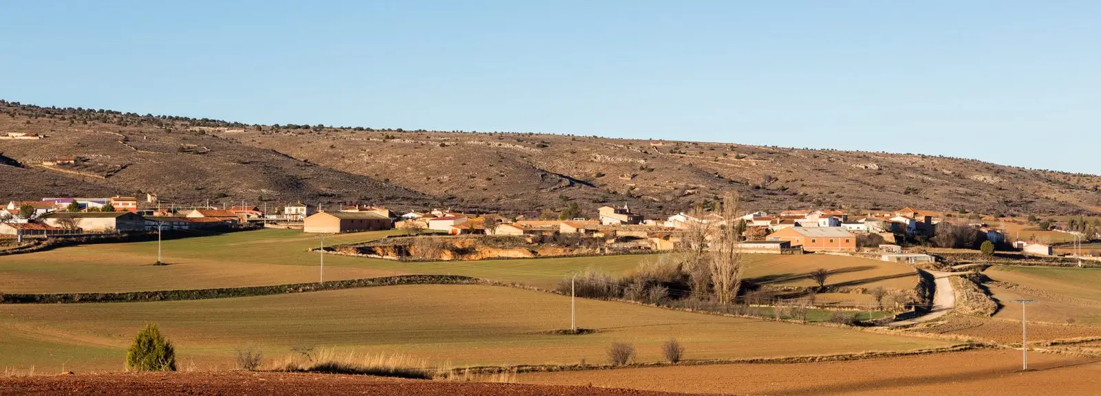
PR-GU 11: the ancient trail to Jaraba (Milmarcos)
14 km · Circular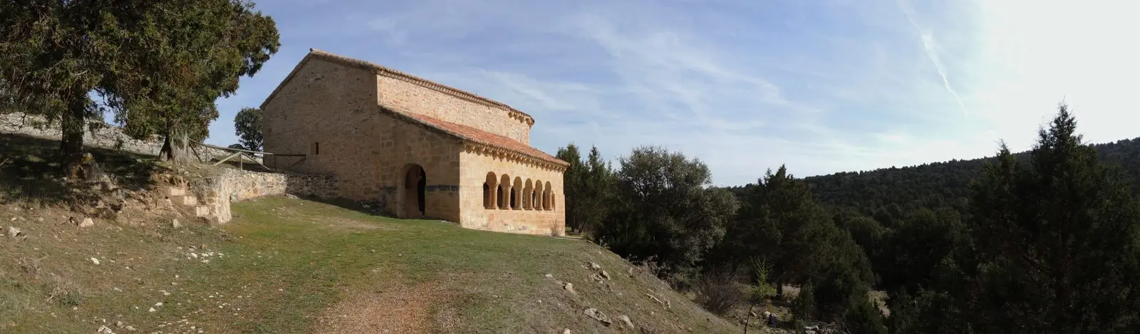
Hermitage of Santa Catalina of Hinojosa: Romanesque among junipers
HinojosaChurch of Santiago in Labros: a recovered Romanesque gem
LabrosTormo de Mochales: The Rock Tower of the Mesa Valley
MochalesPopulation of Algar de Mesa, 1842–2021
Algar de Mesa reached a peak of 336 inhabitants in 1950 . In the 2021 census there were 53 , a decrease of 84%. This is the history told in the emptying of the Alto Tajo.
Climate in Algar de Mesa month by month
2015–2024 averages from Copernicus ERA5 reanalysis for an altitude of approx. 915 m. Useful for planning, not a substitute for live forecasts.
Location
● Reference point · ● Villages · ● Places
Location diagram. Detailed map with tracks and names loads on zoom.
Reference villages: Villel de Mesa · Mochales · Amayas · Labros.
Open the full map and historical layers →